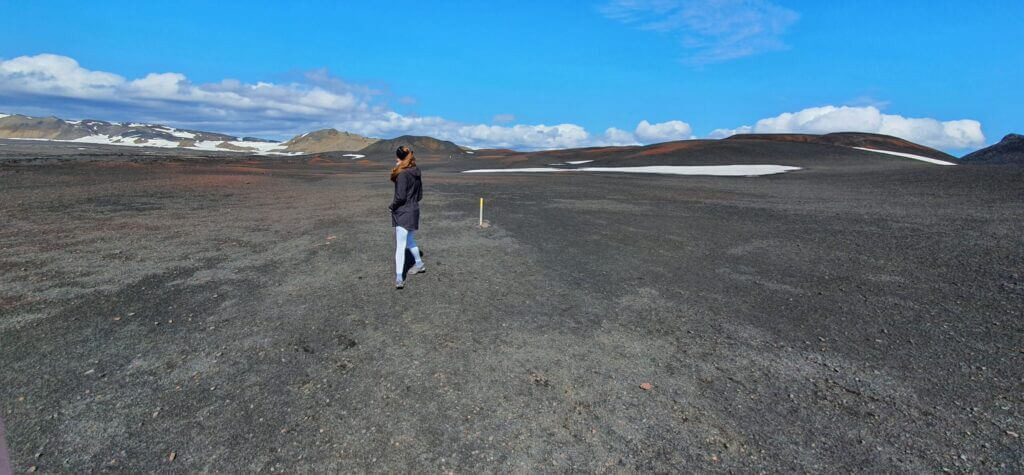
We woke up on a partially sunny, partially cloudy morning. Our plan for today was to walk in more touristy steps and see the famous Dettifoss with Selfoss and explore the areas around Hverir and Krafla. And, to camp as closest to F35 as possible. Why? Well, because the following day was supposed to be devoted to one of our highlights – Kerlingarfjöll.
Contents
Dettifoss and Selfoss
10:00-11:00
How to get there and from what side
You have two choices about how to get to these well-known waterfalls. From the west or from the east. There are endless debates all over the internet about which side is the best. I will make it easier for you. Eastern side is the best. No discussion. Easy.
Observe tourists on our side (east) and the opposite side (west) of the Dettifoss
Ok, let’s be a bit more serious now. Yes, I think the eastern side is much better. Why?
- The road leading there is more adventurous
- View from the eastern side is much better
- Most likely you won’t get wet (much) on this side
- Car parks are smaller, but that should mean fewer tourists, right?
That’s why we went for the eastern side.
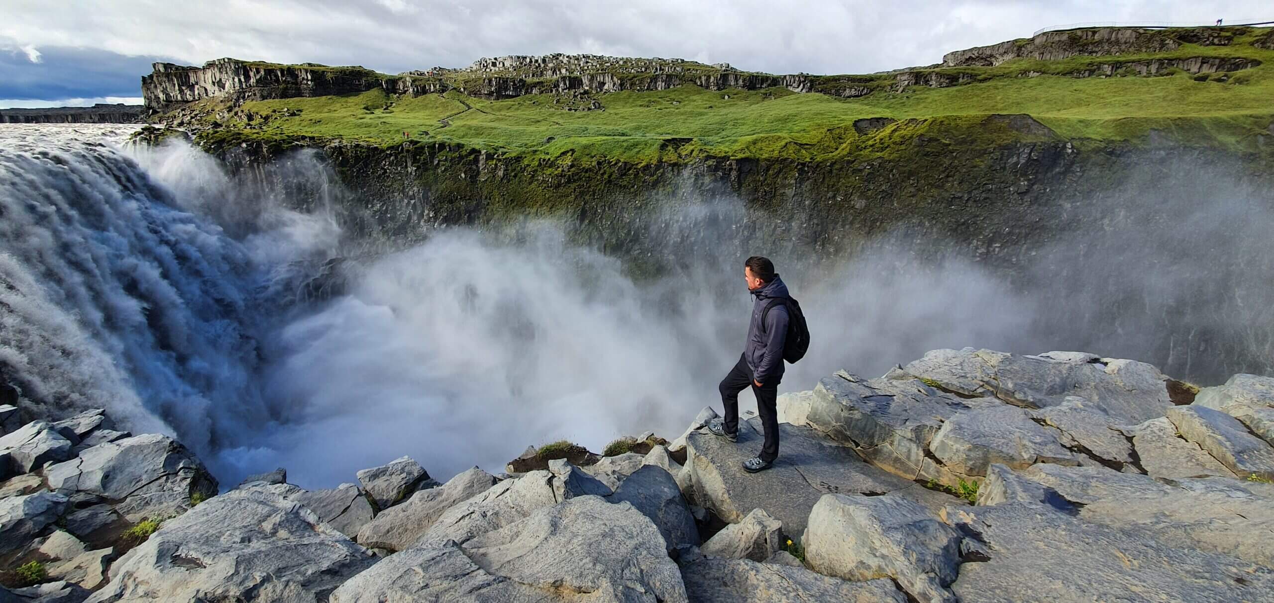
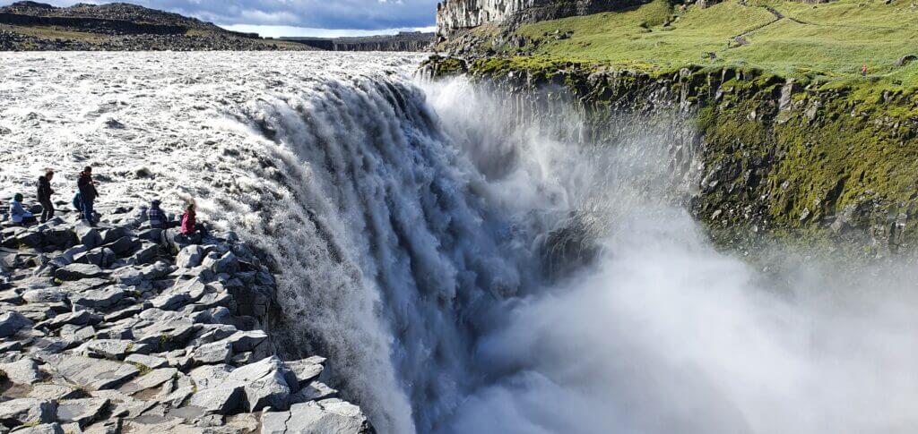
Dettifoss
10:05-10:20
Distance from car park: 5-10 minutes
Time spent at: 10-15 minutes
Worth visiting even with bad weather: yes
Physical condition needed: little / medium
Interesting index: 1 – amazing  (1-amazing, 2-great, 3-nice)
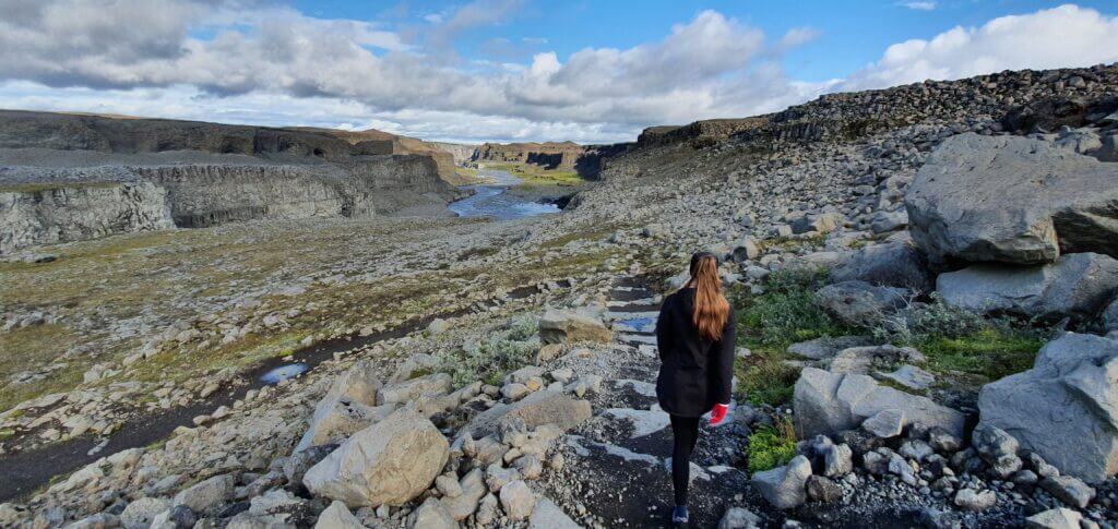
This is how trail from the car park towards Dettifoss looks like. Easy.
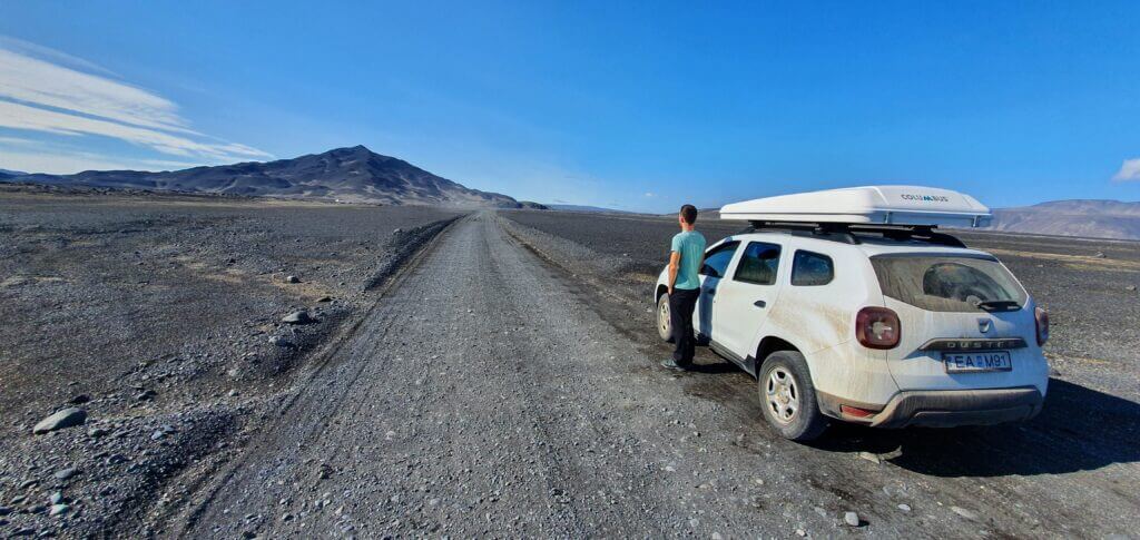
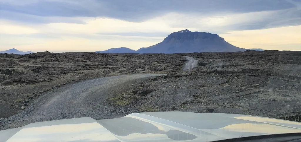
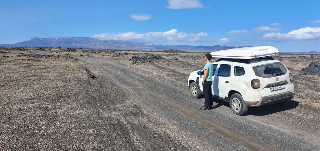
From our Möðrudalur campsite it was an easy ride – first on the Möðrudalsleið, then ring road number 1 and then road 864. Road 864 belongs to one of the better Icelandic gravel roads. I was able to drive the road quite fast. However, there are some passages which have a lot of bigger potholes. So, if you spot and avoid these, you will be fine and quick. For our Dacia Duster, this was a piece of cake. You’re going to leave your car (surprisingly) at a parking lot called Dettifoss parking (east).
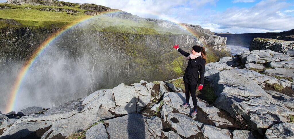
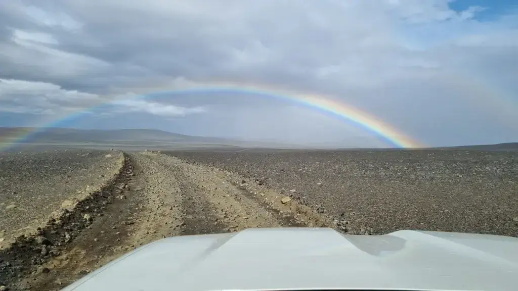
A rainbow next to Dettifoss during our visit
It will take you some 5-10 minutes to walk from the car park on a stony but perfectly safe trail to reach the waterfall. Dettifoss is one of the most beautiful Icelandic waterfalls we’ve seen. Mostly, because its massive water volume is really impressive. It’s also said to be the most powerful Icelandic waterfall, and one of the most powerful ones in Europe as well. For those interested, there’s a nice website summarizing all waterfalls here. We were also lucky enough to catch Dettifoss with a rainbow over it.
Selfoss
10:35-10:45
Distance from car park: 20-30 minutes
Time spent at: 10-15 minutes
Worth visiting even with bad weather: yes
Physical condition needed: little / medium
Interesting index: 2 – great  (1-amazing, 2-great, 3-nice)
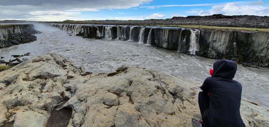
The eastern viewpoint of the Selfoss waterfall
You have to reach Selfoss by walking, there’s no car park. Nevertheless, it’s a short walk of about 10-15 minutes from Dettifoss, again on either stony or normal path. After the waterfalls we’d already seen at that point, we were not that overwhelmed by Selfoss. It’s a nice series of many small waterfalls, so what’s more interesting about it is its width. Needless to say, it’s still a very beautiful place to see.
Dettifoss with Selfoss were also the only places during the Covid-19 times where we met Asian tourists. I just wonder how many tourists are here usually, when there’s no Covid? Probably a lot of.
Hverir, Námaskarð and Námafjall
12:15-13:00
A short glossary may be useful at this place:
- Hverir = hot-mud spring area (! Not available for bathing !)
- Námaskard = the entire area including Hverir, so these two are often used interchangeably (Namaskard hot springs or Hverir hot springs, just there are no hot springs to bath in)
- Námafjall = the mountain in the Hverir area, next to hot springs
- Hverfjall = another volcanic mountain, 12km to the southwest of Hverir area
A nice overview of the area can be found here.
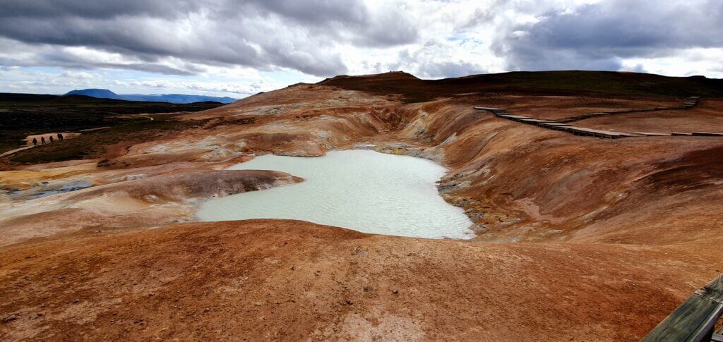
Hverir
12:15-12:25
Distance from car park: 0 minutes
Time spent at: 15-20 minutes
Worth visiting even with bad weather: yes
Physical condition needed: little
Interesting index: 2 – great (1-amazing, 2-great, 3-nice)
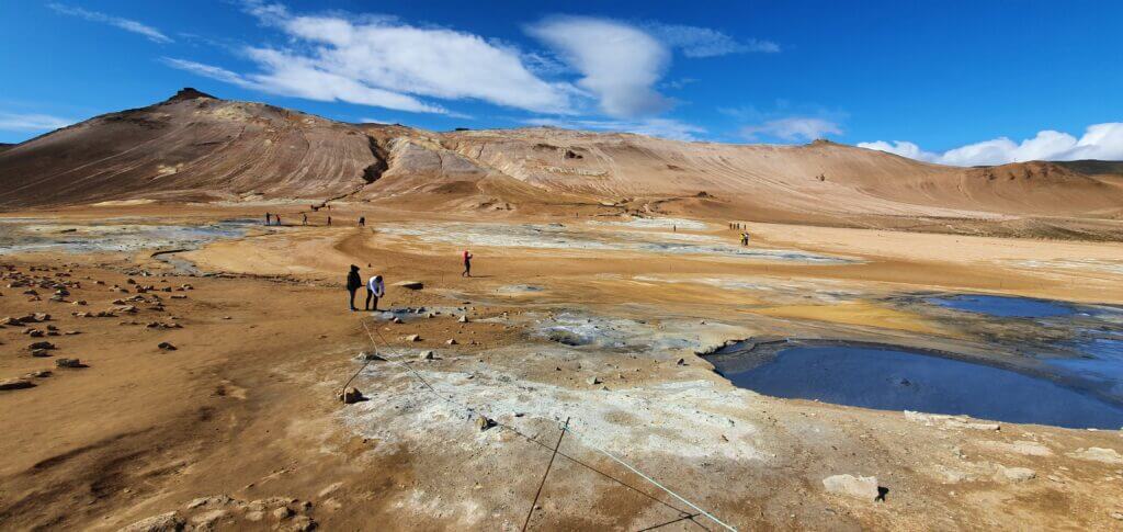
Hverir, aka Námaskarð, in the front with Námafjall mountain in the background
As I already described, Hverir is a hot mud spring area and reminded me a lot of Seltún geothermal area near Reykjavik. Having already seen Seltún, we again were not that much impressed. The entire area was also very very windy on the day of our visit. Hence, it wasn’t very pleasant standing outside in the gravel area where dry clay was blowing into your eyes. Nonetheless, the area is nice and you probably won’t find anything similar anywhere else in the world, so it’s definitely worth visiting. It also suffers from being touristy, thanks to its easy and quick access from the ring road.
Námafjall
12:25-12:55
Distance from car park: 5 minutes to the start of the trail
Time spent at: 1,5 to 2 hours
Worth visiting even with bad weather: no
Physical condition needed: medium
Interesting index: 3 – nice  (1-amazing, 2-great, 3-nice)
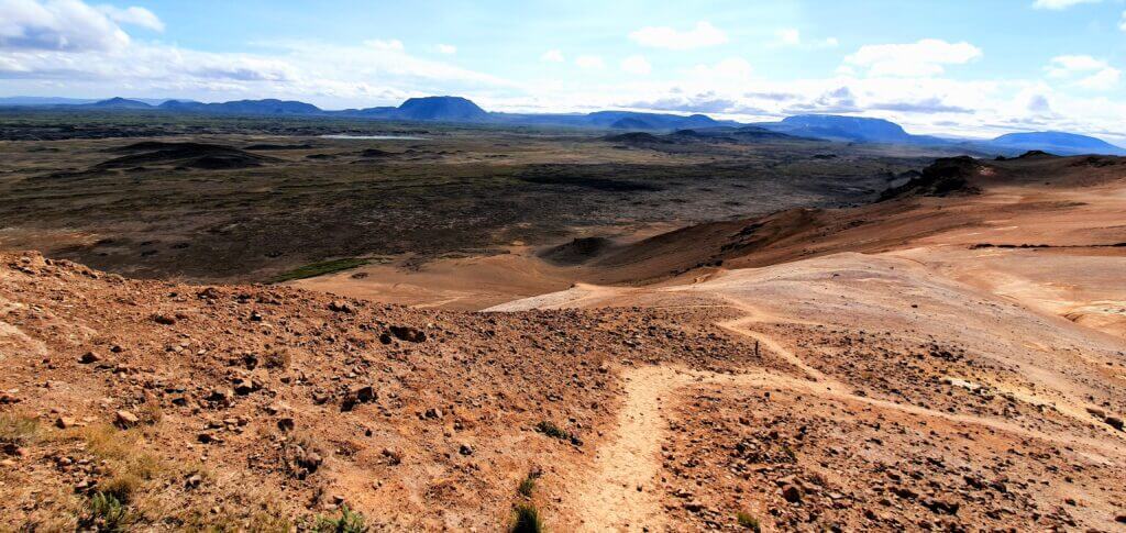
Námafjall clay trail
Námafjall is the mountain standing just above the area of Hverir and yes, as you probably guessed, you may hike it all the way to the top. There’s a loop trail starting near the car park and ending at the same place. It takes approximately 1,5-2 hours to complete, depending on your physical condition and weather conditions. There’s a nice view over the lake Mývatn and over the entire Hverir area from the top. But, again, compared to all the other places we’ve seen in Iceland it just felt like an average one.
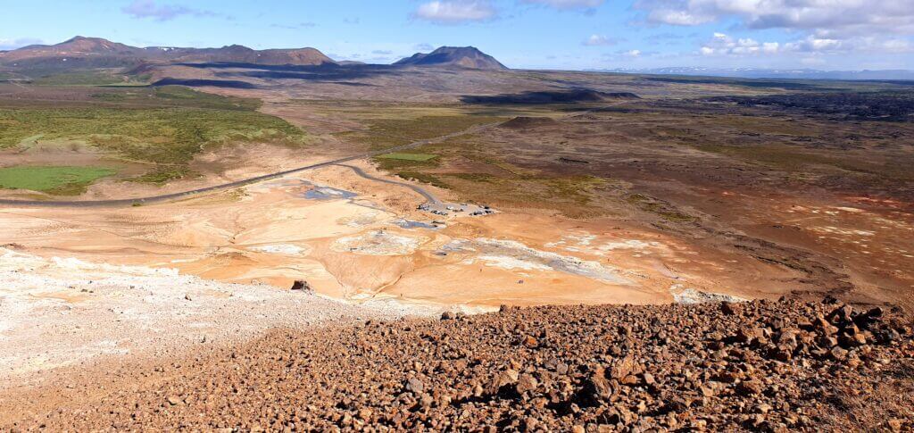
View from the Namafjall mountain
The western part of the loop is a bit steep and you’re walking on a clay surface which doesn’t have a good grip at all. This, together with a strong wind at the time of our visit, was the reason my girlfriend decided to turn back and not finish the ascent to the top. I decided to reach the top myself, see the view and then turn back the same way in order to save some time compared to finishing the entire loop. This took me roughly 30 minutes. As I already described, the view from the top was nice, just for me not that breath-taking as the views in Landmannalaugar or the ones in Askja area. And naturally, the wind was quite obnoxious.
Krafla area, Leirhnjukur, Víti
14:40-16:10
A short glossary again:
- Krafla = entire area with a power plant, lava fields (Leirhnjukur), and volcanic lake (Víti)
- Leirhnjukur = huge lava fields
- Víti = volcanic lake on the opposite side of the road to lava fields
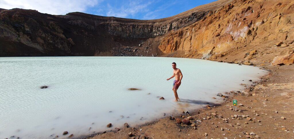
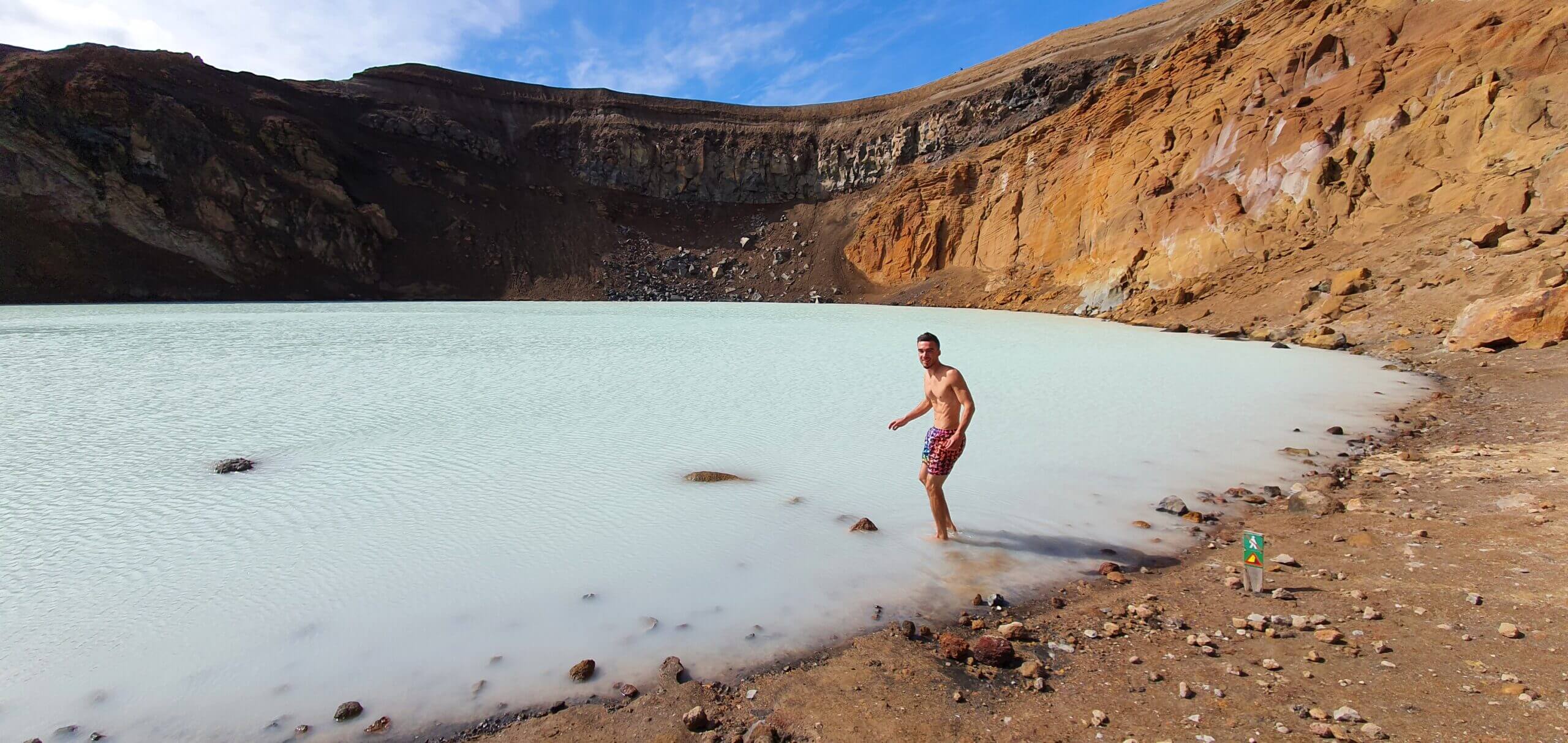
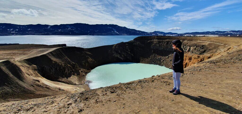
Víti
14:40-14:55
Distance from car park: 0 minutes
Time spent at: 10-20 minutes
Worth visiting even with bad weather: yes
Physical condition needed: little
Interesting index: 2 – great  (1-amazing, 2-great, 3-nice)
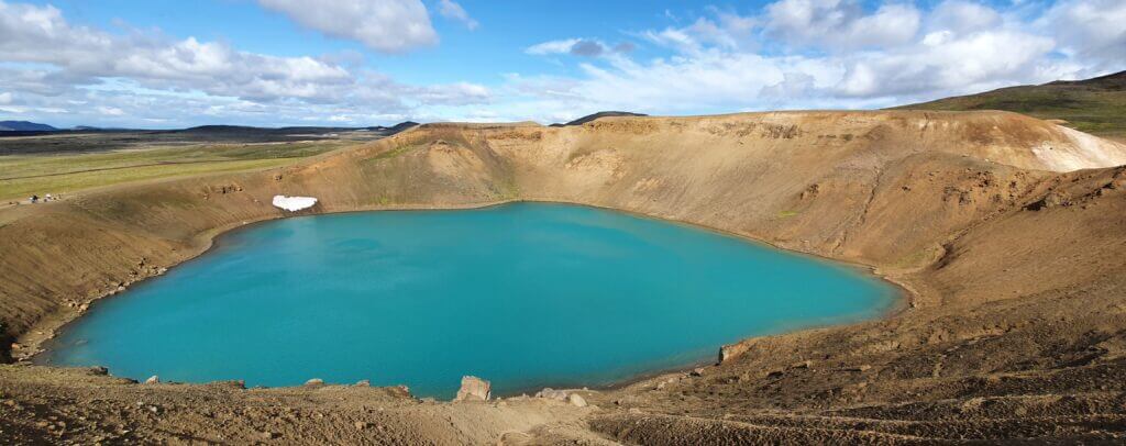
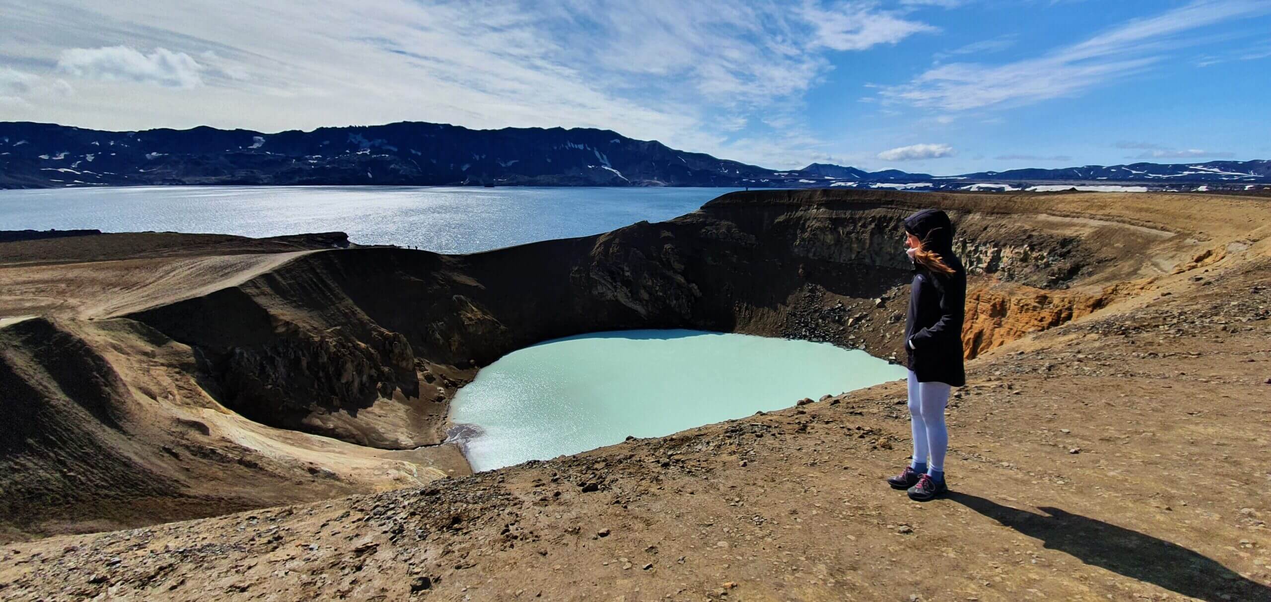
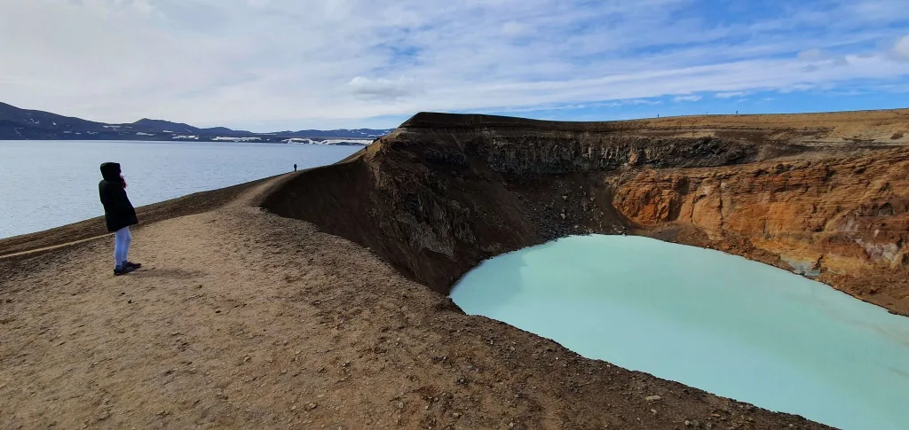
Víti lake in the Krafla area
Víti is a very nice volcanic lake. It’s very easily accessible by car (the parking lot is right next to it). For those who don’t visit Askja, this will be probably the most beautiful “Víti”, or volcanic lake, they will see in Iceland. So it’s definitely worth making a stop, despite being a more touristy place.
Leirhnjukur – Krafla lava fields
15:20-16:10
Distance from car park: 5-10 minutes
Time spent at: 0,5 to 2 hours
Worth visiting even with bad weather: yes
Physical condition needed: little to medium (lot of walking)
Interesting index: 2 – great (1-amazing, 2-great, 3-nice)
Leirhnjukur
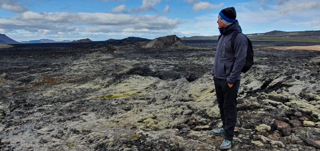
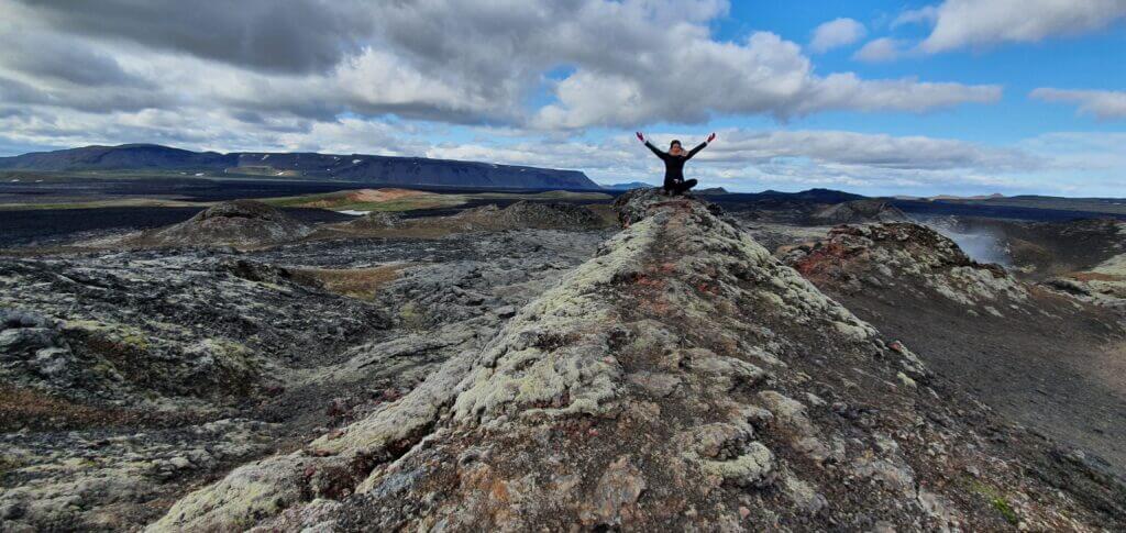
Lava everywhere. That would be the short description of Leirhnjukur. This is the area most of the visitors are looking for when planning a visit to Krafla. The area with a few geothermal hot springs and a LOT of lava stands some 5-10 minutes of walk from the parking lot. Once being there, it’s up to you how and for how long you prefer to explore the entire area. There are several paths, with the longest loop having approximately 4 kilometres. That’s the loop we took.
Krafla, start of the Leirhnjukur trail
It took us roughly 1 hour to finish the entire loop. Everything is well marked so it’s hard to get lost. The entire area (except a few hot springs where you cannot bath) is just a lot of lava in different forms. A hill of lava. A valley of lava. A field of lava. Reddish lava. Blackish lava. Lava. It’s definitely an interesting and surreal place to be at. I’m not a big fan of lava so I would give it just a “3 – nice”. On the other hand, my girlfriend really loved the place giving it “1 – amazing”. Hence, I decided to give it a composite “2 – great”.
Krafla lava fields
Hverfjall
17:10-17:50
Distance from car park: 0 minutes
Time spent at: 20-30 minutes round trip + 10-60 minutes at the top
Worth visiting even with bad weather: yes, probably
Physical condition needed: medium
Interesting index: 2 – great  (1-amazing, 2-great, 3-nice)
Northern (quicker) trail towards Hverfjall
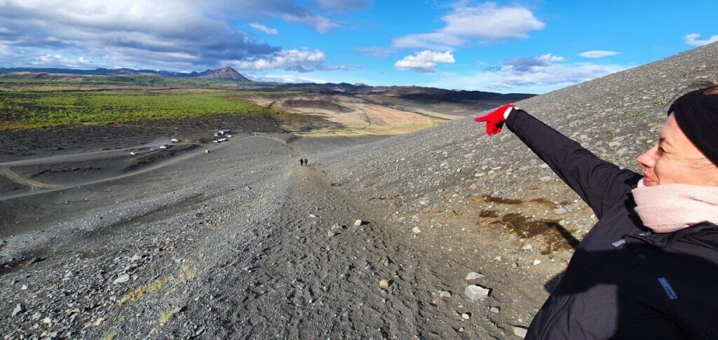
Hverfjall is a very nice volcanic crater easily reached by car, near Reykjahlid. It can be a nice addition to your Krafla and Hverir area trip on a day with good weather. To get to the top and enjoy the most beautiful view of both Hverfjall and the surrounding area, you have to choose one of the two hiking trails. The northern one is the one which most of the visitors use because it’s supposed to be easier and shorter. We took that one as well (so cannot say how does the other one look). Here’s the map displaying both trails.
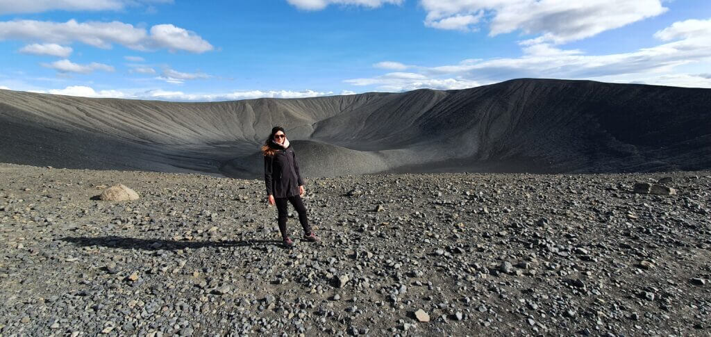
At the summit of Hverfjall
The hike is easy, safe and short on a mildly steep gravel trail. It took us some 10 minutes to reach the top, with the wind being still strong, as in Hverir. A view from the top is really picturesque. It’s not recommended to descent down to the crater, due to unstable ground and no real trail leading there. You may hike around the entire crater though. We, however, just hiked it to the top, enjoyed the views and headed back.
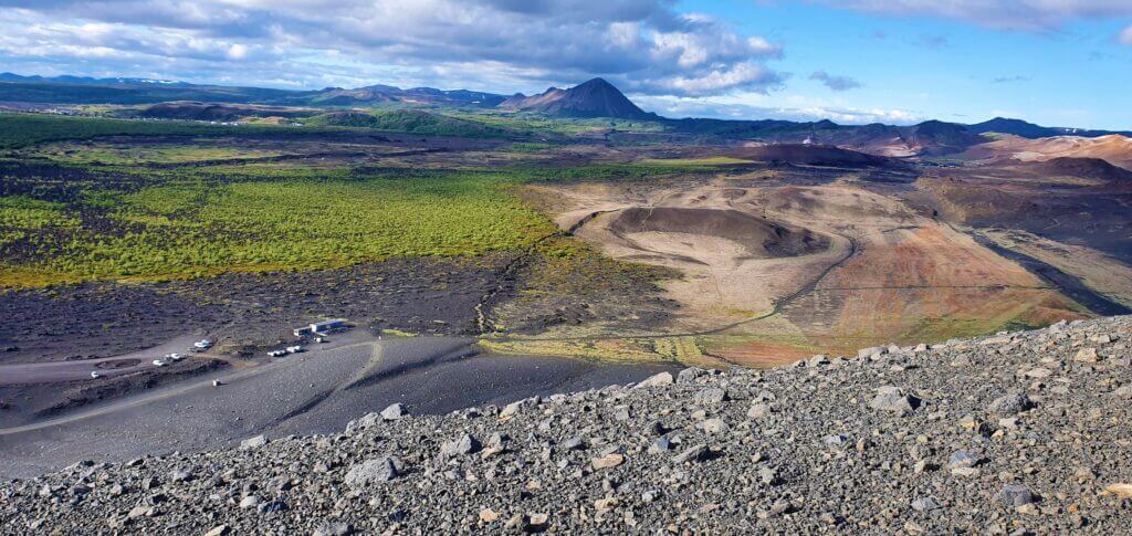
View from the peak of Hverfjall
Goðafoss
18:55-19:20
Distance from car park: 10 minutes
Time spent at: 10-20 minutes
Worth visiting even with bad weather: yes
Physical condition needed: little
Interesting index: 2 – great  (1-amazing, 2-great, 3-nice)
Godafoss before sunset
From Hverfjall we took a route 848 south heading towards Goðafoss. The route is nice and big part of it goes next to the lake Mývatn, where you may make several stops, according to your taste.
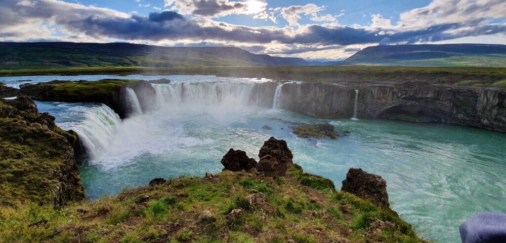
Godafoss is a waterfall on a bucket list of everyone driving the entire ring road. You’ll most likely find it in every Icelandic guide. That means we’re talking about a touristy place again. Reaching Godafoss is easy. You may leave your car at the Fossholl parking lot. From there you take a 10 minutes’ walk either from the south or from the north of the waterfall. We took the southern route and I can recommend it, views from there were very nice.
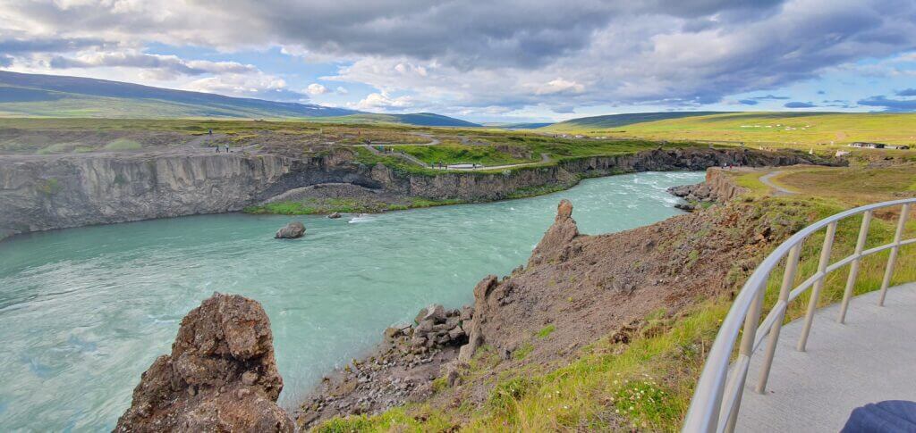
This is a preview of the northern trail (other side of the river) and southern trail (our side) towards Godafoss
We were lucky again to have beautiful sunny weather and arrived at the waterfall around the sunset time. Path to the Godafoss is paved and virtually everyone can make this little walk. Goðafoss is very nice and definitely worth visiting, though not our favourite Icelandic waterfall.
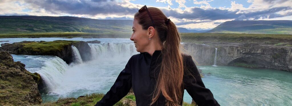
The southern viewpoint of the Godafoss waterfall
From Reykjahlíð to Varmahlíð
19:20-21:10
We were planning to see Kerlingarfjoll on the next day because the weather was supposed to worsen considerably over the following days. So, our mission on this day was to get as close to road F35 as possible. That meant a long drive even after a long and tiring day ending with the visit of Gódafoss. And so, I drove.
Firstly, a short drive on ring-road 1. What followed was a choice between a detour via road 84 or a paid tunnel (continuing on the ring road) towards Akureyri. Price for the tunnel is around 10Eur, which isn’t much. The thing is, you will save only 10 minutes when going through the tunnel and you will miss some nice coastal views of Akureyri fjord, experienced only when driving on the road 84. That’s why we chose a short detour to 84 and I recommend you do the same (unless you have any special passion for tunnels).

We just passed through Akureyri but it seemed to be a very nice town with a unique atmosphere, worth making a stop. Next time.
We continued on a ring road 1 towards Varmahlíð. The road will take you through a mountainous area. We had a chance to experience some genuine Icelandic weather changes at that time. During a 1,5 hour drive, we enjoyed roughly 20 switches of clear sky to heavy rain, then clear sky, then light rain and so on, and so on. And just to encourage you, on a half-way there, there’s a big drift-mark on the road and an old car lying flipped over, completely wrecked, next to the road. So, yes, drive carefully.
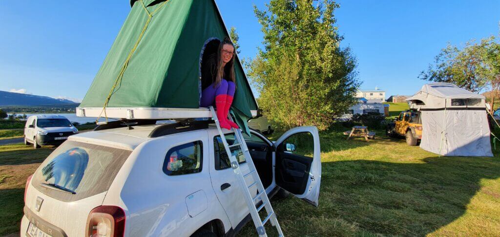
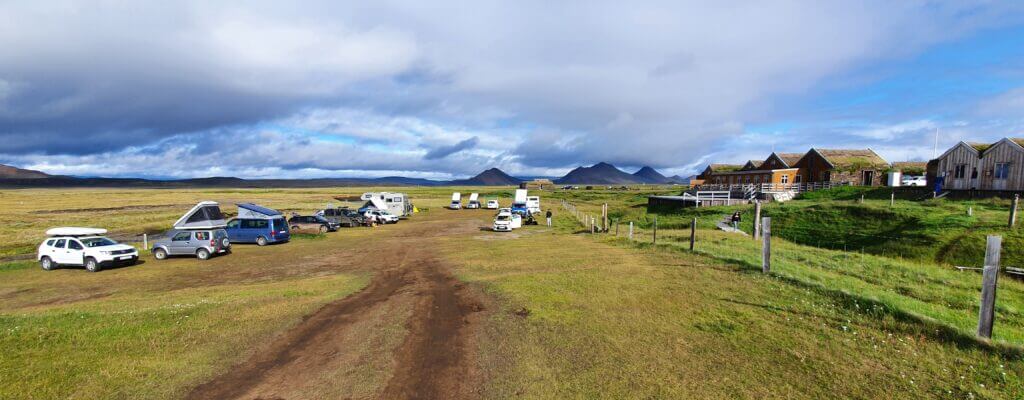
Varmahlíð campsite
21:10-
It was a late evening and we were really tired when we reached the Varmahlíð campsite. Additionally, the campsite decided to close its showers, due to Covid-19. The campsite also apparently didn’t have any kitchen area (or maybe it was just again closed). On top of that, the grass ground of the camp was soaking up with water completely, so with every step, you got quite wet (unless you wore gumboots). And the rain continued to pour and wind to blow. All of these probably contributed to us not liking the campsite much.
Skipped places
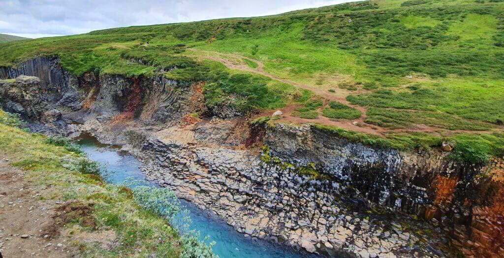
- Hafragilsfoss
- Hljóðaklettar national park
- Jökulsárgljúfur / Vatnajökull National Park with Ásbyrgi canyon
- Grjótagjá cave, Lava field Dimmuborgir
- Mývatn baths
- Húsavík
- Aldeyjarfoss
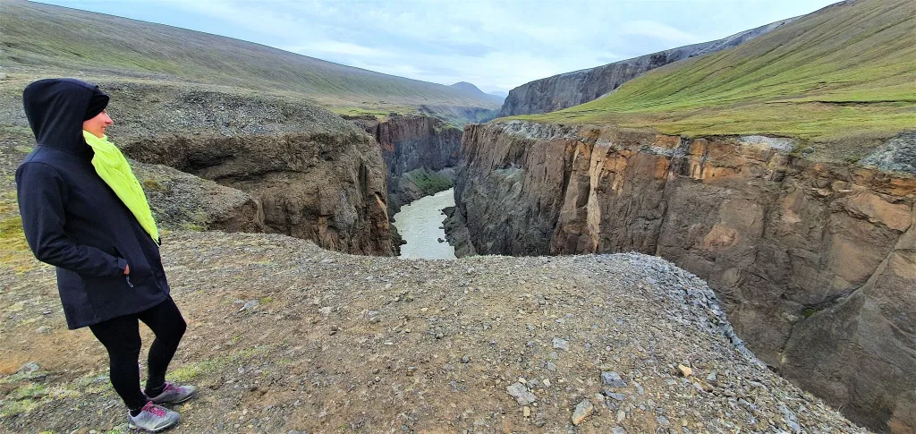
Hafragilsfoss is accessible either by hike from Dettifoss or by drive from Dettifoss as well. We decided not to go for it because it was not supposed to be so beautiful as the other waterfalls on our list.
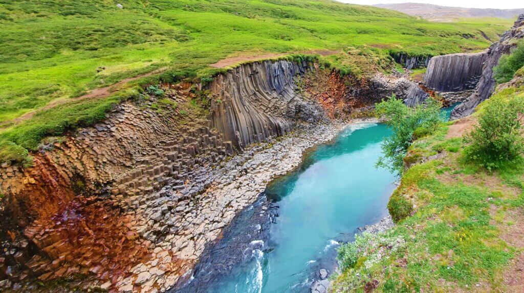
If you are really into hiking, you may also go for two national parks nearby – Hljóðaklettar national park and Jökulsárgljúfur / Vatnajökull National Park with Ásbyrgi canyon. Seeing their real photos, we didn’t find them to be the top Icelandic places to see in 12 days, so we skipped them due to the lack of time. The same we did with Grjótagjá cave and Lava field Dimmuborgir – we have many caves in our homeland and we’d already seen Leirhnjukur lava field.
With regards to Mývatn baths – we preferred a more natural and spontaneous experience of wild natural hot springs, in comparison to a rather touristy Mývatn. I don’t doubt the place is probably very nice though. We thought a while about going to Húsavík to see its famous whale watching tours. We finally decided not to, due to saving the time, money and not being much into organized tours. Covid-19 times even contributed to this preference of ourselves.
What we had originally planned to see was Aldeyjarfoss, because the waterfall made it to my bucket list of the most beautiful Icelandic waterfalls. I also wanted to drive at least a part of infamous F26. Mainly due to the lack of time and prioritization (Kerlingarfjoll the next day, because of good weather), we finally decided to skip the waterfall.