Igor

Igor has spent months exploring every inch of Iceland over several years. He specializes in the Highlands, F-roads, hiking, hot springs, and less touristy places. He loves Iceland and keeps coming back.
Top 10 Easiest F-roads in Iceland

Top 10 Easiest F-roads in Iceland

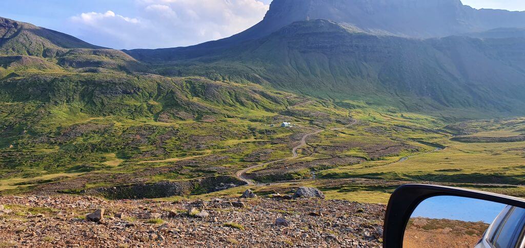
The easiest F-roads in Iceland are those that either don’t contain any river crossings or their terrain is simply easy to drive. Many F-roads often lead to stunningly beautiful landscapes of the Icelandic Highlands. These are one of the most beautiful highland roads in the world and you should definitely visit at least some of them when you are in Iceland during summer!

It’s not easy to find information about what are the F-roads without river crossings and which roads are not steep, narrow, or dangerous in any other way. That’s why we collected all this info for you based on our multi-year driving experience in Iceland.

Below you will find the list of F-roads we consider the easiest to drive and suitable even for those with little 4×4 driving experience. The list is ordered based on the difficulty and starts with the easiest road, based on road conditions and obstacles.

When planning your Icelandic trip, please choose a proper car in advance, based on where you plan to drive. It’s also useful to know how to pick the best Icelandic car rental insurance. Moreover, we collaborate with the best Icelandic companies to offer you car rental and tour discounts and us a small commission at no extra cost to you.

1. (F)35, Across Iceland

f35 kjölur kjalvegur iceland

F35, Kjölur, Kjalvegur

Why is it worth a drive

Firstly, if you want to easily traverse from southern Iceland to the north, Road (F)35, Kjalvegur, or Kjölur (yes, these are all names for the same road) will be your best choice.

Secondly, the two of the most beautiful Highlands areas of Iceland are located right in the middle of (F)35:

Personal Tip: Both Kerlingarfjöll and Hveradalir have become quite popular. If you want to enjoy them alone, arrive either early in the morning or late in the afternoon.

Why is it easy

F35 is the easiest F-road in Iceland and it’s not exactly an F-road anymore. It has been reclassified in recent years to a non-F-road 35. The reason why is, there are no unbridged rivers to cross, and, on top, significant road improvements were made to Kjalvegur.

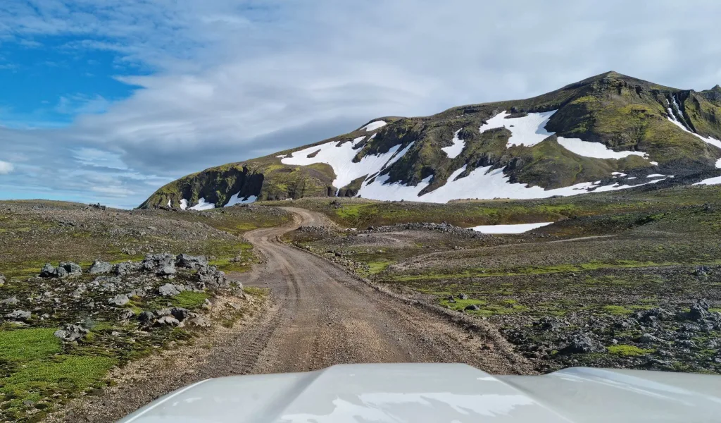
Road 35 is just bumpy with many potholes, but otherwise, it’s completely OK to drive with no difficult parts or steep sections.

When to drive it

Despite being easy to drive, F35 is passable for visitors with rental cars only in summer. Kjalvegur typically opens the first among all F-roads, around the end of May.

It then usually becomes impassable due to snow in early October. Between October and May, only super jeeps are allowed on the road and only at their own risk.

Recommended car

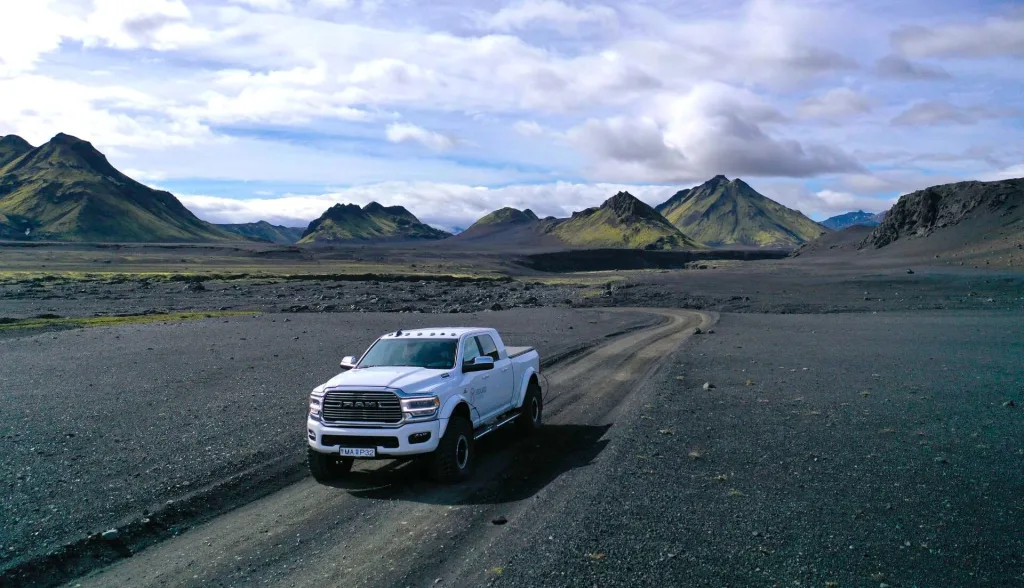
A 4×4 car is NOT compulsory on Kjalvegur. Once the Icelandic Road Administration marks the road open, or passable, you can drive it in any car. It will be a more comfortable drive in a 4wd car with higher ground clearance, though.

2. (F)208 North, Fjallabak

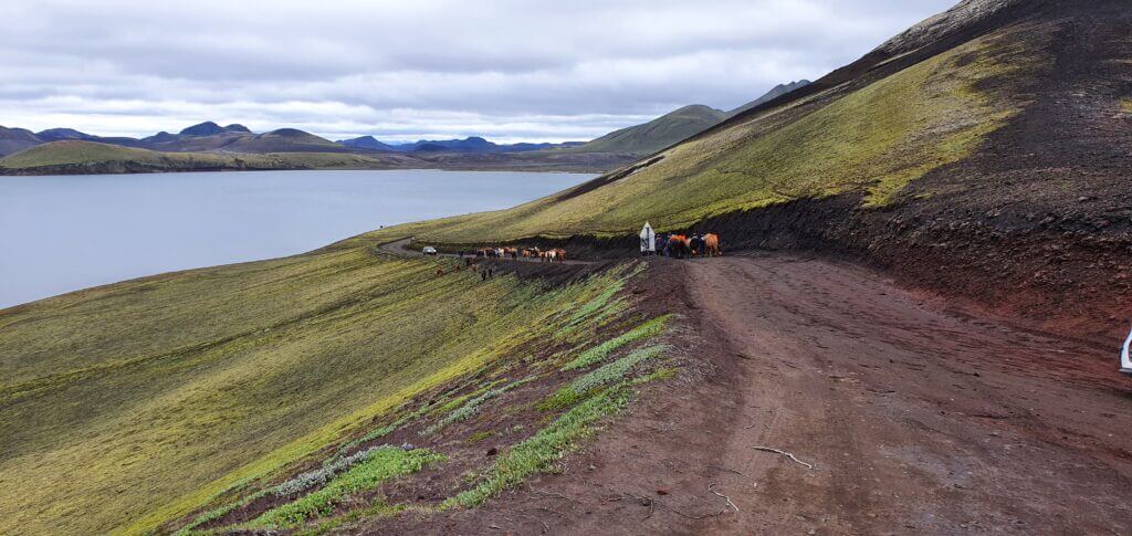
F208 north horses

Horses blocking the F208 road Fjallabaksleið Nyrðri north of Landmannalaugar

Why is it worth a drive

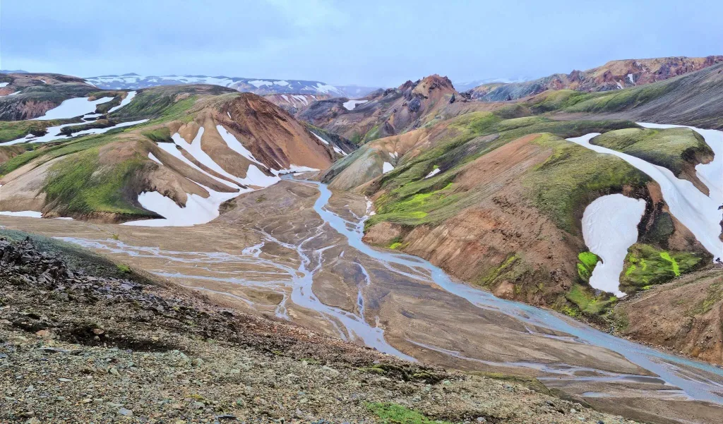
Firstly, F208 North, or Fjallabaksleið Nyrðri in Icelandic, is the easiest road leading to picturesque Landmannalaugar.

Secondly, several otherwordly natural landscapes are situated along northern Fjallabaksleið Nyrðri, such as:

  • Sigöldugljúfur canyon – famous and touristy canyon with waterfalls and crystal blue color
  • Hnausapollur (Bláhylur) crater lake – probably the most photographed crater lake in Iceland
  • Ljótipollur crater lake – one of the most beautifully-colored volcanic lakes in Iceland
  • Frostastaðavatn lake – a huge lake right next to Landmannalaugar
  • Tungnaárfellsfoss waterfall – a glamorously wide waterfall almost nobody visits and nobody knows about
  • Dynkur (Búðarhálsfoss waterfall) – a very remote canyon with a big waterfall. Exercise caution, it’s further away from Road 208 and low-quality dirt tracks lead there.
Personal Tip: Road 208 North is pretty boring as such. Once you gain more experience with Icelandic highland roads, we recommend taking different routes back from Landmannalaugar.

Why is it easy

F208 North is also one of the very easy F-roads. The are no river crossings on northern (F)208. Moreover, the route has been reclassified to non-F-road in recent years due to road improvements. It’s not steep, nor narrow, just bumpy.

When to drive it

F208 North typically opens to visitors with rental cars around mid-June and typically closes near the end of September. This means you can drive with a rental car on F208 only in summer.

Recommended car

A 2wd car is sufficient for the northern part of (F)208 when it’s marked open. Nevertheless, we recommend driving it in a 4wd car with some ground clearance for a more comfortable drive. Such a car is also useful for many connecting roads, such as F225 or southern F208.

3. (F)570, Snæfellsnes

road 570 Snæfellsness iceland

Road 570 Snæfellsness near Snæfellsjökull

Why is it worth a drive

Firstly, there are no special spots or attractions along Road 570, Jökulshálsvegur. But – that does NOT mean the road is not interesting. It’s actually in our opinion one of the most beautiful roads in Iceland. The colorful surroundings of F570 are on their own worth the drive!

Secondly, there’s a plateau roughly in the middle of F570, with stunning views of the southern Snæfellsnes beaches. Definitely go for it on a nice day with clear skies, and enjoy the views!

Personal Tip: Road (F)570 leads to the bottom of the trailhead for Snæfellsjökull - the highest point of the Snæfellsnes peninsula. The hike goes over a glacier with unstable terrain and crevasses, never attempt it alone!

Why is it easy

There are no river crossings on F570, that’s why the road has also been reclassified to non-F-road recently and it’s quite easy to drive. The road is a bit steep, though, so if you are afraid of heights, we do not recommend driving it.

When to drive it

Road 570, Jökulshálsvegur, standardly opens around the beginning of July and closes near the end of September. Always watch out for current road conditions, though. For example, during our drive of (F)570 in July of 2022, the road became passable as late as on 19th of July, due to deep snow still covering the road – see video above.

Even after opening in mid-July, it was passable only for 4×4 cars (despite being non-F-road). Long story short – the bigger 4×4 car is always an advantage and always check road conditions before driving any mountain roads in Iceland!

Recommended car

After a mild winter, you can drive Road 570 in a 2wd car. However, when there’s more snow, Jökulshálsvegur is passable only in a 4wd car. Bear this in mind.

4. F347, Kerlingarfjöll

f347 Kerlingafjallavegur Kerlingarfjöll iceland

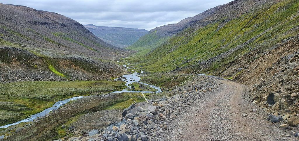
F347 Kerlingafjallavegur leading to Kerlingarfjöll, Hveradalir

Why is it worth a drive

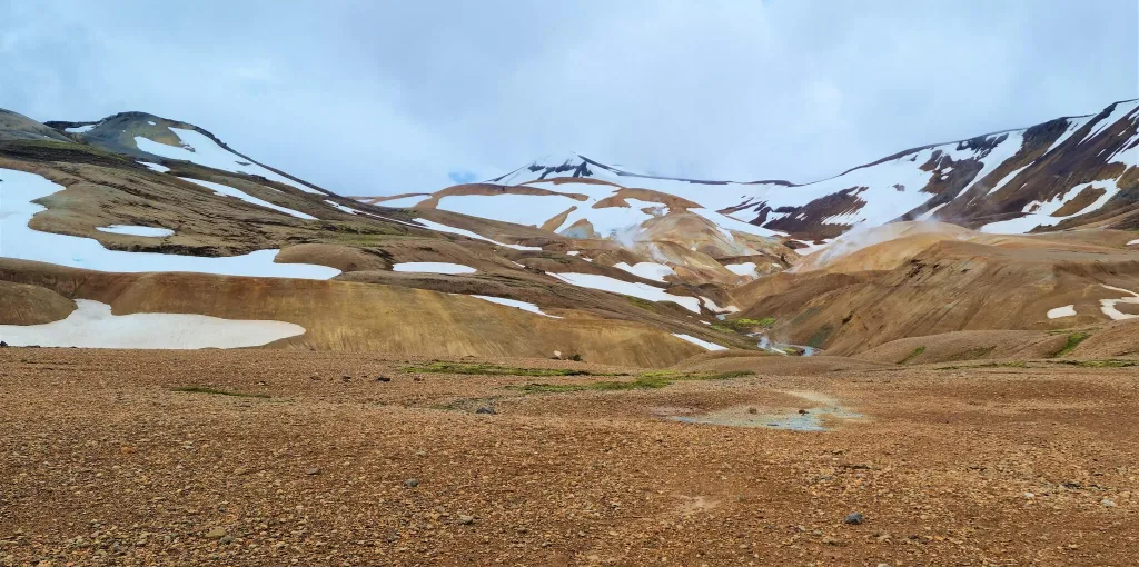
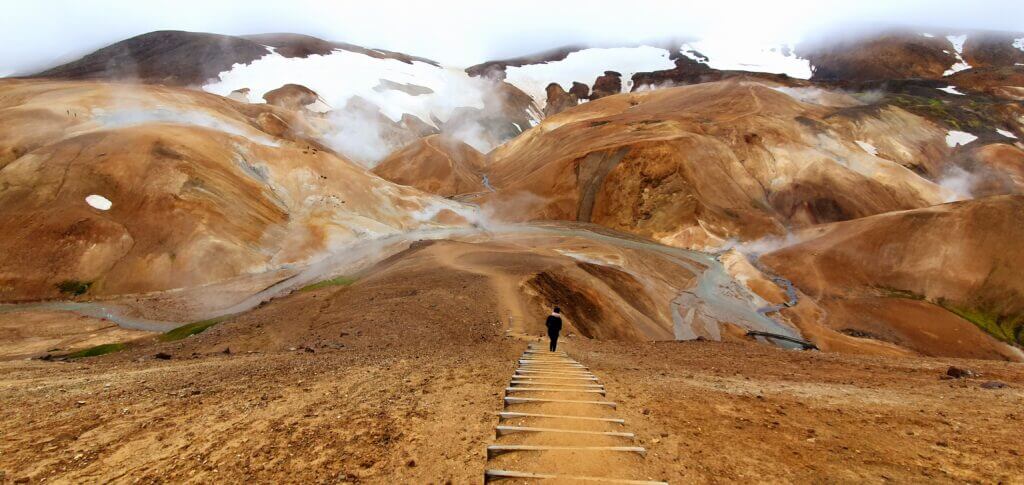
First of all, F347, Kerlingafjallavegur, leads to one of the most spectacular areas of the Icelandic Highlands – the orange mountains of Kerlingarfjöll. That on its own is more than just worth a drive.

Secondly, my insider tip would be – don’t visit just Hveradalir hot springs area in Kerlingarfjöll! Almost everybody heads only to Hveradalir. And that’s a pity. There are many other amazing spots in Kerlingarfjöll and along F347:

  • Snækollur hike – the highest peak of Kerlingarfjöll with by far the best views
  • Kerlingarfjöll hot spring – a natural hot spring located in a picturesque canyon
  • Horseshoe Bend – one of the favorite spots for photographers
  • Hveradalir hot springs – the main and most popular hot spring area in Kerlingarfjöll
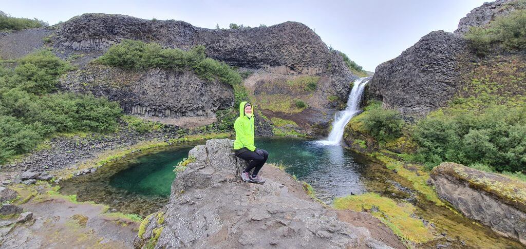
  • Gýgjarfoss waterfall – a cute little waterfall right along F347
  • Kerlingarfjöll mountain resort – a brand-new luxury mountain resort
  • Hveravellir hot springs – another great hot spring area; one-hour drive from F347
Personal Tip: Kerlingarfjöll is located in a special glacier microclimate. This unfortunately means, it's almost always foggy, cloudy and/or rainy. If you are flexible, be patient and try to find a day with clear skies to visit it. Trust me, it will be worth it!

Why is it easy

F347 is the easiest F-road in Iceland that is still officially being marked as an F-road. There are no river crossings on Kerlingafjallavegur nor on the connecting road (F)35. The road will most likely be reclassified to non-F-road soon, more so thanks to the new Kerlingarfjöll mountain resort.

The only difficult part of road F347 is the last section between the mountain resort and the Hveradalir hot springs area, which is a bit steep.

When to drive it

F347 typically opens once all the snow from the road melts. Given the proximity of the glacier, this usually happens around the beginning of July. However, due to a new mountain resort, it’s reasonable to expect the road will be much better maintained in the future and will open even sooner, around May or June.

As of now, F347 typically becomes impassable around mid-to-end September. We again expect this to be prolonged due to the resort, to sometime around October or November. F347 may in the future even be the only road in the highlands accessible also in winter. Watch out for the latest road developments on Icelandic Road Administration website.

Recommended car

F347 can easily be driven in any 4wd car. It is still compulsory to drive a 4×4 car on the road because it’s still marked as an F-road. This may change in the upcoming months/years, though.

5. F575, Snæfellsnes

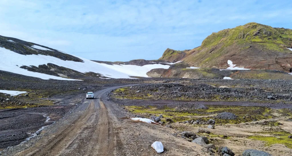
F575 Eysteinsdalsleid iceland

F575 Eysteinsdalsleið, Snæfellsnes in mid-July

Why is it worth a drive

To begin with, the drive around F575 is full of lush green hills, valleys, and snowfields making it a beautiful colorful mountain drive a very few visitors take. F575, Eysteinsdalsleið, is a mountainous F-road in Snæfellsnes that leads up to Snæfellsjökull glacier. It connects the western Snæfellsnes coast with road (F)570.

Furthermore, there are several lesser-known places to see in Snæfellsnes around the road F575, for example:

  • Rauðhóll crater hike – very little visited crater, close to the road
  • Eyvindarhola Lava Cave – an old cave with old bones
  • Klukkufoss waterfall – hidden waterfall; requires hiking
  • Snekkjufoss waterfall – another hidden waterfall that you need to hike to
  • Scenic views from above – views from F575 on a clear day are simple breath-taking
Personal Tip: The drive on F575 takes only around 30 minutes. However, if you want to fully explore the entire area around, you will need around 5-6 hours for it. Plan accordingly.

Why is it easy

F575 doesn’t have any river crossings or any dangerous parts. It’s just a mountainous road where you will be driving up the hill for the entire time when coming from the west coast.

Eysteinsdalsleið may easily be reclassified in upcoming years to a non-F-road. I believe the only reason why it has not happened yet are some steep sections, remoteness of the road, and snow staying on the road often longer.

When to drive it

F575 becomes usually passable around the beginning of July and becomes again impassable around the end of September. This varies depending on the strength of the preceding winter and the quickness of the arrival of an upcoming winter.

In years of a soft winter, the road may open as soon as mid-June, and in years with harder winters (for example 2022) it opens as late as mid-July.

Recommended car

You can drive F575 in any 4wd car. A 4×4 car is compulsory on the road because it’s an F-road. Bear in mind the road has some steep sections and you will definitely feel safer driving a bigger 4wd car, though.

6. F225, Landmannalaugar

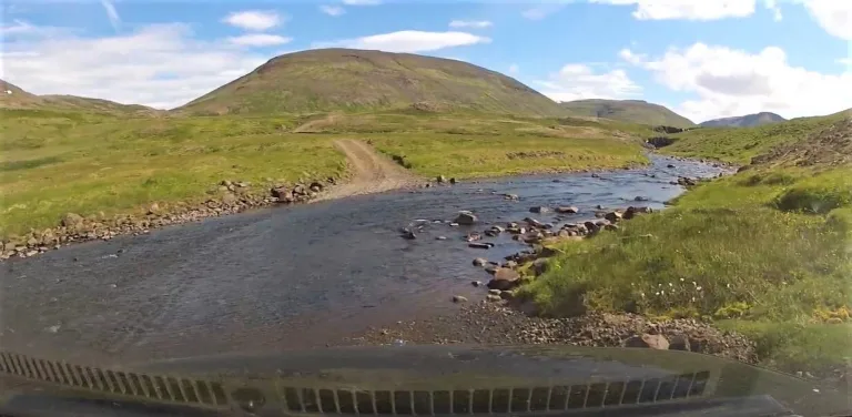
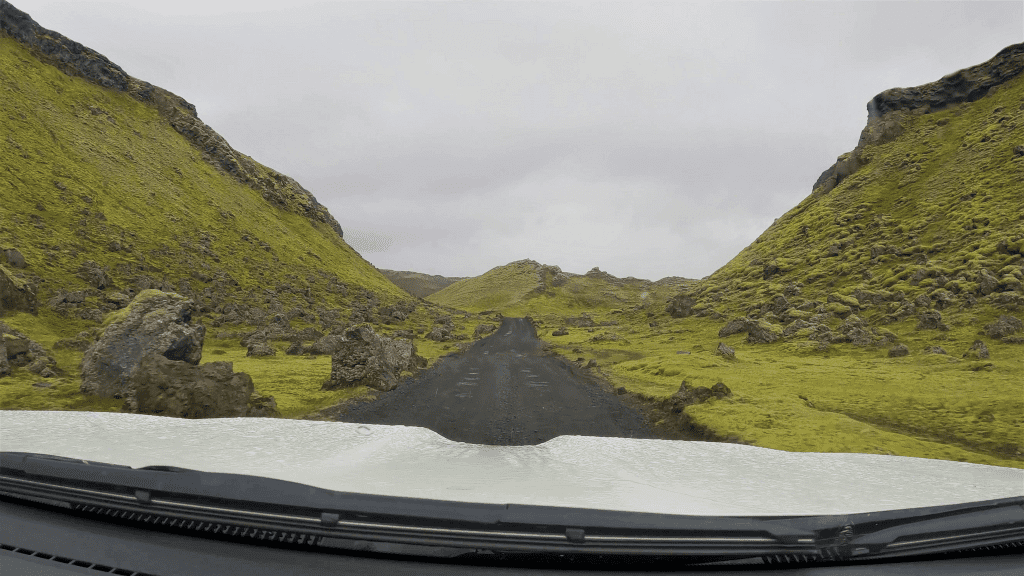
f225 landmannaleid in rain

F225 Landmannaleið in rain

Why is it worth a drive

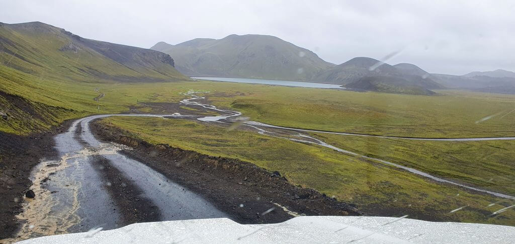
F225, Landmannaleið, is the second easiest road leading to Landmannalaugar. We believe this is the best road to Landmannalaugar for first-time visitors. Why? F225 has amazingly beautiful surroundings and it’s easy to drive. It’s much much more beautiful than very often used northern road (F)208. Although there’s one river crossing, it’s an easy one, which we believe everyone can make when following river crossing rules.

Furthermore, there are many amazing hidden places around F225:

  • Rauðaskál crater – incredible volcanic crater where you either need to hike from below, or drive with a super jeep from above
  • Hekla volcano – famous volcano where you may hike in summer when weather conditions are good; the road leading to the hike is very difficult, though, and requires a super jeep
  • Raudufossar waterfall – one of the most incredible orange waterfalls in Iceland; you need to hike there
  • Raudufossafjol waterfall hike – the extension of the Raudufossar waterfall hike to the source of its orange water
  • Landmannahellir hiking area – a campsite in the middle of a hiking area
  • Domadalur ravine – scenic road in between volcanic hills full of black ash
  • Frostastaðavatn lake – one of the biggest lakes in Landmannalaugar with beautiful surroundings
Personal Tip: If you are unsure about the river crossings in Iceland and you want to practice somewhere first, F225 is a very good road for it. There are only small and easy river crossings on the road.

Why is it easy

There are no dangerous or steep sections on F225 and only small river crossings and ponds. It’s a good F-roads for practicing for any first-time visitors with some 4wd driving experience. There’s also usually good network coverage and a lot of traffic in the summer.

When to drive it

F225 typically opens among the first F-roads, around mid-June. This can move for about 2 weeks sooner or later based on the preceding winter intensity. Landmannaleið then typically becomes impassable around the end of September or the beginning of October.

Recommended car

A 4wd car is necessary for F225. Basically, any 4×4 car would be sufficient because this is an easy F-road. Bear in mind, though, that if you want to drive via some of the difficult detours from F225 like the Krakatindur dirt track, up above Rauðaskál crater, or towards Hekla, you will need at least a large 4×4 car, ideally a super jeep.

7. F235, Langisjór

F235 to Langisjor

Out-of-this-world landscapes surrounding the F235 road toward Langisjór Lake

Why is it worth a drive

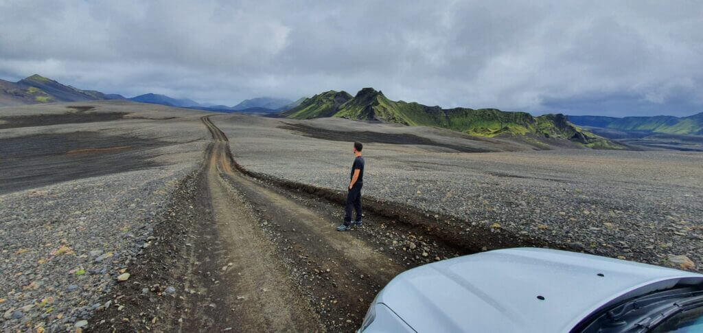
Despite being located deep in the Icelandic Highlands, road F235 surprisingly belongs to one of the easiest F-roads in Iceland. At the same time is one of the most astonishing roads in Iceland at all. Out-of-this-world lunar landscapes surround F235 to Langisjór from the start until the end. And once you finish, a beautiful reward will be waiting for you – an unbelievably clear Langisjór lake.

Although the surreal landscapes encompassing F235 would be strong enough a reason to drive the road, there’s more to see around:

  • Sveinstindur hike – one of the most spectacular hidden Icelandic hikes
  • Blue River Valley viewpointviewpoint of a beautiful crystal blue river valley
  • Difficult dirt tracks – there are many fascinating connecting tracks for experienced drivers with large cars and super jeeps
  • Lake Langisjór – huge and amazingly clear and tranquil lake; you can hike around it for days
  • Eldgjá hiking area – a nice hiking area in the valley next to F235
Personal Tip: F235 should not be your first 4x4 experience. The road is easy to drive, but it's very remote and you need to cross one medium-sized river on F208 to reach F235.

Why is it easy

There are only small river crossings and ponds on F235 leading to Langisjór. Other than these there are no difficult parts and the road is easy to drive, almost like a highlands highway.

There’s one catch, though. To get to F235 you need to arrive by F208 either from the north or from the south. Both of these routes contain medium-sized river crossings. The northern route has several ones and the southern route has just one medium river crossing. When you rent at least a medium-sized SUV and follow the river crossing rules this should not be a problem, though.

When to drive it

F235 usually becomes passable and snow-free at the beginning of July. Some years this may happen a few weeks earlier and in some years a few weeks later. By mid-July the road should almost always be open to visitors. F235 then usually becomes impassable around the end of September.

Recommended car

To drive F235 we recommend at least a medium-sized 4×4 car. As we mention above, F235 as such is quite easy and would require only a small 4wd car. However, connecting southern F208 is harder and you definitely need a medium 4wd car such as Dacia Duster at minimum to pass safely under most of the weather and river conditions.

8. F586, Haukadalsskarðsvegur

road 586 Haukadalsskarðsvegur iceland

Road F586 Haukadalsskarðsvegur

Why is it worth a drive

F586 is an easy F-road with a little bit of everything and well suitable as an F-road driving practice for beginners. Haukadalsskarðsvegur will serve you shallow river crossings, exhilarating inclines, and just enough potholes and rugged patches to keep your heart racing. But don’t worry – this road never gets too wild or intimidating.

What sets the F586 apart, though, is the refreshingly green landscapes that surround you as you journey onwards. To add to the magic, there’s a little canyon nestled right beside the road on its eastern side, just waiting to be explored.

Personal Tip: If you're ready to take on the Icelandic F-roads but want to start with a gentle yet unforgettable adventure, the F586 is your go-to destination.

Why is it easy

There are only small river crossings on F586 and all the inclines and declines are moderate and bearable. The road is also located near the main roads and is short in distance.

When to drive it

F586 typically becomes passable for visitors in the second half of May and usually closes in the first half of October.

Recommended car

You can drive F586 in any 4wd car, which is, however, compulsory for the road. For peace of mind, we suggest driving Haukadalsskarðsvegur in a medium-sized SUV.

9. F821, Eyjafjarðarleið

F821 Eyjafjardarleid iceland

F821 Eyjafjardarleid

Why is it worth a drive

F821 is a scenic mountainous drive through a valley full of small river streams and moss around every corner. Besides the gorgeous drive, F821 also leads to Laugafell – one of the most secluded hot springs and campsites in Iceland. Laugafell is a peaceful oasis of remoteness in the middle of nowhere, and if you haven’t visited it yet, you should!

Highlights of F821:

  • Laugafell hot spring – well-maintained remote Highland hot spring with a campsite
  • Eyjafjardara Valley – one of the best roadside viewpoints in northern Iceland
  • Green summer scenery – horses, farms, rivers, hills
Personal Tip: You will get the best views over the Eyjafjardara Valley if you arrive from the south and descend towards Akureyri. This is also the easier way to drive Eyjafjarðarleið because you don't have to take steep ascents. You need to drive the northern part of F26 first and then continue via F881. These road sections should normally be doable with only small rivers to cross.

Why is it easy

There are only small rivers and streams on F821, so river crossings are not an issue. The only potentially problematic aspect of the road is its inclination and rough terrain. This is not a road for someone trying to learn how to drive a 4×4 car, but it’s definitely one of the easier F-roads.

When to drive it

F821 is one of the latest roads to open in summer. The median opening date happens to be around mid-July, and definitely don’t expect to drive the road sooner than in July. Eyjafjarðarleið then typically closes around the end of September.

Recommended car

A 4wd is compulsory on F821, the same as it is for any F-road. More experienced drivers should be able to drive the road in any 4wd car. That being said we better recommend taking at least a medium-sized 4×4 car for the road, to not risk damaging your car on rough and steep terrain.

10. F936, Eastfjords

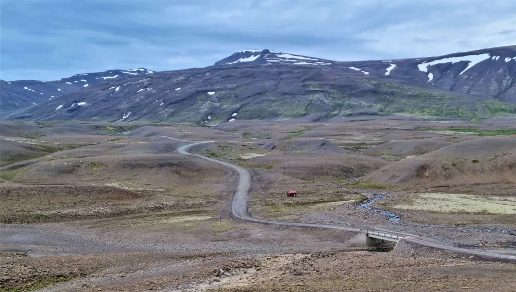
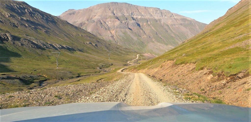
f936 thordalsheidarvegur iceland

F936 (or 936 already) – Thordalsheidarvegur

Why is it worth a drive

F936 is kind of an outsider road because we have never noticed anybody talking or writing about it. I stumbled upon Þórdalsheiðarvegur just by looking at the map trying to find the roads I haven’t driven yet 🙂 Well, and it was worth a drive.

Although there are no special attractions along (F)936, the road itself is an attraction. Zig-zagged drive through huge Eastfjords valleys with no cars anywhere nearby made road 936 a little hidden road gem for us.

Personal Tip: Road 936 leads along the power lines. These go from Kárahnjúkar dam to Alcoa Fjardáal aluminum smelting company that consumes five times more power per day than the capital city Reykjavik. And this road is basically just a service road for them.

Why is it easy

F936 is not for the faint-hearted due to some pretty steep sections, however, these should be bearable for anyone with a 4×4 driving experience. There are also no rivers to cross on the road.

It is actually unclear whether the road is still an F-road (that’s why we wrote (F)936 at some points). On Icelandic Maps it’s just 936, but in front of the road there’s still a sign with “F936”.

When to drive it

(F)936 typically opens near the end of June and typically becomes impassable at the beginning of October.

Recommended car

While any 4wd should officially be feasible for the road (according to Icelandic Maps even a 2wd car), the bigger the car the better – at least for the steepest sections. Definitely take a 4wd car. We drove F936 in a Land Cruiser and it felt just right at the most difficult spots.

List of F-roads with NO river crossings

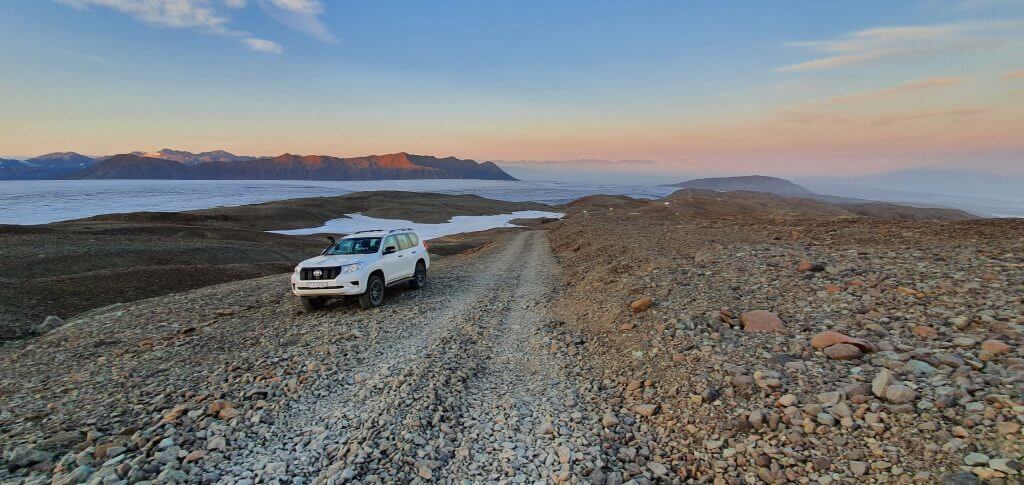
f985 jokulvegur iceland glacier

Amazingly beautiful sunset at the peak of F985, Jökulvegur, next to the Skalafellsjökull glacier

Here is a list of F-roads without any river crossings:

  • (F)35, Kjalvegur
  • (F)208 north, Fjallabaksleið Nyrðri
  • (F)570, Jökulshálsvegur
  • F347, Kerlingafjallavegur
  • F575, Eysteinsdalsleið
  • (F)936, Þórdalsheiðarvegur
  • F985, Jökulvegur – very steep and narrow road leading to glacier
  • F959, Viðfjarðarvegur – very steep and narrow road leading to the fjord
  • F881, Dragaleið – easy road to drive, but a bit boring, and connecting roads have rivers to cross
  • (F)508, Skorradalsvegur – nothing special about the road
  • F333, Haukadalsvegur – a bit boring to feature
  • F337, Hlöðuvallavegur – same as above
  • F223, Eldgjárvegur – nice road to Eldgjá, but all connecting roads have river crossings, similar to F235
  • F894, Öskjuvatnsvegur – a crazy, bumpy road to Askja; all connecting roads contain medium-sized river crossings
  • F946, Loðmundarfjarðarvegur – steep mountainous road, not exactly an easy one
F946 Loðmundarfjarðarvegur Borgarfjörður Eystri

F946 Loðmundarfjarðarvegur Borgarfjörður Eystri

And here is the list of F-roads with only small river crossings:

  • F225, Landmannaleið
  • F235, Langisjór
  • F586, Haukadalsskarðsvegur
  • F821, Eyjafjarðarleið
  • F66, Kollafjarðarheiði – a steep mountain pass connecting northern and southern Westfjords
F223 Eldgjárvegur iceland

F223 Eldgjárvegur

Weather, Safety, and Driving Advice

epic iceland facebook group ask questions or get inspired in our community

Posted by Igor in Roads, Top Places, 10 comments
Grænihryggur hike: Guide to the hidden Green Ridge

Grænihryggur hike: Guide to the hidden Green Ridge

Graenihryggur hike is one of the most beautiful hikes in Landmannalaugar with stunning views full of spectacular colors. Grænihryggur is also one of Iceland’s best-kept secrets with almost no visitors even during the peak season! It’s a longer and more difficult hike but well worth the effort, making it a once-in-a-lifetime hiking experience.

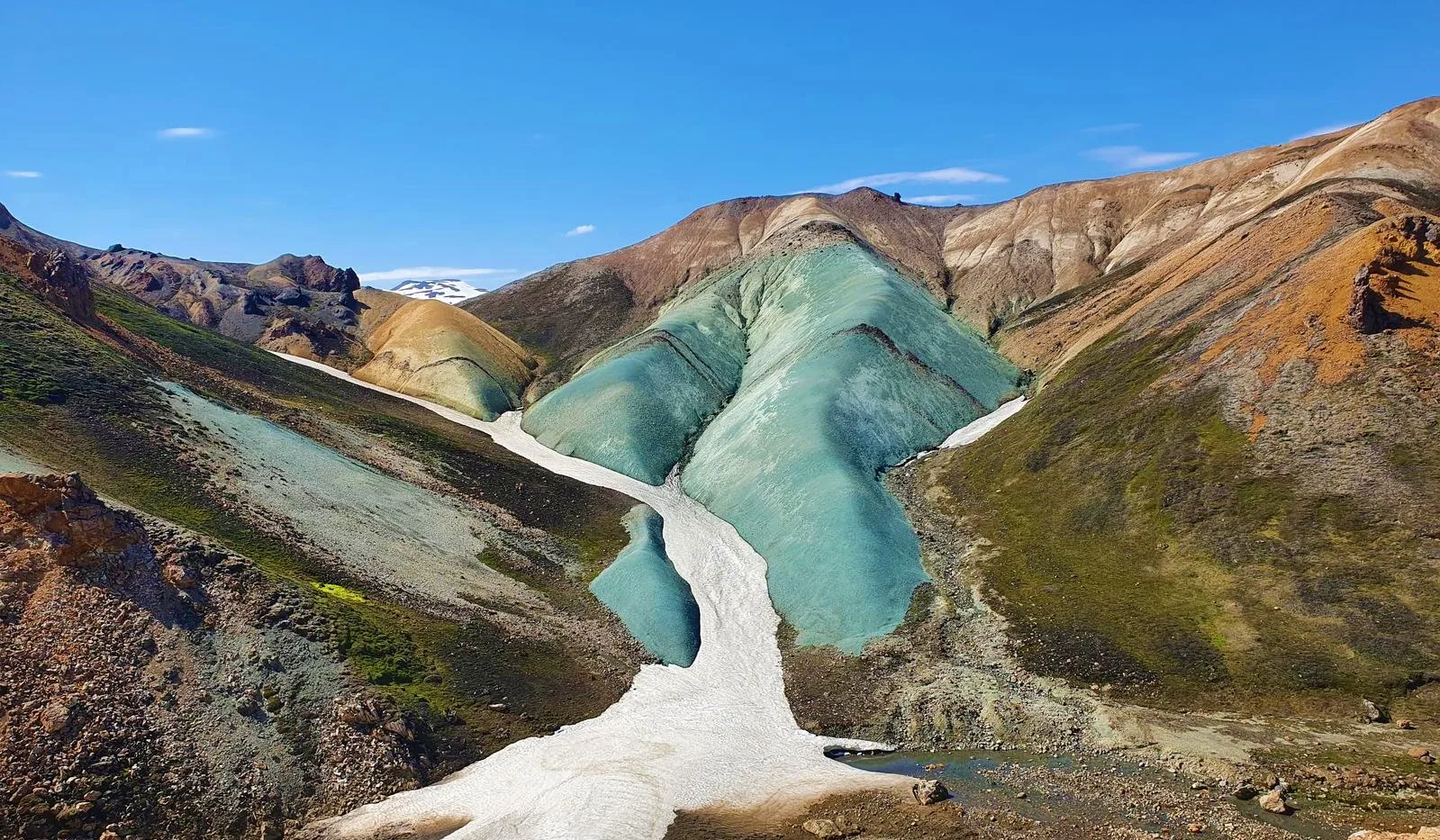
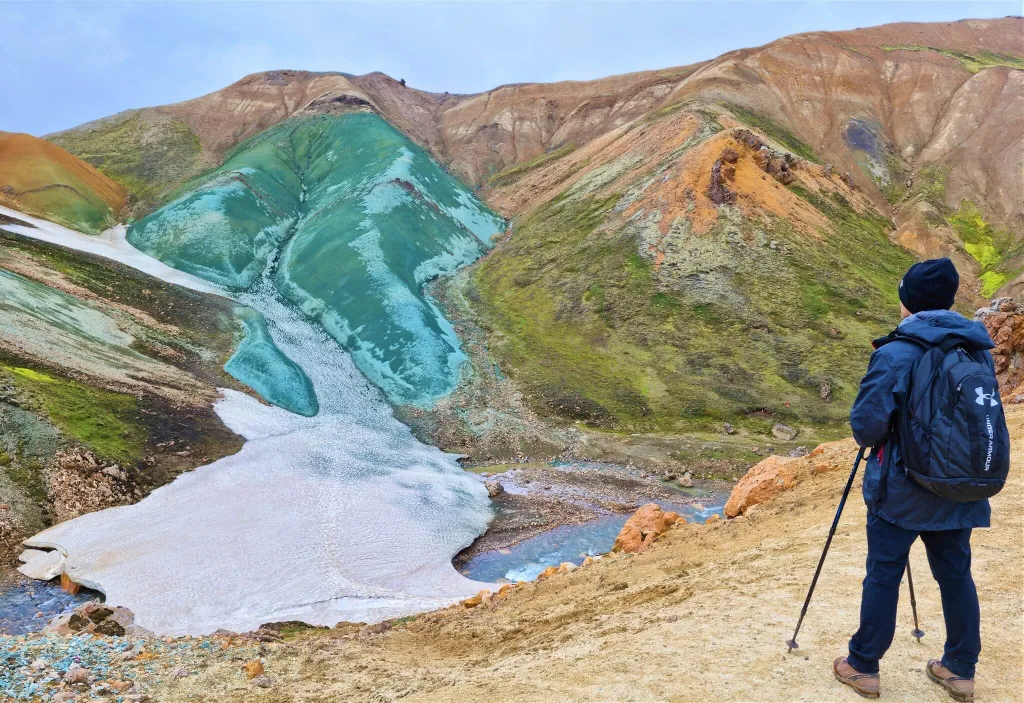
So what is Graenihryggur? The literal translation would be a „green ridge“. And this is precisely what makes Grænihryggur special. Out-of-this-world blue-greenish color. It’s a ridge well hidden deep in the Landmannalaugar mountains. It can’t be seen from typical touristy hikes in Landmannalaugar, like Bláhnúkur or Brennisteinsalda.

Icelandic locals know well about Grænihryggur and they are usually the only visitors you will meet on a trail. Besides locals, guided tours also head to Graenihryggur, because this is one of those places in Iceland that can still be considered a true „hidden gem“.

Hike in a nutshell

Graenihryggur hike is an 8km long out-and-back hike that takes about 8 hours to complete. It is moderately difficult with some steeper and slippery parts and is accessible only in summer. It is one of the most beautiful hikes in Iceland, still not known to many visitors.

Location: 7km south of Landmannalaugar campsite detour
Length: 8km (5mi) one way, 4 hours one way
Difficulty: moderate to difficult
Season: typically from July to September
Gear: hiking shoes, hiking poles, rain-proof, and wind-proof clothes
Hiking trail: coordinates of the hiking trail

How to get to the Graenihryggur hike

Graenihryggur is located in Landmannalaugar, close to the campsite. There are several different ways to reach Graenihryggur hiking trails and none of them is trivial. Firstly, you need to reach the famous Landmannalaugar area. For that, you have the 3 options below.

f208 landmannalaugar iceland

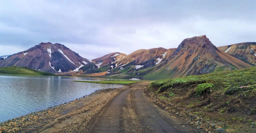
Amazingly beautiful roads around Landmannalaugar

Getting to Landmannalaugar

You can get to Landmannalaugar via three different roads:

We explained in detail the differences between these three roads in our Guide to Landmannalaugar. You need to have a 4wd car when heading to Icelandic Highlands and Landmannalaugar. A medium-sized 4×4 car is the best for this type of trip.

Getting to Grænihryggur trailhead

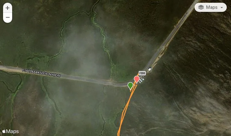
There are two main trailheads leading to Graenihryggur from Landmannalaugar. The first, shortest, and most popular trailhead is located right next to road F208, close to Landmannalaugar campsite, 8 kilometers (5 miles) south of road F224. It is depicted on the map above and also zoomed in the picture below.

Grænihryggur trailhead map

Grænihryggur trailhead map. Source: Wikiloc

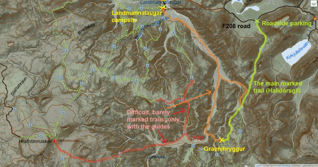
The second trailhead is located at the Landmannalaugar campsite itself, where all famous Landmannalaugar hikes start. For our hike, we chose the first option – the so-called Halldórsgil trail. Halldórsgil is the most popular and also the shortest and safest trail leading to Grænihryggur. It leads via Halldórsgil canyon. The other trails are difficult, dangerous, and barely marked, see below.

Grænihryggur hiking trails

Graenihryggur is located in the heart of Landmannalaugar, between Brennisteinsalda campsite and Hrafntinnusker hut. This means you can get to Graenihryggur by many different trails, none of them being short, nor easy, though. Several of these trails are not even marked, that’s why many choose a guided tour instead of a self-hike.

Map of the Grænihryggur hiking trails:

graenihryggur hiking trails map

Map of the Grænihryggur hiking trails

There are three known hiking trails to Grænihryggur:

  1. The main Halldórsgil trail. It starts as a hike through the canyon of Halldórsgil. Halldórsgil trail is a well-marked trail (red sticks). This is the shortest, easiest, and also most popular trail. The only disadvantage of the Halldórsgil trail is that it’s an out-and-back trail. Landscapes around the trail are more than just amazing. We took this trail and describe it in detail below. It took us roughly 6 hours to complete a round-trip.
  2. The Landmannalaugar trail. The second, significantly longer, more difficult, and unmarked trail is a loop trail from Halldórsgil, via Grænihryggur to Landmannalaugar campsite and back (or the other way around). After reaching Graenihryggur you have to climb up and down several steep and unmarked ridges and also ford the fast-flowing and wide Jökulgilskvísl river. We highly recommend doing this hike only as a guided tour, or only if you are a very experienced hiker and you are in luck with a great weather forecast (no fog, rain, or strong winds). The Graenihryggur Landmannalaugar loop takes about 10-12 hours to complete.
  3. The Hrafntinnusker trail. Apart from the two main Grænihryggur trails mentioned above, you may also hike to Graenihryggur by several different combinations of various trails in the area. Most of them are longer and more difficult than those we mentioned above. Hikers usually hike them as a part of multi-day Landmannalaugar hikes. In addition, the majority of them are unmarked.

Map of the Graenihryggur hike

Below is the detailed map of the main Grænihryggur hike, the Halldórsgil hike. There are the exact coordinates of the hike as we’ve done it in late July. All necessary info such as altitude, hiking times, and the trail we took are included in the interactive map below:

Powered by Wikiloc

Hiking difficulty

  • The hike is considered to be a moderately difficult hike.
  • The main danger of the hike lies in unpredictable weather, a very remote area with no network coverage and slippery trails
  • It is a full-day hike, it takes 7 to 9 hours to complete it as a round trip.
  • There are no chains, nor very exposed parts, yet some of them are steep
  • Many steeper parts are made of small gravel or dirt and the grip is not the best, especially if it rains
  • There is one river crossing, a wide Jökulgilskvísl river, not very deep; it is possible to cross it on dry feet in dry weather, however, you may need to wade it when there’s more water in the river;
  • It’s a great hike for anyone with hiking experience, even for families experienced in hiking;
  • It’s NOT a hike for the elderly or small children, or anyone used to just hiking for 1 hour and no more
  • Take special care early in the season (June/July), there may be snow bridges with dangerous rivers under them!
landmannalaugar Grænihryggur hike iceland

Unbelievable Grænihryggur hike views

When to hike Graenihryggur

Typically, you can go for the hike any time between the beginning of July and mid-September. Similarly to when F-roads are open, the hike is accessible when there’s no considerable snow on the trails. This usually starts in July, once most of the winter snow has melted, and ends at the end of September when the new snow arrives.

Of course, there are exceptions to the general rules mentioned above. After mild winters, you may be able to hike Graenihryggur even in June and maybe even until October. On the other hand, after very tough winters, you may encounter huge amounts of snow on trails even in July or August. This is exactly what happened to us in late July. The amount of snow was bearable, though, so we could just hike over it and not get stuck in it.

If you are unsure about the current conditions of the trails, it’s always best to contact SafeTravel.is by email, or to ask a local. One last important thing – even in summer, always check the weather forecast before the hike. Don’t hike during strong rain or strong wind, it can be very dangerous. Skies don’t have to be clear, but at least aim for no heavy rain or wind. We also wrote a handy guide on How to find nice weather in Iceland.

Grænihryggur hiking trail iceland

Grænihryggur hiking trail

How to prepare for the hike

  • Wear proper hiking shoes, wind-proof, and water-proof clothes (not just repellent!)
  • Have a winter hat and gloves ready if it’s too chilly
  • Hiking poles are a big plus, although it’s possible to hike also without them (not recommended)
  • Check the local weather forecast, and read tricks on how to manage weather; Go only if it doesn’t rain or blow too much; Ideally no rain at all
  • Check road conditions; you are looking for the green color
  • Better rent a satellite location device if you are not in a big group or not with a local
  • Bring wading shoes and a little towel for river crossing
  • Crampons are not necessary during the main season (July to September) and they won’t help either outside of the season (just don’t go)
graenihryggur hike view

One of the countless picturesque spots during the hike

The main hike – our experience

We drove by the Graenihryggur Halldórsgil trailhead on a cloudy, rainy, and foggy day. Definitely not an ideal day for a hike. We were indecisive about whether to go for the hike or not until the very last minute. Finally, my cousin co-hiker persuaded me to give it a try. And I’m now glad he did because the weather actually improved and the hike was amazing even without sun and clear skies!

We reached the starting point of the trail by our modified Land Cruiser around lunchtime, so pretty late. That was also the reason why we didn’t speculate with longer, unmarked trails, and rather stuck to the classic marked Grænihryggur trail from Halldórsgil canyon. The Halldórsgil trailhead is located just a few minutes of a drive south from the crossroads of F224 and F208.

There’s no car park, but we recognized the trailhead thanks to around 6 local Icelandic cars being parked at the edge of the road. These were apparently no tourists, but locals. We parked our car as the last one in the row, packed our backpacks, and headed out into moody weather.

graenihryggur trailhead

Graenihryggur hike trailhead -the beginning of the hike via Halldórsgil

Halldórsgil canyon trail

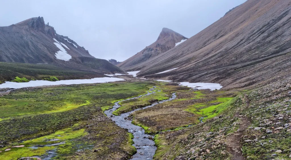
The first part of the trail to Graenihryggur is the easiest and also the most boring part of the hike. It leads via Halldórsgil canyon, which is one of the less magnificent Icelandic canyons, yet definitely a peaceful one. You won’t meet many fellow tourists here, as I already mentioned.

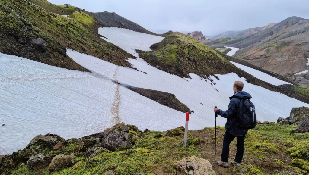
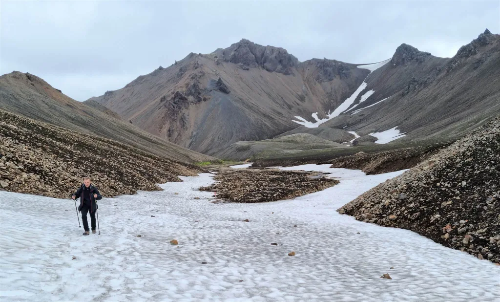
We hiked to Grænihryggur in July, in a year of a very strong Icelandic winter. This means we encountered a lot of snow on the trail, even in the second half of July. Soon into the hike, we reached smaller snowfields that got bigger and bigger the further we proceeded with the hike. Some of these snowfields were a bit scary. At one moment we could see a flowing river right under the melting snowfield and we had to walk through this snowfield, hoping not to fall down through it.

Halldórsgil canyon trail Grænihryggur

Snowfields in July on the Halldórsgil canyon trail to Grænihryggur

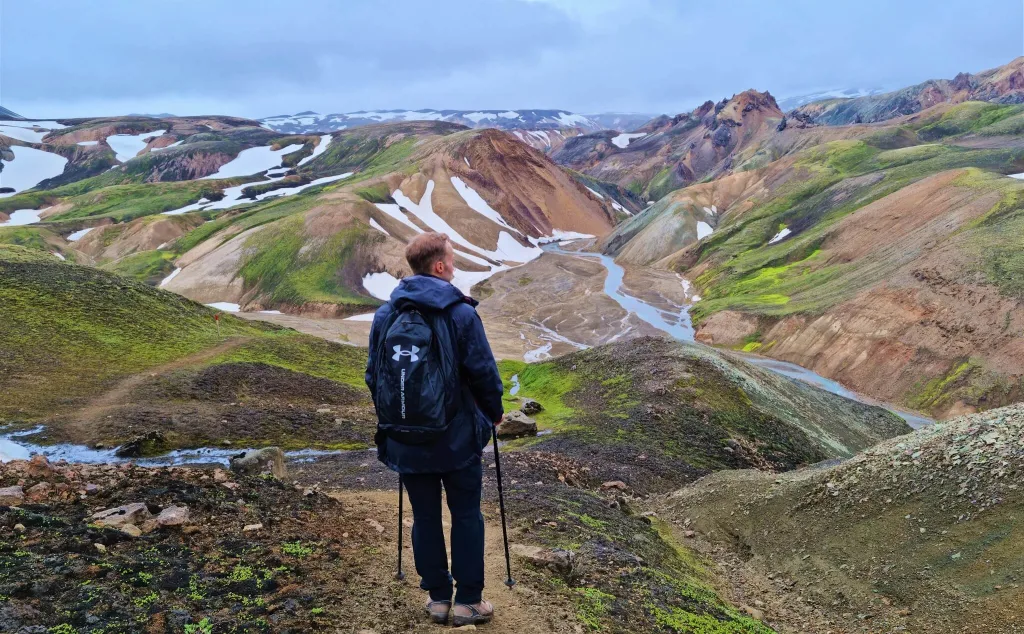
The ascent was gradual and there were no technical parts in this section of the hike. There was just a lot of walking in the snow, which is naturally more tiring compared to firm terrain. After about an hour of hiking, we stumbled upon the first of many amazing viewpoints. We finally got high enough to be able to observe the monumental Halldórsgil valley from the bird’s eye viewpoint. This is the typical Grænihryggur hike moment – Landmannnalaugar, but different, more remote, and even more magical, everywhere around you.

Crossing Jökulgilskvísl river

After reaching the highest point of the trail, what follows is at times steep and slippery descent all the way down to Jökulgilskvísl river. And yes, you have to cross the Jökulgilskvísl river. Luckily, at the time of our visit in July, it was possible to cross the river with dry feet. The reason is, this is not the main riverbed, it’s just an arm of Jökulgilskvísl. Or better said, many small arms.

graenihryggur river crossing

Graenihryggur river crossing of the river Jökulgilskvísl on our way back

We were able to either hop over some of the river arms or we found some shallower spots where our shoes didn’t get wet, or we managed to find some stones suitable for hopping through. This fun can actually take some time. At least we were able to cross it with dry feet, unlike the river in Vonarskarð.

Now maybe you can guess what follows after this descent? Yes, you’re right, another ascent! And once again slippery and at times steep. This is one of the reasons we don’t recommend hiking Grænihryggur during/after a strong rain. Trails can get wet and even more slippery, and trust me, you don’t want to hike steep trails with mud all over the trails.

Rainbow hills

rainbow hills graenihryggur hike

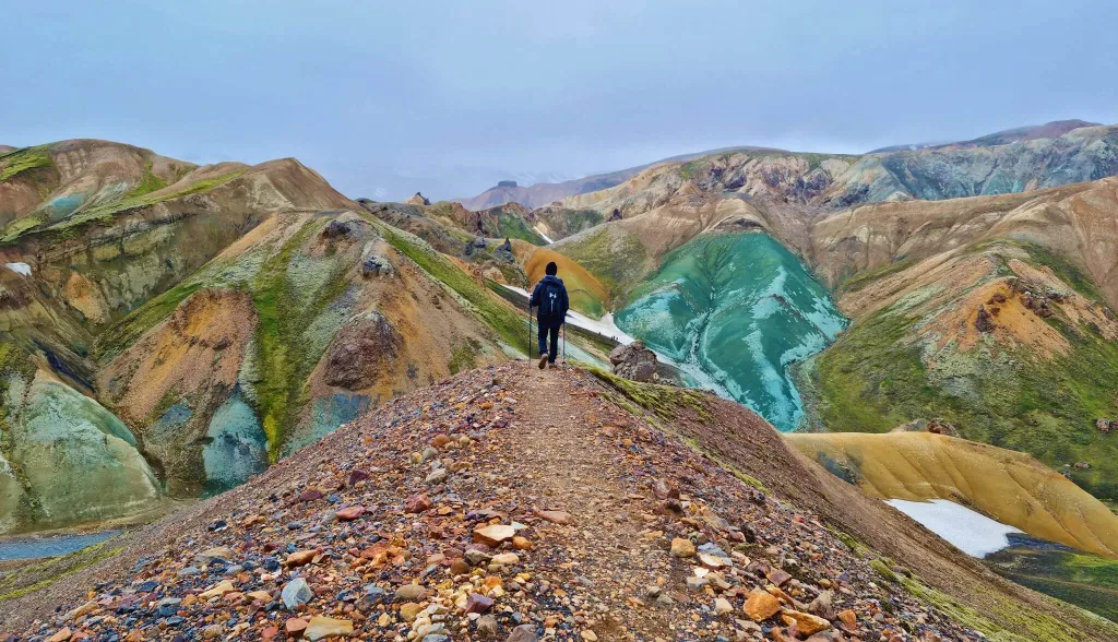
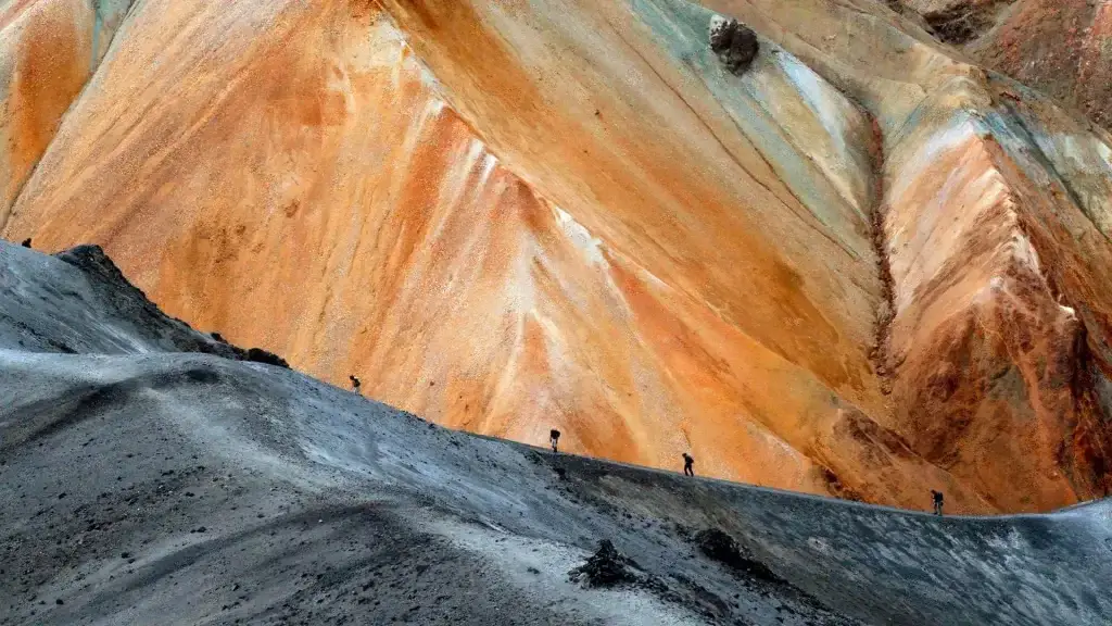
Rainbow hills on a Grænihryggur hike are some of the most beautiful ones in Landmannalaugar

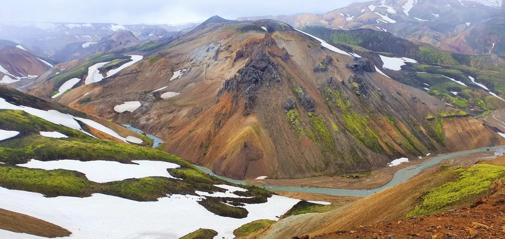
Despite being a bit more difficult, the hike to Grænihryggur is strikingly beautiful! Most of the time you’re gonna be surrounded by various types and tones of rainbow mountains, feeling totally like in a fairy tale. The weather was far from clear skies during our hike, we nevertheless felt like on another planet anyway.

Shortly before the final ascent of the hike we met the local Icelandic hiking group, which seemed to be just a huge group of friends. At that moment we saw who came with all these local cars 🙂 The group was apparently enjoying their summer hike and making a little picnic with some amazing views over nearby rainbow hills.

graenihryggur green ridge hike iceland

The first glimpse of the green ridge in the distance

Nevertheless, we continued with our hike and eventually reached the plateau, where we could finally see the famous Grænihryggur in the distance! Visibility wasn’t ideal, and Grænihryggur definitely looked much better in reality compared to the pale colors in the pictures. But that’s Iceland! We were happy we caught only a slight drizzle and weak fog and conditions were otherwise nice.

From this point we could already see Graenihryggur in the distance, so we could have easily ended at this spot and turned back, but we wanted to arrive right next to this famous green ridge. That being said we continued further along the trail.

green ridge hike iceland

The final descent towards the green ridge of Grænihryggur

Grænihryggur

The plateau leads to a ridge that can get you all the way right next to Graenihryggur. At this part of the trail, we were able to observe Graenihryggur getting nearer and nearer in front of us with every additional step.

From this ridge, we had to again descend down into the valley and finally reached Graenihryggur with its out-of-this-world colors itself. It’s forbidden to walk over the green ridge, because of the very fragile soil that can be damaged easily. Nevertheless, you can stand by Graenihryggur for as long as you wish and for example take a little picnic, as we did.

This is where the easiest and the most popular “Halldórsgil to Grænihryggur” hiking trail ends. You can then either turn back and follow the same trail back, as we did. Or you can continue with unmarked trails to follow different ways back and/or get to Jökulgil canyon or Landmannalaugar campsite. These trails are more difficult though, and we do not recommend hiking them without extensive hiking skills and/or a local knowledge of the area.

Grænihryggur green ridge

Admiring the famous Grænihryggur green ridge!

Quick hiking Tips

  • Choose a nice day. I know it’s easier to be said than done, we’ve been there. But try to choose a nice day. This at least means no stronger rain and no strong fog. We had a light fog and light rain and the hike was nice anyway. Of course, ideally, you aim for clear skies and no fog, but that may be hard to achieve.
  • Come with a proper 4×4 car. You’re gonna need it to reach the trail.
  • Study beforehand where the trailhead, i.e. the beginning of the trail is located. It may be harder to find, there’s no big sign, nor a car park.
  • Bring hiking poles and good physical health. This hike is not for small children, nor for the elderly.
  • Some climbs are pretty steep but if you are in a good shape they are definitely doable, no chains, no sharp ridges, just typical slippery Icelandic hiking 🙂
  • Enjoy the hike, views, and surroundings are very versatile, Graenihryggur is one of the most beautiful hikes in an entire Iceland in my honest opinion.

epic iceland facebook group ask questions or get inspired in our community

Posted by Igor in Guide, Hikes, 6 comments
Best Winter Tours in Iceland

Best Winter Tours in Iceland

We made a list of the top winter tours in Iceland that we loved the most. A crystal blue ice cave? A glacier hike? Or a Northern Lights tour? What about snowmobiling? Pick your favorite one too!

This post is part of our Winter Iceland articles series:

This website may contain affiliate links and we may earn a small commission at no extra cost to you. This helps us cover running costs of this website.

Map of the best winter tours in Iceland

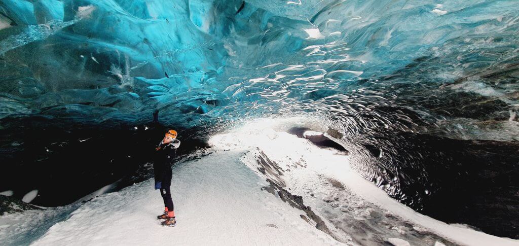
1. Ice caves

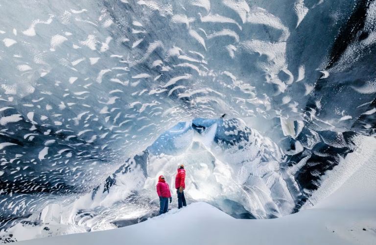
best ice cave in iceland

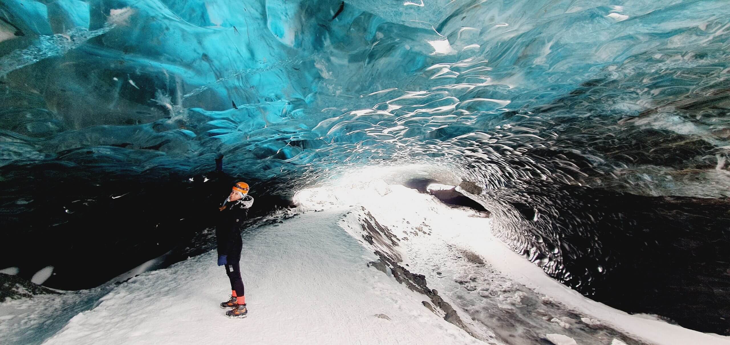
Crystal Blue Ice Cave near Jökulsárlón

Map of the ice caves in Iceland:

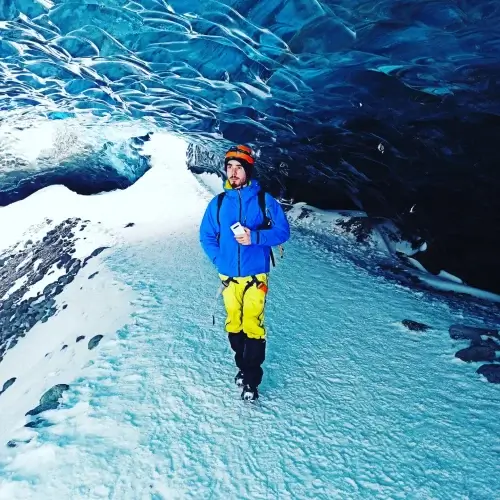
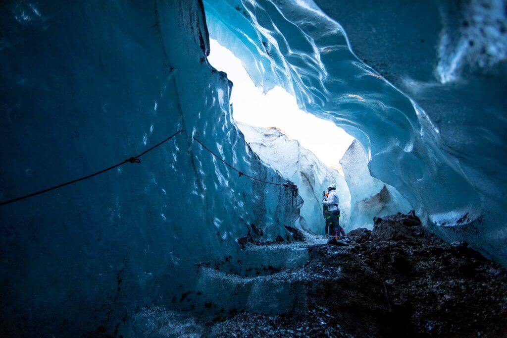
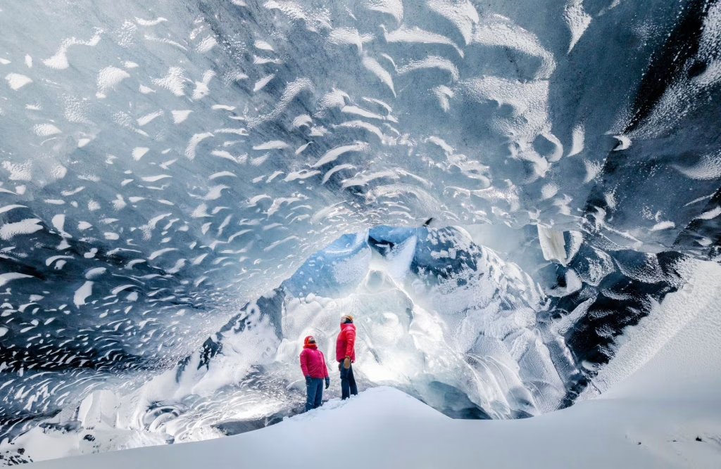
The best Ice caves in Iceland are located around Jökulsárlón, and the pickup point is usually at Jökulsárlón or in Hali, the nearby village. If you have a combined tour with something else, for example, the south coast, the tour may start in Reykjavik too but usually does not.

The best ice caves in Iceland are accessible mainly from October to April, as we write in our Iceland in Winter primer. Katla Ice Cave is accessible all year round, though it is considered the second most beautiful.

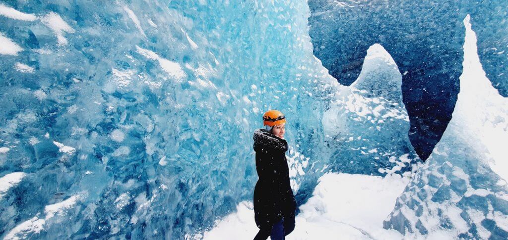
1.1. Crystal Blue Ice Cave

sapphire ice cave local guide of vatnajokull

Crystal Blue (sapphire) ice cave

In our opinion the most beautiful ice cave in Iceland. There’s no 1-day tour visiting Crystal Blue ice cave from Reykjavik, it’s simply too far from Reykjavik. The only option is to drive to Jökulsárlón yourself, hire a private driver, or take a 2-day tour.

1.1.1. from Jökulsárlón

1.1.2. from Jökulsárlón as a combo with Glacier hike

The tour no.1 we enjoyed the most in winter in Iceland was undoubtedly the visit to an ice cave combined with a glacier hike. We can highly recommend the ice cave and/or glacier hike tour by Local Guide of Vatnajökull, a 5* reviews company with amazing guides, and also IcePic Journeys for best photo tours.

5% DISCOUNT Code for LocalGuide.is: EPICICELAND

10% DISCOUNT Code for IcePicJourneys.is: EPICICELAND

Why Local Guide and Ice Pic Journeys? They both try to stay as much away as possible from other tourist groups, have great and knowledgeable local guides, and will take you to all the best spots available in a particular season!

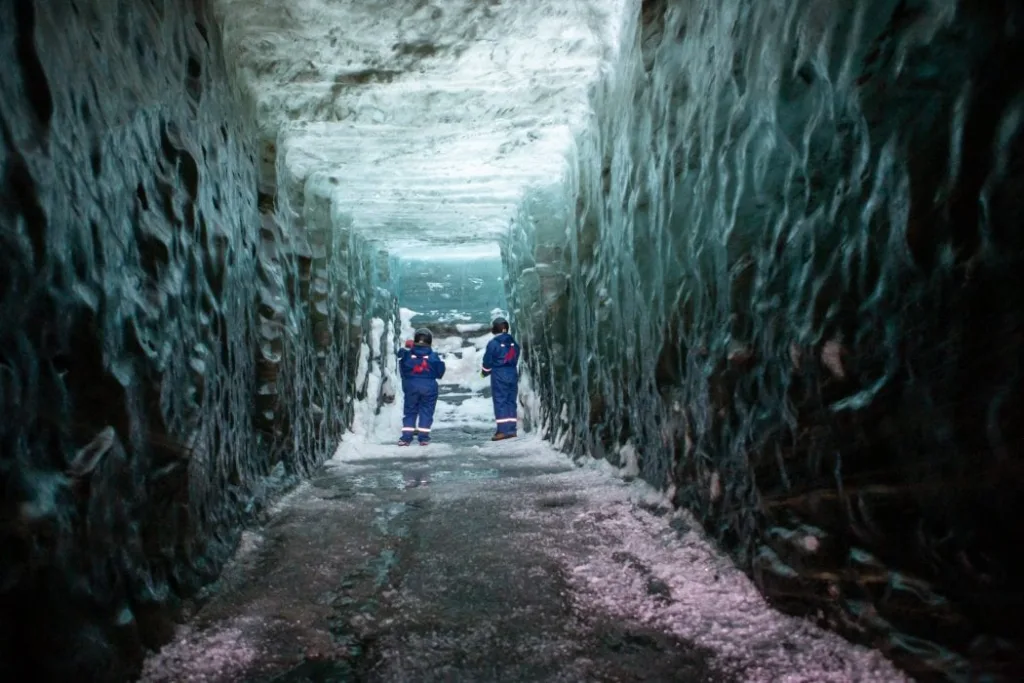
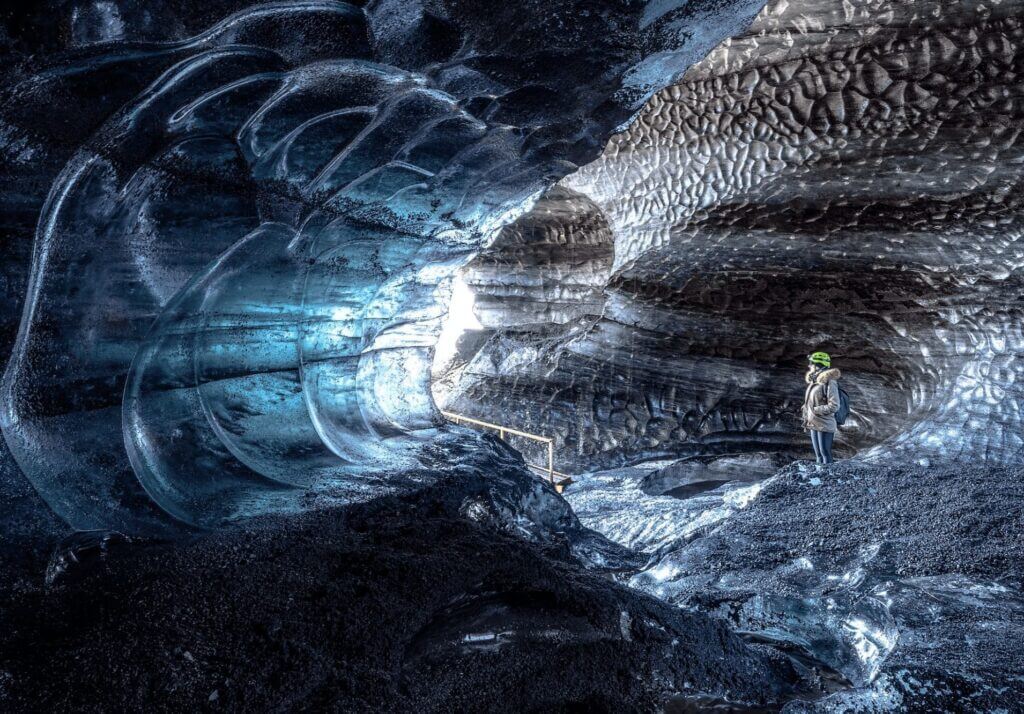
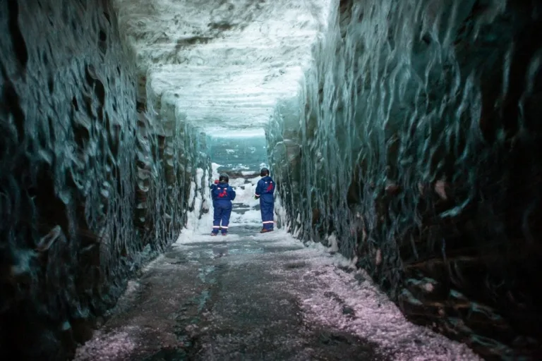
secret ice tunnel iceland

Combo Ice Cave + Glacier hike tour by LocalGuide.is

Not sure if to visit just an ice cave or do a combo tour with a glacier hike? Our recommendation –  definitely go for the combo tour. Not only will it be a much more private experience away from the crowds, you will also see much more and soak up the atmosphere of winter Iceland to the fullest. If you are in at least slightly good shape, you should be totally able to complete this easy all-day hike, including many stops at out-of-this-world places.

1.1.3. from Reykjavik as a 2-day tour

The best local tour company for multi-day tours in Iceland is definitely NiceTravel. They have professional and funny local guides and mostly only 5* reviews. They also operate an amazing 2-day Ice Cave tour from Reykjavik that will take you to the Crystal Blue ice cave and to the most beautiful places along the south coast.

5% DISCOUNT Code for NiceTravel.is: EPICICELAND (valid only for our newsletter subscribers)

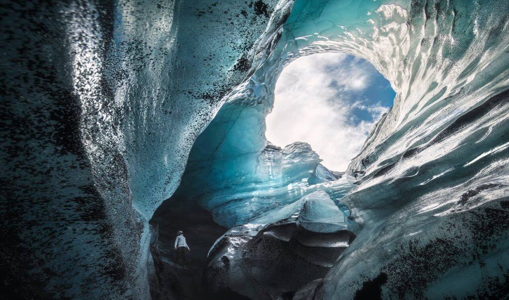
1.2. Katla Ice Cave

katla ice cave tour from vik

Katla Ice cave tour from Vik

This is a popular ice cave to visit also from Reykjavik because it’s much closer. There are several amazing Katla ice cave tours. The main difference between them is the starting point and whether it’s “just an ice cave” or the tour is combined with some other activity.

1.2.1. from Vik

1.2.2. from Reykjavik

1.2.3. from Reykjavik as a combo with the South coast

A private combo tour of Katla ice cave + South coast + Black Sand Beach from Reykjavik is run by amazing Glaciers and Waterfalls.

10% DISCOUNT Code for GlaciersAndWaterfalls.is: EPICICELAND

1.3. Skaftafell Ice Cave

Skaftafell blue ice cave

Skaftafell blue ice cave

There’s also a nice smaller ice cave located in Skaftafell park. Here is the best Skaftafell ice cave tour combined with a glacier hike:

1.4. Langjökull Ice Caves

There are two man-made ice caves hidden in the gigantic Langjökull glacier. No worries, the ice caves are no less stunning, even when dug by men! The first, southern Langjökull ice cave, can be visited only as a combo tour with snowmobiles, starting at Gullfoss. The second, the western Langjökull ice cave, can be visited as a day tour from Reykjavik or as a day tour from Reykjavik combined with snowmobiles.

1.4.1. from Gullfoss as a combo with Snowmobiles

Langjökull ice cave iceland

Langjökull man-made ice cave

The best tour to a Langjökull ice cave is a tour by Mountaineers.is in our opinion. Mountaineers are the best Icelandic snowmobiling company. In this amazing tour starting at Gullfoss, they combine both snowmobiling on a magnificent Langjökull glacier and a visit to a nearby Langjökull ice cave. Highly recommended!

5% DISCOUNT Code for Mountaineers.is: see here

1.4.2. from Reykjavik as a combo with Snowmobiles

Ice Cave tour combined with snowmobiling will take you to the man-made Langjökull ice cave from Reykjavik. 5% discount code for the tour: EPICICELAND24

1.4.3. from Reykjavik ice cave only

Into the Glacier tour will take you only to the man-made Langjökull ice cave from Reykjavik. You can use a 5% discount code for the tour: EPICICELAND24

2. Glacier hikes

glacier hike in iceland

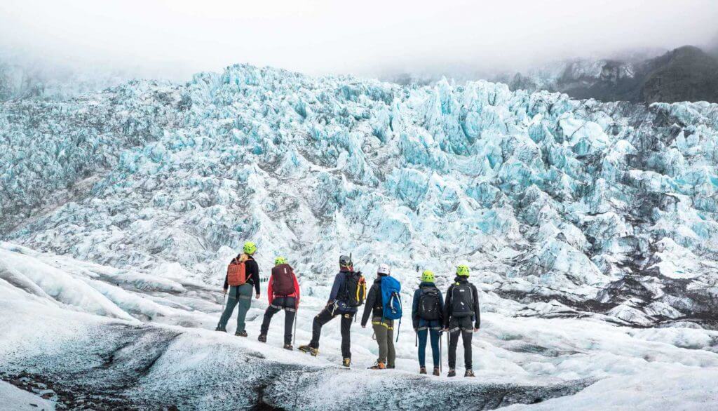
Amazing Vatnajökull glacier hike by www.localguide.is, 5% discount code: EPICICELAND

The best glacier hikes are run by two companies:

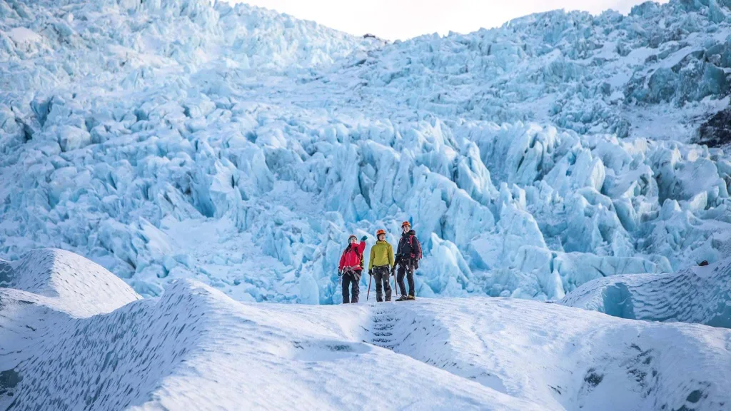
Both these companies are top-notch tour providers and they run many different types of glacier hikes from the top 3 locations in Iceland for glacier hikes – Sólheimajökull, Skaftafell, and Vatnajökull. 5* reviews are obvious for both Local Guide of Vatnajökull and Icelandic Mountain Guides, and so are the funny and knowledgeable guides. We guarantee you will be happy with all their tours!

Map of the glacier hikes in Iceland:

2.1. Sólheimajökull glacier hike

Sólheimajökull Glacier is the closest huge glacier to Reykjavik. Below are the best glacier hiking tours in Iceland run at Sólheimajökull:

best skaftafell glacier hike tour

Top Skaftafell glacier hike tour run by www.mountainguides.is, 5% discount code: in our newsletter

2.2. Vatnajökull glacier hike

2.3. Skaftafell glacier hike

3. Super Jeep tours

thorsmork winter super jeep tour

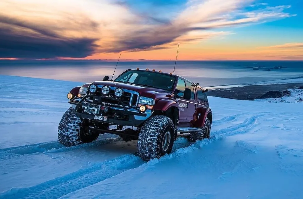
Thórsmörk winter super jeep tour by www.midgardadventure.is, 10% discount code: EPICICELAND10

Highlands in winter are closed for all cars except super jeeps with local drivers. Does that mean you should not go into the highlands? Not at all! Go, and choose a great winter super jeep tour!

10% DISCOUNT Code for MidgardAdventure.is: EPICICELAND10

Some places look more magnificent and some less in winter, so it’s good to know where to go. For example, Landmannalaugar in winter usually looks like “white hills everywhere”. I.e., Landmannalaugar is definitely more colorful in summer, which many visitors prefer. On the other hand, e.g. Thórsmörk is very versatile and picturesque with many amazing spots also in winter.

3.1. Thórsmörk

thorsmork winter super jeep tour

Private Thórsmörk winter super jeep tour by www.glaciersandwaterfalls.is, 10% discount code: EPICICELAND

By far the best price-to-value super jeep tour to Þórsmörk in Iceland is run by legendary Midgard Adventure (10% discount code: EPICICELAND10). We guarantee you will be happy with them 🙂 Midgard is a crown jewel among Icelandic companies. The only downside of this tour is that the number of participants can reach as many as 14.

If you are looking for a private Thórsmörk tour, we can highly recommend a private Thórsmörk super jeep tour by Glaciers and Waterfalls, the no.1 family company running private super jeep tours from Reykjavik and the south. Great reviews, great guides, great tours to spots, not all tours go to. And for our readers a 10% discount code: EPICICELAND

3.2. Eyjafjallajökull

eyjafjallajokull glacier super jeep tour

Eyjafjallajökull Winter super jeep tour by www.midgardadventure.is, 10% discount code: EPICICELAND10

Want to head entirely off the beaten track? Well, what about a crazy drive with a super jeep on a glacier? All the way up to the famous Eyjafjallajökull volcano!

Eyjafjallajökull glacier volcano super jeep tour is a unique experience you will never forget. It’s operated by 5* rated Midgard Adventure, and our readers can enjoy a 10% discount code on their tours: EPICICELAND10

4. Helicopter tours

winter helicopter tour iceland

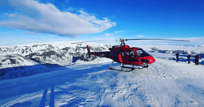
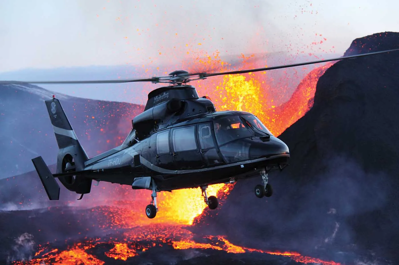
Winter helicopter tours by www.helicopter.is

Can any viewpoint be better than a bird’s eye viewpoint? Hardly! If you have some extra money, definitely go for a helicopter tour! We can highly recommend a helicopter company being 20+ years in business already, called Nordurflug, or Helicopter.is.

We are very proud to offer our readers a 5% discount on the best Icelandic helicopter tours run by Nordurflug, with the discount code: EPICICELAND

5. Horse riding

winter horse riding iceland

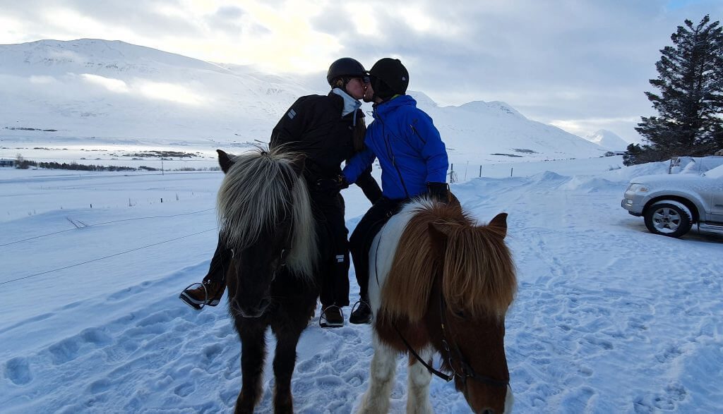
Tvistur horse rental in Dalvik

If you love Icelandic horses at least half as much as we do, you will love also riding an Icelandic horse in winter! Horse riding is one of the cheapest tours you can experience in Iceland and often also one of the best.

Horse riding in Iceland is also quite weather-proof because you usually don’t need a sunny and clear day for that. Yes, such a day may be much nicer and more comfortable, but it’s not a necessity. That being said, rather avoid stronger rain or too windy days.

The horse-riding tour we enjoyed the most and operates also in winter is, without doubt, www.tvistur.is operating from Dalvik, near Akureyri. Tvistur is a small family company taking care of horses for their entire life. No discount codes this time, let’s leave all the money to a family which deserves it.

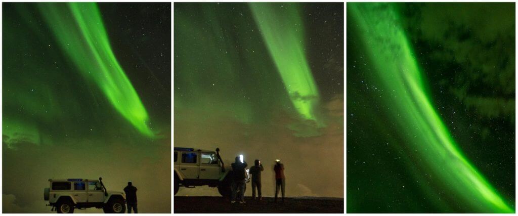
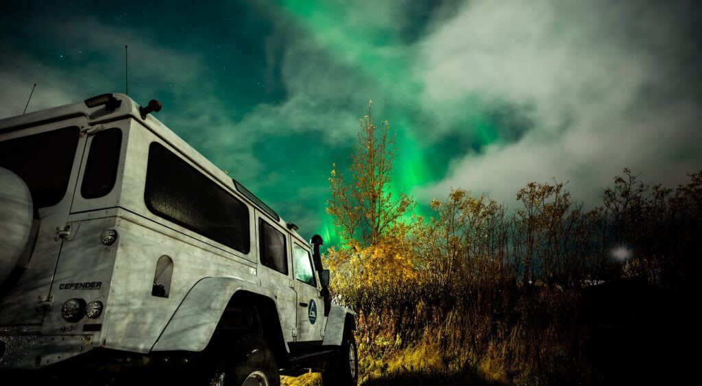
6. Northern Lights tours

glaciers and waterfalls aurora tour

Pictures from a guided Northern Lights tour from Reykjavik by Glaciers and Waterfalls, 10% discount code: EPICICELAND

Of course, it’s perfectly possible to see Northern Lights yourself and you don’t need to take any guided tour for that. However, it requires time, knowledge, and skill. If you don’t want to bother with studying how, when and where to see Aurora, you can rather book a guided Northern Lights tour. There are many different northern lights tours in Iceland and we picked the three we consider to be among the best ones – two from Reykjavik and one from Mývatn/Akureyri:

6.1. From Reykjavik

northern lights tour reykjavik

A picture from a guided Northern Lights tour from Reykjavik by Glaciers and Waterfalls, 10% discount code: EPICICELAND

6.2. From Mývatn and Akureyri

northern lights tour myvatn

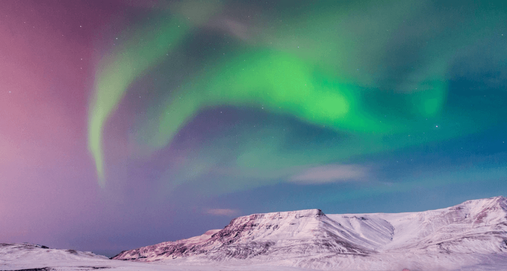
A picture from a guided aurora tour from Mývatn by Star Travel

7. Snowmobiling

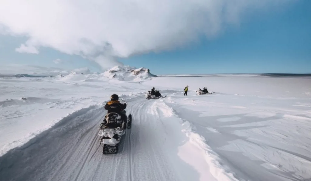
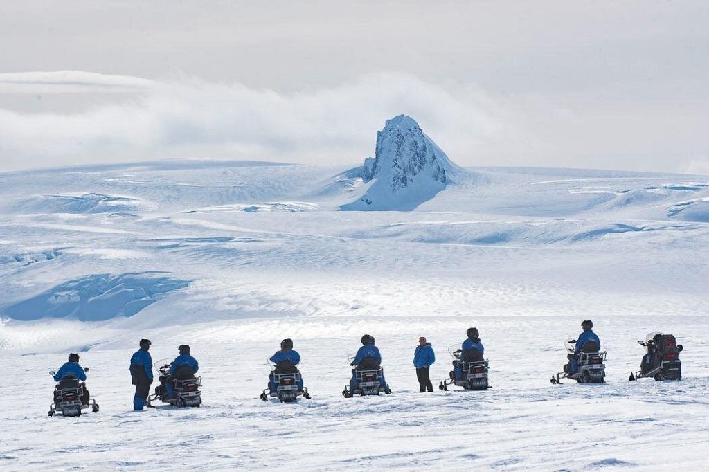
snowmobiling gullfoss iceland

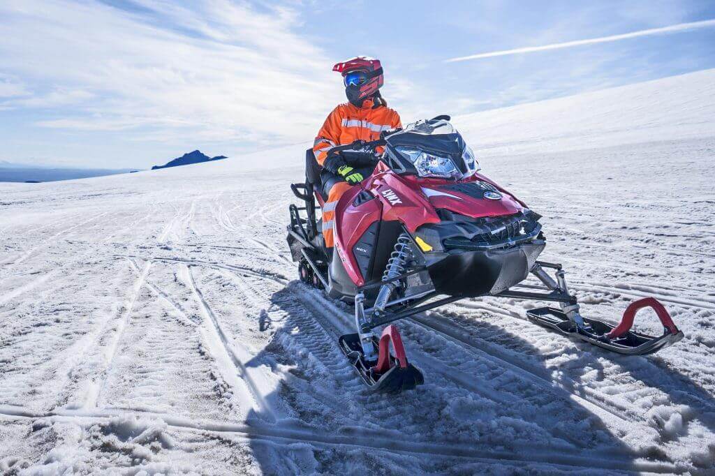
Snowmobiling in Iceland

If you are looking for excitement in winter, snowmobiling should satisfy your needs.

Snowmobile tours operate from their bases usually either at Mýrdalsjökull or at Gullfoss. If you want to take a snowmobile tour from Reykjavik, you have to take a combo tour with something else, e.g. Golden Circle, or you have to hire a private driver or private tour.

7.1. Snowmobiling from Mýrdalsjökull

snowmobiling myrdalsjokull iceland

Snowmobiling from Mýrdalsjökull

Where to go for snowmobiling? We can highly recommend a great snowmobiling tour by Icelandic Mountain Guides, which is one of the best and most reputable Icelandic companies. 5* reviews, professional guides, and amazing tours are all the certainty with Icelandic Mountain Guides.

5% DISCOUNT Code for www.MountainGuides.is: in our newsletter

Snowmobile tour by Icelandic Mountain Guides is operated from Mýrdalsjökull and is totally worth a drive there. Mýrdalsjökull is one of the best possible places to go for snowmobiling in Iceland.

7.2. Snowmobiling from Gullfoss

snowmobiling from gullfoss

Snowmobiling from Gullfoss

The best snowmobiling company in Iceland with the longest tradition is for many Mountaineers of Iceland. Their base is at Gullfoss, and you can take one of the cheapest snowmobile tours in Iceland from there.

5% PROMO Code for www.Mountaineers.is: see here

Mountaineers offer various snowmobiling tours from various bases (Gullfoss and Reykjavik), both as standalone tours or as combo tours. They even offer a “super fast snowmobiling tour” for those seeking even more adrenaline. If you are looking for top-notch snowmobiles, definitely take a look at Mountaineers!

7.3. Snowmobiling + Golden circle from Reykjavik

The best one is run by Mountaineers tour, 5% discount with the discount code: see here

7.4. Snowmobiling + Ice Cave from Reykjavik

This is a fantastic Snowmobile and Ice Cave tour from Reykjavik, 5% discount code: EPICICELAND24

This tour combines both Snowmobiling and Langjökull Ice Cave visit and departs from Reykjavik.

7.5. Snowmobiling only from Reykjavik

We usually don’t recommend going only for snowmobiling and taking a Reykjavik departure, because the price of this tour is almost the same as if you went for a combo tour of Snowmobiling and something else. In other words, you can have a longer and richer experience with a different tour for the same buck. But if you insist, here is the tour which has good reviews:

8. Whale Watching

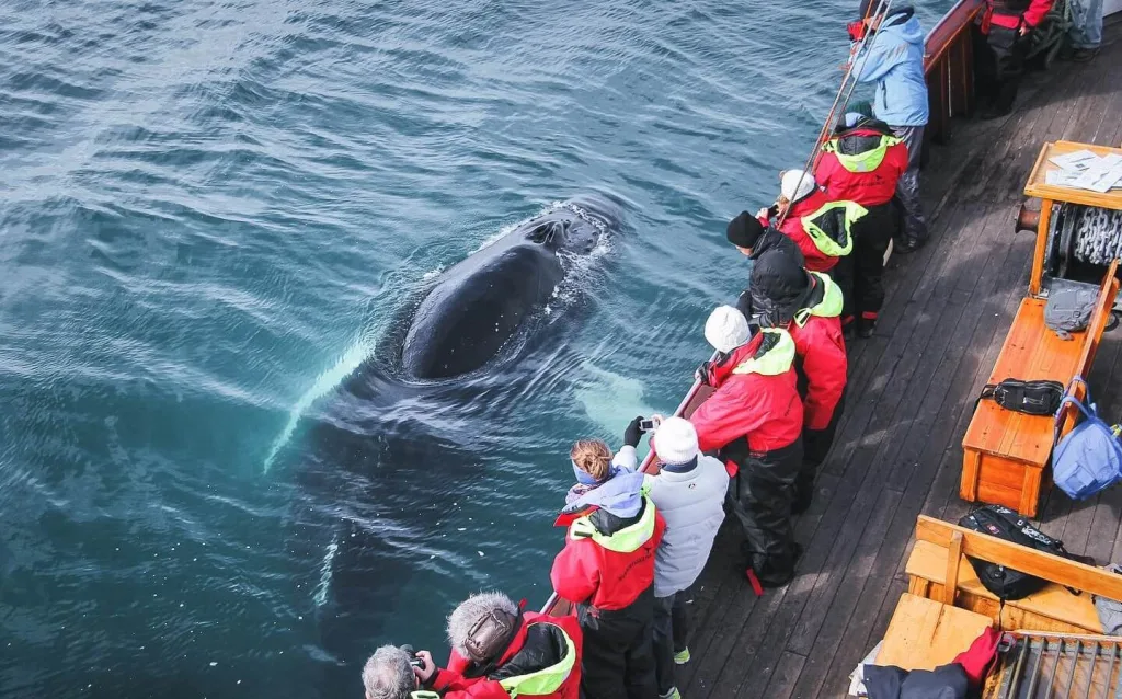
north sailing whale watching

Whale watching by North Sailing

Whale watching in winter? No problem! Some companies operate also in winter, and there’s always something to see when sailing the ocean. Warm overalls provided by tour companies will keep you warm.

8.1. from Reykjavik

Here are the two best-rated whale-watching tours from Reykjavik by Elding:

elding whale watching discount code

Amazing Reykjavik whale-watching by Elding

8.2. from Húsavik

The best traditional whale-watching company operating 20+ years is called North Sailing. Be sure to check out their tours!

We can also offer our readers a 10% discount on all their tours with the discount code: EPICICELAND

8.3. from Akureyri

The second best whale-watching spot in Iceland after Húsavík is undoubtedly in Akureyri. And when it comes to the no.1 company operating whale-watching tours from Akureyri, it’s definitely Elding:

9. Snorkeling between two continents

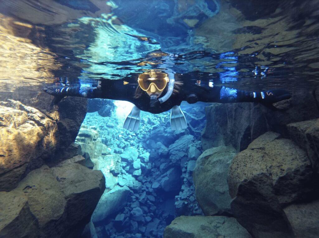
troll silfra snorkelling classic

Silfra snorkeling classic tour

Although a bit colder in winter, still nice and totally worth it!

By far the best company offering Silfra tours is Dive.is – PADI 5 Star Dive Center Iceland. No competitor is anywhere near when it comes to 5* reviews! here are their top snorkeling tours:

And here are their top diving tours:

10. Glacier and Ice Cave Monster Truck

ice cave monster truck iceland

Ice Cave and Langjökull Glacier by Monster Truck from Gullfoss

Wanna try something different? Something where typical tour companies won’t take you? Well, what about the biggest Glacier Truck in the world? Moreover, here is a 15% discount for the tour with the promo code: EPICICELAND

Sleipnir tours depart from Gullfoss and in winter includes:

  • Langjökull glacier drive by monster truck
  • Langjökull glacier walk
  • Ice Cave visit

11. Photo tours

iceland photo tours

The most amazing Photo tours by IcePic Journeys. 10% discount code: EPICICELAND

Looking for professional Photo tours at amazing spots? Definitely check out IcePic Journeys, then! Our readers can enjoy a 10% discount on all their tours with the promo code: EPICICELAND.

Ice Pic Journeys it’s by far the best Icelandic photo tour company. They only have 5.0/5 reviews on Google, Tripadvisor, and Facebook as well. They specialize in Ice Cave and Glacier photo tours but also service amazing South Coast photo tours and Highlands photo sessions! See below the selection of our favorite ones:

12. Multi-Day tours

winter multi-day tours iceland

Winter multi-day tour by Arctic Adventures

Coming to Iceland alone? Not renting a car? Want to see the most beautiful places around Ring Road? Then go for a Multi-Day tour! Thanks to a longer tour you don’t have to care about transport or accommodations and you can enjoy all the amazing winter activities in Iceland. For winter ring road tours in Iceland, we highly recommend two local companies:

  • NiceTravel, a smaller Icelandic family company with great local guides and tours, 5% discount code on all tours: EPICICELAND (valid only for our newsletter subscribers)
  • Arctic Adventures, the oldest and biggest tour company in Iceland, with the widest tour selection. Subscribe to our newsletter or contact us for more info and discounts for Arctic Adventures.

13. Private tours

robert private tours

Our private guide Robert, contact us at [email protected] with a 10% discount code: EPICICELAND

Do you want a guide only for yourself? Do you have special wishes? Do you want your trip to be fully tailored to you? Take a private tour then!

Robert is our favorite local guide and a good friend of ours and we know him for a really long time. Besides, he is a real guiding gem! He will fulfill any wish you have at any time and ASAP.

Just write us at [email protected] with a 10% EPICICELAND promo code and we will give you the lowest possible price! 🙂

YOU MAY ALSO LIKE:

epic iceland facebook group ask questions or get inspired in our community

Posted by Igor in Top Places, Winter, 16 comments
15 Best Summer Tours in Iceland You Will Never Forget

15 Best Summer Tours in Iceland You Will Never Forget

We created a list of the top summer guided tours in Iceland run only by the best local tour companies. There are hundreds of trip providers in Iceland and it may be hard to choose the proper one. We went through almost all summer excursions and picked the top activities where your experience is guaranteed to be unforgettable!

You can see many magnificent places in Iceland on your own, but not all of them. You can’t fly a helicopter, raft in a river, watch a whale or hike a glacier by yourself in Iceland. But you can take the guided tour! The list below includes family tours, tours for solo travelers as well as tours for adventure seekers.

The list below is NOT just the random internet pick with affiliate links. We REALLY went through these tours and even personally took most of them. We guarantee that all the companies mentioned below are great and highly knowledgeable local companies, you will enjoy dealing with 🙂

This website may contain affiliate links and we may earn a small commission at no extra cost to you. This helps us cover running costs of this website.

Map of the best summer tours in Iceland

1. Super Jeep tours

thorsmork winter super jeep tour

Thórsmörk super jeep tour by www.midgardadventure.is, 10% discount code: EPICICELAND10

Super jeep tours in Iceland are the safest and most comfortable way to enjoy the spectacular Icelandic highlands. Some places, like Thórsmörk, are unbelievably beautiful yet very hard to access. This is where a local guide steps in and safely makes it through all the river crossings with his super jeep.

We prefer small local companies with amazing reviews for guided highlands tours. Why? The groups are very small, every trip is unique, the guides are often very sincere and funny, and you support little-known family companies. Beautiful examples of such companies are

All three have 5* reviews only and will give you a unique local experience.

1.1. Thórsmörk

private thorsmork super jeep tour

Private Thórsmörk super jeep tour by www.glaciersandwaterfalls.is, 10% discount code: EPICICELAND

If you can pick only one tour, then go for the Thórsmörk super jeep tour, and you will not regret it! Þórsmörk is one of the most beautiful places in the Icelandic highlands, but it’s hard to get there safely. There are multiple treacherous river crossings where a local guide with a super jeep will greatly help.

We carefully chose our local Thórsmörk tour companies, and we think the best are small family companies Midgard Adventure, Glaciers and Waterfalls, and IcePic Journeys. They have fabulous 5* reviews, always as few people on board as possible, and some of Iceland’s best and funniest guides. Yes, we also tried different, slightly cheaper tours, but none were as great as the ones with Midgard, Glaciers and Waterfalls, and IcePic Journeys.

1.2. Landmannalaugar

landmannalaugar summer guided tour

Landmannalaugar guided tours

The two best south-highlands tours are undoubtedly Þórsmörk and a Landmannalaugar super jeep tour. Yes, you can definitely visit Landmannalaugar on your own if you prepare well, choose your car wisely and plan your trip accordingly. For those who don’t want to plan, we highly recommend taking one of the four best Landmannalaugar tours we hand-picked for you:

Every single one of the top-notch companies we selected above will maximize your day so that you can enjoy the most of Landmannalaugar in 1 day to the fullest. The smaller the group (and the more expensive the tour), the more they will take you to hidden corners along the road and adjust your pace according to your needs.

Everything is possible only during private tours 🙂 We totally recommend private tours (10% discount code: EPICICELAND) for those seeking a fully personal experience.

For photo tours, be sure to check out IcePic Journeys and use a 10% discount code: EPICICELAND.

1.3. Fjallabak

fjallabak super jeep tour iceland

Fjallabak super jeep tour by www.midgardadventure.is, 10% discount code: EPICICELAND10

Want to be entirely alone exploring harsh Icelandic highlands? Want to see the ethereal Maelifell Volcano? Then take a fantastic Fjallabak super jeep tour by Midgard Adventure!

We offer our readers an exclusive 10% discount code: EPICICELAND10 for Midgard

1.4. Askja

askja oskjuvatn viti

Super jeep tour to Askja

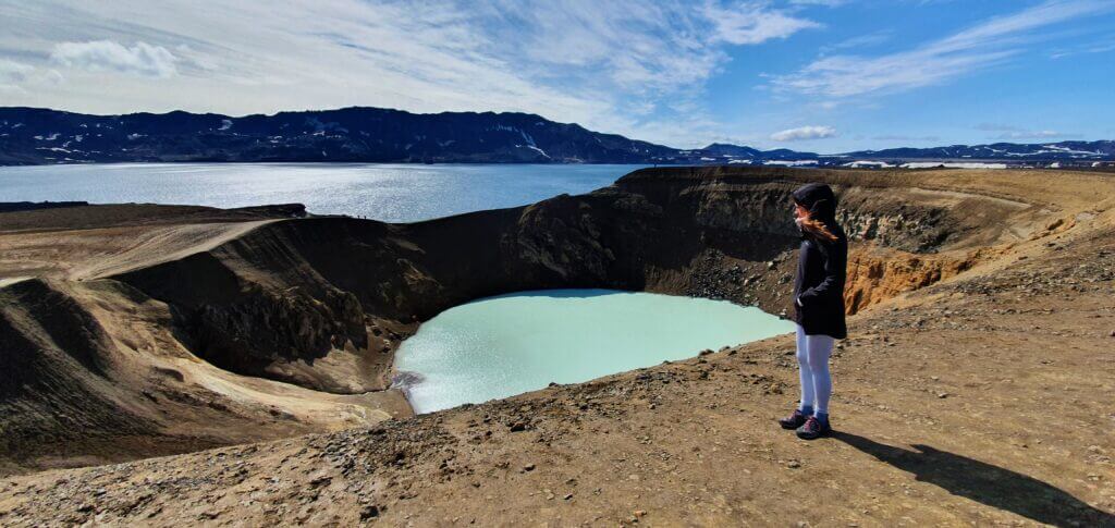
If you are staying in the north, a must-see tour is the Askja super jeep tour. Askja is an otherworldly crater full of azure blue water, where you can actually even bathe when the conditions are right! Can you visit Askja on your own? Yes, you can, but it again requires a lot of planning and renting a proper car. If you don’t want to organize this on your own, then taking a guided tour is recommended.

Not many tours will actually take you to Askja because it takes a lot of driving to reach it. But man, that drive is more than just worth it! The best local company doing tours to Askja is Star Travel. We personally know the owner, and he’s a very funny and friendly guy, and so is his entire family company 🙂 Highly recommended!

1.5. Kerlingarfjöll

kerlingarfjoll hveradalir stairs

Kerlingarfjöll guided tour

If we had to make a list of the best highlands tours, the Kerlingarfjöll guided tour would definitely be at the top of it. Kerlingarfjöll is a place like no other in Iceland and everybody who has been there will only confirm this to you. It’s located in the heart of the Icelandic highlands and it takes a lot of driving to reach it. If you want to see Kerlingarfjöll on your own, read our guide on how to visit Kerlingarfjöll.

The top Kerlingarfjöll tour is run from Akureyri by Star Travel, an amazing local company with only 5* reviews and a lot of highlands experience. This is one of the authentic Icelandic family companies that will make your trip even more unique.

2. Helicopter tours

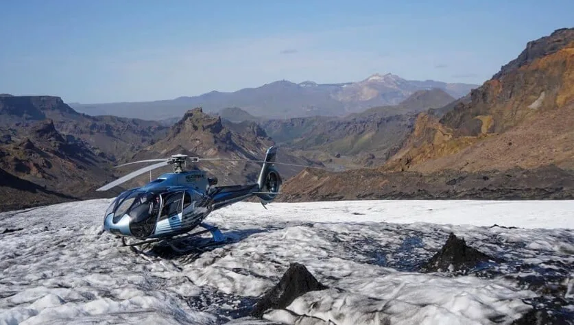
helicopter tour iceland

Best helicopter tours in Iceland are run by Nordurflug

If you want to fly over Iceland physically, not just in the cinema, then taking a helicopter flight tour is the single best option 🙂 When it comes to helicopter tours in Iceland, it’s easy to find the best company. It’s called Nordurflug, or Helicopter.is (that is the same company) and we are proud to offer our readers a 5% discount on all their amazing tours. And boy, there are so many of them!

Whether you want to fly over a glacier, fly near a volcano, fly above the highlands, or just fly above Reykjavik, you can do all of these and more with Nordurflug’s award-winning flights.

3. Rafting

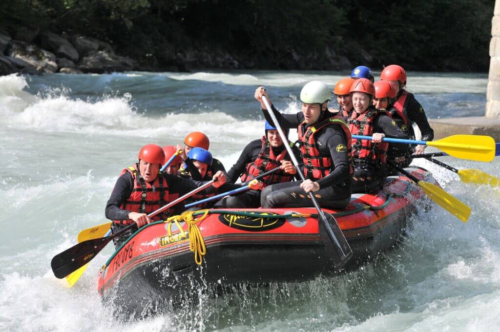
iceland rafting

Best Iceland rafting tour by Viking Rafting from Akureyri

4.1. Akureyri

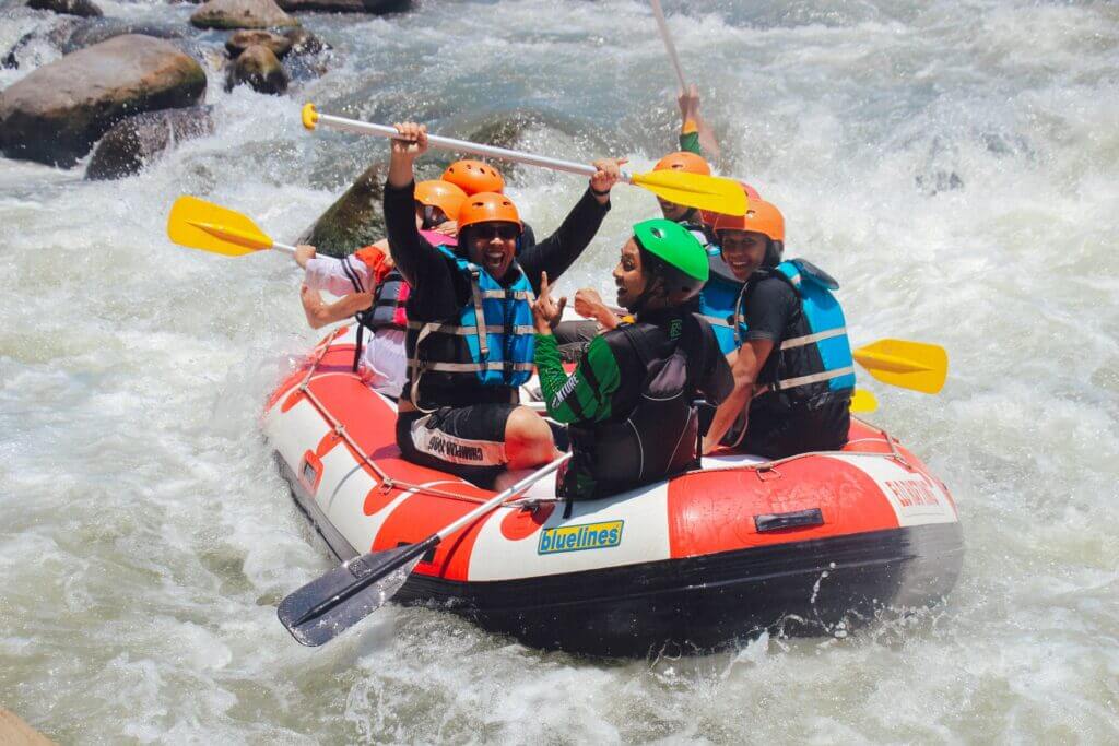
Want to try one of the best adventure tours in Iceland? It’s an easy choice then, go for the rafting tours by Viking Rafting from Akureyri and Varmahlíð! Icelandic canyons are nothing less than stunning. Now imagine not only observing the canyon from the top but also sailing down the river in the canyon! Well.. or better said rafting down. Sounds scary? Not that much with experienced guides!

Luckily enough, there’s a 5***** Icelandic company that puts both safety and fun in the first place. Be prepared to get wet, though! (Not too much, don’t be afraid). Viking Rafting is a top-notch Icelandic tour company with 5/5 ratings. They will serve you a rafting experience you will never forget!

4.2. Reykjavik

Can’t go all the way to Varmahlíð and still want to try spectacular Icelandic rafting experience? You’re lucky! An amazing company called Arctic Rafting has been doing rafting tours in river Hvítá near Golden Circle since 1985! Yes, for almost 40 years! They’ve got wonderful reviews and you can either drive straight to the pickup point or take their transfer from Reykjavik.

4. Whale watching

north sailing whale watching

Best Whale watching in Iceland by North Sailing

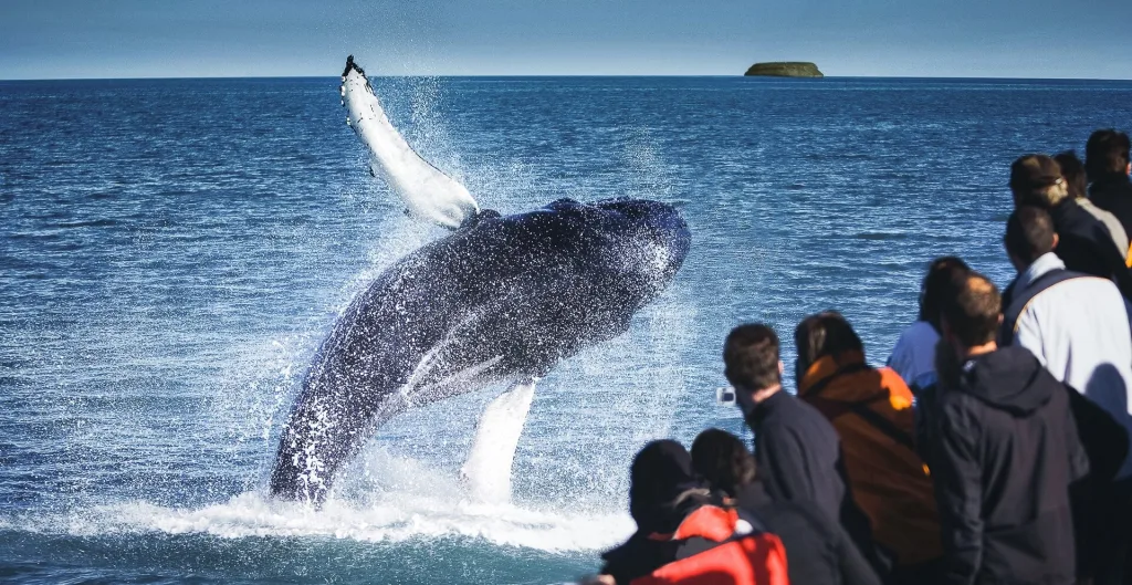
You’ve probably already heard about whale watching in Iceland. This is one of the most popular Icelandic tours. And there is a reason why. Watching whales, dolphins, seals, and puffins in their natural habitat is a once-in-a-lifetime experience. A whale tour is also probably the best summer tour for families in Iceland.

Whale watching is also an activity you simply have to book the tour for. Unless you have your own boat :). There are tens, if not hundreds, of different whale-watching tours. We reviewed all of them and picked the best 2 for you.

4.1. Húsavík

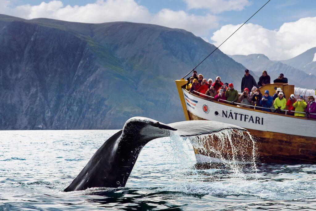
best whale watching husavik

Traditional whale watching from Husavik

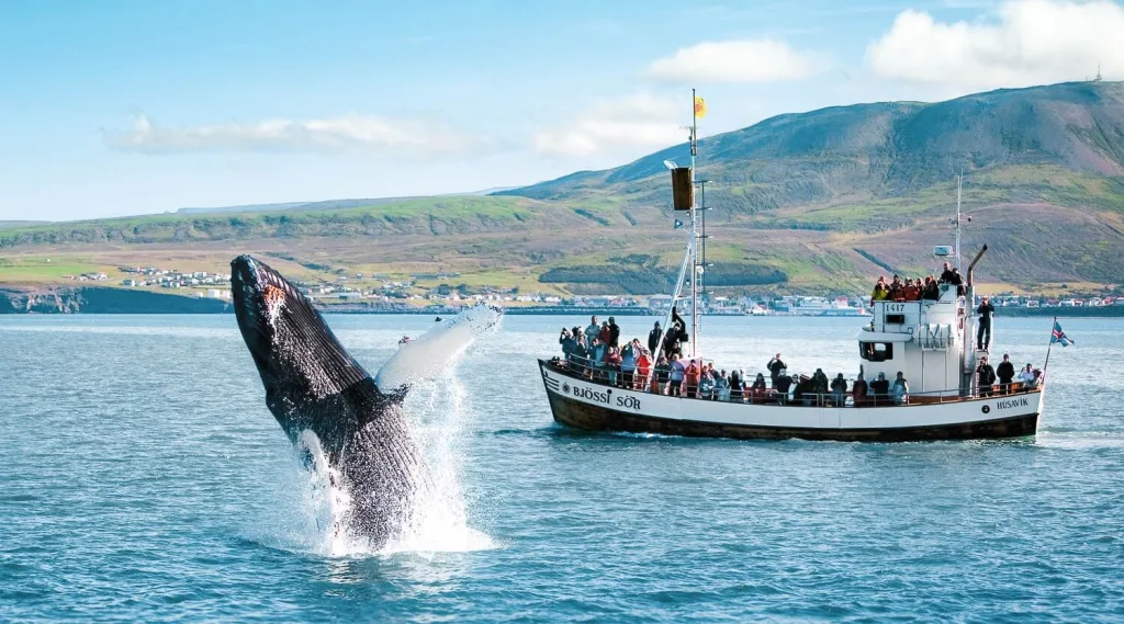
If we had to pick the single best whale-watching tour in Iceland we would choose traditional whale watching by North Sailing from Husavik. There’s a reason why all the best whale-watching companies in Iceland reside in Husavik. Husavik is the best place in Europe to see whales, that’s why it is also called the whale-watching capital of Europe. If you want to maximize your chances of seeing the whales in Iceland, then definitely come to Husavik.

And why North Sailing and why the traditional boat and not a RIB boat? North Sailing is the oldest whale-watching company in Iceland with 30+ years of history, a great fleet, cool guides, and tons of knowledge about whales. If there are any whales in the bay, be sure that North Sailing will find them!

Moreover, a traditional boat is safer, more considerate towards sea life and the environment, have lower chances you will get seasick, and is definitely more comfortable and warmer. The chances of seeing the whales are the same for both boat types because they visit the same spots in the bay.

top whale watching husavik

Whale-watching tour from Húsavík

4.2. Akureyri

The second highest chances of seeing the whales in Iceland are in an Akureyri fjord. The best Akureyri whale-watching company is undoubtedly Elding:

4.3. Reykjavik

Reykjavik has lower chances of spotting the whales compared to Húsavík, but hey, Húsavík is no.1 in the world, and chances in Reykjavik are also good! So in case your itinerary doesn’t stretch to Husavik or Akureyri, you can still see the whales even in the vicinity of Reykjavik. We went through all of them and picked the best wooden boat whale-watching from Reykjavik and also the best RIB boat whale-watching:

5. Horse riding

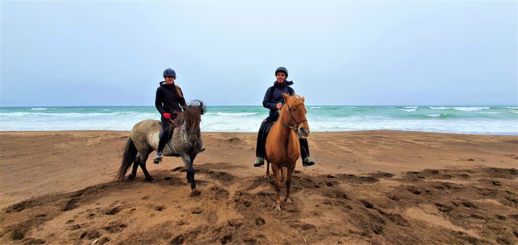
icelandic horse riding snaefellsnes beach

Horse riding on a Snaefellsnes beach

Honestly, we are not much into guided tours, but horse riding tours are one of our favorite summer activities in Iceland. The reason why is simple – it’s one of the best summer tours for nature lovers in Iceland. You will enjoy Iceland slowly, to the fullest, and so close to nature and the countryside. We picked a few tours in different parts of Iceland we consider the best horseback riding tours in Iceland.

The Icelandic horse is one of a kind. It is a unique breed of horse, exclusive solely to Iceland. Icelandic horses are smaller compared to “regular horses”, so it’s a bit easier to ride them. There’s even a law that states that it’s not allowed to breed any other type of horse in here. And once the Icelandic horse leaves the island, he’s not even allowed to come back. So – it’s some kind of a secluded, exclusive VIP horse club here in Iceland.

5.1. Reykjavik and South

This is our hand-picked selection of the top horse riding tours from Reykjavik and in the south:

5.2. Snæfellsnes

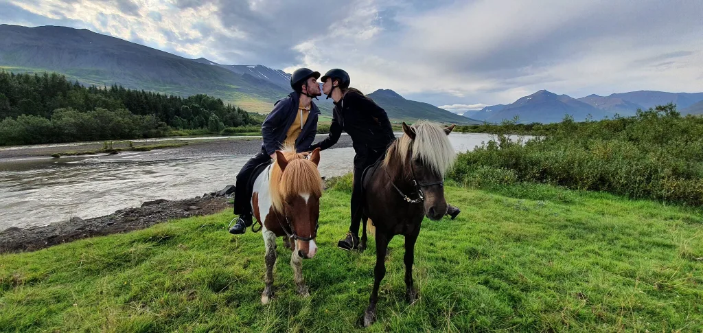
horse riding akureyri iceland

Tvistur horse rental in Dalvik

One of the most beautiful horseback riding tours in Iceland is the horse riding on Snæfellsnes beach. The company we loved that will take you exactly to Snæfellsnes beach with their horses is called Stóri Kambur:

5.3. Akureyri

A picturesque green valley is hidden in a mountainous area of the village Dalvik, close to Akureyri. A small family company called Tvistur runs amazing horse riding tours there. Highly recommended:

6. Snowmobiling

snowmobiling from gullfoss

Snowmobiling from Gullfoss

Can you ride a snowmobile in Iceland in the summer? Of course, you can! Thanks to gigantic glaciers, you can snowmobile all year round in Iceland with no issues. There are two top-tier local companies running the best snowmobiling tours in Iceland. The first one, Mountaineers of Iceland, has a base near Gullfoss, and the second one, Icelandic Mountain Guides, sits near Skógafoss. Both these tours are amazing and totally worth taking!

6.1. from Gullfoss

The best company specializing in snowmobiling tours in Iceland with the longest history is undoubtedly Mountaineers of Iceland. We are proud to offer our readers a 5% promo code on all Mountaineers snowmobile tours:

Langjökull ice cave iceland

Langjökull man-made ice cave

6.2. from Reykjavik

The best Reykjavik snowmobiling tours are always combined with some other activities. The reason behind this is quite simple – it’s a long drive from Reykjavik towards the nearest glacier, si it doesn’t make sense to go only for snowmobiling. That’s why tour companies, combine the snowmobiles with either the golden circle or an ice cave visit, or with many other different activities.

6.3. from Mýrdalsjökull

snowmobiling myrdalsjokull iceland

Snowmobiling from Mýrdalsjökull

You don’t have to do snowmobiling from Gullfoss or from Reykjavik. There are also other great locations to ride a snowmobile at. One of the best snowmobiling locations in South Iceland is without a doubt the Mýrdalsjökull glacier. The top company running snowmobiling tours there from Vik is Arcanum Adventure Tours, or Icelandic Mountain Guides, or Icelandia – these are all just different names for the same company:

7. Hiking tours

best laugavegur hike guided tour

By far the best Laugavegur hike guided tour by Icelandic Mountain Guides

When looking at the best guided hiking tours in Iceland, the No. 1 company is pretty clear in this case. Icelandic Mountain Guides are by far the best and the longest-operating hiking guide in Iceland. Top reviews, top guides, top tour selection. They offer both physically guided tours as well as self-guided ones.

Many of the most beautiful hiking trails in Iceland are unmarked and often dangerous, so joining a guided hiking tour in Iceland often makes a lot of sense. Hiking tours are also one of the best Iceland summer tours for solo travelers because you can meet a lot of fellow enthusiasts on the same tour. Many hikers even find their future hike-mates on these guided tours.

7.1. Laugavegur guided hike

The most legendary and also the most beautiful multi-day hike in Iceland is the Laugavegur hike. It’s a 4-day hike through harsh but amazingly picturesque Icelandic highlands. It requires a lot of preparation, fording rivers, navigating in bad weather, and on difficult terrain. It, therefore, makes perfect sense to rather enjoy it as a guided tour for anyone less experienced in hiking:

Don’t see the availability in their booking system? No worries, just send them an e-mail and ask about your preferred dates. They may well create a new availability for you.

fimmvorduhals hike highest point

Fimmvorduhals hike guided tour

7.2. Fimmvörðuháls guided hike

While Laugavegur is the most beautiful multi-day hike, we argue that the Fimmvörðuháls hike is the best hike in Iceland out of all! At least the best day hike! It’s possible to hike Fimmvörðuháls also on your own, but it requires good planning of your logistics, adjusting to weather conditions, and navigating a slippery terrain while being bounded by bus times. If you want to do it on your own, be sure to read our ultimate guide to the Fimmvörðuháls hike. If you rather want to join the tour, here is the top Fimmvörðuháls hike guided tour:

7.3. Other amazing hikes in Iceland

Looking for off-the-beaten-path hikes in Iceland? Iceland has a clear number 1 company for the most amazing hiking tours with almost no competitors. And that company is Icelandic Mountain Guides. When looking for spectacular hikes, definitely look at all their hiking tours in Iceland:

8. Ice caves

dragon glass katla ice cave iceland

Katla ice cave from Vik

Can you visit ice caves in Iceland in the summer? Yes, you can, but not all of them and not always. There are 3 ice caves open for visitors also during the summer months. The first one is the Katla ice cave near the town of Vik. The second one is the man-made ice cave at the Langjökull glacier and the third one is in Skaftafell. Are ice caves in Iceland worth visiting in summer? Yes, they definitely are! The ice caves look different in summer compared to winter, but they are still very beautiful and worth visiting.

Map of the summer ice caves in Iceland:

8.1. Katla ice cave

The only natural ice cave in Iceland open to visitors in summer is the Katla ice cave. There’s more volcanic ash in Katla compared to for example crystal blue ice cave in Jökulsarlón, so Katla is not as shiningly blue, but this doesn’t mean it is not spectacular! It is! Just in a different way.

8.2. Langjökull ice cave

Langjökull ice cave iceland

Langjökull man-made ice cave

The second ice cave in Iceland that is open also in summer is the Langjökull glacier ice cave. This is the ice cave that was dug by men inside the Langjökull glacier. This means, the ice and the glacier are all-natural, just the ice cave was created artificially by men. Is Langjökull ice cave worth visiting? Yes, it is, it’s a completely different experience to walk through this ice tunnel compared to anything else in Iceland. You can visit this ice cave both as a combo tour with snowmobiles, which we highly recommend, or separately (but it will be a long drive):

8.3. Skaftafell ice cave

Ice cave in Skaftafell is smaller and can be partially or fully melted in summer. This really depends on specific weather conditions. However, even in summer, you can visit the place of the ice cave and observe a smaller or bigger part of it!

9. Glacier hike

iceland glacier tour

Amazing glacier hike by www.localguide.is, 5% discount code: EPICICELAND

Can you hike glaciers in Iceland in summer? Yes, you can! There are actually many different glacier hiking tours at various locations. Glaciers are omnipresent in Iceland so it’s only up to you which one you want to hike. That being said, you must use a certified guide to hike the glaciers in Iceland, otherwise, you may easily die due to the very dangerous glacial terrain full of crevasses.

What is the best glacier hike in Iceland? Well, this is a highly subjective matter. We loved the most Vatnajökull glacier hike by Local Guide of Vatnajökull (5% discount on all their tours with the discount code: EPICICELAND). It was a once-in-a-lifetime experience. But also the glacier hikes at Sólheimajökull and in Skaftafell are magnificent, so the choice is up to you. You won’t make a mistake by choosing any of these glacier tours.

Map of the glacier hikes in Iceland:

9.1. Vatnajökull glacier

Vatnajökull Glacier is the biggest Icelandic glacier and the best glacier hiking tours there are run by a small family company Local Guide of Vatnajökull. They have only 5* reviews, great and funny guides, and spectacular tours. We can only highly recommend them.

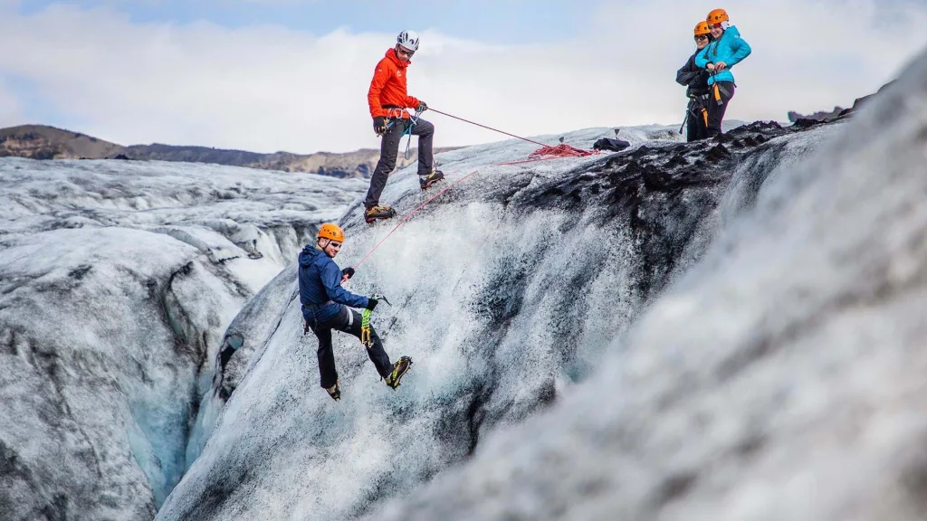
ice climbing iceland

Top ice climbing tour from Sólheimajökull run by www.mountainguides.is, 5% discount code: in our newsletter

9.2. Sólheimajökull glacier

The best glacier hikes in Iceland on the 2 smaller glaciers – Sólheimajökull and Skaftafell are being run by Icelandic Mountain Guides. This is a traditional Icelandic company with almost exclusively 5* reviews:

9.3. Skaftafell glacier

Skaftafell offers great opportunities for glacier hiking and once again Icelandic Mountain Guides run here their fabulous tours:

10. ATVs

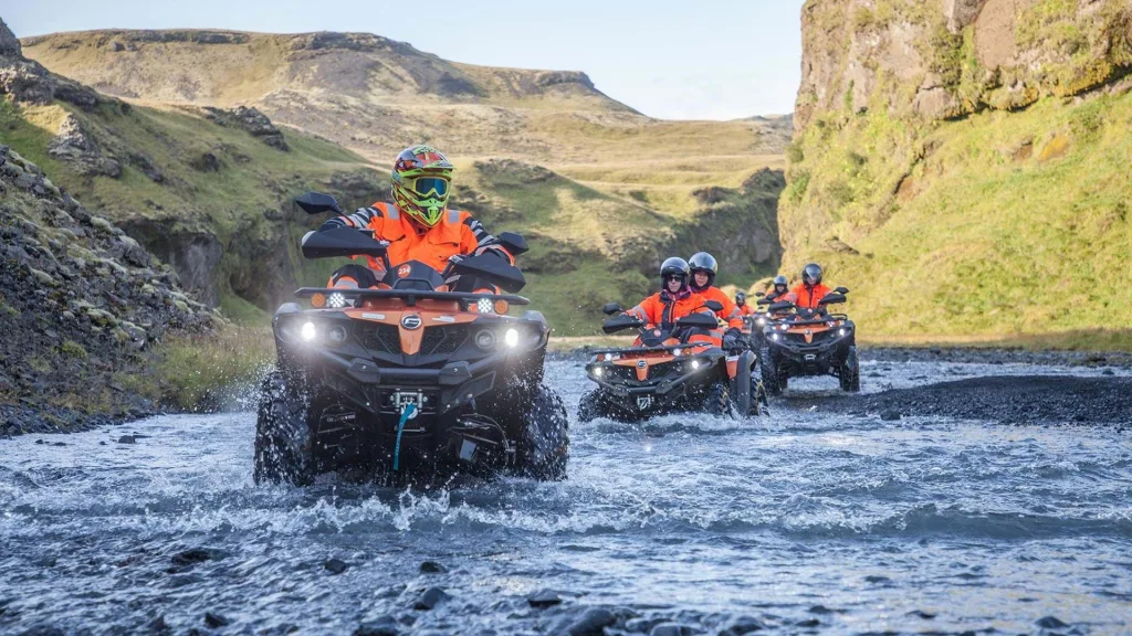
atv tours iceland reykjavik

ATV tours from Reykjavik

ATVs are one of the top summer tours in Iceland for adventure seekers. There are multiple great spots all over Iceland to enjoy ATVs or quad bikes. We picked the 3 most popular and most beautiful locations to try ATVs in Iceland. The first one is the vicinity of Reykjavik, the second is Vik with its marvelous black sand beach, and the third is the amazing Westman islands.

There are many different tour variants, some ATV tours are longer and some shorter. With some, you ride alone, with some in doubles. Some allow kids, some don’t. You need to check all these small details yourself. What we’ve done for you, however, is we picked the best ATV tours in Iceland in some of the most picturesque spots.

10.1. from Reykjavik

There are numerous hidden spots around Reykjavik that serve as a great base for Icelandic quad-bike tours. And hands-down the best local family company specializing solely in ATV and Buggy tours from Reykjavik is Safari Quads!

Be sure to try out at least one of their action-packed, once-in-a-lifetime rides! Our readers can also enjoy an exclusive 5% discount code: EPICICELAND24 on all Safari Quads tours!

10.2. from Vik

atv tours vik iceland

ATV tours from Vik

One of the most epic locations in Iceland to try ATVs is undoubtedly the black sand beach near Vik. If we had to pick the single best ATV tour in Iceland it would be this one:

10.3. from Westman islands

Similarly to the black sand beach, the Westman Islands are an amazing spot for ATVs. It’s not only a huge adventure and a thrilling experience, but it’s also a great way to explore the main Heimaey island:

11. Puffin tours

puffin tour from reykjavik

Puffin-watching tour from Reykjavik

Any list of the best summer tours in Iceland would be incomplete without a puffin tour. While you can definitely see puffins also when you drive your own car, it’s much more unique to observe puffins from a boat on the puffin boat tour.  There are several great spots for puffin boat tours around Iceland. Among the best are Húsavík Bay, the surroundings of the Westman islands, and small islands near Reykjavik. Below we picked the 3 best puffin tours in Iceland, according to reviews and our experience.

11.1. Puffin tour from Reykjavik

Can you see puffins in Reykjavik? Well, not directly in Reykjavik, but if you take a boat tour to nearby islands, you definitely can! The best time to see puffins in Iceland is between mid-April and mid-August, so be sure to book your spots during this time.

westman islands puffins storhofdi

Westman Islands puffin tour

11.2. Puffin tour from Westman islands

Westman islands together with the bay around Húsavík are some of the best spots to see puffins in Iceland. You can either drive around Westman islands and find puffins by hiking or you can take a boat tour around the islands, that will find puffins for you:

11.3. Puffin tour from Húsavík

The best whale and puffin-watching company in Iceland with the longest tradition is North Sailing. We highly recommend taking a combo tour of whale watching and puffin watching by North Sailing as this is a 5* reviews company with great and knowledgeable guides:

12. Snorkeling

troll silfra snorkelling classic

Silfra Snorkeling tour

Did you know you can actually snorkel between the two continents in Iceland? This is exactly what has become available in Silfra – a place where two different tectonic plates meet. Many visitors even say that snorkeling was their favorite tour in Iceland. While this is not our case, snorkeling in Iceland is undeniably an interesting and popular activity.

Below are the two best Silfra snorkeling tours in Iceland and the two top diving tours, operated by a clear no.1 snorkeling and diving tour operator in Iceland with 5* only reviews, Dive.is – PADI 5 Star Dive Center Iceland:

13. Kayaking

glacier lagoon kayaking tour south iceland

Glacier lagoon kayaking tour in south Iceland, 5% discount code: in our newsletter

The best kayaking tours in Iceland are paradoxically almost entirely hidden away from the tourist crowds. Everybody talks about snorkeling in Silfra and whale-watching in Reykjavik and that’s why these two aforementioned activities are already highly crowded. But have you heard about glacier lagoon kayaking? If not, it’s at least worth a thought!

14. Photo tours

iceland photo tours

The most amazing Photo tours in Iceland by IcePic Journeys. 10% discount code: EPICICELAND

Looking for professional Photo tours at amazing spots? Definitely check out IcePic Journeys, then! Our readers can enjoy a 10% discount on all their tours with the promo code: EPICICELAND.

Ice Pic Journeys it’s by far the best Icelandic photo tour company. They only have 5.0/5 reviews on Google, Tripadvisor, and Facebook as well. They specialize in Ice Cave and Glacier photo tours but also service amazing South Coast photo tours and Highlands photo sessions! See below the selection of our favorite ones:

15. Golden Circle tours

best golden circle tour iceland

Golden Circle tour

We usually advise against the Golden Circle, because this is where most of the visitors concentrate at. Nevertheless, the Golden Circle with Thingvellir national park is undeniably beautiful and easy to access. The Golden Circle tours are even up to this day the most popular tours in Iceland. We are getting questions on a daily basis asking “what is the best Golden Circle tour?” That’s why we include also this “must-see tour” in our list and we picked the 4 best Golden Circle tours in Iceland from our point of view:

16. Multi-Day tours

best multi day tours iceland

The best multi-day tours in Iceland are run by Nice Travel. 5% discount code: EPICICELAND (valid only for our newsletter subscribers)

If you don’t want to drive and/or you are a solo traveler in Iceland, the best multi-day tours in Iceland may be a good choice for you. The multi-day tours typically include all your accommodations, transfers, and attractions. Some parts of the multi-day tours may sometimes be optional or customizable according to your preferences. The biggest advantage of these kinds of tours is that you don’t have to care about anything. No planning and no worries.

Below we selected the multi-day tours in Iceland we believe are the best in terms of all important aspects. This includes but is not limited to the richness of the schedule, company reviews, quality of the tour guides, price, and group size. Nice Travel limits their tours to max 19 participants, and in reality, there will almost always be fewer attendees.

Codes are valid only for our newsletter subscribers.

17. Private tours

robert private tours

Our private guide Robert, contact us at [email protected] with a 10% discount code: EPICICELAND

Do you want a guide only for yourself? Do you have special wishes? Do you want your trip to be fully tailored to you? Take a private tour then!

Robert is our favorite local guide and a good friend of ours and we know him for a really long time. Besides, he is a real guiding gem! He will fulfill any wish you have at any time and ASAP.

Just write us to [email protected] with a 10% EPICICELAND promo code and we will give you the lowest possible price! 🙂

Best Family tours in Iceland

family whale watching tour iceland

Family whale-watching Húsavík, 10% discount code: EPICICELAND

Are you coming to Iceland with the kids? No worries, there are multiple great options for Iceland summer tours for families. The best summer family tours in Iceland definitely include:

  1. Whale-watching tours – try a traditional boat, rather than a speedboat
  2. Horse riding tours – check the age limit with a particular company, but age is often not any problem
  3. Family Rafting tours – from our feedback, kids love the family rafting
  4. Langjökull ice cave – this is one of the tours which even allows babies

Please always check the age limit for a particular tour. If you are unsure, contact the company, they are typically very responsive and speak good English. Everything is possible in Iceland if you ask nicely 🙂

Best Action tours in Iceland

iceland rafting

Viking rafting from Varmahlid, 10% discount code: EPICRAFTING2025

There’s no shortage of adventurous and action-packed tours in Iceland. The top tours in Iceland for adventure lovers include:

  1. Rafting tours – high level of adrenaline guaranteed
  2. ATV tours – the combination of high speed and magnificent surroundings
  3. Snowmobiling tours – you can even try special high-speed snowmobiling (5% discount code: EPICTRIP)
  4. Ice climbing and Glacier hike tours – for those who prefer action on the ice

Best Highlands tours in Iceland

iceland laugavegur trail hike

Icelandic Highlands

Highlands may be sometimes pretty difficult to navigate unless you have a super jeep and proper planning and experience. For the hardest-to-reach spots in Iceland or if you simply don’t feel like going on your own, we recommend the best highlands tours in Iceland:

  1. Super jeep tours – can take you ANYWHERE; we recommend e.g. Thorsmork
  2. Highlands Hiking tours – a lot of hidden gems you may miss when going on your own
  3. Glacier hiking tours – you have to take a guided tour for this unless you are a professional mountaineer

Should you book the tours in advance?

Yes, you definitely should book the tours in Iceland in advance. The most popular tours in the full summer or full winter season are often fully booked months in advance. We recommend booking the tours roughly 3 months in advance and more. This way you will be guaranteed a seat and should always be able to cancel/reschedule if anything unexpected happens.

The vast majority of companies offer free cancellation and/or rescheduling policies when you inform them enough in advance. Typically, you can cancel/reschedule for free up to 1, 2, or 3 days before departure. Some more expensive tours may require a deposit, which is normal and is, again, refundable when canceled/rescheduled enough in advance.

YOU MAY ALSO LIKE:

epic iceland facebook group ask questions or get inspired in our community

Posted by Igor in Top Places, 2 comments
Top 25 Places in the Highlands of Iceland

Top 25 Places in the Highlands of Iceland

When searching for the top places in the highlands of Iceland, you will often find the same 5 or 6 spots being listed all over again. We will take a different approach.

We have spent months over several years exploring Icelandic highlands and have personally been to all the spots we write about in this article. We’ve compiled this list of the 25 most amazing places in the highlands based on our own experience with lots of personal tips.

Highlands have a special place in our hearts. New hidden corners pop out each time we come back, which is why we love them so much. It’s scarce these days to find spots like these in a civilized and safe country, which Iceland undoubtedly is!

Map

1. Thórsmörk

thorsmork valahnjukur top view

Thórsmörk offers amazing hikes and is one of the best places in the Highlands of Iceland

Why go

If we had to pick the three most beautiful places in the Icelandic Highland, Thórsmörk would surely be among them. The Valley of Thor, or in Icelandic “Por”, is a one-of-its-kind hiking area full of incredible rivers and lush green canyons.

Thórsmörk is a hiker’s paradise and a dream destination for any highlands enthusiast seeking shelter from the crowds of typical touristy destinations.

How to get there

Getting to Thórsmörk is tricky and complicated. We wrote a detailed guide about Thórsmörk to help you plan your trip. You can go by bus (10% discount code: EPICICELAND), join a guided tour or drive there yourself.

10% discount code for the best local Thórsmörk super jeep tour from Hvolsvöllur: EPICICELAND10

In short, the highland road F249 leads to Thórsmörk. It contains several river crossings, which get bigger and bigger the further you drive into the valley. The most significant river crossing is the infamous Krossá River, and it should never be attempted without a guide.

It’s possible to reach Básar hut in Thórsmörk and also all the most beautiful spots by driving yourself if you follow the three rules below:

We can also take you to Þórsmörk on our fully tailored Epic Private tour. Just e-mail us at [email protected]!

Tip from a local

The three most photogenic spots in Thórsmörk we enjoyed the most are:

2. Askja

askja oskjuvatn viti

Askja

Why go

Askja is one of the most magical places in Iceland. It’s an old crater filled with crystal-clear and warm water where you can even bathe!

10% discount code for the best Askja super jeep tour from Akureyri: EPICICELAND

Askja is our favorite because the drive there and the visit to the Askja volcano genuinely feel like hiking on another planet. We wrote a detailed guide on visiting Askja to help you prepare for the trip.

How to get there

The drive to Askja is long but worth every hour. All routes involve crossing medium-sized rivers. The two most accessible options to reach Askja are:

  • Eastern route (slower, more versatile, and adventurous), via F-roads F905, F910, and F894.
  • Northern route (quicker, along beautiful Herdubreid volcano), via F-roads F88, F910, and F894.

Alternatively, you can take a super jeep tour to Askja from Akureyri.

This is a volcanic area. Have a quick chat with a ranger in Dreki before every trip to check the current seismic conditions. You can also give him a call in advance.

Tip from a local

You can hike down to the bottom of Askja Caldera on a nice day. The hike is short, steep, and slippery. Bring hiking poles to avoid any injuries. When swimming in Askja, follow the signs to avoid areas with dangerous geothermal activity.

3. Kerlingarfjöll

kerlingarfjoll hveradalir stairs

Kerlingarfjöll can rightly be marked as one of the top places in the Icelandic Highlands

Why go

Kerlingarfjöll is a must-see place in the highlands of Iceland because of its unique orange-colored soil. You will hardly find similarly picturesque hiking trails anywhere else. And that is not all Kerlingarfjöll has to offer!

The most famous part of Kerlingarfjöll is a geothermal area full of little hot springs called Hveradalir. You can take several different hikes from Hveradalir. All of them are amazingly beautiful, with pieces of snow contrasting the orange mountains even in summer.

There is also one hidden hot spring where you may soak yourself in with a view over a remote canyon. You can reach the hotpot via a 1-hour hike from the Kerlingarfjöll mountain resort.

How to get there

Kerlingarfjöll is one of the easiest-to-reach places in the highlands. Just take Road 35 and then an F-road F347. These roads have no river crossings, and they are typically accessible from June to October. Any 4wd car would be sufficient to drive these roads.

10% discount code for the great Kerlingarfjöll guided bus tour from Reykjavik: EPICICELAND24

The accessibility of Kerlingarfjöll will soon improve even further. The new luxurious Highland Base will open there in the summer of 2023, and the connecting roads will likely improve even more.

10% discount code for the best Kerlingarfjöll super jeep tour from Akureyri: EPICICELAND

Alternatively, you can also take a super jeep tour to Kerlingarfjöll from Akureyri or a guided tour to Kerlingarfjöll from Reykjavik.

Tip from a local

Kerlingarfjöll is often very foggy and rainy. If you want to enjoy it to the fullest, wait for a day with clear skies, you will not regret it! We visited the orange mountains several times and never had clear skies, so it will be challenging.

4. Langisjór

langisjór lake iceland

View over the Langisjór lake from the Sveinstindur trail

Why go

Lake Langisjór is one of the most beautiful lakes in Iceland. It is well hidden from any crowds deep in the Icelandic Highlands. Standing alone in total silence and observing the crystal-clear waters of Langisjór is almost a soul-healing experience.

There are also many amazing hikes and roads leading to and around Lake Langisjór, making it one of the best places in the highlands of Iceland. The most beautiful hike in the area is definitely a hike to the mountain Sveinstindur.

How to get there

The easiest way to reach Langisjór is to take an F-road F235. This is one of the easiest F-roads in Iceland, with only small river crossings. Moreover, the surrounding moon-like landscapes make it totally worth a drive!

All you need to know about How to Choose the Best Car for Iceland.

You need a medium-sized 4×4 car to reach Langisjór because the connecting road F208 is slightly harder to drive with medium river crossings.

There are also three alternative roads leading to Langisjór, or better said, dirt tracks. These are mainly for off-road enthusiasts, and all require a big 4×4 car or a super jeep. Their names are Skaelingar-Blautulón track, Faxasund track, and Botnlangalón track.

Don’t want to go on your own? We can take you on our Epic Langisjór Private tour! E-mail us your wishes at [email protected]!

Tip from a local

If you want the best view over the entire Langisjór area, hike Mt. Sveinstindur. The panoramic views from the summit of Sveinstindur on a nice day are unbelievable.

5. Maelifell

road maelifell volcano iceland

Maelifell volcano

Why go

Maelifell is Iceland’s most famous and picturesque volcano, and deservedly so! The otherworldly green volcano sits right in the middle of the black ash desert, making Maelifell one of the top places in the Icelandic Highlands.

Visiting Maelifell was one of the most surreal moments of all our trips around Iceland. The atmosphere surrounding the volcano is almost indescribable, and you have to experience it yourself!

How to get there

The journey to Maelifell is even more adventurous than hiking the volcano itself. We described it in our step-by-step guide to reaching Maelifell.

Discounts for our readers on Icelandic car rentals and Guided tours.

In short, you have several options. None of them is easy, and all require at least a sizeable 4wd car like Land Cruiser and involve crossing medium-sized rivers. The most popular routes include:

  • Southern route (the easiest), via road F232 as an out-and-back trip
  • Western route (the most beautiful), via roads F210 and/or F261
  • Eastern route via roads 210 and F210

We can also take you to Mælifell on our fully customized Private Maelifell tour.

Tip from a local

If you are an experienced hiker, you may try to hike all the way to the top of Maelifell. Beware, though; it’s a steep and slippery hike. Wait also for nice weather; the trek doesn’t make sense in a fog.

6. Landmannalaugar

landmannalaugar Grænihryggur hike iceland

Unbelievably colorful Landmannalaugar can’t miss among the top places in Icelandic Highland

Why go

The rainbow mountains of Landmannalaugar proudly belong to an exclusive club of the most impressive spots in the highland of Iceland.

If you want to see one of the most colorful places on earth, then take a hike in Landmannalaugar! Not only are the rainbow mountains astonishingly picturesque, they are also pretty safe to visit. There’s a campsite, Landmannalaugar hot spring, and you will also meet many fellow hikers.

There are several magnificent hikes of various difficulties and lengths in Landmannalaugar. If you are fit enough, we highly recommend hiking an Orange Mountain – Blue Mountain loop trail. When taking this trail, you will enjoy some of the best views in Landmannalaugar.

How to get there

You can take a bus (10% discount code: EPICICELAND), hop on a super jeep tour or drive there yourself. Roads to Landmannalaugar are open for tourist driving only in summer, typically from June until September. Super jeep tours can access Landmannalaugar almost all year round, though.

10% discount code for the best local Landmannalaugar super jeep tour from Hvolsvöllur: EPICICELAND10

There are three main routes leading to Landmannalaugar:

  • Northern route (the easiest), via roads 26, 208, and F224, small 4wd car required
  • Western route (the quickest), via roads 26, F225, and F224, medium 4wd car required
  • Southern route (the most beautiful), via roads F208 and F224, medium 4wd car required

10% discount code for the great Landmannalaugar guided bus tour from Reykjavik: EPICICELAND24

If you want to be alone and fully flexible, we can take you on an Epic Private Landmannalaugar tour!

Tip from a local

One day is enough to explore the most beautiful hikes in Landmannalaugar, like Bláhnúkur or Brennisteinsalda. However, if you want to go more off-the-beaten-path, go for two days. With two days, you will also have a higher chance of catching the nice weather with clear skies.

7. Thakgil

yellow hiking trail austurafrettur Þakgil iceland

Views from Thakgil hikes are one of its kind

Why go

Thakgil is a paradise for all hiking enthusiasts. You will find gigantic canyons, melting glaciers, hundreds of waterfalls, and lush green canyons almost instantaneously.

Together with Thórsmörk and Landmannalaugar, Thakgil is one of Iceland’s three must-see hiking areas. It is its unique canyon ecosystem you won’t find anywhere else in Iceland or even in the world!

Thakgil hikes are of various difficulties and lengths. Be sure to check the map of the Thakgil trails, as well as what you can expect. Avoid heavy rain or strong winds; they can make hiking uncomfortable and dangerous.

How to get there

Getting to Thakgil is very straightforward. There’s just one route leading there – Road 214 to Thakgil. The road is open only in summer, usually from June until September, and is very bumpy.

All you need to know about visiting Highlands in Iceland.

Technically, you can drive to Thakgil in any car. Given the bumpiness of the road, it’s advantageous to take a vehicle with higher ground clearance, though, for example, Dacia Duster, to avoid any car damage.

Tip from a local

If you can spend a whole day in Thakgil, we highly recommend hiking to the melting Huldujökull glacier. It’s a once-in-a-lifetime experience to see the glacier with your bare eyes! We suggest taking a yellow and red trail loop if you are a good hiker. It offers the most beautiful views over Thakgil.

8. Laki craters

laki crater hike

Mount Laki views at Laki craters are a must-see in the Highlands of Iceland

Why go

Fancy a volcano? What about more than ten volcanos? When visiting Laki, you will see even more!

Laki craters are an area full of many hundreds of years old volcanos and craters, which changed the history of Europe. These days they are luckily already covered with flourishing moss. You can become a part of this surreal scene if you visit this extraordinary place in the highlands.

Don’t forget to also stop by the spectacular Fagrifoss waterfall along the way and the fairy-tale-like Tjarnargigur Lake! We wrote a guide on all you need to know about Laki craters.

How to get there

You can get to Laki Craters by a proper 4wd car or take a guided super jeep tour. Two F-roads lead to Laki – F206 and F207. A medium-sized 4×4 car is a minimum, and a large 4×4 car is definitely advantageous.

How to rent a super jeep in Iceland?

Roads to Laki craters are slow, bumpy, and full of twists and turns. They are also remote, with sparse network coverage, and involve two river crossings.

You can also take a super jeep tour to Laki.

Tip from a local

The best viewpoint of Laki craters is from Mt. Laki. Don’t miss this spot on a clear day! The hike to Mt. Laki is short and a bit steep but very worth every step! Jaw-dropping 360° views will be your reward soon after you finish the climb.

9. Laugavallalaug

laugavallalaug highlands hot spring

Laugavallalaug hot waterfall spring in the eastern Icelandic Highlands

Why go

Laugavallalaug is one of the wildest hot springs in Iceland. It is actually a hot waterfall! This makes Laugavallalaug an unforgettable experience in the middle of the very remote corner of the Icelandic Highlands.

After a long drive to Lagavallalaug, you will be rewarded with the peaceful surroundings of a small rustling river and sheep gazing at you while you bathe in this otherwordly hotpot.

How to get there

You can get to Laugavallalaug by:

  • Roads 910 and F910 from the south or by
  • Roads 923 or 907 and then F910 from the north

For all F-roads leading to Laugavallalaug, you need to drive at least a small 4wd car.

The Ultimate List of all hot springs in Iceland.

Roads to Laugavallalaug are open and accessible to the public only in summer. Please find detailed info on getting to Laugavallalaug in our Icelandic hot springs guide.

Tip from a local

If you want to be alone at Laugavallalaug, try coming before 10 AM or after 7 PM. When walking from the outdoor changing room, you better take slippers or sandals; you will need to descend down a little hill.

10. Aldeyjarfoss

aldeyjarfoss waterfall iceland

Aldeyjarfoss waterfall

Why go

Aldeyjarfoss is, without a doubt, one of the best waterfalls in the highlands. Its basalt columns are shaped exactly like the cliffs at the famous black sand beach Reynisfjara.

This makes Aldeyjarfoss unique and picturesque, yet not that hard to reach! The major part of the journey to Aldeyjarfoss is a drive, and then it takes just a short hike everyone can make to reach the stunning scenery of the waterfall.

How to get there

The shortest way to reach Aldeyjarfoss is to start in the north near Fossholl and drive south via roads 842 and a short section of F26. Any 4wd car is sufficient for this drive.

The detailed List of 130+ Icelandic Waterfalls.

The second option is to take a long and dark road F26 from the south across entire Iceland. You need to drive a large 4×4 car and already have some experience with river crossings in Iceland to pass F26 safely.

10% discount code for the private Aldeyjarfoss super jeep tour from Akureyri: EPICICELAND

There’s also an option to take a private super jeep tour to Aldeyjarfoss. Our readers can enjoy a 10% discount on this tour as well as all tours by Star Travel with a discount code: EPICICELAND.

Tip from a local

The best times for photography at Aldeyjarfoss are during sunrise and sunset. The more cozy time out of these two is the sunset because you don’t have to get up crazily early.

11. Fjallabak nature reserve

F210 near alftavatn

Just driving the F-roads around Fjallabak Reserve is a once-in-a-lifetime experience

Why go

Fjallabak nature reserve is the name of the immense area in the southern highlands of Iceland. Besides many hidden spots, it also encompasses the famous Landmannalaugar.

Everybody knows about the rainbow mountains of Landmannalaugar, but did you know that tens of fabulously adventurous roads stretch across an entire Fjallabak park?

The most well-known ones are the F-roads F210, F261, or F233, but this is nowhere near the end of the list! Multiple wild and harsh dirt tracks like Hungurfit, Strútur, or Krakatindur also exist.

And why drive these difficult roads? Because you will feel like you are on the moon! There are countless hidden hills, canyons, waterfalls, and even hot springs everywhere around these roads.

How to get there

There are several roads leading to the Fjallabak nature reserve. Some examples include roads F208, F225, F210, or F261.

10% discount code for the Fjallabak super jeep tour from Hvolsvöllur: EPICICELAND10

These roads are no joke! They involve steep and narrow terrain and crossing medium-sized and big-sized rivers. We highly recommend driving at least a large 4×4 jeep around Fjallabak, ideally a super jeep. Alternatively, you can also take a Fjallabak super jeep tour.

If you want to be alone on tour, we can take you on an Epic Private Fjallabak tour; just email us at [email protected] 🙂

Tip from a local

If you want to explore Fjallabak fully, you will need several days. The area is vast, and all drives take a lot of time due to rough terrain.

12. Raudibotn

Rauðibotn waterfalls

Raudibotn waterfalls

Why go

Raudibotn is a tiny natural wonderland hidden in the middle of nowhere, deep in the highlands. The area features cute waterfalls, volcano craters, twisted river beds, and, most importantly – zero visitors!

How to get there

To reach Raudibotn, you can take an easy hike through a lush green valley that starts a few kilometers east of the famous Maelifell volcano. It takes about 3 hours as a roundtrip to complete.

The catch lies in getting to the trailhead. It’s a difficult drive. You can get to Raudibotn from the west or the east.

Roads F261 and F210 leading to Raudibotn from the west are two of the most beautiful Icelandic F-roads; however, they are tough. You have to cross several medium to big rivers. For that, you need a large 4×4 car or a super jeep.

Read about our visit to Raudibotn in detail.

You can reach Raudibotn also from the east, by road F210. This is the easiest way with only small to medium rivers involved and a medium-sized 4wd car required. But you can’t continue any further because both F210 west of Raudibotn and F233 east of Raudibotn contain river crossings that are dangerous for any smaller cars.

Tip from a local

Rent at least a Land Cruiser or a super jeep when visiting the highlands. It will give you the freedom to see much more and an increased safety in case of difficulties.

Afraid to go alone? No tours go to Rauðibotn, but we do! On our Epic private tours, just email us your wishes!

13. Eldgjá

eldgja gjatindur hike iceland

Happy me hiking to Gjátindur over Eldgjá canyon

Why go

Eldgjá Canyon is something like Silfra. Eldgjá is a more than 1000 years old fissure and chain of craters. Many Icelanders think this is one of the most beautiful places in the highlands.

You can take several hikes in Eldgjá. The shortest, easiest, and most popular one is a walk to Ófærufoss, one of the prettiest Icelandic waterfalls.

Read our guide on How to avoid crowds in Iceland.

You can also go for a longer hike to the peak of Gjátindur or continue even further towards Lake Langisjór. All these hikes offer scenic views making Eldgjá worth visiting.

How to get there

You can get to Eldgjá by F-roads F208 and F224 either from the north or from the south. Regardless of the way you choose, you need to cross medium-sized rivers on F208, and for that, you need at least a medium-sized 4wd car. Road F224 is very easy, then.

Tip from a local

After seeing all the other incredible places in the highlands, Eldgjá seemed a bit boring to us. However, a view of the Eldgjá fissure from above is an exception, and we recommend hiking for it. You can reach one of the best viewpoints halfway into the Gjátindur hike shortly after climbing up from the Eldgjá valley.

14. Raudufossar

raudufossar iceland

Rauðufossar, Raudfossar, or Raudafoss – all the different names for the same picturesque waterfall.

Why go

Raudufossar is an unbelievably colored orange waterfall not known to many visitors. It proudly belongs to the top places in the highlands of Iceland.

The hike to Raudufossar is simple and doesn’t require any special experience. You can take a shorter version of the trek, just to the bottom of the waterfall, in about 20 minutes one way.

Read in detail about our trip to Raudufossar.

There’s also an option to hike above the waterfall and continue deeper in the highlands towards the source of Raudufossar. It’s called Raudufossafjoll, and it features another orange waterfall! This part of the hike takes an additional 1 hour one way.

How to get there

Raudufossar trailhead and parking lot are located in the eastern part of the F-road F225. Landmannaleið, or F225, is one of the easiest F-roads in Iceland. In good weather, you can definitely drive it in any 4wd car in summer. Just don’t continue west from the parking lot via the Krakatindur track. It’s very precarious.

Tip from a local

Don’t get discouraged by bad weather! Raudufossar is one of those places you can also visit in the pouring rain, as we did. Moreover, if it rains, you will most likely be entirely alone.

15. Mulagljúfur Canyon

mulagljufur canyon hike iceland

Us hiking a Mulagljúfur canyon in September

Why go

Mulagljúfur Canyon is one of the most spectacular yet well-accessible Icelandic canyons. It takes about 3 hours to explore it on a beautiful hike fully. The hike leads along the western edge of the Mulagljúfur Canyon and offers breathtaking canyon views.

It’s an out-and-back hike suitable also for fit families and belongs to the most beautiful half-day hikes in the highlands. Please visit the canyon only in nice weather and ideally only in summer; otherwise, the trails might be dangerous.

All you need to know about car rental insurance in Iceland.

There are also two giant waterfalls in Mulagljúfur called Hangandifoss and Múlafoss. Hangandifoss can be easily seen from about the trail’s midpoint, and Múlafoss is hidden deeply in the canyon and can only be observed from a distance.

How to get there

Múlagljúfur Canyon trailhead is easy to reach and located just west of the Fjallsárlón glacier lagoon. A hard-to-be-seen gravel road leads to Múlagljúfur car park as a short detour from the ring road. It’s very bumpy, but you can slowly drive it in any car in summer.

Tip from a local

Múlagljúfur is one of the dream places for anyone flying a drone. Please check the current Icelandic drone flying regulations before flying one there.

16. Strútslaug

strutslaug hot spring iceland

Strútslaug hot spring deep in the Fjallabak highlands of Iceland

Why go

Strútslaug is most likely the least-known hot spring in Iceland. If you are looking for a totally remote hotpot bathing experience in the middle of nowhere, look no further!

There’s just one little caveat – Strútslaug is pretty hard to reach. Getting to Strútslaug involves a difficult drive followed by a 1.5-hour long hike.

Once you reach it, though, you will be rewarded with an authentic Icelandic natural experience. Don’t expect any changing rooms or hot spring stairs – you are out in the wild here!

How to get there

Regardless of the way you choose, you will need to cross several medium-to-big-sized rivers to reach the Strútslaug trailhead. To do that, you need to drive at minimum a large 4×4 car, ideally a super jeep.

Ultimate guide on How to cross rivers in Iceland.

The closest access point to Strútslaug is the end of the Strútur dirt track next to the Strútur hut. The Strútur dirt track starts just west of the popular Maelifell volcano. We wrote a detailed guide about visiting Strútslaug.

Tip from a local

Strútslaug can easily be visited also when it rains. The hiking trail is easy, and it’s a very enjoyable experience to soak up in the hot spring with rain pouring on your head!

17. Hornstrandir

how to visit hornstrandir iceland

Hornbjarg Horn cliffs in Hornstrandir, photo by Reinhold Seiz

Why go

If you are looking for a true wilderness, love long and rough hikes, and prefer being totally alone, then your no.1 destination in Iceland will be Hornstrandir.

Hornstrandir is one of the last places on earth with still untouched nature and yet within reach from populated areas of Iceland.

You’ve probably already seen the picture of the most famous spot in Hornstrandir – the pointy Hornbjarg cliffs right next to the ocean’s edge. Well, that is just one amazing spot. There are so many hidden corners in Hornstrandir; it’s even impossible to list them all!

How to get there

Hornstrandir is the most remote region in Iceland, with no roads. The only way to get to Hornstrandir is by ferry. And then your only mode of transportation will be your own feet.

Our guide on How to find nice weather in Iceland.

Ferry is running daily, only in summer, from the beginning of June until the end of August, from Ísafjörður to the following settlements in Hornstrandir: Adalvík, Hesteyri, Veidileysufjordur, Hornvík, Grunnavík, Fljótavík.

Be sure to book the ferry in advance and better reschedule later. The slots are limited and may be fully booked. Secondly, if you don’t make a reservation, the ferry may simply not stop at your spot!

Tip from a local

Prepare well for any trip to Hornstrandir longer than a day, and don’t go alone. Practice especially carrying a big heavy backpack (20kg / 45lb) in strong winds and rains on steep hiking trails. This will sooner or later happen in Hornstrandir, even in summer.

18. Fimmvörðuháls

fimmvorduhals hike highest point

One of the highest points of the Fimmvorduhals hike with stunning views

Why go

Fimmvörðuháls hike is considered by many to be the most beautiful 1-day hike in Iceland. And we can’t disagree, it’s surely one of the best places in the highlands.

Fimmvörðuháls is a long hike, and it’s not for beginners, but it will reward you with some of the best views Iceland has to offer.

It’s very versatile, with the first part full of countless lush green waterfalls called The Waterfall Way. What follows next is the otherworldly volcanic area of red-colored craters Magni and Móði. The last part, where you descend to Thórsmörk, then features the most stunning views of the Fimmvörðuháls hike.

How to get there

You can start the Fimmvörðuháls hike either at the southern end in Skógar or at the northern end in Thórsmörk.

Read our detailed Fimmvörðuháls hike guide.

The southern trailhead is very easy to reach, located right next to the famous Skógafoss waterfall.

On the other hand, the northern trailhead is located at the end of the treacherous F-road F249 in Thórsmörk. You need a large 4×4 car or a super jeep, good weather, and river-crossing skills to reach it. Or take a highland bus (10% discount code: EPICICELAND) to/from there, operated by 2 companies.

Tip from a local

Bring hiking poles. They are priceless on steep and slippery terrain. And plan a hike for a nice day. Trust me, you don’t want to hike Fimmvörðuháls on a rainy and windy day!

19. Stórurð

Stórurð hike east iceland

Stórurð hike in the highlands of east Iceland near Borgarfjörður eystri

Why go

Stórurð is a magical crystal blue-colored lake with huge stones sitting up in the mountains of Borgarfjörður Eystri. You will feel like being in a fantasy movie when visiting Stórurð.

Stórurð is an easy hike even for families and is a must-see in East Iceland. Several different trails lead to Stórurð, with the easiest one being the Njarðvík hiking trail.

We also wrote a list of the 15 Best summer guided tours in Iceland.

How to get there

Stórurð trailheads can easily be reached by any car; all the roads around are paved. You can park your car at each trailhead, whether it’s an easier Njarðvík trail or a more difficult Vatnsskarð trail.

Tip from a local

The hiking paths are typically snow-free from around early July until late September. You can hike Stórurð even if it rains lightly, but you better avoid fog. You can’t see the lake well when it’s too foggy.

20. Markarfljótsgljúfur

markarfljotsgljufur east viewpoint

East viewpoint of the otherworldly Markarfljótsgljúfur Canyon deep in the Icelandic Highland

Why go

Markarfljótsgljúfur Canyon is one of the most impressive canyons in Iceland that almost nobody knows about, entirely away from all the crowds.

Markarfljótsgljúfur is breathtakingly huge, and you can hike along its edge for as long as you wish. A mighty river carves its way through the bottom of the gorge.

How to get there

You can reach Markarfljótsgljúfur either from the west or the east and only in summer. All roads leading to the canyon are difficult highland roads and require at least a large 4×4 car.

The western viewpoint is easier to get to. You need to take a short but very rough detour east from the road F261.

We wrote a detailed guide on visiting Markarfljótsgljúfur canyon.

The eastern viewpoint offers the best views but is harder to drive to. Emstrur dirt track is steep and rough, and you should ideally drive it in a super jeep only.

Tip from a local

Don’t try to visit Markarfljótsgljúfur in a Dacia Duster; rent a proper and reliable 4×4 car. You may be the lucky one who made it here in the Duster, but you will most likely be a star of the rescue operation.

21. Kerlingarfjöll hot spring

kerlingarfjöll hot spring iceland

Bathing alone at Kerlingarfjöll hot spring

Why go

Kerlingarfjöll hot spring is one of the most stunning hot springs in Iceland. What makes it unique is its remote location tucked inside a scenic canyon. You can get here only by hiking, and you will often be alone.

The hike to the Kerlingarfjöll hot spring is a piece of cake and takes about 1 hour one way. Even the trek itself is worth your time because its surroundings are very picturesque. The pleasant hotpot dip at the end is just a free bonus.

How to get there

The hiking trail to the Kerlingarfjöll hot spring starts at the Kerlingarfjöll Mountain Resort, which has recently been renamed the Highland Base. The hike is well-marked.

We also wrote a detailed guide to Kerlingarfjöll.

In summer, you can get to the Kerlingarfjöll Highland Base by any 4wd car via roads 35 and F347.

Tip from a local

There’s no changing room next to the hot springs. Get ready for that, or simply don’t be shy. Don’t forget to bring a bag for a wet swimming suit on your way back.

22. Bláfjallafoss

f232 blafjallafoss waterfall

Bláfjallafoss waterfall on a highland F-road F232

Why go

Did you know that Bláfjallafoss is the only waterfall in Iceland you can actually drive through? This makes visiting Bláfjallafoss a once-in-a-lifetime experience.

Photographers love to take drone pictures of jeeps driving through the upper bank of the waterfall. It’s an amazingly beautiful and surreal scene that never gets old.

Be sure to read our one-of-its-kind list of all Icelandic F-roads.

How to get there

Bláfjallafoss is situated in the middle of the F-road F232. You need at least a medium-sized 4wd car to reach it and, most importantly, to cross the river/waterfall itself. The river crossing is very bumpy, and we advise you to only take a car with sufficient ground clearance here.

Tip from a local

You can hike down to the bottom of the waterfall to get the best views of the waterfall itself. This spot, however, is not the best for photographing cars passing through the waterfall. The best place for photography is from one of the banks or by drone.

23. Gjáin

gjain trail waterfall

Everything is smaller in Gjáin. Especially waterfalls. Tiny Highlands.

Why go

Gjáin is a cute little highland wonderland. It resembles a miniature of Iceland. There are many mini waterfalls, tiny valleys, and petite rock formations.

Gjáin is worth visiting on your way to Haifoss or towards Landmannalaugar, as it’s located nearby. You can easily explore Gjáin in less than half a day or even an hour if quick enough.

How to get there

You can drive to Gjáin in summer by gravel road 327. It’s a bumpy road where a car with higher ground clearance is advantageous. Still, you can come here in any car when going slowly and cautiously.

You can read more about our visit to Gjáin.

Tip from a local

Gjáin is a great family hiking spot because all its hiking trails are straightforward and short. It’s also a cool place to see when it rains for the same reasons.

24. Kverkfjöll

kverkfjoll hveradalur highland iceland

One of the least visited corners of the Highland of Iceland – Hveradalur in Kverkfjöll

Why go

Kverkfjöll is a very scarcely visited magnificent mountain range and glacier area south of Askja in eastern Iceland.

Kverkfjöll is also geothermally very rich and active, with several little hot springs spread all over the area.

You can explore Kverkfjöll exclusively by hiking. There are several hidden ice caves and hot springs. On a nice day, you will be able to see the panoramic views only very few visitors see in Iceland.

How to get there

The only way to reach Kverkfjöll is by driving several highland F-roads. You need to start on F910 and then take either a combination of the road F903 and F902 or drive just F902 directly to the Kverkfjöll lodge.

When is the best time to visit Iceland? Pros and Cons of every season.

The roads are open to foreign visitors only in summer.

Tip from a local

Kverkfjöll is full of glacier tongues with crevasses, so we highly recommend you take a guided tour of the area. In any case, always consult a ranger in a Kverkfjöll mountain hut before embarking on any hikes! Ideally, even a few days in advance.

25. Lónsöræfi

Lónsöræfi highlands iceland

Lónsöræfi Highlands by talented photographer Snorri Þór Tryggvason

Why go

Lónsöræfi is a colorful, hard-to-reach hiking area similar to Landmannalaugar, just totally out of sight of any foreign tourists.

There are many hiking trails in Lónsöræfi of various lengths and difficulties. Lónsöræfi is also popular among locals for multi-day hikes in the wilderness with stunning views.

The main caveat of visiting Lónsöræfi lies in a very challenging access road. This is the main reason why almost nobody tends to visit the area.

How to get there

The only way to reach the main Lónsöræfi hiking trail is to drive the mountain road F980. And the problem is that F980 is one of the hardest F-roads in Iceland, probably even the hardest.

We partially visited Lónsöræfi ourselves, but only a part of F980 up to Skyndidalsá river.

The main obstacle is a massive, unbridged Skyndidalsá river, which you must cross. The only way to do that is by driving a huge super jeep and, at the same time, having the exact knowledge of the optimal fording spot. Always leave this to locals!

Tip from a local

To arrange a river crossing transfer to Lónsöræfi, contact Stafafell Guesthouse or a tour company called South East Iceland.

epic iceland facebook group ask questions or get inspired in our community

Posted by Igor in Highlands, Top Places, 10 comments
Best Active Volcano Tours in Iceland – 2025 Eruption UPDATE January

Best Active Volcano Tours in Iceland – 2025 Eruption UPDATE January

The volcano in Iceland on the Reykjanes peninsula near Grindavik might be active again in 2025. We compiled the selection of the best volcano tours that are actively operating – in 2025.

Grindavik volcano is currently experiencing periods of “flowing lava” and periods of “pauses,” switching irregularly in between each other. This is expected to continue for a longer time. However, when the eruption with bursting lava is on, volcano helicopter tours are quickly selling out. This is the safest (and often the only) option to see the volcano.

As of January 2025, it’s forbidden to visit the eruption site on your own! The only way to see the active volcano is to take a HELICOPTER ERUPTION TOUR.

You can find the most up-to-date local eruption news stream on the RUV.is website.

Still, watch out for Safety Instructions when visiting the eruption site.

Here’s another great news source on the eruption.

Watch the live stream of the 2025 eruption here:

This website may contain affiliate links and we may earn a small commission at no extra cost to you. This helps us cover running costs of this website.

We will do our best to update the list and broaden this article, and apologize for any discrepancies which may occur because everything changes really quickly these days.

When in Iceland, be sure also to check out our hand-picked list of the best guided tours in Iceland.

Volcano Eruption Map

First of all, Sundhnúksgígar is NOT a tourist eruption! It’s big and may be dangerous. The only safe way to see the active volcano right now is to observe it from a safe distance from the bird’s eye viewpoint of a helicopter tour.

iceland volcano eruption map 2024

Iceland volcano eruption map 2024, source: https://en.vedur.is/about-imo/news/volcanic-unrest-grindavik

The town of Grindavik, the geothermal power plant in Svartsengi, and Blue lagoon are all in real threat because of the fissures and magma under the surface.

Unfortunately, many Grindavik residents have lost and will lose their homes because of this eruption. Please support them as much as you can and be thoughtful when it comes to discussing seeing the volcano. It may be a sensitive matter to many of them.

iceland volcano eruption map

Iceland volcano eruption map, source: https://www.vedur.is/

Active Volcano Tours – What to Expect

As of 2025 ONLY HELICOPTER tours are operating at Sundhnúksgígar. All hikes/roads/buses are strictly forbidden and not running!

The volcano and lava flow change every day, so it’s essential to adhere to all rules set by Icelandic Civil Protection office and follow all the advice on Icelandic SafeTravel website.

The same applies to toxic gases! If you don’t want to keep track of all the safety guidelines and yet you want to see this spectacular natural wonder, it’s best to take the guided tour.

Types of the Volcano Tours

litli hrutur volcano eruption iceland

The summer 2023 Reykjanes volcano eruption in Iceland

There are two types of tours based on the number of participants:

  • Group tours – typically 6 to 20 participants
  • Private tours – only you and your group

You can visit the volcano eruption on three different kinds of tours:

  • Hiking tours – best for budget travelers and the physically fit [NOT OPERATING NOW]
  • Helicopter tours – best and closest aerial view, the most expensive
  • Airplane tours – less expensive than helicopter, less flexible

Price of the Volcano Tours

volcano tours iceland 2023

This is how a view from a helicopter or an airplane volcano tour looked like

The cheapest hiking group tours are priced at around 80 USD to 150 USD per person. [NOT OPERATING NOW]

The private hiking tours typically cost about 1000 USD to 1500 USD per group. [NOT OPERATING NOW]

The helicopter tours range between 450 USD to 1200 USD per person based on the length of the tour.

What is Included in the Volcano Tours

reykjanes volcano eruption 2023 iceland

2023 eruption sight

A typical volcano hiking tour includes the following:

  • Reykjavik pickup with a driver (not for a Helicopter tour!)
  • An experienced guide
  • Free cancellation up to 24 hours before the trip

A typical volcano tour does NOT include the following:

  • Shoes, clothes, or any gear (no special is required, though)
  • Food, water, snacks

There are exceptions, though, and almost always, there is an option to buy or hire anything you need, so don’t be afraid 🙂

Best Volcano Tours in 2025

Without further ado, below are the highest quality and best price-to-value guided volcano tours with top reviews only:

1. Helicopter Tour by GlacierHeli

best volcano helicopter tour iceland

Best Volcano Helicopter tours in Iceland. You can use a 5% discount code: EPICICELAND

We think the best currently available 2025 volcano helicopter tour is a 45-minute-long tour by GlacierHeli. Why?

  • This is one of the cheapest tours! A seat with our discount code costs as low as 400eur!
  • GlacierHeli is the only company with great reviews that still has free slots available! Most of the other tours are fully booked.
  • They have flights running every 30 minutes from 8:30 until 19:00
  • You can easily book online and use our 5% discount code: EPICICELAND

This is an eruption-only tour, so you will just fly over the, or near the volcano and back.

You will be flying as close to an eruption as possible and see it from various angles. The tour departs from Reykjavik. There’s a maximum of 5 passengers on each tour.

2. Helicopter Tour by Atlantsflug

iceland volcano helicopter tour 2023

View from a 2023 Volcano Helicopter tour

Another great helicopter volcano tour in Iceland from Reykjavik is a tour by Atlantsflug.

The tour takes 40 minutes to complete and is again just the dedicated volcano helicopter tour, taking up to 5 travelers on board.

3. Helicopter Tours by Nordurflug

volcano helicopter tour iceland 2023

Best Helicopter tours in general in Iceland are run by Nordurflug. 5% discount code on all tours: EPICICELAND

Hands down, the best helicopter tour company in Iceland is Nordurflug. They are running various volcano helicopter tours!

Our readers can use an exclusive 5% discount code on all tours by Nordurflug: EPICICELAND

The dedicated Volcano Helicopter tour by Nordurflug is one of the best, if not the best at all!

4. Airplane Volcano Tour by Myflug

airplane volcano tour iceland 2023

Best airplane volcano tour in 2023

Looking for the cheapest flight tour to see the eruption? You might want to check out the volcano airplane tour by Myflug.

The airplane tour is roughly 30% cheaper than helicopter flights, but it can’t fly as close as helicopters.

Nevertheless, this is the best currently available airplane tour and departs four times a day. The flight duration is about 1 hour.

5. Cheap Volcano Hiking Tour by David the Guide

volcano iceland hiking tour

Sundhnúksgígar Volcano Hiking tour 2023

[NOT OPERATING YET! Wait once the eruption calms down and officials assess the situation!]

This was one of the first tours that will take you directly to the eruption site of Litli-Hrútur, “The Little Ram”!

This is a HARD level hike. It is a 20km round-trip, i.e., about 8-10 hours of hiking. It is suitable for ages 14 and older and those comfortable hiking long distances with difficult terrain.

The tour provides blankets and hot chocolate/tea. Ponchos and Hiking Boots are available for rental if asked for in advance. All participants are REQUIRED to have good, sturdy hiking shoes, plenty of water, and food for this tour.

Pickup in Reykjavik area can be added to the tour.

6. Big Group Volcano Hiking Tour by Troll Expeditions

hiking volcano tour iceland

A Difficult Hiking Volcano tour to the Sundhnúksgígar eruption site

[NOT OPERATING YET! Wait once the eruption calms down and officials assess the situation!]

This hike up to Litli Hrutur Active Volcano was quite hard. You need to be able to walk up to 9km each way, but you will enjoy unbelievable views of lava fields and an ongoing eruption.

Once you’re at the site of the volcano, you will witness how those lava fields were formed, as you can see new lava spewing and flowing.

While you will get to spend some time by this natural wonder, the tour guide will also find a good and safe spot to enjoy the Icelandic chocolate, hraun – which stands for “lava”. Please make sure to bring enough snacks and water.

7. Private Volcano Hiking Tour

private hiking volcano tour iceland

Private Hiking tour to an active Sundhnúksgígar volcano

[NOT OPERATING YET! Wait once the eruption calms down and officials assess the situation!]

This was an exclusive private tour to the eruption site led by an expert guide.

You will be guaranteed to have the guide all for yourself, and the pace of the tour will be entirely adjusted to your needs.

The guide will take you as close to the mesmerizing lava flows as possible. You will experience the thrill of seeing a newborn volcano in action. You will learn about the geological forces at play and gain a deeper understanding of Iceland’s volcanic history.

The tour includes a pickup in Reykjavik area.

8. Volcano Transfer from Reykjavik

reykjavik volcano transfer

Roundtrip transfers between Reykjavik and Volcano Eruption site

[NOT OPERATING YET! Wait once the eruption calms down and officials assess the situation!]

Do you just need a transfer from Reykjavik to the Litli-Hrútur Volcano eruption site and back? Then your best option would be to book a transfer only.

This is the cheapest way to experience a volcano in Iceland in 2023.

A round-trip eruption transfer costs just about 50 USD and is running 3 times a day!

Eruption Safety Tips and Current Info

iceland volcano 2023 eruption night view

This is how the 2023 eruption in Iceland began.

  • The best Icelandic source for up-to-date safety instructions about the volcanic eruption is the SafeTravel website
  • Always watch out also for the Icelandic weather forecast. Don’t go near the volcano in heavy rain or heavy winds.
  • Under no circumstances get close to lava! Be it black lava or red lava. It can easily kill you or injure you!
  • Lava is not the only danger. So are the poisonous volcanic gases! Please follow closely any warnings regarding these gases!
  • Here’s a great article on the eruption by the official Icelandic Tourism Agency

FAQ

best active volcano tours iceland 2023

A picture from an amazing volcano helicopter tour

Here we will be adding the most common questions and answers on the 2025 Reykjanes volcano eruption.

What is the Hiking Time to the Eruption Site?

No hiking is allowed yet!

When is the Best Time to See the Volcano?

Daylight time, as well as nighttime, are both fascinating for experiencing the volcanic eruption. If you have the opportunity, go see the volcano during the day and also during the night!

Should I Book in Advance?

Book the tours as soon as possible! They can quickly sell out for an entire summer. Iceland does not have as many tour operators and guides as tourists! You may always reschedule or cancel within the cancellation policy of a particular tour company.

Is the Eruption Safe to Visit?

Potentially poisonous and dangerous volcanic gases have been detected at the eruption site. Moreover, new and new fissures can open anywhere around the volcano. Everyone hiking around the area has to do it entirely at his own risk! The safest way to experience the active volcano as of now is by helicopter tours.

How Long Will the Eruption Last?

Nobody can tell for sure how long the eruption will last. The eruption in August 2023 lasted less than three weeks, in 2022 also for about three weeks, and the eruption in 2021 for about 6 months.

Are the Volcano Tours Worth the Money?

Most of the travelers we’ve met say that helicopter and airplane tours of the volcano they took were totally worth the money. Seeing the erupting volcano and flowing lava is a once-in-a-lifetime experience!

epic iceland facebook group ask questions or get inspired in our community

Posted by Igor in Top Places, 4 comments
List of all Waterfalls

List of all Waterfalls

We made a list of more than 130 most beautiful waterfalls in Iceland. This is of course nowhere near the list of all, because there are thousands of them. Nevertheless, we believe that our detailed guide to waterfalls in Iceland covers all you need to know about famous Icelandic waterfalls. We hope it will help you choose your favorite waterfalls to see in Iceland and plan your trip.

All the waterfalls in this article are accessible to visitors. Many of them easily, some of them not. We list the exact location of every waterfall, its photo, its height, and if a waterfall is accessible in winter. If a hike to a waterfall is necessary, we include all info about the hike – distance, difficulty, and hiking trail itself. Importantly, we also describe what type of car you need to reach every single waterfall, or in Icelandic, “foss”.

Note: We will be adding even more waterfalls. Please, if you know of any beautiful waterfall we have not covered yet, send us your picture and waterfall info and we will give you all the credit for it (and a bottle of wine when we meet in person)!

Contents

Map of waterfalls in Iceland

Below is the map of more than 500 waterfalls in Iceland, including 130 most beautiful waterfalls:


All the GPS points on this map are under strict copyright and are being tracked for an illegal use. You can’t copy any content without our consent.

Green = easy in summer, easy in winter
Red = easy in summer, harder in winter
Black = harder in summer, hard in winter
Grey = smaller or lesser-known waterfalls

The tallest waterfalls

The tallest waterfalls in Iceland are Morsárfoss (235m), Glymur (198m), Strútsfoss (175m), Prestagilsfoss (160m), and Stigafoss (137m). Various sources state various waterfall heights. We combined multiple sources and averaged them to arrive at our ranking. It’s interesting to note that out of the 5 tallest Icelandic waterfalls, only Glymur is well-known and highly visited.
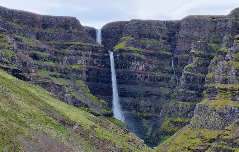
Strútsfoss waterfall Iceland

Strútsfoss waterfall (click to enlarge).

The 10 highest waterfalls in Iceland:

  1. Morsárfoss (235m / 770ft)
  2. Glymur (198m / 650ft)
  3. Strútsfoss (175m / 575ft)
  4. Prestagilsfoss (160m / 525ft)
  5. Stigafoss (137m / 450ft)
  6. Hengifoss (128m / 420ft)
  7. Granni (127m / 120ft)
  8. Hangandifoss (123m / 405ft)
  9. Háifoss (121m / 400ft)
  10. Múlafoss (101m / 330ft)

The biggest waterfalls

The biggest waterfalls in Iceland by volume are Urriðafoss, Dettifoss, Hafragilsfoss, Selfoss, and Goðafoss. Measuring volume is tricky and there are scarce data. The volume of the waterfalls varies seasonally and also in time. This means that any list of the largest Icelandic waterfalls can’t be entirely precise. Nevertheless, all these waterfalls are definitely big.
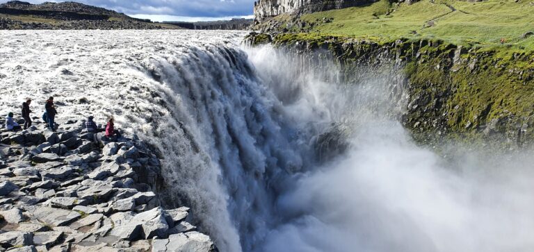
tourists at Dettifoss

Dettifoss

The 10 biggest waterfalls in Iceland by volume:

  1. Urriðafoss (350-400 m3/sec)
  2. Dettifoss (110-280 m3/sec)
  3. Hafragilsfoss (100-270 m3/sec)
  4. Selfoss (100-270 m3/sec)
  5. Gullfoss (100 m3/sec)
  6. Goðafoss (40-120 m3/sec)
  7. Aldeyjarfoss (20-100 m3/sec)
  8. Faxafoss (38 m3/sec)
  9. Kirkjufoss (20-50 m3/sec)
  10. Búðarhálsfoss (Dynkur) (20-50 m3/sec)

The widest waterfalls

The widest waterfalls in Iceland are Selfoss (400m), Urriðafoss (230m), Hraunfossár (220m), Gullfoss (180m), and Dettifoss (170m). In summer all of these waterfalls are easily accessible and we highly recommend visiting them, because they are all spectacular. Urriðafoss, Hraunfossár, and Gullfoss are also easy to visit in winter. To visit Dettifoss and Selfoss in winter you need a big 4wd car and proper winter hiking gear like crampons.
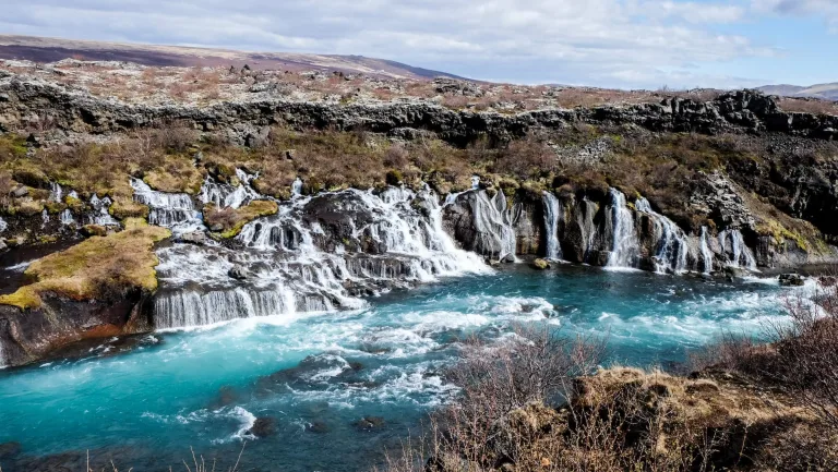
hraunfossar waterfall iceland

Hraunfossár

The 10 widest waterfalls in Iceland are:

  1. Selfoss (400m / 1300ft)
  2. Urriðafoss (230m / 750ft)
  3. Hraunfossár (220m / 720ft)
  4. Gullfoss (180m / 590ft)
  5. Dettifoss (170m / 560ft)
  6. Goðafoss (120m / 390ft)
  7. Tungnaárfellsfoss (100m / 330ft)
  8. Holmsárfoss (100m / 330ft)
  9. Faxafoss (90m / 300ft)
  10. Hafragilsfoss (90m / 300ft)

The most popular waterfalls

The most popular waterfalls in Iceland are Gullfoss, Seljalandsfoss, Skógafoss, Gljúfrabúi, and Dettifoss. Most of these waterfalls are located around the easily accessible south coast. These are not only the most visited Icelandic waterfalls but also the most visited places in entire Iceland. These waterfalls are very touristy and in full season you may meet tens of tourist buses there. To enjoy them to the fullest, it’s best to arrive at off-peak hours or during a shoulder season.
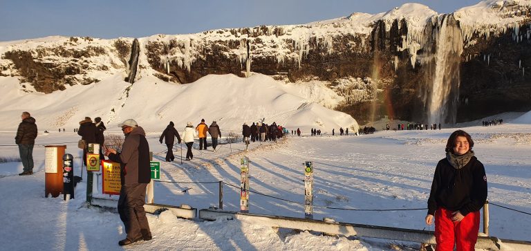
seljalandsfoss tourists

Tourists near Seljalandsfoss in February

The 10 most popular waterfalls in Iceland:

  1. Gullfoss
  2. Seljalandsfoss
  3. Skógafoss
  4. Gljúfrabúi
  5. Dettifoss
  6. Kirkjufellsfoss
  7. Goðafoss
  8. Bruárfoss
  9. Hengifoss
  10. Hraunfossar

The most beautiful waterfalls

The most beautiful waterfalls in Iceland are said to be Dettifoss, Skógafoss, Seljalandsfoss, Dynjandi, and Gljúfrabúi. This list is of course highly subjective and everyone has to choose his own favorite waterfall. Some prefer big waterfalls, some prefer remote waterfalls. This list is a blend of all waterfalls the most frequently referred to as the most beautiful ones.

Dettifoss is said to be the most beautiful because it’s one of the biggest, Skógafoss because it’s big and in picturesque surroundings, and Seljalandsfoss because you can walk behind it in summer. Dynjandi is probably the prettiest waterfall in Westfjords, Gljúfrabúi is uniquely hidden in a ravine, Aldeyjarfoss in the highlands, and Fagrifoss on a way to Laki craters. Bruárfoss has the bluest water, Raudufossar is fully covered in orange and Ófærufoss is the highlight of the Eldgjá reserve.
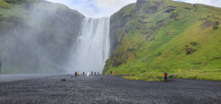
Bottom part of Skógafoss

Skógafoss waterfall

The 10 most beautiful waterfalls in Iceland:

  1. Dettifoss
  2. Skógafoss
  3. Seljalandsfoss
  4. Dynjandi
  5. Gljúfrabúi
  6. Aldeyjarfoss
  7. Fagrifoss
  8. Bruárfoss
  9. Raudufossar
  10. Ófærufoss

The most hidden waterfalls

The most hidden waterfalls in Iceland are Drifandisfoss, Nýifoss, Núpsárfoss, Bolugil, and Möngufoss. All of these are among the most remote Icelandic waterfalls, yet still accessible and amazingly beautiful. It is of course impossible to exactly tell which waterfall is the most hidden one, but this list should give a good overview of such waterfalls.

Prepare well when visiting the hidden Icelandic waterfalls. Most of them are hard to access and hidden in the highlands. You either need a proper car or proper hiking gear, or both. You should also visit them only in good weather conditions. That being said, there are nearly as many undiscovered waterfalls in Iceland as those that are already discovered. This means there’s still a huge room for exploration and adventure.
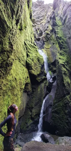
Stakkholtsgjáfoss waterfall iceland

Stakkholtsgjáfoss

The 10 most hidden waterfalls in Iceland:

  1. Drifandisfoss
  2. Nýifoss
  3. Núpsárfoss
  4. Bolugil
  5. Möngufoss
  6. Bergárfoss
  7. Axlafoss
  8. Múlafoss
  9. Blafjállafoss
  10. Stakkholtsgjáfoss

FAQ

Below are the most frequently asked questions about Icelandic waterfalls with up-to-date answers.

How many waterfalls does Iceland have?

There are thousands of different waterfalls in Iceland. If someone counted also all the sub-waterfalls the number can easily grow to tens of thousands. Most of the waterfalls in Iceland have actually not been discovered yet. They are hidden in uninhabited and remote parts of Iceland, often referred to as the highlands.

Which Iceland waterfall can you walk behind?

You can walk behind 4 Icelandic waterfallsSeljalandsfoss, Kvernufoss, Selvallafoss, and Skútafoss. The most famous waterfall you can walk behind in Iceland is Seljalandsfoss. Most of the sources wrongly state that this is the only waterfall you can walk behind. This is incorrect information. You can also walk behind Laugavallalaug, but it’s so small it doesn’t count.

When walking behind the waterfalls, please take special care. The terrain may be slippery and dangerous. Never do this in snowy or icy conditions. Typically you can walk behind the waterfalls in Iceland only in summer.

Is there a valley of waterfalls in Iceland?

There are 3 well-known waterfall valleys in Iceland:
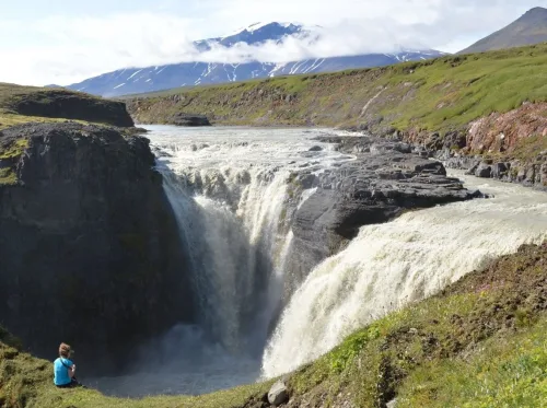
Kirkjufoss waterfall iceland

Kirkjufoss, part of the hidden waterfall circle in East Highlands

Are Icelandic waterfalls free?

All waterfalls in Iceland are free to visit. The only thing you pay for is the parking. Parking is paid only at some of the most popular waterfalls, like Seljalandsfoss or Kirkjufellsfoss. There are no opening hours for the waterfalls in Iceland. You may visit them anytime you want. Just bear in mind, a visit may be dangerous in the dark in winter.

Are Icelandic waterfalls accessible in winter?

Waterfalls situated near the main roads are usually well-accessible in winter. On the other hand, the waterfalls located in the highlands or at more remote places may not be accessible at all. For each waterfall, we list below whether you can see it in winter easily, hardly, or not at all. Here you can also the list of all waterfalls we visited in winter.

List of all waterfalls – Legend

Road accessible by = what type of car you need to reach the car park or the beginning of the hiking trail for every waterfall

Hiking time and distance = the average one-way hiking time and distance from the nearest car park in summer

Hiking difficulty = easy – no/short hikes, moderate – more hiking, difficult – long and/or difficult hike

Trail in winter = typical winter trail conditions (November-April), when there’s no storm or weather alert

* = an asterisk means conditions vary a lot according to weather/snow

Æðarfossar
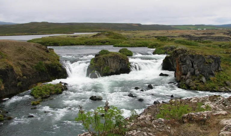
Æðarfossar waterfall Iceland

Æðarfossar waterfall (click to enlarge). Photo by Bromr, CCM license. Source link.

Location: North, see the map of Aedarfossar
Height: 3m (10ft)
Road accessible by: 2wd car in summer, 4wd car/super jeep in winter
Hiking time: next to the road/parking
Hiking distance: 50m* (60yd*)
Hiking difficulty: easy
Trail in winter: easily accessible*
Trail link:

Ægissíðufoss

Ægissíðufoss waterfall Iceland

Ægissíðufoss waterfall (click to enlarge). Source link.

Location: Southwest, see the map of Aegissidufoss
Height: 3m (10ft)
Road accessible by: 2wd car
Hiking time: next to the road/parking
Hiking distance: 50m (60yd)
Hiking difficulty: easy
Trail in winter: easily accessible
Trail link:

Aldeyjarfoss

Aldeyjarfoss waterfall Iceland

Aldeyjarfoss waterfall (click to enlarge).

Location: North Highlands, see the map of Aldeyjarfoss
Height: 20m (66ft)
Road accessible by: 4wd car in summer (F-road), super jeep/inaccessible in winter
Hiking time: 5 minutes
Hiking distance: 300m (330yd)
Hiking difficulty: easy
Trail in winter: hardly/inaccessible
Trail link: Aldeyjarfoss hiking trail

Árbæjarfoss
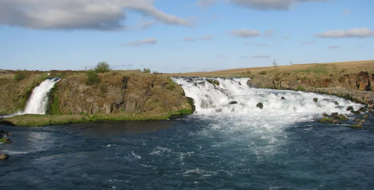
Árbæjarfoss waterfall iceland

Árbæjarfoss (click to enlarge). Photo by Bromr, CCM license. Source link.

Location: Southwest, see the map of Arbaejarfoss
Height: 10m (33ft)
Road accessible by: 2wd car
Hiking time: next to the road/parking
Hiking distance: 50m (60yd)
Hiking difficulty: easy
Trail in winter: easily accessible
Trail link:

Axlafoss

axlafoss waterfall iceland

Axlafoss (click to enlarge)

Location: South Highlands, see the map of Axlafoss
Height: 7m (22ft)
Road accessible by: 4wd car in summer (F-road), super jeep/inaccessible in winter
Hiking time: next to the road/parking
Hiking distance: 50m (60yd)
Hiking difficulty: easy
Trail in winter: hardly/inaccessible
Trail link:

Bæjarfoss

Bæjarfoss waterfall Iceland

Bæjarfoss waterfall (click to enlarge).

Location: Westfjords, see the map of Baejarfoss
Height: 6m (20ft)
Road accessible by: 2wd car in summer, 4wd car in winter
Hiking time: next to the road/parking*
Hiking distance: 50m (60yd)
Hiking difficulty: easy
Trail in winter: snowy/icy but accessible
Trail link: Baejarfoss hiking trail
Our experience: Baejarfoss visit

Bárðarfoss
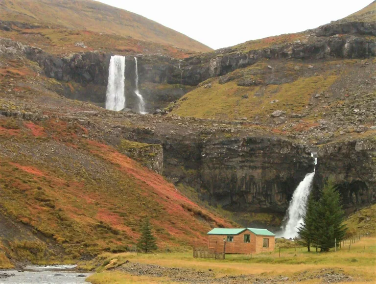
Bárðarfoss waterfall Iceland

Bárðarfoss waterfall (click to enlarge). Photo by Bromr, CCM license. Source link.

Location: West, see the map of Bardarfoss
Height: 8m (26ft)
Road accessible by: 2wd car in summer, better 4wd in winter*
Hiking time: 2 minutes
Hiking distance: 50m (60yd)
Hiking difficulty: easy
Trail in winter: muddy/snowy/icy but accessible
Trail link:

Barnafoss

Barnafoss waterfall Iceland

Barnafoss waterfall (click to enlarge).

Location: West, see the map of Barnafoss
Height: 5m (16ft)
Road accessible by: 2wd car in summer, better 4wd car in winter
Hiking time: 5 minutes
Hiking distance: 300m (330yd)
Hiking difficulty: easy
Trail in winter: easily accessible
Trail link: Barnafoss hiking trail

Bergárfoss
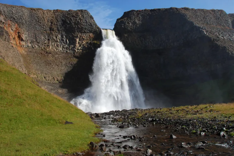
Bergárfoss waterfall Iceland

Bergárfoss waterfall (click to enlarge). Photo by Hörður Kristinsson, CCM license. Source link.

Location: Northwest, see the map of Bergarfoss
Height: 40m (131ft)
Road accessible by: 4wd car in summer (F-road), 4wd car/super jeep in winter*
Hiking time: 20 minutes
Hiking distance: 1km (0,6mi)
Hiking difficulty: moderate
Trail in winter: snowy/icy but accessible
Trail link:

Bjarnarfoss

Bjarnarfoss waterfall Iceland

Bjarnarfoss waterfall (click to enlarge).

Location: Snaefellsnes, see the map of Bjarnarfoss
Height: 80m (262ft)
Road accessible by: 2wd car in summer, better 4wd car in winter
Hiking time: 15 minutes
Hiking distance: 500m (0,3mi)
Hiking difficulty: easy
Trail in winter: snowy/icy but accessible
Trail link: Bjarnarfoss hiking trail

Blafjállafoss
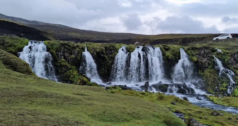
Blafjállafoss waterfall Iceland

Blafjállafoss waterfall (click to enlarge).

Location: South Highlands, see the map of Blafjallafoss
Height: 5m (16ft)
Road accessible by: 4wd car in summer (F-road), super jeep/inaccessible in winter
Hiking time: next to the road/parking
Hiking distance: 50m (60yd)
Hiking difficulty: easy
Trail in winter: hardly/inaccessible
Trail link:

Bolugil

Bolugil waterfall Iceland

Bolugil waterfall (click to enlarge). Photo by roquenval, CCM license. Source link.

Location: North, see the map of Bolugil
Height: 140m (459ft)
Road accessible by: 2wd car in summer / better 4wd car in winter*
Hiking time: 15 minutes
Hiking distance: 600m (0,4mi)
Hiking difficulty: moderate
Trail in winter: snowy/icy but accessible
Trail link: Bolugil hiking trail

Brúarfoss
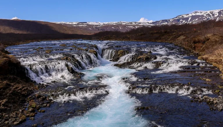
Brúarfoss waterfall Iceland

Brúarfoss waterfall (click to enlarge).

Location: West, see the map of Bruarfoss
Height: 5m (16ft)
Road accessible by: 2wd car
Hiking time: 40-60 minutes
Hiking distance: 3,5km (2,2mi)
Hiking difficulty: moderate
Trail in winter: snowy/icy but accessible
Trail link: Bruarfoss hiking trail

Búðarárfoss

Búðarárfoss waterfall Iceland

Búðarárfoss waterfall (click to enlarge). Source link.

Location: East, see the map of Budararfoss
Height: 12m (39ft)
Road accessible by: 2wd car in summer, 4wd car in winter*
Hiking time: next to the road/parking
Hiking distance: 50m* (60yd*)
Hiking difficulty: easy
Trail in winter: snowy/icy but accessible
Trail link:

Búðareyrarfoss

Búðareyrarfoss waterfall Iceland

Búðareyrarfoss waterfall (click to enlarge). Photo by Joe deSousa, CCM license. Source link.

Location: East, see the map of Budareyrarfoss
Height: 60m (197ft)
Road accessible by: 2wd car in summer, better 4wd car in winter
Hiking time: 5-10 minutes
Hiking distance: 300m (330yd)
Hiking difficulty: easy
Trail in winter: snowy/icy but accessible
Trail link:

Búðarhálsfoss (Dynkur)

Búðarhálsfoss (Dynkur) waterfall Iceland

Búðarhálsfoss (Dynkur) waterfall (click to enlarge). Source link.

Location: Central Highlands, see the map of Budarhalsfoss dynkur
Height: 50m (164ft)
Road accessible by: 4wd car in summer, super jeep/inaccessible in winter
Hiking time: 20-30 minutes
Hiking distance: 1,5km (0,9mi)
Hiking difficulty: moderate
Trail in winter: hardly/inaccessible
Trail link:

Bunárfoss

Bunárfoss waterfall Iceland

Bunárfoss waterfall (click to enlarge).

Location: Westfjords, see the map of Bunarfoss
Height: 80m (262ft)
Road accessible by: 2wd car in summer, 4wd car in winter
Hiking time: 15 minutes
Hiking distance: 400m (440yd)
Hiking difficulty: easy
Trail in winter: snowy/icy but accessible
Trail link: Bunarfoss hiking trail

Dettifoss

Dettifoss waterfall Iceland

Dettifoss waterfall (click to enlarge).

Location: Northeast, see the map of Dettifoss
Height: 44m (144ft)
Road accessible by: 2wd car in summer, 4wd car/super jeep winter*
Hiking time: 15 minutes
Hiking distance: 600m (0,4mi)
Hiking difficulty: moderate
Trail in winter: snowy/icy but accessible
Trail link: Dettifoss hiking trail
Our experience: Dettifoss visit

Djúpagilsfoss
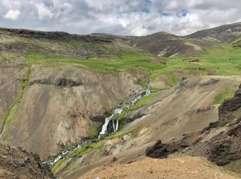
Djúpagilsfoss waterfall Iceland

Djúpagilsfoss waterfall (click to enlarge).

Location: Southwest, see the map of Djupagilsfoss
Height: 40m (131ft)
Road accessible by: 2wd car
Hiking time: 1,5-2 hours
Hiking distance: 5km (3,1mi)
Hiking difficulty: moderate
Trail in winter: snowy/icy but accessible
Trail link: Djupagilsfoss hiking trail

Djúpavíkurfoss
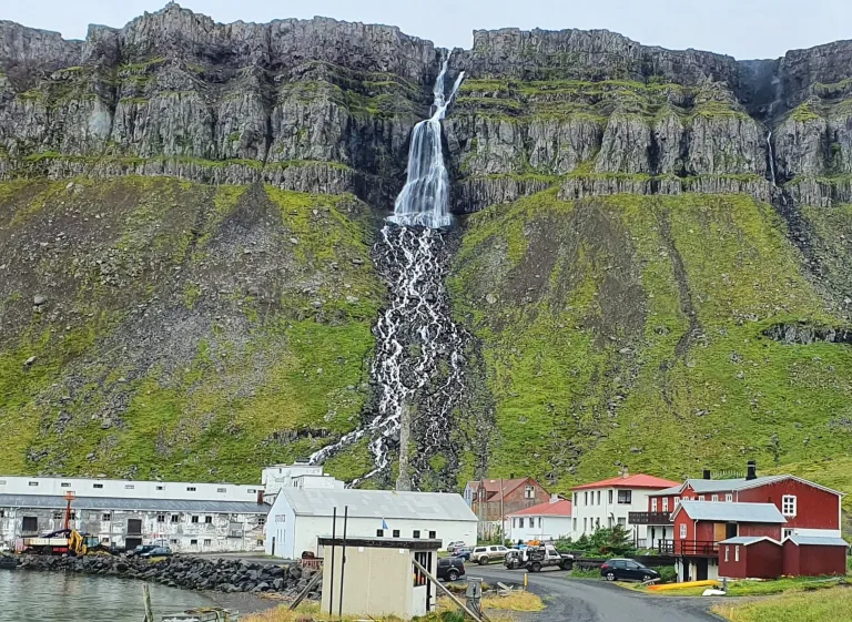
Djúpavíkurfoss waterfall Iceland

Djúpavíkurfoss waterfall (click to enlarge).

Location: Westfjords, see the map of Djupavikurfoss
Height: 160m (525ft)
Road accessible by: better 4wd car in summer, super jeep/inaccessible in winter
Hiking time: next to the road/parking*
Hiking distance: 50m* (60yd*)
Hiking difficulty: easy*
Trail in winter: easily accessible*
Trail link: Djupavikurfoss hiking trail

Drifandi
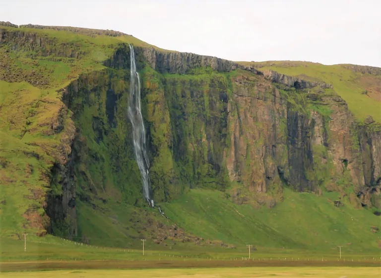
Drifandi waterfall Iceland

Drifandi waterfall (click to enlarge). Photo by Alexander Grebenkov, CCM license. Source link.

Location: Southwest, see the map of Drifandi
Height: 70m (230ft)
Road accessible by: 2wd car
Hiking time: next to the road/parking
Hiking distance: 50m (60yd)
Hiking difficulty: easy
Trail in winter: easily accessible
Trail link: Drifandi hiking trail

Drifandisfoss
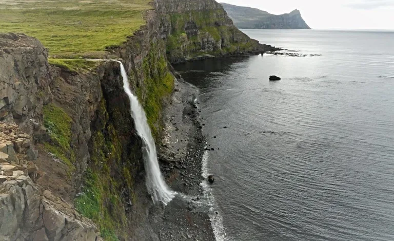
Drifandisfoss waterfall Iceland

Drifandisfoss waterfall (click to enlarge).

Location: Hornstrandir, see the map of Drifandisfoss
Height: 60m (197ft)
Road accessible by: no road, only ferry and hiking
Hiking time: 7 hours*
Hiking distance: 25km* (15,5mi*)
Hiking difficulty: difficult
Trail in winter: inaccessible
Trail link: Drifandisfoss hiking trail

Dynjandi
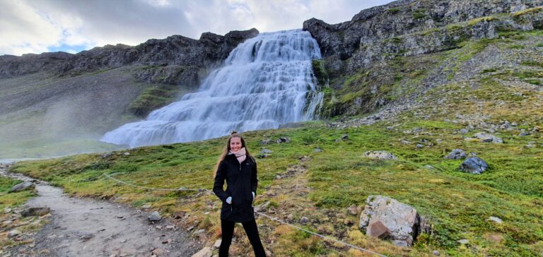
Dynjandi waterfall Iceland

Dynjandi waterfall (click to enlarge).

Location: Westfjords, see the map of Dynjandi
Height: 100m (328ft)
Road accessible by: 2wd car in summer, 4wd car in winter
Hiking time: 15 minutes
Hiking distance: 800m (0,5mi)
Hiking difficulty: easy
Trail in winter: snowy/icy but accessible
Trail link: Dynjandi hiking trail
Our experience: Dynjandi visit

Fagrifoss
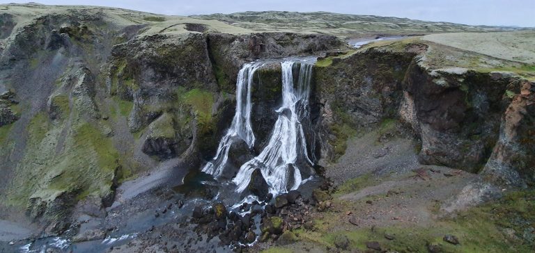
Fagrifoss waterfall Iceland

Fagrifoss waterfall (click to enlarge).

Location: South Highlands, see the map of Fagrifoss
Height: 80m (262ft)
Road accessible by: 4wd car in summer (F-road), super jeep/inaccessible in winter
Hiking time: 5 minutes
Hiking distance: 200m (220yd)
Hiking difficulty: easy
Trail in winter: snowy/icy but accessible
Trail link:
Our experience: Fagrifoss visit

Fardagafoss
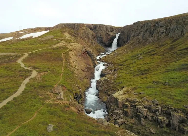
Fardagafoss waterfall Iceland

Fardagafoss waterfall (click to enlarge).

Location: East, see the map of Fardagafoss
Height: 20m (66ft)
Road accessible by: 2wd car
Hiking time: 15-20 minutes
Hiking distance: 1km (0,6mi)
Hiking difficulty: moderate
Trail in winter: snowy/icy but accessible
Trail link: Fardagafoss hiking trail

Faxafoss
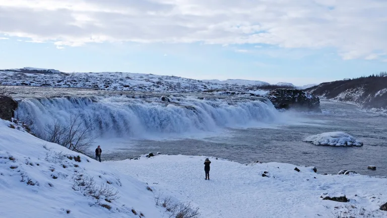
Faxafoss waterfall Iceland

Faxafoss waterfall (click to enlarge).

Location: Southwest, see the map of Faxafoss
Height: 10m (33ft)
Road accessible by: 2wd car
Hiking time: next to the road/parking
Hiking distance: 50m (60yd)
Hiking difficulty: easy
Trail in winter: easily accessible
Trail link:

Faxi

Faxi waterfall Iceland

Faxi waterfall (click to enlarge). Photo by Peter Stobbart, CCM license.

Location: East Highlands, see the map of Faxi
Height: 20m (66ft)
Road accessible by: 2wd car in summer, super jeep/inaccessible in winter
Hiking time: 40 minutes
Hiking distance: 2500m (1,6mi)
Hiking difficulty: moderate
Trail in winter: hardly/inaccessible
Trail link: Faxi hiking trail

Femri-Fellsfoss and Inri-Fellsfoss
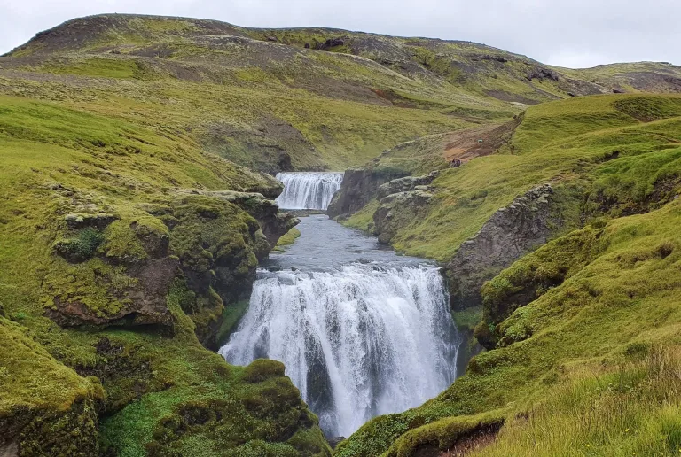
Femri-Fellsfoss and Inri-Fellsfoss waterfall Iceland

Femri-Fellsfoss and Inri-Fellsfoss waterfall (click to enlarge).

Location: South, see the map of Femri-fellsfoss and innri-fellsfoss
Height: 15m (49ft)
Road accessible by: 2wd car
Hiking time: 40 minutes
Hiking distance: 2,2km (1,4mi)
Hiking difficulty: moderate
Trail in winter: snowy/icy but accessible
Trail link: Femri-fellsfoss and Innri-fellsfoss hiking trail
Our experience: Femri and Innri Fellsfoss visit

Flögufoss
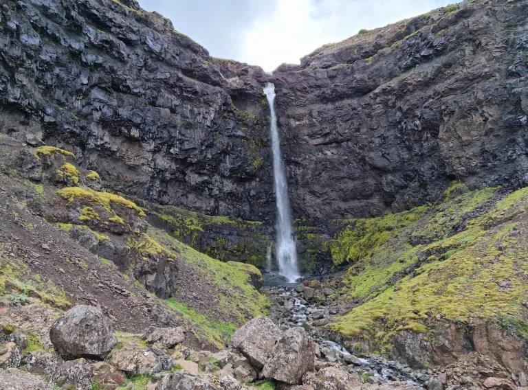
Flögufoss waterfall Iceland

Flögufoss waterfall (click to enlarge).

Location: East, see the map of Flogufoss
Height: 60m (197ft)
Road accessible by: 2wd car
Hiking time: 20 minutes
Hiking distance: 1500m (0,9mi)
Hiking difficulty: moderate
Trail in winter: snowy/icy but accessible
Trail link: Flogufoss hiking trail

Folaldafoss
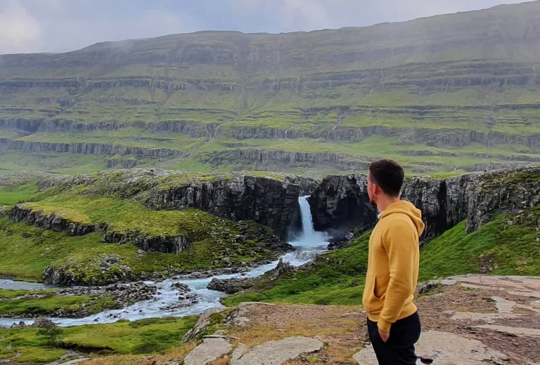
Folaldafoss waterfall Iceland

Folaldafoss waterfall (click to enlarge).

Location: East, see the map of Folaldafoss
Height: 20m (66ft)
Road accessible by: 2wd car in summer, super jeep/inaccessible in winter
Hiking time: 5 minutes
Hiking distance: 300m (330yd)
Hiking difficulty: easy
Trail in winter: snowy/icy but accessible
Trail link:
Our experience: Folaldafoss visit

Foss
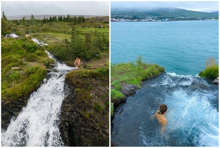
Foss waterfall Iceland

Foss waterfall (click to enlarge).

Location: North, see the map of Foss
Height: 10m (33ft)
Road accessible by: 2wd car
Hiking time: 5 minutes
Hiking distance: 50m (60yd)
Hiking difficulty: easy
Trail in winter: snowy/icy but accessible
Trail link:

Foss á Síðu

Foss á Síðu waterfall Iceland

Foss á Síðu waterfall (click to enlarge). Photo by Christian Bickel fingalo, CCM license. Source link.

Location: South, see the map of Foss a sidu
Height: 30m (98ft)
Road accessible by: 2wd car
Hiking time: 5 minutes
Hiking distance: 100m (110yd)
Hiking difficulty: easy
Trail in winter: easily accessible
Trail link:

Fossálar

Fossálar waterfall Iceland

Fossálar waterfall (click to enlarge).

Location: South, see the map of Fossalar
Height: 5m (16ft)
Road accessible by: 2wd car
Hiking time: next to the road/parking
Hiking distance: 50m (60yd)
Hiking difficulty: easy
Trail in winter: easily accessible
Trail link:

Fosstorfufoss

Fosstorfufoss waterfall Iceland

Fosstorfufoss waterfall (click to enlarge).

Location: South, see the map of Fosstorfufoss
Height: 10m (33ft)
Road accessible by: 2wd car
Hiking time: 20 minutes
Hiking distance: 1,1km (0,7mi)
Hiking difficulty: moderate
Trail in winter: snowy/icy but accessible
Trail link: Fosstorfufoss hiking trail
Our experience: Fosstorfufoss visit

Gilsárfoss
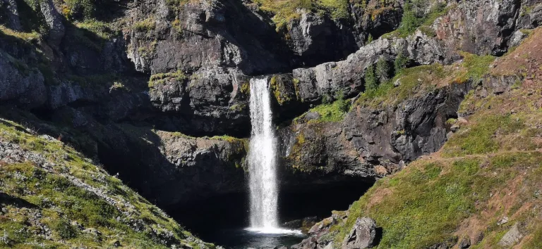
Gilsárfoss waterfall Iceland

Gilsárfoss waterfall (click to enlarge). Photo by El_Gulio, CCM license.

Location: East, see the map of Gilsarfoss
Height: 7m (23ft)
Road accessible by: 2wd car in summer, 4wd car/super jeep in winter
Hiking time: 15 minutes
Hiking distance: 1km (0,6mi)
Hiking difficulty: easy
Trail in winter: snowy/icy but accessible
Trail link: Gilsarfoss hiking trail

Gjárfoss
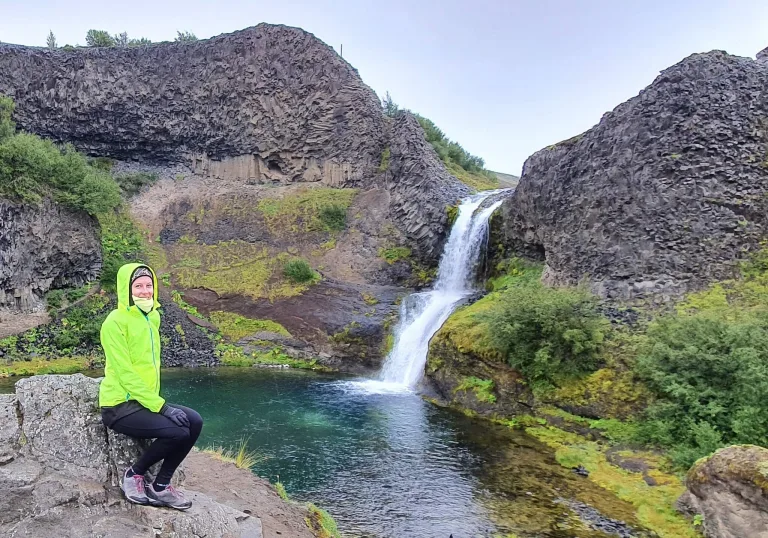
Gjárfoss  waterfall Iceland

Gjárfoss  waterfall (click to enlarge).

Location: South Highlands, see the map of Gjarfoss
Height: 15m (49ft)
Road accessible by: better 4wd car in summer, super jeep/inaccessible in winter
Hiking time: 10 minutes
Hiking distance: 500m (0,3mi)
Hiking difficulty: easy
Trail in winter: hardly/inaccessible
Trail link: Gjarfoss hiking trail
Our experience: Gjarfoss visit

Glanni
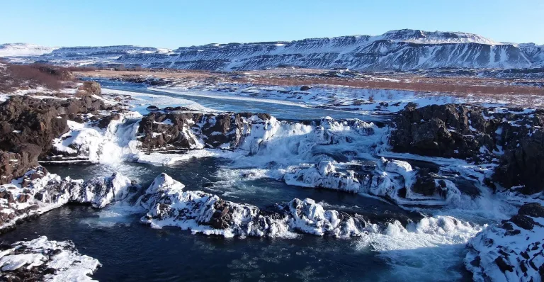
Glanni waterfall Iceland

Glanni waterfall (click to enlarge). Photo by Izsonzo, CCM license. Source link.

Location: West, see the map of Glanni
Height: 10m (33ft)
Road accessible by: 2wd car in summer, better 4wd car in winter
Hiking time: 5 minutes
Hiking distance: 300m (330yd)
Hiking difficulty: easy
Trail in winter: snowy/icy but accessible
Trail link:

Gljúfrabúi

Gljúfrabúi waterfall Iceland

Gljúfrabúi waterfall (click to enlarge).

Location: Southwest, see the map of Gljufrabui
Height: 40m (131ft)
Road accessible by: 2wd car
Hiking time: 10 minutes
Hiking distance: 600m (0,4mi)
Hiking difficulty: moderate
Trail in winter: easily accessible
Trail link:

Gljúfurárfoss

Gljúfurárfoss waterfall Iceland

Gljúfurárfoss waterfall (click to enlarge). Photo by Bromr, CCM license. Source link.

Location: Westfjords, see the map of Gljufurarfoss
Height: 8m (26ft)
Road accessible by: 2wd car in summer, super jeep/inaccessible in winter
Hiking time: next to the road/parking
Hiking distance: 50m (60yd)
Hiking difficulty: easy
Trail in winter: easily accessible
Trail link:

Gljúfursárfoss

Gljúfursárfoss waterfall Iceland

Gljúfursárfoss waterfall (click to enlarge). Photo by Bromr, CCM license. Source link.

Location: East, see the map of Gljufursarfoss
Height: 45m (148ft)
Road accessible by: 2wd car in summer, 4wd car/super jeep in winter
Hiking time: next to the road/parking
Hiking distance: 50m (60yd)
Hiking difficulty: easy
Trail in winter: easily accessible
Trail link:

Gluggafoss

Gluggafoss waterfall Iceland

Gluggafoss waterfall (click to enlarge). Photo by Hornstrandir1, CCM license. Source link.

Location: South, see the map of Gluggafoss
Height: 120m (394ft)
Road accessible by: 2wd car in summer, 4wd car in winter
Hiking time: 5 minutes
Hiking distance: 300m (330yd)
Hiking difficulty: easy
Trail in winter: snowy/icy but accessible
Trail link:

Glymur

Glymur waterfall Iceland

Glymur waterfall (click to enlarge). Photo by Andreas Tille, CCM license. Source link.

Location: West, see the map of Glymur
Height: 198m (649ft)
Road accessible by: 2wd car in summer, inaccessible in winter
Hiking time: 1 hour
Hiking distance: 3,5km (2,2mi)
Hiking difficulty: moderate
Trail in winter: inaccessible
Trail link: first Glymur hiking trail, second Glymur hiking trail

Goðafoss
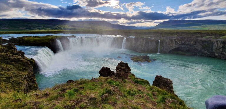
Goðafoss waterfall Iceland

Goðafoss waterfall (click to enlarge).

Location: North, see the map of Godafoss
Height: 12m (39ft)
Road accessible by: 2wd car
Hiking time: 10 minutes
Hiking distance: 500m (0,3mi)
Hiking difficulty: easy
Trail in winter: easily accessible
Trail link:
Our experience: Godafoss summer visit, Godafoss winter visit

Göngumannafoss
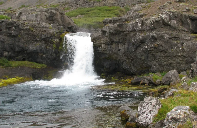
Göngumannafoss waterfall Iceland

Göngumannafoss waterfall (click to enlarge). Photo by Bromr, CCM license. Source link.

Location: Westfjords, see the map of Gongumannafoss
Height: 4m (13ft)
Road accessible by: 2wd car in summer, 4wd car in winter
Hiking time: 7 minutes
Hiking distance: 400m (440yd)
Hiking difficulty: easy
Trail in winter: snowy/icy but accessible
Trail link: Gongumannafoss hiking trail

Granni
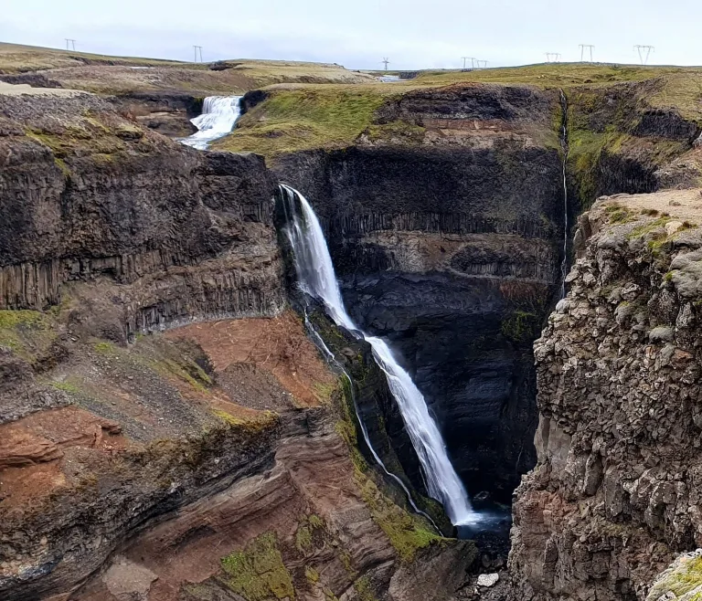
Granni waterfall Iceland

Granni waterfall (click to enlarge).

Location: South Highlands, see the map of Granni
Height: 100m (328ft)
Road accessible by: better 4wd car in summer, super jeep in winter
Hiking time: next to the road/parking
Hiking distance: 50m (60yd)
Hiking difficulty: easy
Trail in winter: snowy/icy but accessible
Trail link:
Our experience: Granni visit

Grundarfoss
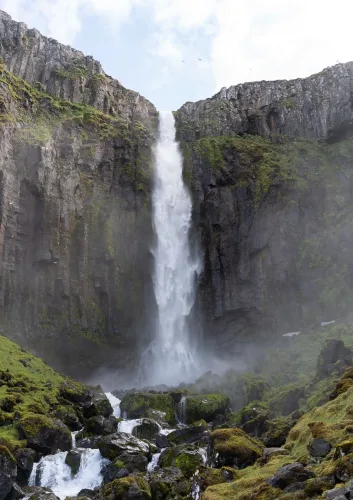
Grundarfoss waterfall Iceland

Grundarfoss waterfall (click to enlarge).

Location: Snaefellsnes, see the map of Grundarfoss
Height: 70m (230ft)
Road accessible by: 2wd car in summer, 4wd car in winter
Hiking time: 20 minutes
Hiking distance: 1,5km (0,9mi)
Hiking difficulty: moderate
Trail in winter: snowy/icy but accessible
Trail link: Grundarfoss hiking trail

Gufufoss
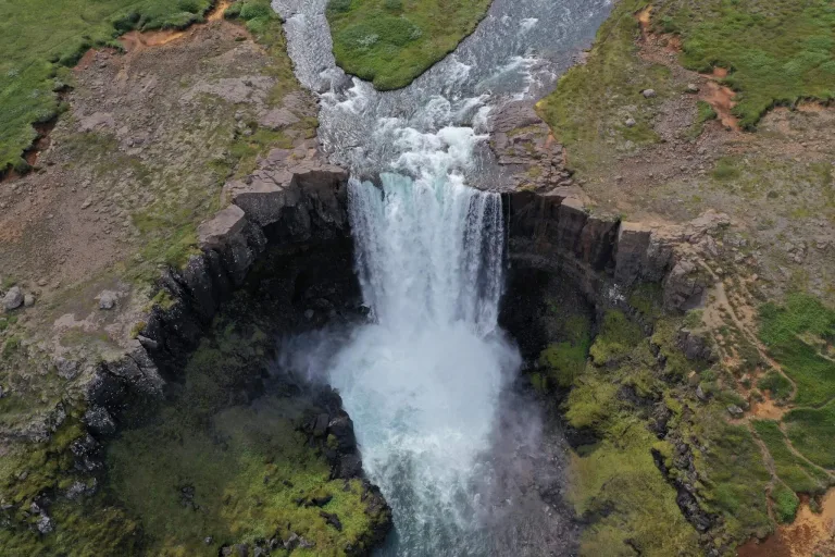
Gufufoss waterfall Iceland

Gufufoss waterfall (click to enlarge).

Location: East, see the map of Gufufoss
Height: 12m (39ft)
Road accessible by: 2wd car in summer, better 4wd car in winter
Hiking time: next to the road/parking
Hiking distance: 100m (110yd)
Hiking difficulty: easy
Trail in winter: snowy/icy but accessible
Trail link:

Gullfoss

Gullfoss waterfall Iceland

Gullfoss waterfall (click to enlarge).

Location: Southwest, see the map of Gullfoss
Height: 32m (105ft)
Road accessible by: 2wd car
Hiking time: 5-10 minutes
Hiking distance: 400m (440yd)
Hiking difficulty: easy
Trail in winter: easily accessible
Trail link:
Our experience: Gullfoss visit

Gýgjarfoss
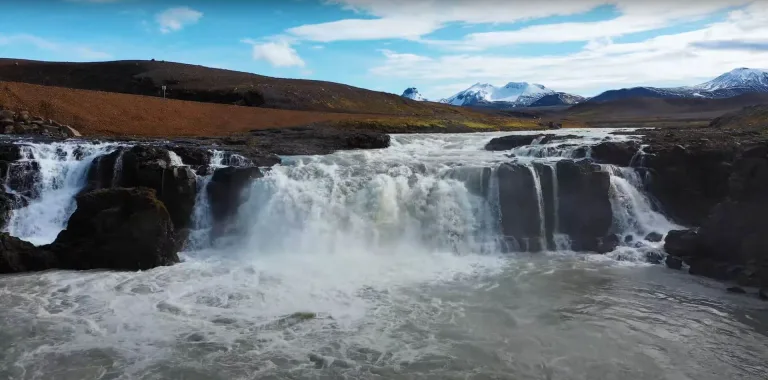
Gýgjarfoss waterfall Iceland

Gýgjarfoss waterfall (click to enlarge).

Location: Central Highlands, see the map of Gygjarfoss
Height: 5m (16ft)
Road accessible by: 4wd car in summer (F-road), super jeep/inaccessible in winter
Hiking time: next to the road/parking
Hiking distance: 50m (60yd)
Hiking difficulty: easy
Trail in winter: easily accessible
Trail link:

Hænubrekkufoss

Hænubrekkufoss waterfall Iceland

Hænubrekkufoss waterfall (click to enlarge).

Location: East, see the map of Haenubrekkufoss
Height: 53m (174ft)
Road accessible by: 2wd car in summer, super jeep/inaccessible in winter
Hiking time: 10 minutes
Hiking distance: 500m (0,3mi)
Hiking difficulty: moderate
Trail in winter: snowy/icy but accessible
Trail link:

Hæstahjallafoss

Hæstahjallafoss waterfall Iceland

Hæstahjallafoss waterfall (click to enlarge). Photo by Jennifer Boyer, CCM license. Source link.

Location: Westfjords, see the map of Haestahjallafoss
Height: 5m (16ft)
Road accessible by: 2wd car in summer, 4wd car in winter
Hiking time: 12 minutes
Hiking distance: 700m (0,4mi)
Hiking difficulty: easy
Trail in winter: snowy/icy but accessible
Trail link: Haestahjallafoss hiking trail

Hafragilsfoss
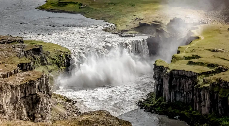
Hafragilsfoss waterfall Iceland

Hafragilsfoss waterfall (click to enlarge). Photo by Bernd Thaller, CCM license. Source link.

Location: Northeast, see the map of Hafragilsfoss
Height: 27m (89ft)
Road accessible by: 2wd car in summer, 4wd car/super jeep winter*
Hiking time: next to the road/parking
Hiking distance: 50m (60yd)
Hiking difficulty: easy
Trail in winter: snowy/icy but accessible
Trail link:

Háifoss

Háifoss waterfall Iceland

Háifoss waterfall (click to enlarge).

Location: South Highlands, see the map of Haifoss
Height: 122m (400ft)
Road accessible by: better 4wd car in summer, super jeep in winter
Hiking time: next to the road/parking
Hiking distance: 50m (60yd)
Hiking difficulty: easy
Trail in winter: snowy/icy but accessible
Trail link:
Our experience: Haifoss visit

Hangandifoss
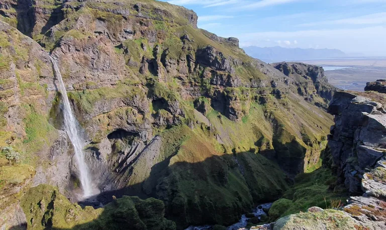
Hangandifoss waterfall Iceland

Hangandifoss waterfall (click to enlarge).

Location: Southeast, see the map of Hangandifoss
Height: 110m (361ft)
Road accessible by: 2wd car in summer, super jeep/inaccessible in winter
Hiking time: 30-45 minutes
Hiking distance: 1500m (0,9mi)
Hiking difficulty: moderate
Trail in winter: hardly/inaccessible
Trail link: Hangandifoss hiking trail

Helgufoss
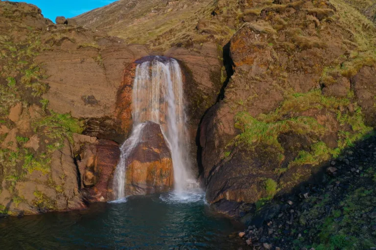
Helgufoss waterfall Iceland

Helgufoss waterfall (click to enlarge).

Location: West, see the map of Helgufoss
Height: 12m (39ft)
Road accessible by: 2wd car in summer, 4wd car/super jeep in winter
Hiking time: 10*
Hiking distance: 500m* (0,3mi*)
Hiking difficulty: easy
Trail in winter: snowy/icy but accessible
Trail link:

Hengifoss

Hengifoss waterfall Iceland

Hengifoss waterfall (click to enlarge).

Location: East, see the map of Hengifoss
Height: 128m (420ft)
Road accessible by: 2wd car in summer, better 4wd car in winter
Hiking time: 30-40 minutes
Hiking distance: 2km (1,2mi)
Hiking difficulty: easy
Trail in winter: snowy/icy but accessible
Trail link: Hengifoss hiking trail

Hestavaðsfoss
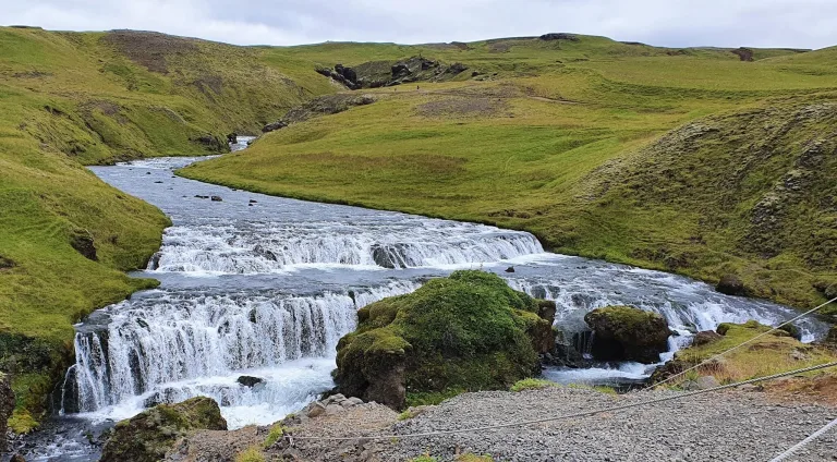
Hestavaðsfoss waterfall Iceland

Hestavaðsfoss waterfall (click to enlarge).

Location: South, see the map of Hestavadsfoss
Height: 9m (30ft)
Road accessible by: 2wd car
Hiking time: 15 minutes
Hiking distance: 800m (0,5mi)
Hiking difficulty: moderate
Trail in winter: snowy/icy but accessible
Trail link: Hestavadsfoss hiking trail
Our experience: Hestavadsfoss visit

Hjálparfoss
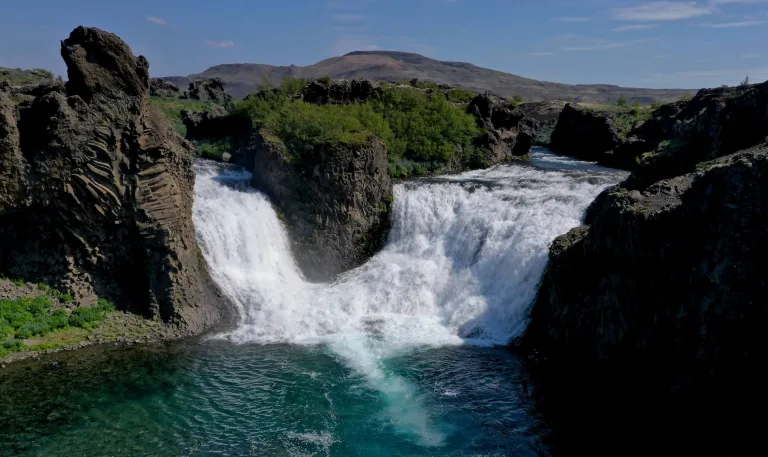
Hjálparfoss waterfall Iceland

Hjálparfoss waterfall (click to enlarge).

Location: Southwest, see the map of Hjalparfoss
Height: 13m (43ft)
Road accessible by: 2wd car in summer, better 4wd car in winter
Hiking time: next to the road/parking
Hiking distance: 100m (110yd)
Hiking difficulty: easy
Trail in winter: snowy/icy but accessible
Trail link:

Hlauptungufoss

Hlauptungufoss waterfall Iceland

Hlauptungufoss waterfall (click to enlarge). Photo by G.Mannaerts, CCM license. Source link.

Location: West, see the map of Hlauptungufoss
Height: 2m (7ft)
Road accessible by: 2wd car
Hiking time: 30-40 minutes
Hiking distance: 2km (1,2mi)
Hiking difficulty: easy
Trail in winter: snowy/icy but accessible
Trail link: Hlauptungufoss hiking trail

Hólmsárfoss
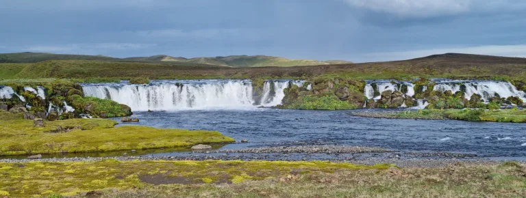
Hólmsárfoss waterfall Iceland

Hólmsárfoss waterfall (click to enlarge).

Location: South Highlands, see the map of Holmsarfoss
Height: 3m (10ft)
Road accessible by: 4wd car in summer (F-road), super jeep/inaccessible in winter
Hiking time: next to the road/parking
Hiking distance: 50m (60yd)
Hiking difficulty: easy
Trail in winter: snowy/icy but accessible
Trail link:

Hólmsárfossár

Hólmsárfossár waterfall Iceland

Hólmsárfossár waterfall (click to enlarge).

Location: South Highlands, see the map of Holmsarfossar
Height: 10m (33ft)
Road accessible by: 4wd car in summer (F-road), inaccessible in winter
Hiking time: 40 minutes
Hiking distance: 2km (1,2mi)
Hiking difficulty: moderate
Trail in winter: inaccessible
Trail link: Holmsarfossar hiking trail
Our experience: Holmsarfossar visit

Hrafnabjargafoss
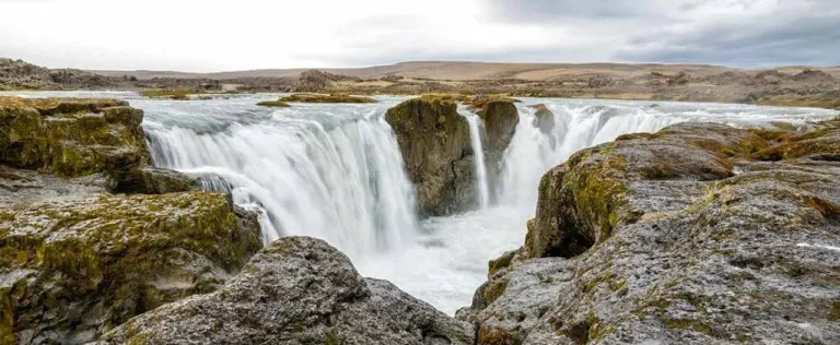
hrafnabjargafoss waterfall iceland

Hrafnabjargafoss waterfall (click to enlarge). Source link.

Location: North Highlands, see the map of Hrafnabjargafoss
Height: 8m (26ft)
Road accessible by: 4wd car in summer (F-road), super jeep/inaccessible in winter
Hiking time: 5 minutes
Hiking distance: 300m (0,2mi)
Hiking difficulty: easy
Trail in winter: hardly/inaccessible
Trail link: Hrafnabjargafoss hiking trail

Hraunfossar
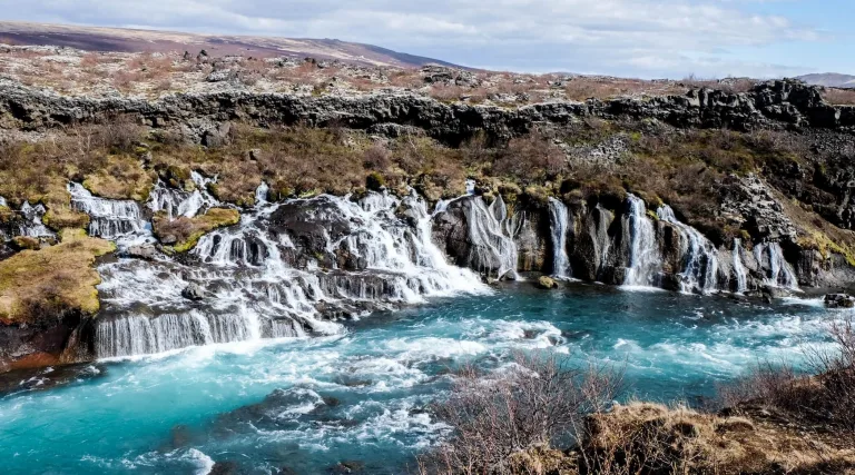
Hraunfossar waterfall Iceland

Hraunfossar waterfall (click to enlarge).

Location: West, see the map of Hraunfossar
Height: 10m (33ft)
Road accessible by: 2wd car in summer, better 4wd car in winter
Hiking time: 5 minutes
Hiking distance: 300m (330yd)
Hiking difficulty: easy
Trail in winter: easily accessible
Trail link: Hraunfossar hiking trail

Hrísvaðsfoss
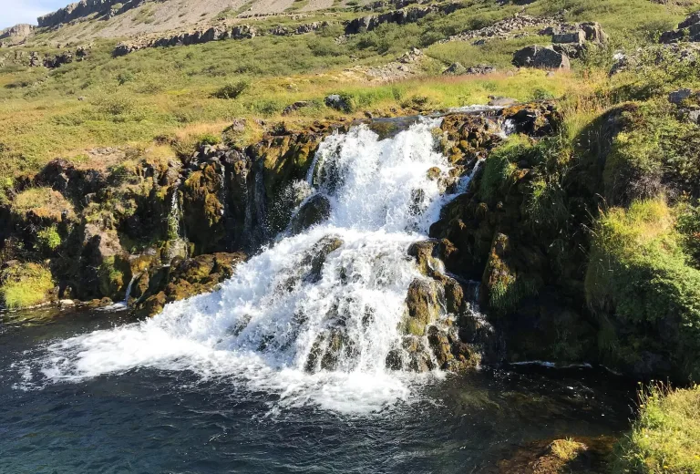
Hrísvaðsfoss waterfall Iceland

Hrísvaðsfoss waterfall (click to enlarge).

Location: Westfjords, see the map of Hrisvadsfoss
Height: 3m (10ft)
Road accessible by: 2wd car in summer, 4wd car in winter
Hiking time: 5 minutes
Hiking distance: 300m (330yd)
Hiking difficulty: easy
Trail in winter: snowy/icy but accessible
Trail link: Hrisvadsfoss hiking trail

Hundafoss (Westfjords)
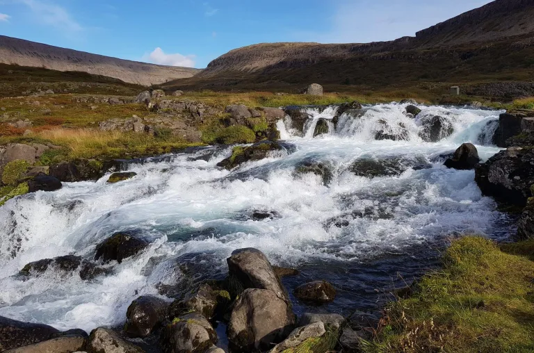
Hundafoss waterfall Iceland

Hundafoss waterfall (click to enlarge).

Location: Westfjords, see the map of Hundafoss dynjandi
Height: 2m (7ft)
Road accessible by: 2wd car in summer, 4wd car in winter
Hiking time: 3 minutes
Hiking distance: 100m (110yd)
Hiking difficulty: easy
Trail in winter: snowy/icy but accessible
Trail link: Hundafoss dynjandi hiking trail
Our experience: Hundafoss visit

Hundafoss (Skaftafell)
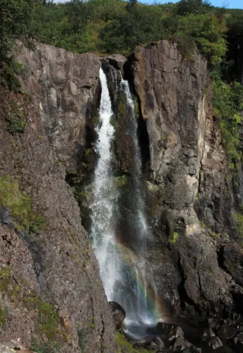
Hundafoss waterfall Iceland

Hundafoss waterfall (click to enlarge).

Location: Southeast, see the map of Hundafoss skaftafell
Height: 25m (82ft)
Road accessible by: 2wd car
Hiking time: 15 minutes
Hiking distance: 800m (0,5mi)
Hiking difficulty: easy
Trail in winter: snowy/icy but accessible
Trail link: Hundafoss skaftafell hiking trail

Húsárfoss
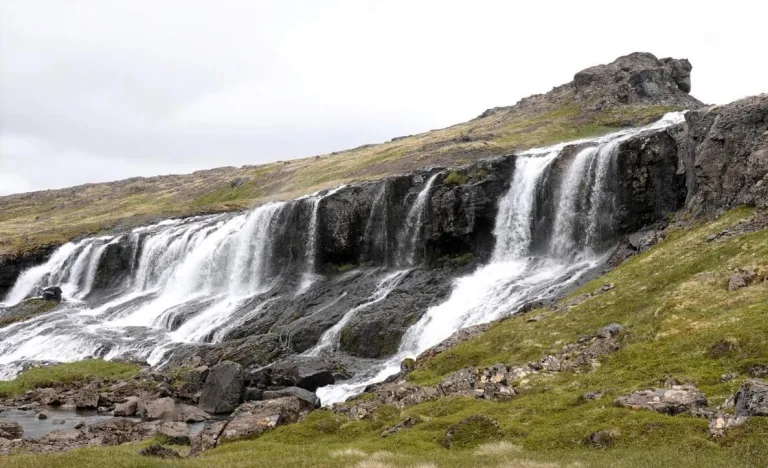
husarfoss waterfall iceland

Husarfoss waterfall (click to enlarge)

Location: Westfjords, see the map of Husarfoss
Height: 25m (80ft)
Road accessible by: 4wd car in summer (F-road), super jeep/inaccessible in winter
Hiking time: 20-30 minutes
Hiking distance: 1,5km (1mi)
Hiking difficulty: easy
Trail in winter: hardly/inaccessible
Trail link: Husarfoss hiking trail

Hvitárfoss
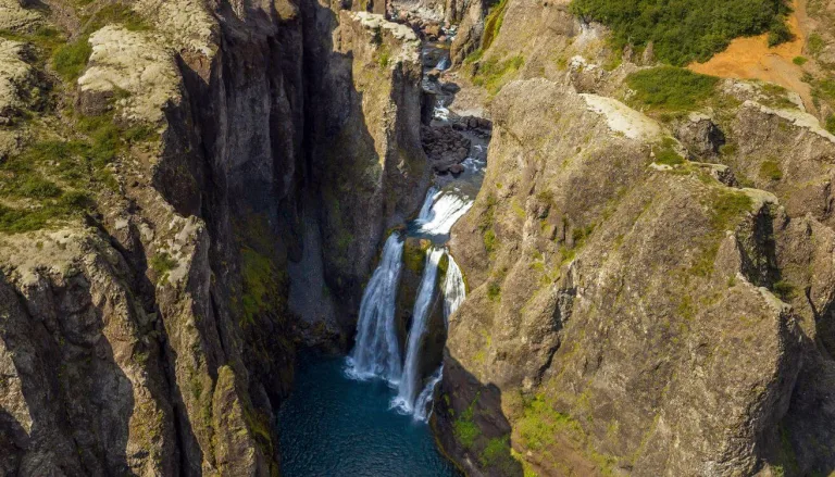
Hvitárfoss waterfall Iceland

Hvitárfoss waterfall (click to enlarge). Photo by Snorri Thor Trygvasson, CCM license. Source link.

Location: South, see the map of Hvitarfoss
Height: 30m (98ft)
Road accessible by: super jeep and only in summer
Hiking time: 1-4 hours
Hiking distance: 3-14 km (2-9mi)
Hiking difficulty: difficult
Trail in winter: inaccessible
Trail link: Hvitarfoss hiking trail

Írárfoss

Írárfoss waterfall Iceland

Írárfoss waterfall (click to enlarge). Source link.

Location: South, see the map of Irarfoss
Height: 60m (197ft)
Road accessible by: 2wd car
Hiking time: next to the road/parking
Hiking distance: 50m (60yd)
Hiking difficulty: easy
Trail in winter: snowy/icy but accessible
Trail link:

Kæfufoss

Kæfufoss waterfall Iceland

Kæfufoss waterfall (click to enlarge).

Location: South, see the map of Kaefufoss
Height: 8m (26ft)
Road accessible by: 2wd car
Hiking time: 1 hour
Hiking distance: 3,2km (2mi)
Hiking difficulty: moderate
Trail in winter: snowy/icy but accessible
Trail link: Kaefufoss hiking trail

Kerlingarfoss
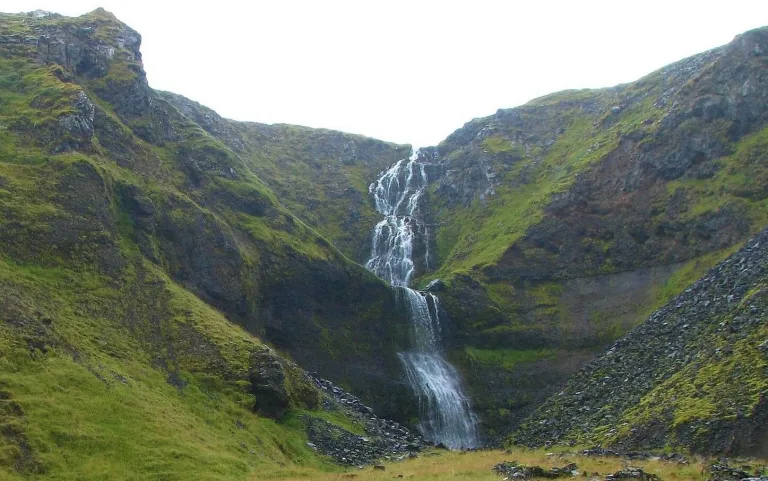
Kerlingarfoss waterfall Iceland

Kerlingarfoss waterfall (click to enlarge). Photo by Bromr, CCM license. Source link.

Location: Snaefellsnes, see the map of Kerlingarfoss
Height: 60m (197ft)
Road accessible by: 2wd car in summer, 4wd car/super jeep in winter
Hiking time: 5 minutes
Hiking distance: 250m (270yd)
Hiking difficulty: easy
Trail in winter: snowy/icy but accessible
Trail link: Kerlingarfoss hiking trail

Kermóafoss
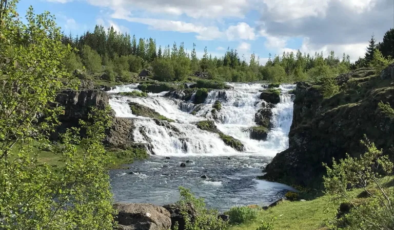
Kermóafoss waterfall Iceland

Kermóafoss waterfall (click to enlarge).

Location: Reykjavik, see the map of Kermoafoss
Height: 7m (23ft)
Road accessible by: 2wd car
Hiking time: 3 minutes
Hiking distance: 150m (160yd)
Hiking difficulty: easy
Trail in winter: easily accessible
Trail link:

Ketubjörg

Ketubjörg waterfall Iceland

Ketubjörg waterfall (click to enlarge).

Location: North, see the map of Ketubjorg
Height: 120m (394ft)
Road accessible by: 2wd car in summer, 4wd car/super jeep in winter
Hiking time: 5-10 minutes
Hiking distance: 200m-500m, depends on from where you go (0,1-0,3mi)
Hiking difficulty: easy
Trail in winter: snowy/icy but accessible
Trail link:

Kirkjufellsfoss

Kirkjufellsfoss waterfall Iceland

Kirkjufellsfoss waterfall (click to enlarge).

Location: Snaefellsnes, see the map of Kirkjufellsfoss
Height: 20m (66ft)
Road accessible by: 2wd car in summer, better 4wd car in winter
Hiking time: 3 minutes
Hiking distance: 150m (160yd)
Hiking difficulty: easy
Trail in winter: easily accessible
Trail link:
Our experience: Kirkjufellsfoss visit

Kirkjufoss
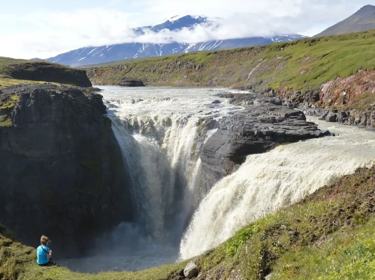
Kirkjufoss waterfall Iceland

Kirkjufoss waterfall (click to enlarge).

Location: East Highlands, see the map of Kirkjufoss
Height: 40m (131ft)
Road accessible by: 2wd car in summer, super jeep/inaccessible in winter
Hiking time: 30 minutes
Hiking distance: 2000m (1,2mi)
Hiking difficulty: moderate
Trail in winter: hardly/inaccessible
Trail link: Kirkjufoss hiking trail

Klifbrekkufoss
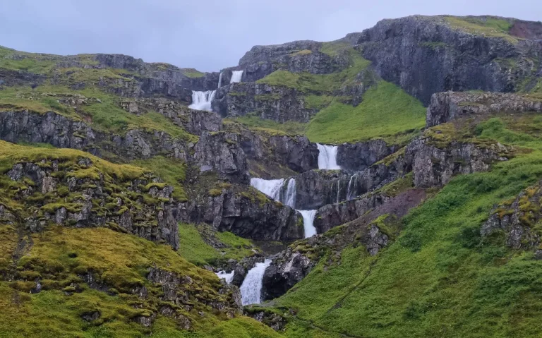
Klifbrekkufoss waterfall Iceland

Klifbrekkufoss waterfall (click to enlarge).

Location: East, see the map of Klifbrekkufoss
Height: 90m (295ft)
Road accessible by: 2wd car in summer, super jeep in winter
Hiking time: 5-15 minutes
Hiking distance: 100-250m (100-300yd)
Hiking difficulty: easy*
Trail in winter: snowy/icy but accessible
Trail link: Klifbrekkufoss hiking trail

Klukkufoss
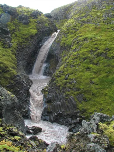
Klukkufoss waterfall Iceland

Klukkufoss waterfall (click to enlarge). Photo by Bromr, CCM license. Source link.

Location: Snaefellsnes, see the map of Klukkufoss
Height: 25m (82ft)
Road accessible by: 4wd car in summer (F-road), inaccessible in winter
Hiking time: 15 minutes
Hiking distance: 500m (0,3mi)
Hiking difficulty: easy
Trail in winter: hardly/inaccessible
Trail link: Klukkufoss hiking trail

Kolufossar
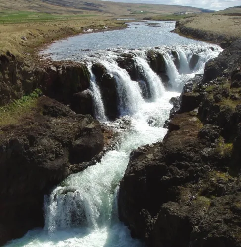
Kolufossar waterfall Iceland

Kolufossar waterfall (click to enlarge). Photo by DasPumm, CCM license. Source link.

Location: Northwest, see the map of Kolufossar
Height: 8m (26ft)
Road accessible by: 2wd car in summer, better 4wd car in winter
Hiking time: next to the road/parking
Hiking distance: 50m (60yd)
Hiking difficulty: easy
Trail in winter: easily accessible
Trail link:

Króksfoss (Skógar)

Króksfoss waterfall Iceland

Króksfoss waterfall (click to enlarge). Source link.

Location: South, see the map of Kroksfoss fimmvorduhals
Height: 14m (46ft)
Road accessible by: 2wd car
Hiking time: 2 hours
Hiking distance: 6,5km (4mi)
Hiking difficulty: moderate
Trail in winter: snowy/icy but accessible
Trail link: Kroksfoss fimmvorduhals hiking trail

Króksfoss (Norðurárdalur)

Króksfoss waterfall Iceland

Króksfoss waterfall (click to enlarge). Source link.

Location: West, see the map of Kroksfoss
Height: 5m (16ft)
Road accessible by: 2wd car
Hiking time: 5 minutes
Hiking distance: 100m (110yd)
Hiking difficulty: easy
Trail in winter: easily accessible
Trail link:

Kvernufoss

Kvernufoss waterfall Iceland

Kvernufoss waterfall (click to enlarge).

Location: South, see the map of Kvernufoss
Height: 40m (131ft)
Road accessible by: 2wd car
Hiking time: 10-15 minutes
Hiking distance: 700m (0,4mi)
Hiking difficulty: easy
Trail in winter: easily accessible
Trail link: Kvernufoss hiking trail
Our experience: Kvernufoss visit

Laugavallalaug
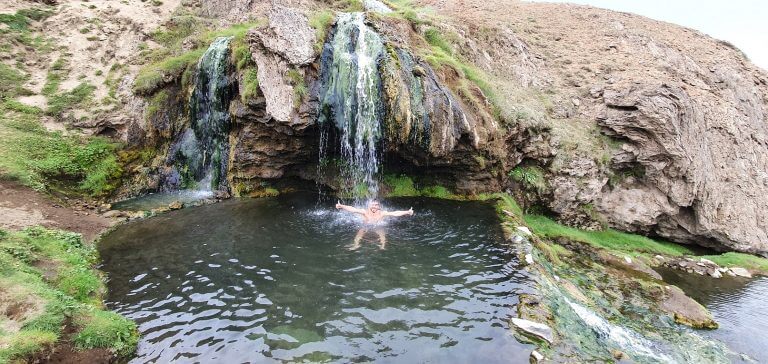
Laugavallalaug waterfall Iceland

Laugavallalaug waterfall (click to enlarge).

Location: East Highlands, see the map of Laugavallalaug
Height: 6m (20ft)
Road accessible by: 4wd car in summer, super jeep/inaccessible in winter
Hiking time: 5 minutes
Hiking distance: 300m (330yd)
Hiking difficulty: easy
Trail in winter: hardly/inaccessible
Trail link:
Our experience: Laugavallalaug visit

Litlanesfoss
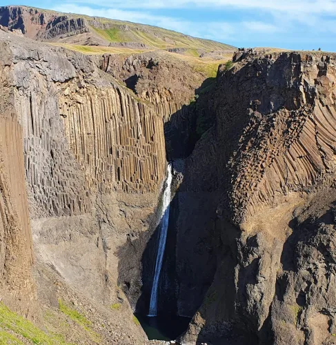
Litlanesfoss waterfall Iceland

Litlanesfoss waterfall (click to enlarge).

Location: East, see the map of Litlanesfoss
Height: 35m (115ft)
Road accessible by: 2wd car in summer, better 4wd car in winter
Hiking time: 15-20 minutes
Hiking distance: 1200m (0,7mi)
Hiking difficulty: easy
Trail in winter: snowy/icy but accessible
Trail link: Litlanesfoss hiking trail

Mígandifoss
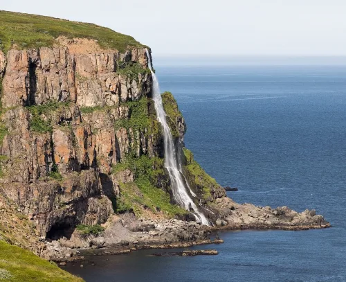
Mígandifoss waterfall Iceland

Mígandifoss waterfall (click to enlarge). Photo by Markus Trienke, CCM license. Source link.

Location: North, see the map of Migandi
Height: 45m (148ft)
Road accessible by: 2wd car
Hiking time: 5-20 minutes
Hiking distance: 100-1000m (100yd-0,6mi)
Hiking difficulty: easy
Trail in winter: snowy/icy but accessible
Trail link:

Mögáfoss

Mögáfoss waterfall Iceland

Mögáfoss waterfall (click to enlarge).

Location: South, see the map of Mogafoss
Height: 40m (131ft)
Road accessible by: 2wd car
Hiking time: 10-15 minutes
Hiking distance: 600m (0,4mi)
Hiking difficulty: easy
Trail in winter: easily accessible
Trail link: Mogafoss hiking trail
Our experience: Mogafoss visit

Möngufoss
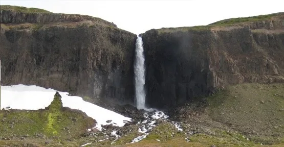
Möngufoss waterfall Iceland

Möngufoss waterfall (click to enlarge).

Location: Westfjords, see the map of Mongufoss
Height: 60m (197ft)
Road accessible by: 2wd car in summer, super jeep in winter
Hiking time: 1 hour
Hiking distance: 4km (2,5mi)
Hiking difficulty: moderate
Trail in winter: hardly/inaccessible
Trail link:

Morsárfoss

Morsárfoss waterfall Iceland

Morsárfoss waterfall (click to enlarge).

Location: Southeast, see the map of Morsarfoss
Height: 228m (748ft)
Road accessible by: 2wd car
Hiking time: 4 hours
Hiking distance: 11km (7mi)
Hiking difficulty: difficult
Trail in winter: inaccessible
Trail link: Morsarfoss hiking trail

Múlafoss
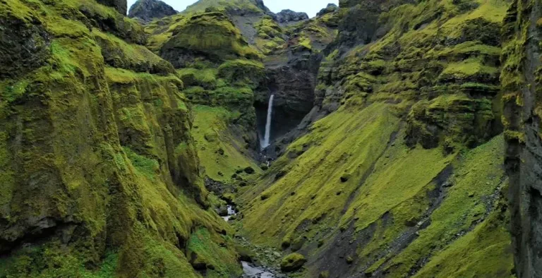
Múlafoss waterfall Iceland

Múlafoss waterfall (click to enlarge).

Location: Southeast, see the map of Mulafoss
Height: 50m (164ft)
Road accessible by: 2wd car in summer, super jeep/inaccessible in winter
Hiking time: 1-1,5 hour
Hiking distance: 3km (1,9mi)
Hiking difficulty: moderate*
Trail in winter: hardly/inaccessible
Trail link: Mulafoss hiking trail

Nauthusáfoss
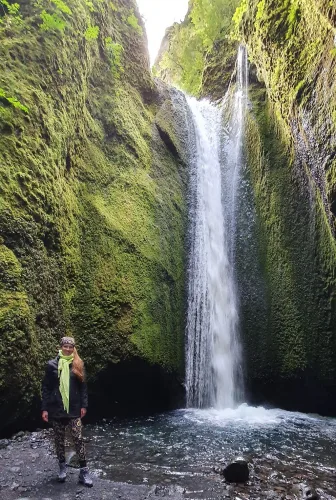
Nauthusáfoss waterfall Iceland

Nauthusáfoss waterfall (click to enlarge).

Location: South, see the map of Nauthusafoss
Height: 20m (66ft)
Road accessible by: 2wd car in summer, better 4wd car in winter
Hiking time: 20 minutes
Hiking distance: 800m (0,5mi)
Hiking difficulty: moderate
Trail in winter: inaccessible
Trail link: Nauthusafoss hiking trail
Our experience: Nauthusafoss visit

Neðstifoss and Miðfoss
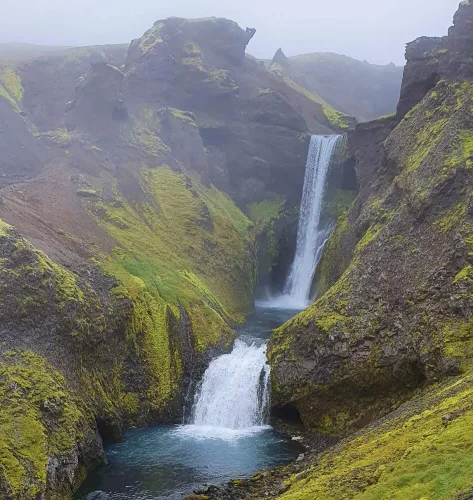
Neðstifoss and Miðfoss waterfall Iceland

Neðstifoss and Miðfoss waterfall (click to enlarge).

Location: South, see the map of Nedstifoss and Midfoss
Height: 15m (49ft)
Road accessible by: 2wd car
Hiking time: 2,5 hours
Hiking distance: 8km (5mi)
Hiking difficulty: moderate
Trail in winter: snowy/icy but accessible
Trail link: Nedstifoss and Midfoss hiking trail
Our experience: Nedstifoss and Midfoss visit

Núpsárfoss
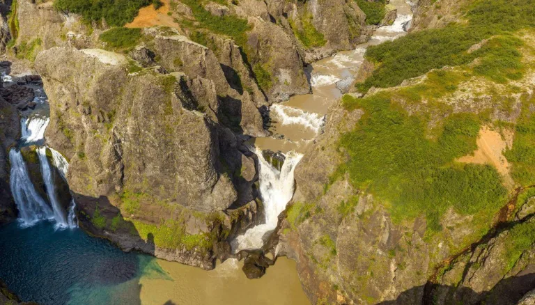
Núpsárfoss waterfall Iceland

Núpsárfoss waterfall (click to enlarge). Photo by Snorri Thor Trygvasson, CCM license. Source link.

Location: South, see the map of Nupsarfoss
Height: 25m (82ft)
Road accessible by: super jeep and only in summer
Hiking time: 1-4 hours
Hiking distance: 3-14 km (2-9mi)
Hiking difficulty: difficult
Trail in winter: inaccessible
Trail link: Nupsarfoss hiking trail

Nýifoss
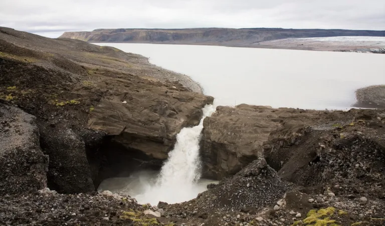
nyifoss waterfall iceland

Nýifoss waterfall (click to enlarge). Photo by Polarlys, CCM license, Source link.

Location: West, see the map of Nyifoss
Height: 40m (130ft)
Road accessible by: 4wd car in summer (F-road), super jeep/inaccessible in winter
Hiking time: 30-40 minutes
Hiking distance: 2km (1,3mi)
Hiking difficulty: moderate
Trail in winter: hardly/inaccessible
Trail link: Nyifoss hiking trail

Ófærufoss
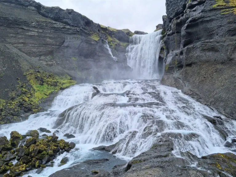
Ófærufoss waterfall Iceland

Ófærufoss waterfall (click to enlarge).

Location: South Highlands, see the map of Ofaerufoss
Height: 40m (131ft)
Road accessible by: 4wd car in summer (F-road), super jeep/inaccessible in winter
Hiking time: 40 minutes
Hiking distance: 2,5km (1,6mi)
Hiking difficulty: easy
Trail in winter: hardly/inaccessible
Trail link: Ofaerufoss hiking trail

Öxarárfoss
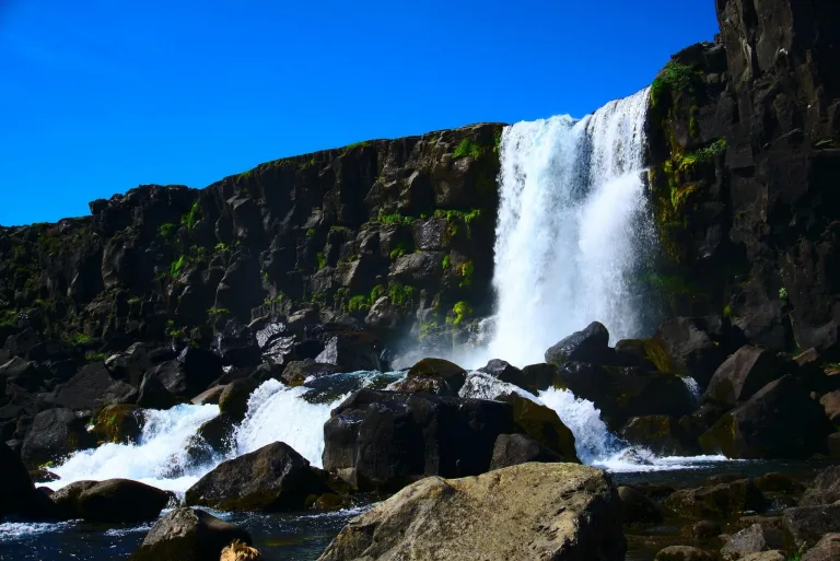
Öxarárfoss waterfall Iceland

Öxarárfoss waterfall (click to enlarge).

Location: West, see the map of Oxararfoss
Height: 7m (23ft)
Road accessible by: 2wd car
Hiking time: 10 minutes
Hiking distance: 400m (440yd)
Hiking difficulty: easy
Trail in winter: easily accessible
Trail link: Oxararfoss hiking trail

Prestagilsfoss

prestagilsfoss waterfall iceland

Prestagilsfoss (click to enlarge). Source link.

Location: East, see the map of Prestagilsfoss
Height: 160m (520ft)
Road accessible by: 2wd car in summer, super jeep in winter
Hiking time: 10 minutes
Hiking distance: 600m (0,4mi)
Hiking difficulty: moderate/difficult
Trail in winter: hardly/inaccessible
Trail link:

Rauðárfoss

Rauðárfoss waterfall Iceland

Rauðárfoss waterfall (click to enlarge).

Location: South, see the map of Raudarfoss
Height: 20m (66ft)
Road accessible by: 2wd car in summer, better 4wd car in winter*
Hiking time: 10*
Hiking distance: 300m* (330yd*)
Hiking difficulty: easy
Trail in winter: tougher, but accessible
Trail link: Raudarfoss hiking trail

Raudufossar
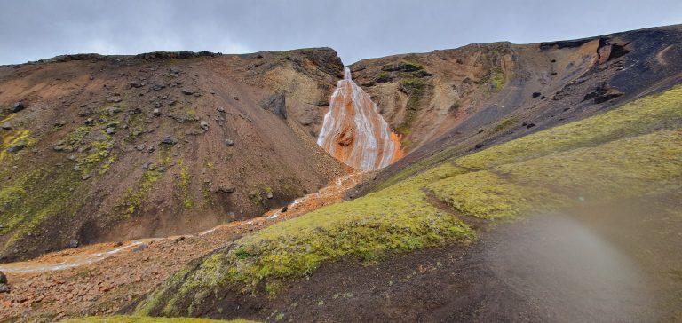
Raudufossar waterfall Iceland

Raudufossar waterfall (click to enlarge).

Location: South Highlands, see the map of Raudufossar
Height: 60m (197ft)
Road accessible by: 4wd car in summer (F-road), super jeep/inaccessible in winter
Hiking time: 20-30 minutes
Hiking distance: 1500m (0,9mi)
Hiking difficulty: moderate
Trail in winter: hardly/inaccessible
Trail link: Raudufossar hiking trail
Our experience: Raudufossar visit

Raudufossafjol
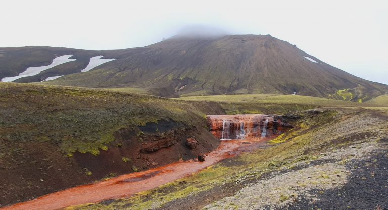
Raudufossafjol waterfall Iceland

Raudufossafjol waterfall (click to enlarge).

Location: South Highlands, see the map of Raudufossafjol
Height: 5m (16ft)
Road accessible by: 4wd car in summer (F-road), super jeep/inaccessible in winter
Hiking time: 1,5 hour
Hiking distance: 4,5km (2,8mi)
Hiking difficulty: moderate
Trail in winter: inaccessible
Trail link: Raudufossafjol hiking trail
Our experience: Raudufossafjol visit

Reykjafoss
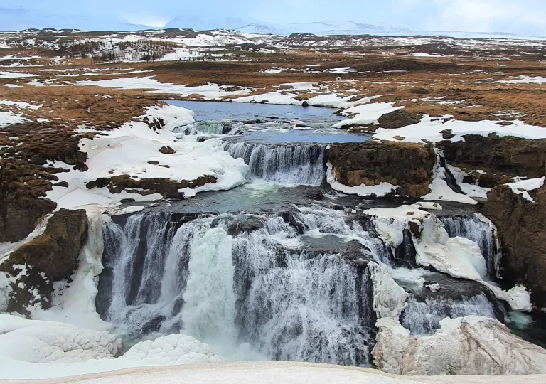
Reykjafoss waterfall Iceland

Reykjafoss waterfall (click to enlarge).

Location: North, see the map of Reykjafoss
Height: 20m (66ft)
Road accessible by: 2wd car in summer, better 4wd car in winter
Hiking time: 10 minutes
Hiking distance: 400m (440yd)
Hiking difficulty: easy
Trail in winter: muddy/snowy/icy but accessible
Trail link:
Our experience: Reykjafoss visit

Rjúkandi
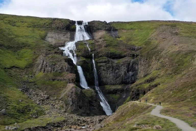
Rjúkandi waterfall Iceland

Rjúkandi waterfall (click to enlarge).

Location: East, see the map of Rjukandafoss
Height: 139m (456ft)
Road accessible by: 2wd car
Hiking time: 5-10 minutes
Hiking distance: 300m (330yd)
Hiking difficulty: easy
Trail in winter: icy but accessible
Trail link:

Rollutorfufoss

Rollutorfufoss waterfall Iceland

Rollutorfufoss waterfall (click to enlarge).

Location: South, see the map of Rollutorfufoss
Height: 5m (16ft)
Road accessible by: 2wd car
Hiking time: 45 minutes
Hiking distance: 2,5km (1,6mi)
Hiking difficulty: moderate
Trail in winter: snowy/icy but accessible
Trail link: Rollutorfufoss hiking trail

Selfoss
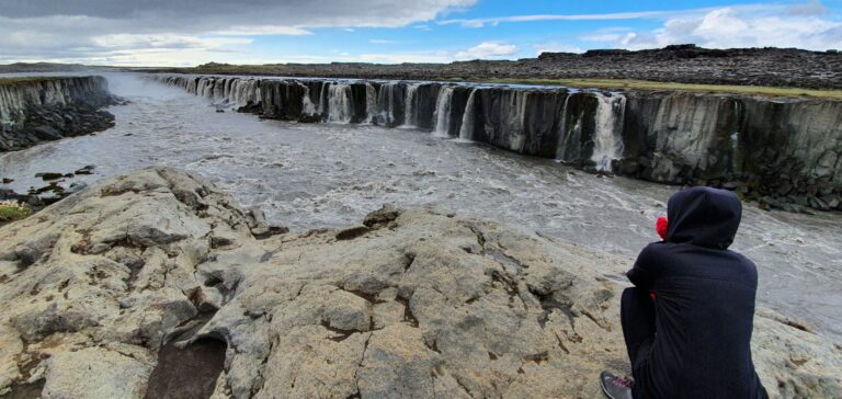
Selfoss waterfall Iceland

Selfoss waterfall (click to enlarge).

Location: Northeast, see the map of Selfoss
Height: 10m (33ft)
Road accessible by: 2wd car in summer, super jeep in winter
Hiking time: 30 minutes
Hiking distance: 2km (1,2mi)
Hiking difficulty: moderate
Trail in winter: snowy/icy but accessible
Trail link: Selfoss hiking trail
Our experience: Selfoss visit

Seljalandsfoss
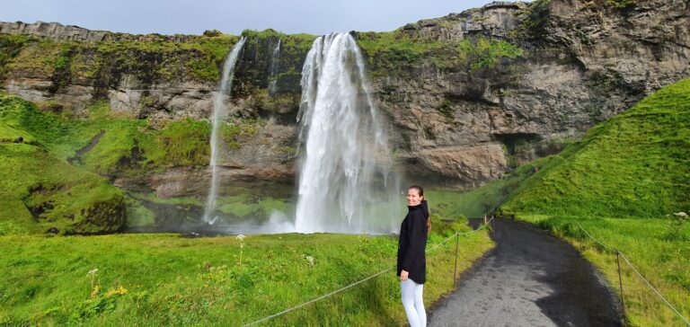
Seljalandsfoss waterfall Iceland

Seljalandsfoss waterfall (click to enlarge).

Location: South, see the map of Seljalandsfoss
Height: 65m (213ft)
Road accessible by: 2wd car
Hiking time: 3 minutes
Hiking distance: 150m (160yd)
Hiking difficulty: easy
Trail in winter: easily accessible
Trail link:
Our experience: Seljalandsfoss in summer, Seljalandsfoss in winter

Selvallafoss
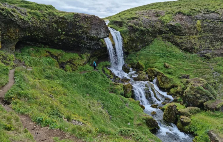
Selvallafoss waterfall Iceland

Selvallafoss waterfall (click to enlarge).

Location: Snaefellsnes, see the map of Selvallafoss
Height: 10m (33ft)
Road accessible by: 2wd car in summer, better 4wd car in winter
Hiking time: 5 minutes
Hiking distance: 200m (220yd)
Hiking difficulty: easy
Trail in winter: muddy/snowy/icy but accessible
Trail link:

Sigöldufoss

Sigöldufoss waterfall Iceland

Sigöldufoss waterfall (click to enlarge). Photo by Mickaël Delcey (Silverkey), CCM license. Source link.

Location: South Highlands, see the map of Sigoldufoss
Height: 10m (33ft)
Road accessible by: 2wd car in summer, super jeep in winter
Hiking time: next to the road/parking
Hiking distance: 50m (60yd)
Hiking difficulty: easy
Trail in winter: easily accessible
Trail link:

Skalabrekkufoss

Skalabrekkufoss waterfall Iceland

Skalabrekkufoss waterfall (click to enlarge).

Location: South, see the map of Skalabrekkufoss
Height: 43m (141ft)
Road accessible by: 2wd car
Hiking time: 1 hour
Hiking distance: 3,5km (2,2mi)
Hiking difficulty: moderate
Trail in winter: snowy/icy but accessible
Trail link: Skalabrekkufoss hiking trail
Our experience: Skalabrekkufoss visit

Skiptárfoss
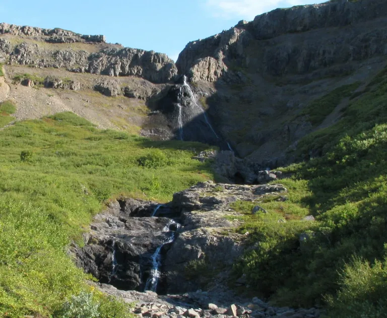
Skiptárfoss waterfall Iceland

Skiptárfoss waterfall (click to enlarge). Photo by Bromr, CCM license. Source link.

Location: Westfjords, see the map of Skiptarfoss
Height: 80m (262ft)
Road accessible by: 2wd car in summer, 4wd car in winter*
Hiking time: 2*
Hiking distance: 50m* (60yd*)
Hiking difficulty: easy
Trail in winter: muddy/snowy/icy but accessible
Trail link:

Skógafoss

Skógafoss waterfall Iceland

Skógafoss waterfall (click to enlarge).

Location: South, see the map of Skogafoss
Height: 62m (203ft)
Road accessible by: 2wd car
Hiking time: 2-10 minutes
Hiking distance: 100-300m (100-330yd)
Hiking difficulty: easy
Trail in winter: easily accessible*
Trail link:
Our experience: Skógafoss in summer, Skógafoss in winter

Skorhagafoss
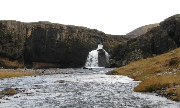
Skorhagafoss waterfall Iceland

Skorhagafoss waterfall (click to enlarge). Photo by Bromr, CCM license. Source link.

Location: West, see the map of Skorhagafoss
Height: 8m (26ft)
Road accessible by: 2wd
Hiking time: 2 minutes
Hiking distance: 50m (60yd)
Hiking difficulty: easy
Trail in winter: easily accessible
Trail link:

Skútafoss

Skútafoss waterfall Iceland

Skútafoss waterfall (click to enlarge).

Location: Southeast, see the map of Skutafoss
Height: 6m (20ft)
Road accessible by: 2wd car
Hiking time: 15 minutes
Hiking distance: 700m (0,4mi)
Hiking difficulty: easy
Trail in winter: muddy/snowy/icy but accessible
Trail link: Skutafoss hiking trail
Our experience: Skútafoss visit

Snædalsfoss
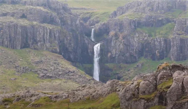
Snædalsfoss waterfall Iceland

Snædalsfoss waterfall (click to enlarge).

Location: Southeast, see the map of Snaedalsfoss
Height: 37m (121ft)
Road accessible by: 2wd car
Hiking time: 20-25 minutes
Hiking distance: 1km (0,7mi)
Hiking difficulty: moderate/difficult
Trail in winter: muddy/snowy/icy but accessible
Trail link: Snaedalsfoss hiking trail

Staðarfoss
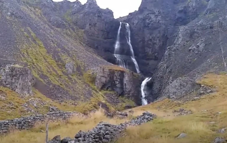
Staðarfoss waterfall Iceland

Staðarfoss waterfall (click to enlarge).

Location: Westfjords, see the map of Stadarfoss
Height: 30m (98ft)
Road accessible by: 2wd car in summer, 4wd car in winter
Hiking time: 10-15 minutes
Hiking distance: 500m (0,3mi)
Hiking difficulty: easy
Trail in winter: muddy/snowy/icy but accessible
Trail link:

Stakkholtsgjáfoss

Stakkholtsgjáfoss waterfall Iceland

Stakkholtsgjáfoss waterfall (click to enlarge).

Location: South Highlands, see the map of Stakkholtsgjafoss
Height: 30m (98ft)
Road accessible by: large 4wd car in summer (F-road), super jeep in winter
Hiking time: 30-40 minutes
Hiking distance: 1,5km (0,9mi)
Hiking difficulty: difficult
Trail in winter: hardly/inaccessible
Trail link: Stakkholtsgjafoss hiking trail
Our experience: Stakkholtsgjafoss visit

Steinbogafoss
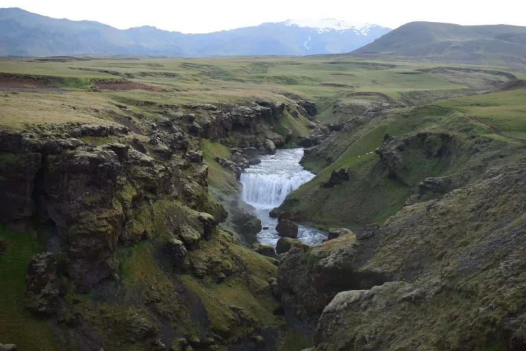
Steinbogafoss waterfall Iceland

Steinbogafoss waterfall (click to enlarge).

Location: South, see the map of Steinbogafoss
Height: 8m (26ft)
Road accessible by: 2wd car
Hiking time: 30 minutes
Hiking distance: 1,5km (0,9mi)
Hiking difficulty: moderate
Trail in winter: snowy/icy but accessible
Trail link: Steinbogafoss hiking trail

Stigafoss
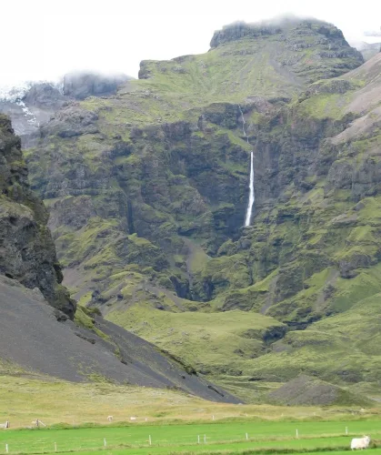
Stigafoss waterfall Iceland

Stigafoss waterfall (click to enlarge). Photo by Bromr, CCM license. Source link.

Location: South Highlands, see the map of Stigafoss
Height: 138m (453ft)
Road accessible by: large 4wd car in summer (F-road), super jeep in winter
Hiking time: 15-20 minutes
Hiking distance: 1km (0,6mi)
Hiking difficulty: moderate
Trail in winter: hardly/inaccessible
Trail link:

Stjórnarfoss

Stjórnarfoss waterfall Iceland

Stjórnarfoss waterfall (click to enlarge). Photo by Bromr, CCM license. Source link.

Location: South, see the map of Stjornafoss
Height: 6m (20ft)
Road accessible by: 2wd car
Hiking time: 5 minutes
Hiking distance: 200m (220yd)
Hiking difficulty: easy
Trail in winter: easily accessible
Trail link:

Strompgljúfrafoss

Strompgljúfrafoss waterfall Iceland

Strompgljúfrafoss waterfall (click to enlarge).

Location: Westfjords, see the map of Strompgljufrafoss
Height: 20m (66ft)
Road accessible by: 2wd car in summer, 4wd car in winter
Hiking time: 10 minutes
Hiking distance: 550m (0,3mi)
Hiking difficulty: easy
Trail in winter: snowy/icy but accessible
Trail link: Strompgljufrafoss hiking trail
Our experience: Strompgljufrafoss visit

Strútsfoss

Strútsfoss waterfall Iceland

Strútsfoss waterfall (click to enlarge).

Location: East, see the map of Strutsfoss
Height: 120m (394ft)
Road accessible by: 2wd car in summer, 4wd car/super jeep in winter
Hiking time: 1 hour
Hiking distance: 4km (2,5mi)
Hiking difficulty: easy
Trail in winter: hardly/inaccessible
Trail link: Strutsfoss hiking trail

Stuðlafoss
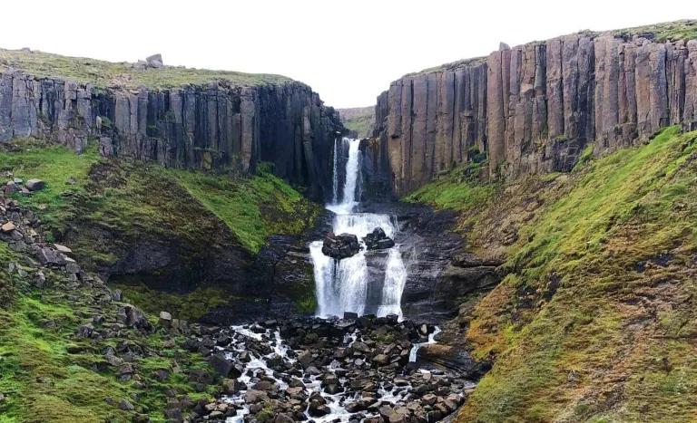
Stuðlafoss waterfall Iceland

Stuðlafoss waterfall (click to enlarge).

Location: East, see the map of Studlafoss
Height: 15m (49ft)
Road accessible by: 2wd car in summer, super jeep in winter
Hiking time: 40 minutes
Hiking distance: 2,5km (1,6mi)
Hiking difficulty: moderate
Trail in winter: hardly/inaccessible
Trail link: Studlafoss hiking trail

Svartifoss
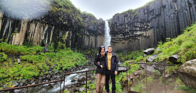
Svartifoss waterfall Iceland

Svartifoss waterfall (click to enlarge).

Location: Southeast, see the map of Svartifoss
Height: 20m (66ft)
Road accessible by: 2wd car
Hiking time: 30 minutes
Hiking distance: 2km (1,2mi)
Hiking difficulty: easy
Trail in winter: snowy/icy but accessible
Trail link: Svartifoss hiking trail
Our experience: Svartifoss visit

Svöðufoss
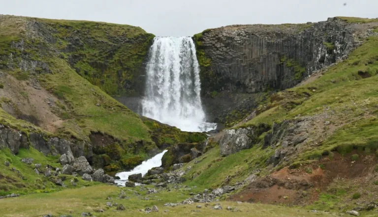
Svöðufoss waterfall Iceland

Svöðufoss waterfall (click to enlarge). Photo by Veronique Lopez, CCM license.

Location: Snaefellsnes, see the map of Svodufoss
Height: 40m (131ft)
Road accessible by: 2wd car in summer, better 4wd car in winter
Hiking time: 15 minutes
Hiking distance: 800m (0,5mi)
Hiking difficulty: moderate
Trail in winter: snowy/icy but accessible
Trail link: Svodufoss hiking trail

Systrafoss

Systrafoss waterfall Iceland

Systrafoss waterfall (click to enlarge). Source link.

Location: South, see the map of Systrafoss
Height: 80m (262ft)
Road accessible by: 2wd car
Hiking time: next to the road/parking
Hiking distance: 50m (60yd)
Hiking difficulty: easy
Trail in winter: easily accessible
Trail link:

Þjófafoss

Þjófafoss waterfall Iceland

Þjófafoss waterfall (click to enlarge). Photo by Grunkhead, CCM license. Source link.

Location: South Highlands, see the map of Thjofafoss
Height: 15m (49ft)
Road accessible by: better 4wd car in summer, super jeep in winter
Hiking time: next to the road/parking
Hiking distance: 100m (110yd)
Hiking difficulty: easy
Trail in winter: snowy/icy but accessible
Trail link:

Þórðarfoss

Þórðarfoss waterfall Iceland

Þórðarfoss waterfall (click to enlarge). Photo by Bromr, CCM license. Source link.

Location: South, see the map of Thordarfoss
Height: 80m (262ft)
Road accessible by: 2wd car in summer, 4wd car in winter
Hiking time: 5-10 minutes
Hiking distance: 300m (330yd)
Hiking difficulty: easy
Trail in winter: snowy/icy but accessible
Trail link:

Tófufoss

Tófufoss waterfall Iceland

Tófufoss waterfall (click to enlarge).

Location: East, see the map of Tofufoss
Height: 8m (26ft)
Road accessible by: 2wd car in summer, 4wd car in winter
Hiking time: 3 minutes
Hiking distance: 100m (110yd)
Hiking difficulty: easy
Trail in winter: easily accessible
Trail link:

Tröllafoss

Tröllafoss waterfall Iceland

Tröllafoss waterfall (click to enlarge). Photo by Bromr, CCM license. Source link.

Location: West, see the map of Trollafoss
Height: 10m (33ft)
Road accessible by: 2wd car in summer, 4wd car/super jeep in winter
Hiking time: next to the road/parking
Hiking distance: 50m (60yd)
Hiking difficulty: easy
Trail in winter: muddy/snowy/icy but accessible
Trail link:

Tungnaárfellsfoss

Tungnaárfellsfoss waterfall Iceland

Tungnaárfellsfoss waterfall (click to enlarge). Photo by John Inrik, CCM license. Source link.

Location: South Highlands, see the map of Tungnaarfellsfoss
Height: 5m (16ft)
Road accessible by: 2wd car in summer, super jeep in winter
Hiking time: 10 minutes
Hiking distance: 500m (0,3mi)
Hiking difficulty: easy
Trail in winter: hardly/inaccessible
Trail link:

Urriðafoss

Urriðafoss waterfall Iceland

Urriðafoss waterfall (click to enlarge). Photo by Ulrich Hess, CCM license. Source link.

Location: Southwest, see the map of Urridafoss
Height: 4m (13ft)
Road accessible by: 2wd car
Hiking time: next to the road/parking
Hiking distance: 50m (60yd)
Hiking difficulty: easy
Trail in winter: easily accessible
Trail link:

Valafoss

Valafoss waterfall Iceland

Valafoss waterfall (click to enlarge). Photo by nonnio, CCM license.

Location: Snaefellsnes, see the map of Valafoss
Height: 60m (197ft)
Road accessible by: 2wd car in summer, better 4wd car in winter
Hiking time: 3-4 hours
Hiking distance: 8-10km (5-6mi)
Hiking difficulty: difficult
Trail in winter: inaccessible
Trail link: Valafoss hiking trail

Valagil
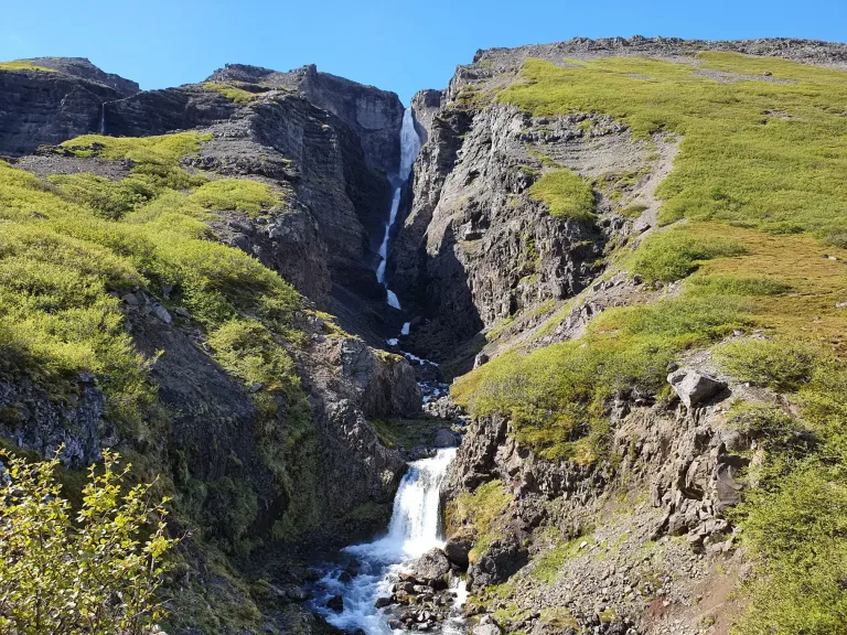
Valagil waterfall Iceland

Valagil waterfall (click to enlarge). Photo by Werner, CCM license. Source link.

Location: Westfjords, see the map of Valagil
Height: 80m (262ft)
Road accessible by: 2wd car in summer, 4wd car in winter
Hiking time: 30-40 minutes
Hiking distance: 2km (1,2mi)
Hiking difficulty: moderate
Trail in winter: hardly/inaccessible
Trail link: Valagil hiking trail

Vestdalsfossar
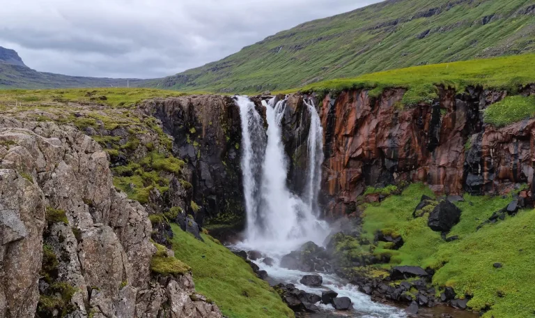
Vestdalsfossar waterfall Iceland

Vestdalsfossar waterfall (click to enlarge).

Location: East, see the map of Vestdalsfossar
Height: 14m (46ft)
Road accessible by: 2wd car in summer, better 4wd car in winter
Hiking time: 10 minutes
Hiking distance: 600m (0,4mi)
Hiking difficulty: moderate
Trail in winter: muddy/snowy/icy but accessible
Trail link: Vestdalsfossar hiking trail
Our experience: Vestdalsfoss visit

epic iceland facebook group ask questions or get inspired in our community
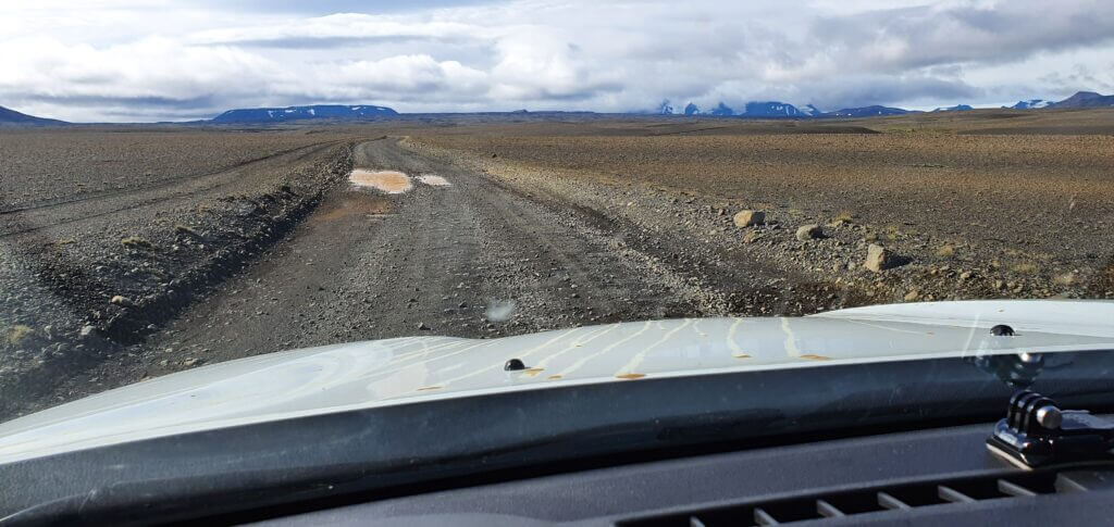
Posted by Igor in Top Places, 3 comments
Þakgil – Full Guide + Best Hiking Trails

Þakgil – Full Guide + Best Hiking Trails

Þakgil is an amazingly beautiful hiking area, yet there was no detailed guide to Thakgil, nor any detailed description of the best hiking trails in Þakgil. We want to fill this gap and will be writing in deep detail about all the hiking trails, the Thakgil campsite, how to get to Þakgil, what to see, and when to go.

Hikes in Thakgil definitely belong to the best hikes in Iceland. Some people incorrectly spell the Icelandic name Þakgil as “Pakgil”, but it’s not “P”, it’s “TH” as Thór. And Thakgil is a hiking paradise full of canyons, ravines, waterfalls and even melting glaciers! Þakgil is located pretty close to Vik, a very popular city in southern Iceland, very well accessible to all tourists. There are three main hiking trails and several possible detours.

Most of the other blogs out there describe only one of the Þakgil hikes in detail – the purple one – the Remundargil ravine hike. Probably, because it’s the easiest and the quickest one. However, definitely not the most rewarding one 🙂

That being said, we will do the opposite. We will describe in detail our day hike which included hiking a yellow trail and a red trail in Thakgil. These hikes are called the Austurafréttur hike and the Mælifell hike. We also added an amazing hidden bonus – a hike to Huldujökull glacier.

When to visit Þakgil

Same as for all parts of the Highland of Iceland, you can visit Thakgil only in summer when the hiking trails are open. When do hiking trails in Þakgil open? The trails open once there is no snow on the trails. This usually happens any time between the beginning of June and the first half of July.

When do the Thakgil hiking trails close? The trails close after the first heavier snowfall. The first heavier snowfall typically reaches Þakgil at any time between the first half of September and the end of October.

canyon red Mælifell trail Þakgil iceland

Magnificent canyon next to the red Maelifell trail, Þakgil

So, when should you visit Thakgil? To be sure to have clear and dry trails, visit Þakgil between the first half of July and the second half of September. This period also coincides with the mildest and warmest weather, which you will definitely need. For 100% accurate info on the current state of the trails, please contact the campsite or safetravel.is.

Can I visit Þakgil in winter? Outside of the main season? Only in theory. First of all, the road leading to Thakgil is full of snow at that time. Secondly, the trails are full of snow too. This means both the road as well as the trails are very dangerous to navigate and you should never do that without a professional guide. Even with their help, Þakgil is typically inaccessible between October and May.

Tips on the most beautiful places in Icelandic Highlands.

How to get to Þakgil

The only way to get to Thakgil is to use the gravel Road 214, Kerlingardalvegur. Since the road is 16 kilometers (10 miles) long, you have to rent a car or hitchhike. There’s no bus service to Þakgil. You may probably be able to arrange some expensive private transport, but in that case, better rent a car.

road to thakgil iceland

Beginning of the road to Þakgil. This was the easiest part.

Road to Þakgil

Kerlingardalvegur, or Road 214, leading to Thakgil is a pretty bumpy gravel road. Road to Thakgil is officially a normal 3-digit road, however, it could quickly be classified as an F-road. I could easily name several F-roads that are easier (and more comfortable) to drive on than Road 214. The thing is, the road to Þakgil doesn’t contain any river crossings, so they decided to classify it as a normal road.

The road is open to normal vehicles only in summer. In winter there’s usually “no winter service”. What does it mean? Feel free to read our article about Icelandic Roads to find out more. Long story short, expect a very bumpy and slow drive with many potholes and in summer also many fellow tourists.

road 214 Kerlingardalvegur thakgil iceland

Road 214 Kerlingardalvegur to Þakgil on a beautiful sunny day.

Do you need a 4×4 to get to Thakgil? The road to Thakgil is definitely passable also in a 2wd car, but you will feel much safer in a 4×4 car. I’m glad we had our Land Cruiser. This way we didn’t need to worry about any damages to the car’s undercarriage / chassis. Or you can rent with Lotus, the only car rental company in Iceland which insures undercarriage / chassis). If you are interested in details of how car rental insurance works in Iceland, we wrote a detailed guide on that.

All that being said, if you are lucky enough with the weather, the road to Þakgil is amazingly beautiful on a sunny day. A scenic drive through a valley full of river streams, black ash, and green moss hills everywhere around you with a lush green Thakgil valley slowly coming closer to you in the background. Totally worth the bumpy drive.

Parking in Thakgil

The only actual sort of “official” car park in Þakgil is located at the campsite. This is probably the best spot to leave your car and it’s free unless you stay overnight. That would be camping already and you need to pay for that. Not all the hikes in Thakgil begin at the Thakgil campsite, though – see the map of Thakgil hiking trails below.

parking Þakgil iceland

We left our car on the gravel, next to the road, close to the purple hiking trail.

If you want to park your car as close to the beginning of your chosen hiking trail as possible, you may also park the car next to a road, close to the start of the hiking trail (as we did). However, please keep strictly in mind, that you can NOT park on the moss or grass. You have to find a gravel spot or a spot where there’s nothing you may potentially destroy and evidently other cars have already parked there before. Additionally, never leave your car parked on the road itself! Park NEXT to the road. If you are unsure about where to park, better leave your car at the campsite, it’s pretty close to all the trails anyway.

A detailed guide on How to choose the best Car for Iceland.

Thakgil campsite

Þakgil campsite is probably one of the most beautiful campsites in Iceland. Thakgil camping is located directly in the heart of Þakgil. In summer you will be surrounded by magnificent lush green hills and ravines. There’s also a much more expensive possibility to book your private hut. Take a look at the website of the campsite for an up to date info. The website may be a bit outdated from time to time (seems like locals are not much of web admins, understandably) but the phone number is working, so I suggest you call them if you need anything. They do speak (simple) English 🙂

Þakgil campsite iceland

Þakgil campsite

If you want to book a hut or accommodation nearby, we highly suggest you do so enough in advance. Huts in Thakgil are in very high demand in summer. With simple camping, you don’t need to book in advance. It’s a first come, first serve system and I don’t remember the campsite being full at any time. There’s also a possibility to ask for the current trail conditions at the campsite. Sometimes you may also get an accurate answer. Don’t rely on that, though – see our hiking story below :).

Hiking trails in Þakgil

  • Ravine walk from the campsite, 1km, 15-20 minutes
  • Remundargil ravine (purple trail), 13km, 3-5 hours
  • Austurafréttur range (yellow trail), 17km, 6-8 hours
  • Maelifell (red trail), 14km, 4-5 hours
  • Huldujökull glacier detour (white trail), 3km, 1-3 hours
  • Austurafréttur + Maelifell + Huldujökull loop (yellow + red +white trail), 20km, 6-9 hours

Map of the hiking trails in Þakgil

There are 3 main hiking trails in Þakgil – the red trail, the yellow trail, and the purple trail. Then there are several “side” trails. See the hiking map of Thakgil below. This map is accurate and you can rely on it. The original map, however, didn’t mark any dangerous parts, or river crossings. That’s why we added our notes to the map and we suggest you read our entire article if you plan on going hiking in Thakgil.

Map Þakgil hiking trails

Map of Þakgil hiking trails with our notes (click to enlarge)

If I had to rank the main trails by difficulty, the order would be as follows:

  • Common red/yellow trail (the easiest)
  • Yellow and purple trails (medium)
  • Red trail (more difficult)
thakgil all hiking trails map

Local map of all the hiking trails, roads and tracks in Thakgil (click to enlarge)

The alternative map above depicts all these trails (including the detour) and distinguishes between hiking trails only (yellow/green dashed line) and buggy/jeep tracks (brown) which also serve as hiking trails.

Myths and Facts about hiking in Thakgil

The lack of factual information about hiking trails in Thakgil gives rise to many weird myths about Thakgil. Below we answer all questions we’ve heard about Þakgil.

What is the best hiking trail in Thakgil?

The most beautiful trails are the eastern part of the Yellow trail and the western part of the Red trail, in our opinion. They are also the most difficult trail segments. Views from these parts of the trails are simply stunning, see our trip report below. Probably the most beautiful unmarked detour from these trails is a detour to Huldujökull glacier.

Þakgil canyon iceland

The red Mælifell trail is very green, full of spectacular canyons and ravines.

Is one day in Thakgil enough?

If you catch the nice weather, one day is definitely enough to see the best of Þakgil. If you want to hike all the trails, it would take you 2 days if you are a quick hiker, and 3 days if you are a slow hiker. Just bear in mind, the trails and the surrounding landscapes are somewhat similar, so it doesn’t entirely make sense to hike every single inch of all of them.

The yellow and the red trail may be done in 1 day as a huge loop. This is exactly what we’ve done and couldn’t be happier! Totally worth every mile! The yellow and the red trail are pretty diverse and quite different from each other – it felt like hiking at two different places. The entire loop took us 9 hours to finish, including many photo pauses, a longer lunch break, and losing almost an hour by finding the proper route when crossing the river. See our trip report below.

Many useful discounts on Icelandic car rentals and Guided tours.

How difficult are the hiking trails in Thakgil?

The hiking trails in Þakgil are of medium difficulty. They are definitely not easy hikes for families with little children or for the elderly. They are also not any mountaineering expeditions. No special equipment is required in summer. We recommend taking hiking poles and if you plan to hike the red trail, then also water shoes for the river crossing.

maelifell red hiking trail thakgil iceland

Steep descent from the red hiking trail in Þakgil

Can you get to Thakgil with a 2wd car?

Yes, you can, but you will have to drive slowly and there’s a chance you may damage your car because the road to Thakgil is very bumpy. We recommend taking any 4wd car and driving carefully.

Is the yellow trail the most beautiful one?

We think that the eastern part of the yellow trail and the western part of the red trail are the most beautiful trails. If we had to choose just one, it would be a hard decision. The yellow trail is definitely an easier one, though, with no river crossings.

The least exciting trail is the common red/yellow trail because it leads via old jeep tracks. This part of the trail is, on the other hand, also the easiest part to hike. If you aim for a worry-free hike, or you are simply hiking in unfavorable weather, then go for this trail.

yellow trail Þakgil iceland

Amazing views from the yellow hiking trail in Þakgil

Should you do the Þakgil hikes only in the nice weather?

Yes, definitely. Aim for clear skies and no strong winds. The hikes are doable in light rain and slightly windy weather, but if it gets worse, they may be pretty dangerous. There are some steep ridges and slippery parts, so please, choose your day wisely and better turn back when feeling unsafe.

Especially the western part of the red trail and the eastern part of the yellow trail are pretty dangerous if it strongly rains/snows/wind blows, regardless of your hiking experience. The common red/yellow trail should be fine because it leads through the old road/track. However, consider also the views – if it’s foggy, you will see nothing despite doing a pretty demanding hike.

Is the yellow trail dangerous?

I’ve read that the yellow trail is pretty demanding, steep, and dangerous at some points and you should better do it starting from the east (counter-clockwise).

Well, I don’t think this is true. From our experience, the route is doable in both directions in good weather and if you are used to longer hikes. If you are not used to hiking, then yes, this trail is demanding and possibly dangerous.

rainy red trail thakgil iceland

Rainy picture from the middle of the red hiking trail in Þakgil. Still amazing views.

All trails are dangerous during bad weather, like strong rain, strong wind, snow, or bad visibility due to fog. In the nice weather, the yellow trail is not more dangerous than the other trails of Thakgil in any way. In fact, the most dangerous trail is the red trail in our opinion, due to the sharp ridge part and river crossings.

Do you have to cross the river during the hikes?

Only when hiking the red Maelifell trail. There are 3 river crossings located close to the campsite. The river is pretty fast flowing and it’s no joke to ford it, see our experience below. Take water shoes, adhere to river fording principles, and always hike at minimum in a group of 2.

Is the purple trail and the common red/yellow trail worth hiking?

Of course, they are worth hiking 🙂 The entire Þakgil area is totally beautiful and all the hikes are nice. We are just cherry-picking here the best out of the already beautiful options.

Hiking the Yellow and Red trail loop – our experience

view top maelifell thakgil iceland

Our rainy and a bit foggy view from top of Mælifell red trail in Thakgil

Yellow hiking trail in Thakgil, also known as Austurafréttur, is one of the two hikes we consider the most amazing in Thakgil and also the most difficult. The second one is the red trail to Maelifell. Here is a link to our Wikiloc hiking trail in Þakgil.

The yellow trail is probably slightly easier than the red one, though. You may form your own opinion after reading our report. As you can see on the map, there are several options for how to hike the yellow trail. We chose the counter-clockwise direction, i.e. an ascent from the east and a hike towards the Austurafréttur range. It took us 3 hours one way to hike the eastern part of the yellow trail and to reach the Huldujökull glacier.

Map yellow red trail loop Thakgil

Map of the yellow-red loop hiking trail in Þakgil we took

There are several different starting points for the yellow trail available. We aimed to choose the “most efficient” starting point to minimize walking on the road and maximize hiking the trail itself. That being said, we parked our car at the intersection of the road to Þakgil and the purple hiking trail, see above.

We had first crossed the little stream next to the road, then ascended up via the purple trail, and then continued to the north via the yellow trail.

The ascent towards the Remundargil ravine

We started our hike by first crossing the river. It was possible to cross the river by jumping and we didn’t have to take our shoes off. Hiking poles definitely helped. The river is pretty narrow, though, and it was also possible to find some “jumping stones” to cross the river through. Afterward, the hike began with a pretty steep, but safe, climb on the purple trail. The climb led to the intersection with the yellow trail, up on the ridge.

remundargil ravine Þakgil iceland

First ascent via the purple Remundargil ravine trail crossing our yellow trail. Our car is in the distance.

Technically, we haven’t done the “entire“ yellow trail, because we made a shortcut via the purple trail, and the yellow trail continues further toward the southeast. Nevertheless, we made this decision on purpose, because we wanted to save some time for a hike towards Huldujökull. Moreover, the southernmost part of the yellow trail (which we skipped) is said to be the least interesting one.

A pretty steep, but short ascent via the purple trail led us up towards an intersection with a yellow trail, where we continued left on the yellow trail. After finishing the ascent, you will be rewarded with amazingly beautiful 360 degrees views. Only 15 minutes into the hike and you may already admire the stunning beauty of Þakgil from this viewpoint. Our car already looked so tiny in the distance after the climb.

Austurafréttur trail

I’ve read on some blogs that the yellow trail is unmarked. This is not true at all. The yellow trail is well-marked. After an intersection of a purple and a yellow trail, the yellow trail then continues to the north as a gravel path. This part of the trail is slightly boring but doesn’t last very long. No worries, many nice views are yet to come.

yellow hiking trail austurafrettur Þakgil iceland

View after the first ascent towards Austurafréttur range – the yellow hiking trail

You will soon reach a point where you have to perform one additional steep ascent. This ascent leads via the old moss field and can be very tricky if it’s wet because it can become pretty slippery. We had perfect weather with blue skies, therefore also no problems with the ascent at all, just burning some calories. After this last ascent, the trail mostly continues as a gravel path along the eastern edge of the pretty wide Austurafréttur ridge.

Another picturesque viewpoint will soon pop up on your right – a view over a gigantic Kötlujökull glacier. This viewpoint may serve as one of the great picnic spots as well. The yellow trail then continues further north along the edge of the ridge and several little waterfalls and canyons can be observed in the distance, right next to the Kötlujökull glacier.

Kotlujökull glacier Þakgil iceland

Views over the Kotlujökull glacier from the yellow Austurafréttur range trail

You will then reach the point where the yellow trail (and marks) start turning left and lead to the dirt tracks probably used by jeeps or ATVs/quad bikes. This is where the marked yellow trail connects to the dirt road and continues back west to the intersection with the red trail. On top of the yellow trail to the left, however, you have the option to continue further north towards Huldujökull glacier. This is exactly what we’ve done and what I highly recommend on a nice day!

Hike to Huldujökull glacier

After hiking the eastern part of the yellow trail, you will reach an intersection of yellow marks (continuing to the left) and white marks (continuing straight ahead in the northern direction). We followed the white marks and made a detour away from the yellow trail towards the melting Huldujökull glacier (which our friend Dace kindly pointed out to us, thank you!). An ideal time to hike this trail is summer – because this is when the glacier melting may actually be observed and witnessed in real time!

Huldujökull glacier hike Þakgil iceland

Amazing views at the melting Huldujökull glacier in Þakgil

White Trail

You won’t find a white hiking trail to Huldujökull on a classical hiking map, only on a local Icelandic map. It leads via a pretty dull stony/gravel path on the eastern edge of this Thakgil ridge. However, the trail itself is not your main aim here. Instead, you aim for reaching the Huldujökull Glacier, which will slowly start to reveal itself in front of you (on a nice day with good visibility). Hiking the white/unmarked trail to the glacier and back took us roughly 2.5 hours including a lunch break and many pauses for photos.

thakgil huldujokull glacier white trail

Scarce white marks on the white “bonus” trail leading to amazing Huldujökull melting glacier in Þakgil

If I remember correctly, at some point even white marks disappeared. Nevertheless, the orientation is not that hard, because you more or less hike pretty close to the eastern edge of the wide ridge all the time. After the marks had disappeared, we simply followed the edge until the edge basically ended. This included a few little ascents and descents on stony terrain. Although being unmarked, a walk like this is perfectly fine, unless you don’t damage anything “alive” (like moss, please don’t step on any!).

Huldujökull Glacier Views

There are many different viewpoints of Huldujökull, just have in mind where it’s located and you can definitely get there. I don’t recommend going in foggy or (strongly) rainy weather though. Not only you will not see a thing but you may also get lost.

thakgil iceland melting glacier trail

Final, unmarked part of the trail leading to the melting Huldujökull glacier

After reaching the northern edge of this Thakgil ridge a monumental view over almost the entire Huldujökull Glacier opened directly in front of us. And not only that! We had a chance to witness a bit sad but amazingly beautiful phenomenon of a melting glacier! Right in front of us. We were even lucky enough to observe and hear a massive fall of part of the glacier into the ravine below, due to thawing. I’ve caught one of these falls on camera (see the video below, to be added later). Power of nature as a live broadcast.

We made a little picnic with views over a thawing glacier and soaked up the sunrays on this heavenly beautiful day. We then admired the glacier from many viewpoints, hiking a bit to the west. Subsequently, we hiked back via an unmarked trail to reach the yellow, marked one. We’ve first seen the yellow marks and then reached the intersection of a red and a yellow trail.

Huldujökull glacier Þakgil iceland

The end of the partially unmarked white hiking trail in Þakgil

Hiking the Red trail to Mælifell

The red trail in Thakgil is full of lush green valleys and peaks, amazing canyons, and green river valley views. We totally recommend it, just please go only if you are a more experienced hiker. There are 2-3 pretty exposed and steep parts towards the southern part of the trail. It took us 4-5 hours one way to complete the western part of the red trail, including a 1-hour search for the correct river crossing route.

thakgil red hiking trail maelifell

Beginning of the red hiking trail, near the top, near the intersection with the yellow trail. Mælifell on the right.

Originally, we had planned on doing only the yellow trail, i.e. we had wanted to descend back via the common yellow/red trail (western part of the yellow trail / eastern part of the red trail). However, once we reached the intersection of a yellow and a red trail, we realized that this “common yellow and red trail” is simply a rough track for jeeps/ATVs. And, we rather prefer driving the tracks than hiking on them. That being said, we rather wanted to descend back via a pure hiking trail – which is exactly what a western part of the red trail is.

At that point I texted our friend Dace, asking whether the common red/yellow trail is worth the hike. She responded that this was the only option, because a map at the campsite showed some “X” marks on the red trail, indicating that the red trail may have some obstacles or impassable spots. Therefore, I decided to call the campsite directly and ask about the red trail. After a few minutes of trying hard to explain that we want to ask about the conditions of the red trail, I didn’t get any answer. The other side didn’t understand what we were asking about.

red trail thakgil iceland

Hiking near the top of the red Mælifell trail in Þakgil

Finally, we made a decision to try the red trail and in case we reach any impassable point, we still had enough time to turn back and hike down via the easier trail/track. Unfortunately, as is often the case in Iceland, the weather turned from clear blue skies to quite annoying rain. Still not strong enough to change our plans, though.

95% visitors visit only 5% of places. How to avoid tourists in Iceland?

Ascent to Mælifell

The northernmost part of the red trail (where we began our hike) leads to a mountain called Mælifell. Beware, this is not the same Maelifell as this one. Probably the most famous “Maelifell” is instead located next to the road F210, Fjallabaksleið Syðri. Did you know that there are actually more than 10 Mælifells in Iceland? Just to make it easier for a foreign visitor 🙂 Nevertheless. This Maelifell was nice too and more so were the views from the top of it!

This part of the red trail to Mælifell in Þakgil is quite easy and even in normal rain, it wasn’t complicated to hike it. Contrary to the gravel/glacier scenery of the yellow trail, the surroundings of the red trail are much much greener. The final ascent to Mælifell is a bit steeper but fairly short.

peak view red trail thakgil iceland

Foggy and rainy view from the peak of Mælifell on the red trail in Þakgil

After reaching the peak, you will be rewarded with some of the best views over the entire Thakgil! I definitely recommend this detour (even if you then turn back to the yellow route) on a nice day! Unfortunately, this was the point when it rained the most during our trip and also Mrs. Fog came to visit us, so the view was a bit blurred but amazing anyway.

Green canyons and ravines

What follows next during the middle part of the red trail is a pretty easy walk on the western edge of a Thakgil ridge. Stunning views over huge canyons on your right will be your company all along this part of the red trail. There are several scenic photo spots worth stopping at. One of these spots is a view over a gigantic green canyon, multiple times more spectacular compared to, for example, a very touristy Fjaðrárgljúfur canyon. And guess what, you will have it all for yourself! The chances that you will meet someone here are close to zero. We met exactly ZERO people on this trail! Besides that, a lot of friendly trail-following sheep will be your guides.

canyon red trail Þakgil Iceland

Me in front of the huge canyon on the red trail in Thakgil (better then Fjadrargljufur!)

Slippery ridges and descent to a hut

The trickiest part of the red trail is located in the southwestern part of the trail, roughly more than halfway into the hike (halfway of the western part of the red trail). It’s near a spot marked on maps as “Barð”. This tricky part is a pretty exposed ridge followed by a steep and slippery descent. By an exposed ridge I mean a narrow hiking trail with steep falls both to your left and to your right. Definitely not for anyone with a fear of heights. This is where the hiking poles were priceless to maintain our balance. I don’t want to even imagine doing this in a strong wind, or strong rain. Stay away from this part in unfavorable weather!

After a short walk via the exposed ridge, a steep, slippery, and again exposed ridge descent continues for about 50 meters. This was the worst part of the hike for me because personally I just hate terrain where I don’t have any firm ground to walk on available. I have to admit I had to step inch by inch because I felt like slipping and falling with each step. Thus, these 50 meters took me about 15 minutes to finish. My cousin finished this quite quickly, though, so maybe it’s just my problem with these steep and slippery trails ^^.

steep red hiking trail Þakgil iceland

The most exposed part of the red hiking trail in Þakgil. It’s much scarier in reality.

Nevertheless, despite this part of the red trail being dangerous, it is amazingly beautiful too! View over the entire valley and all of the river arms was spectacular and we totally enjoyed it. The descent soon turned into a much safer one, and ended all the way down in the river valley, right next to an empty mountain hut. There’s also a track for jeeps leading to the hut, including several interesting (and not that small) river crossings. The track was easy to be observed from above when descending.

River crossings

There’s a big and fast-flowing river right next to the hut. This is also where the well-trodden path ends. We were able to spot the next red trail mark far in the distance on the other side of the river. Well, this meant, we had to cross the river. But the question was – where? Right next to the hut, the crossing simply looked too wide and the river too fast-flowing to be safe. Moreover, we left our water shoes in the car, so we aimed for crossing without getting our feet wet. And this finally turned out to be an unachievable task.

maelifell red trail Þakgil steepest part

The steepest and most slippery ridge a) from above, b) from below. Much worse in reality than in the picture.

Long story short, we first hiked along the eastern bank of the river only to realize there was no way to continue. Firstly, we climbed a little hill on the left (where we saw human steps) and continued, but the river looked nothing like anything you wanted to cross. A fast stream and very wide even at this spot. We tried for about an hour to find a spot where to cross but unsuccessfully. Turning back was not an option at this point, we were already about half an hour of walking away from our car.

At this point, I finally remembered reading about the red trail before our trip. I forgot that one of the route descriptions mentioned “you may have to cross a river; several times”. Well, the hell they were right. My cousin resigned a bit at that time, rather wanting to hike his own way via huge hills to our right. This wasn’t an option for me because it was both dangerous and illegal, creating your new own route in an unknown place. Luckily, we met a local glacier guide hiking this trail for the first time too, struggling to find a spot to continue and ford the rivers as well.

Þakgil iceland red trail river crossings

The best spot where to cross the first river arm on the red Maelifell trail. Don’t have pics of the other 2 fords :-/ (click to enlarge)

After a little brainstorming, the glacier guide approved my idea, that we should cross the river where cars cross. My reasoning was that Icelanders probably know why they cross the river there with their cars. The spot where cars cross should (generally) be shallow enough also for people to cross. Some of us took our shoes off, some crossed in their shoes. We held each other’s arms and crossed slightly upstream – exactly according to river wading guidelines. A river reached our knees at the worst point and was flowing pretty fast, but we made it without major problems to the other bank.

We followed the car tracks afterward, which, however, soon disappeared. And the river appeared again. Another river crossing. At that point, I remembered again what the description said: “you may have to cross a river; several times”. I see now. Several times. To make it shorter – we crossed again, the same technique, only this time the current was much stronger. At one point I felt like the current might drag me down, but this is where holding each other’s arms totally helped and we crossed successfully.

There was one last crossing (the smallest one) before we reached road 214 to Thakgil. After 9 hours of hiking, we happily got into our cars again, thanking god for all – a beautiful day, views, making it safely back, and successfully finishing all these adventures! What a day!

huldujokull glacier thakgil iceland

Enjoying out-of-this-world views over Huldujökull Glacier in Þakgil

Tips for hiking in Thakgil

  1. Pick a day with good weather. I know it’s not that easy, but at least try. We wrote a handy guide on How to find nice weather in Iceland. Nice weather, at minimum, means no strong wind and no strong rain. Some trails are pretty dangerous to hike in bad weather. Secondly, I more than just recommend going in clear weather, i.e. no fog or very little fog. You may have good weather but with poor visibility, all the spectacular views may be gone. But fog is still a better alternative compared to rain and wind, which, when being strong, are dangerous.
  2. Wear proper clothes and gear. Good hiking shoes, layers, and one waterproof (not water-repellent) layer for both trousers and jacket are a must. I highly advise taking hiking poles as well, they are amazing support on all kinds of slippery terrain. Take a GPS with trail coordinates at least in your phone as well. If you are a novice hiker, you better rent a Location Device or a satellite phone.
  3. Don’t go alone and bring water shoes and a little towel, if you plan to hike a red trail. There will be river crossings. Cross them where cars cross and slightly upstream, holding arms of each other as support.
  4. Try both the yellow and the red trails, they are amazing! Of course, only if you already have an experience with all-day hikes. You can hike the yellow and the red trail both in one day or as separate day hikes.
  5. Don’t be shy to change your plans and/or turn back if the weather worsens or if you get lost. You don’t want to get injured or die in here.

YOU MAY ALSO LIKE:

epic iceland facebook group ask questions or get inspired in our community
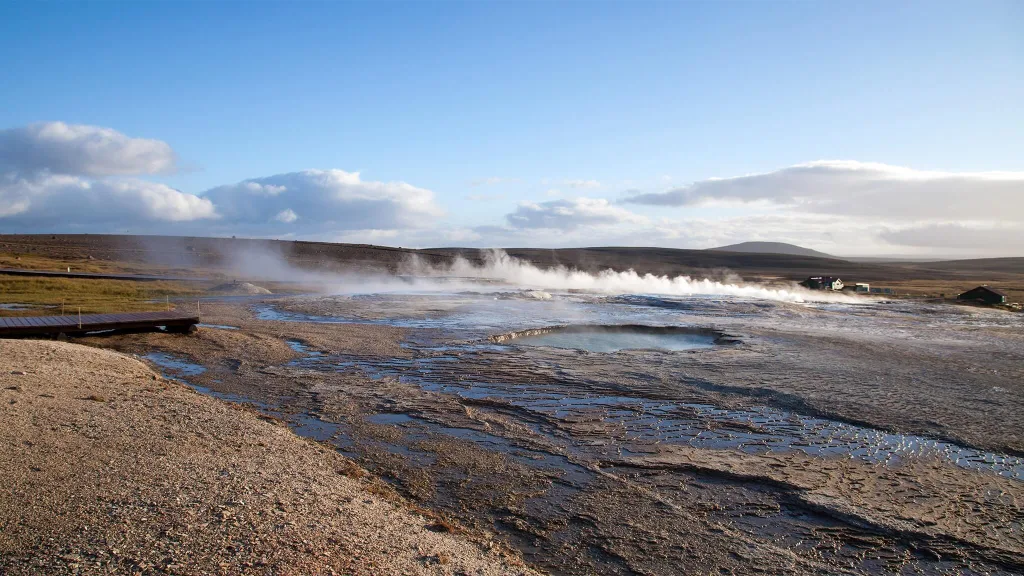
Posted by Igor in Guide, Highlands, 35 comments
Westman Islands – Full Guide + Top Things to Do [our experience]

Westman Islands – Full Guide + Top Things to Do [our experience]

We wrote this detailed guide to Westman islands, including top things to do in Westman islands, to help you with our practical, in-depth experience, unlike other often very shallow blogs out there. We include detailed info about what to see in Westman Islands, a ferry to Heimaey island, the need to have a car, the best hikes, our favorite spots, puffins and many more.

Map of Westman Islands

Below you may find the handy map of Heimaey, the biggest of all Westman islands. Heimaey map depicts all interesting spots on the Westman Islands and should help you orientate much better. Here is also the detailed map of Vestmannaeyjar town.

westmann islands map

Local map of the Westman islands (click to enlarge)

Westman Islands, or in Icelandic Vestmannaeyjar, is an amazingly picturesque group of islands very close to and well accessible from the touristy south coast of Iceland. Are Westman islands worth visiting? The answer depends, but most of the time it’s definitely yes.

What are the top places in the Westman islands? And how much time should you devote to a visit to Vestmannaeyjar? We answer all of these questions in our new guide to the Westman islands below. We also include a lot of our own experience with visiting the islands.

The main, the most diverse, and the most visited Westman island with all the infrastructure is called Heimaey. In the entire text below, we will be referring to Heimaey only, if not stated otherwise.

Vestmannaeyjar heimaey town

Vestmannaeyjar Heimaey town

How to get to Westman islands?

First and foremost, the only way to get to Westman islands is by ferry, a private boat, or by plane. Undoubtedly the most comfortable and also the most widely used option is by taking a ferry. Alternatively, you may book a boat tour to or around Westman islands, see below. There’s also a small airport for small airplanes, though this option is usually not used much, because it’s definitely the most expensive one and also not that flexible.

A detailed guide on How to choose the best Car for Iceland.

Westman Islands Ferry

The most used, most flexible, most affordable, and in our opinion also the best option to visit Westman islands is by taking a ferry. You can check all the current information about the ferry on the official Icelandic website of the Westman islands ferry company called Herjólfur.

Vestmannaeyjar ferry

Ferry heading from Landeyjahöfn to Vestmannaeyjar

Westman Islands ferry schedule

In summer AND when the weather is fine, the ferry departs from the closest possible harbor, the harbor in Landeyjahöfn. How long is the ferry? The sailing time is about 40 minutes and in summer there are 7 different time slots available each day. In case the weather is NOT favorable, the ferry has to take the longer route and it departs from Þorlákshöfn instead and just twice a day. The journey from Þorlákshöfn to the Westman islands takes about 3 hours and can be very bumpy.

Landeyjahöfn ferry schedule:

  • Departures from Landeyjahöfn daily at 8:15, 10:45, 13:15, 15:45, 18:15, 20:45 and 23:15
  • Departures from Vestmannaeyjar daily at 7:00, 9:30, 12:00, 14:30, 17:00, 19:30 and 22:00

Þorlákshöfn ferry schedule:

  • Departures from Þorlákshöfn at 10:45 and 20:45
  • Departures from Vestmannaeyjar at 7:00 and 17:00
westman islands ferry

Westman islands ferry. Source: https://herjolfur.is/

How to book a ferry to the Westman islands?

Book only and only via the official Icelandic ferry company called Herjólfur. Although this name is not very user-friendly, this is the ONLY OFFICIAL ferry website! All the other websites (for example www.visitwestmanislands.com) are just re-sellers or other tour operators. This means they will take a commission to book on Herjólfur on your behalf. We always book directly with Herjólfur, because booking with someone else is an unnecessary complication.

To book a ferry, simply visit www.herjolfur.is and make a booking for the desired time. There’s a full refund policy up to 24 hours before the departure for all payments made by a debit/credit card. You’re gonna pay 500ISK (about 4 USD) for each change/cancellation. If your sail is canceled, you will be offered an alternative time. If there’s a chance a ferry may be full, you will be put on a waiting list – see below.

ferry to westman islands

Ferry to Westman islands, passenger deck

How far in advance should you buy a ferry ticket to the Westman islands?

To have a 100% certainty to get a spot (especially if you take your car), of course, you need to book in advance. Is there a chance you will get a spot even if you don’t book in advance? Yes, most of the time you can get the spot, even in summer. What we’ve done and what we also suggest is booking a few days in advance. This way you can book only on a day with nice weather and you have a high chance to get the spot as well.

The alternative with even bigger certainty, just a little bit more work, is booking further in advance and then rescheduling a few days before your trip. Yes, it will cost you a few dollars but it will leave you full peace of mind.

The ferry is usually fully booked on Icelandic summer holidays and also during summer festivities and festivals. Check those carefully, because if you plan to visit Westman islands on these dates, you really need to book very far in advance (months). You can find the list of all events happening on the Westman Islands here.

Moreover, if you are visiting without a car, the chances for a free slot are very high most of the time. Because there are naturally much more spots available for pedestrians compared to cars.

heimaey harbor Vestmannaeyjar

Heimaey harbor, Vestmannaeyjar

We wanted to visit Westman islands with our car in July, i.e. in full season, but only on a nice day (see weather section below). In Facebook groups, everybody was scaring people out that they should book the ferry months in advance. We didn’t follow this advice. Instead, I checked every day the availability on www.herjolfur.is for our planned days of visit and what I observed was that the availability was always there even for all the time slots. Hence, I booked the ferry just 3 days in advance, to be sure about the nice weather.

I recommend you the same strategy as we conducted above. Just beware of the Icelandic holidays and festivals. And, secondly, I don’t recommend booking totally last minute (like on the same day). This is a bit too late in my opinion.

We actually even had a pretty good “last minute” booking and rescheduling experience with the ferry. We booked a ferry from Landeyjahöfn for 20th July for 2 people and also for 1 normal car for 8:30 in the morning and back from Westman islands at 22:00. Finally, we finished our day quite soon, around 16:00, so we decided to try our luck and catch a ferry back at 17:00. I asked at the ticket office at 16:30 and they told me that they need to first put us on the waiting list to see whether there’s any spot left. The ferry had first boarded everyone else and in the end, they shouted our names to indicate there was still some space. This way we got back 5 hours earlier, even at the last minute without re-booking in advance.

elephant rock westman islands

The famous Elephant rock on the western coast of Vestmannaeyjar

How often does the ferry to Westman Islands get Canceled?

Cancellations happen only when the weather or seas are too harsh to sail. This almost never happens in summer, i.e. between June and September. From October until May cancellations happen from time to time, usually during weather alerts, i.e. on average around twice a month.

The ferry is only very rarely canceled completely, instead, it sails from the bigger harbor called Þorlákshöfn instead. The sail in this case, however, takes a very long time, usually around 3 hours. It Is also often pretty unpleasant due to huge waves. If the ferry gets canceled last minute, you will be always offered an alternative time slot, just bear in mind your trip schedule will change in this case. But hey, that’s Iceland, get used to it!

best hikes heimaey westman islands

Eldfell volcano hike is one of the easiest and most beautiful ones

How much time do you need on the Westman Islands?

You can easily see the best spots of the Westman Islands in 1 day. The main Heimaey island is pretty small and if you have a car, 1 day is more than enough to explore it. If you enjoy traveling slowly, you can go for 2 days, but not more.

So how should you decide? We managed to see everything we wanted in under 7 hours, including the two most beautiful hikes of the Westman islands. We had a car, which helped a lot with cutting down the transportation times. To sum up – for us – 1 day was more than enough. If you have nice weather. And if you have a car.

Tips on the most beautiful places in Icelandic Highlands.

If you really want to take it slowly and/or you simply have to arrive late, and/or the weather is not that nice, in that case, I recommend you go for 2 days, but not more. Heimaey is not that big and, unless you just want to sit and chill, you will not have much to do there after some time.

heimaklettur hike westman islands

Heimaklettur hike is our favorite hike of the Westman islands

Do you need a car on the Westman islands?

You don’t need a car, but we recommend you bring one. A car will make your visit to the Westman islands much more comfortable and flexible. Why? Well, yes, everything is within “walking distance” on Westman islands. BUT. This walking distance sometimes means walking 40-60 minutes just on an ordinary road for cars. And that’s not very pleasant. We’ve actually met several walking-only visitors who tried to hitchhike with us, unfortunately, our car was totally packed up with stuff.

Not to mention if the weather worsens. Trust me, you don’t want to stay outside in bad weather on the Westman islands 😉 That being said, if you have a lot of time and you really need to save money, then yes, you can definitely visit Westman islands also without a car. However, if you are either short on time or if you prefer more comfort, I totally recommend rather bringing a car, the cost of doing so is not that horrible.

westman islands western coast puffins

The western coast of Heimaey, popular puffin watching area

Can you walk around Vestmannaeyjar?

Yes, everything on the main Heimaey island is within a walking distance. Just bear in mind weather may often be uncomfortable for walking. Secondly, if you plan to see puffins in the southern part of the island, the walk there from the harbor is a pretty long one and takes around 40-60 minutes. Thirdly, there are no pedestrian roads, so you will need to walk on normal roads for cars.

When to visit Westman islands

Long story short, in good weather 🙂 I know this is easier to be said than done, but it is especially true for Vestmannaeyjar. In our opinion visiting the islands in foggy weather is simply not worth it. Westman islands are all about amazingly beautiful views and you will get none of these in a fog or mist. The same applies to heavy rain or heavy wind.

heimaklettur hiking trail westman islands

Sun shining in July during the Heimaklettur hike

Westman islands are sometimes called the windiest place in Europe. For some reason. Weather can get pretty ugly here from time to time, especially the wind. That being said, do what you can to try and pick a nice day for a visit – we wrote a guide on that. Now, what is a nice day? Well, ideally no heavy rain, no heavy wind, and no fog. Light rain is OK, the medium wind is OK, and a light fog is OK.

Westman islands in Summer

Logically, summer is the most popular time to visit Vestmannaeyjar. Seas are calm, the weather is at its best and naturally also the number of visitors skyrockets. We carefully waited for a day with blue skies in July to visit Westman islands and we didn’t regret it, not even for a second. Crowds were bearable and nice weather was more than just worth waiting for it.

Judge yourself from our pictures taken just by our phones. To conclude – we totally recommend a visit in summer, i.e. from June to September. An alternative to visiting islands in the main season is a near-summer shoulder season when the old snow has already melted and the new one hasn’t arrived yet. This period usually lasts during a warm April or May, and October.

eldfell volcano hiking trail

Eldfell hiking trail is best enjoyed in summer

When visiting Heimaey, definitely consider also a puffin-watching season! Puffins typically arrive at Westman islands in late April, or in May and leave in the second half of August, when they begin to migrate south for the winter.

Westman islands in Winter

It’s definitely possible to visit Westman islands also in winter. The ferry runs all year long. One of the things you will be rewarded with in winter is you will probably be there alone with locals only. Very few visitors come to Vestmannaeyjar in winter. Why? It’s much harder to catch a day with nice weather, plus islands may be covered with snow. And Westman islands are at their most beautiful in lush green colors.

westman islands in winter

Westman islands in winter

Moreover, you will often need to take a much longer ferry ride from Þorlákshöfn, due to harsh weather or rough seas, which may cost you not only time but probably also several unpleasant moments of sea sickness. Is it then worth it to visit Westman islands in winter? We recommend a winter visit only if you have a lot of time and if you can be flexible and reschedule your trip based on nice weather. We think Vestmannaeyjar is much nicer in summer, with melted snow.

Should I visit Westman islands if …?

I have 7 days to do the ring road

Personally, I would visit Westman islands only if I had enough time for a time-flexible, stress-free visit in nice weather. 7 days for the ring road doesn’t sound like enough time at all. Therefore, the answer is no, I would not visit Vestmannaeyjar in this case.

I have 14 days in Iceland

Well in this case it depends on what your priorities are. Is it a ring road at a relaxed pace? Do you want to do a lot of highlands? All of these are definitely manageable also along a visit to Westman islands, but you need to set your priorities. If you are able to wait for nice weather to visit the islands and this will not ruin your plan, then definitely go for Westman islands.

heimaklettur peak

Chilling at the peak of Heimaklettur on a beautiful July day

I stay just 4 days in Reykjavik

If you stay in Reykjavik only, this probably means you will be taking some day trips only and probably by tour companies only. So, a better question would be – should I book a day tour to Westman islands (10% discount code: EPICICELAND24)? My answer would be – on a nice day, why not? It would be an amazingly beautiful, but long day.

I will be in Iceland for a month

Totally go also for the Westman islands. Totally worth it. And wait for nice weather, please 🙂

Many useful discounts on Icelandic car rentals and Guided tours.

Parking, Accommodation, and Food

All of the above, parking, food, and accommodation are easy to get on Heimaey. Just with accommodation be sure to book enough in advance.

Where to park on Westman islands?

Parking is free at Westman islands and there are enough car parks. Just adhere to basic parking rules. For example, don’t block the roads, someone’s private property, or anything similar. You can park for free also at Landeyjahöfn harbor when waiting for a ferry and also at Heimaey island harbor.

westman islands eldfell volcano hike

Views from Eldfell volcano, the most popular Westmann islands hike

Where to stay?

There are several cozy accommodation options. We recommend you take a look yourself and pick the one you like.

Should you book accommodation on Westman islands in advance? Totally. With lodgings, we recommend booking them several months in advance, when coming in summer. Hotels and guesthouses (excluding dorm rooms) tend to get fully booked. Dorm rooms are usually available even last minute.

Where to eat?

There are several restaurants, don’t worry, you will definitely find something which suits your taste buds. Just look at Google Maps. We dined at a gas station, which is the cheapest option. Food definitely isn’t our priority when coming to Iceland 🙂

How to see puffins on the Westman Islands

Heimaey is home to the largest puffin colony in the world, with over a million puffins nesting on the island each year. That’s why many visitors come to the Westman islands specifically to see the puffins. Your chances of seeing puffins at Vestmannaeyjar from May until August along the southwestern coast will be pretty high.

Vestmannaeyjar puffins

Vestmannaeyjar puffins, Stórhöfði puffin lookout

To see the puffins, you can also take a boat tour from the town of Vestmannaeyjar on Heimaey. These tours depart from the harbor and take you to several locations around the islands where you can observe the puffins in their natural habitat nesting and hunting near the cliffs.

Are Westman islands the best place in Iceland to see puffins?

There are many great spots to observe puffins in Iceland. Vestmannaeyjar is just one of many. Other popular puffin-watching spots include Dyrhólaey in the south, Borgarfjörður eystri in the east, Grimsey island in the north, Látrabjarg cliffs in Westfjords or Lóndrangar cliffs on Snæfellsnes. Westman islands are not superior to any of these spots, so just pick the place which suits you.

Where to see puffins on the Westman Islands?

The puffins can be observed at several locations on the island, including Stórhöfði, a rocky headland on the southern coast of Heimaey, or the entire western coast all the way up to the famous Elephant rock in the northwest.

The best spot to see puffins on Vestmannaeyjar is in our opinion the puffin lookout located right before the final ascent to Stórhöfði. The easiest way to get to the puffin lookout at Stórhöfði is by car or by minibus tour.

Stórhöfði puffin lookout Vestmannaeyjar

Stórhöfði puffin lookout

When to see puffins on the Westman Islands?

The highest chances of observing puffins are from the second half of May until the end of July. Puffins typically come back to the Westman islands in late April, or in early May and leave in the second half of August, when they begin to migrate south for the winter.

Is there any specific time of the day when puffins are the most active? Puffins are most active early in the morning and late in the evening, as they spend much of the day out at sea feeding. Late afternoons are also favorable because the puffins are more likely to return to their nests or leave to go to sea. That being said, there are almost always some puffins during the main season, throughout the day. The specific time of the day is just about their quantity and their specific behavior rather than seeing them at all.

How to see the best of the Westman Islands in 1 day – our itinerary

  • Arrive by a morning ferry from Landeyjahöfn at 8:55 or 11:20
  • Take a car to have maximum flexibility
  • Hike the Eldfell volcano from the western car park
  • Go see puffins at the Stórhöfði lookout
  • Visit Elephant rock via the golf course
  • Hike the steep Heimaklettur hill
  • Pay a short visit to the Urðaviti Lighthouse
  • Bonus places: Herjólfsdalur hike, Beluga whale sanctuary, Eldheimar museum, Vikin black beach, Guided boat tours
  • Take a ferry back to Landeyjahöfn in the evening

Are Westman islands worth it for a day?

Westman islands are definitely worth a 1-day visit. In fact, 1 day is more than enough to see the best of Vestmannaeyjar, when the weather is favorable. Heimaey island is pretty small and with the help of a car, you can easily see everything in one day. We don’t recommend a visit in bad weather, including huge fog, strong rain, or very strong winds. In that case, either reschedule your trip or book for more days to wait for a clear day.

heimaklettur hike steep trailhead

Heimaklettur hike steep trailhead (click to enlarge)

Top things to do on the Westman islands – our experience

We wanted to visit Westman islands sometime between 19th and 23rd July, waiting for nice weather. We had accommodation within a 2-hour drive from Landeyjahöfn. I finally made a booking for a ferry 3 days in advance and booked for 2 people plus a car. Roundtrip at 8:15 from Landeyjahöfn and back at 22:00. This should have been more than enough and it actually even was. We returned earlier, already seeing everything we wanted (including the 2 most beautiful hikes) in roughly 7 hours, at a relatively quick pace.

What are the best hikes on the Westman islands?

There are basically only 4 main hikes which you may all easily complete even in one day. Our favorite hikes were an easy hike to the Eldfell volcano and a technically difficult hike to Heimaklettur with amazingly beautiful views over the islands.

heimaklettur views westman islands

Views from the Heimaklettur hike on the Westman islands

The number one activity we more than just recommend in Westman islands is hiking. There are several amazingly beautiful hikes, each one a bit different and you should totally do at least two of them. These hikes were an absolute highlight of our trip to Vestmannaeyjar. Here is the list of all Westman islands’ hiking trails.

Hike to Heimaklettur

If I had to pick one most amazing and beautiful place on Westman islands, it would be Heimaklettur. The hike to Heimaklettur starts as a bit scary ascent with ladders, ropes, and chains, but soon turns into one of the most beautiful views I’ve ever seen. If you are fit enough and have nice weather, then go and hike Heimaklettur in the Westman islands!

heimaklettur hiking trail

Heimaklettur hiking trail map (click to enlarge)

We started our hike with a very steep ascent, which soon leads into two series of steep ladders and follows by ropes and chains to help you climb off the ladders. This part is definitely not for anyone afraid of heights and/or someone not physically fit and/or not to be done in stronger rain or wind. Otherwise, this hike was a truly unforgettable adventure. We brought our hiking poles with us but then regretted it because they only slowed us down when climbing all these ladders.

After finishing the steepest section, the part with the ladders, chains, and ropes ends and the trail continues as a typical Icelandic hiking trail of medium difficulty. After a few tens of minutes of ascending the marked trail leading via grass fields, you will soon reach one of the most spectacular views Westman islands have to offer. It took us less than 1 hour of quick hiking to reach the top.

heimaklettur ropes chains ladders

Heimaklettur hiking trail – ropes, chains and ladders

From the top of Heimaklettur, you will be rewarded with the best views of Westman islands available out there. The views stretch to all sides and you really do feel like a master of the universe when standing here and admiring the surroundings. It’s an amazing place for a picnic as well.

heimaklettur hiking trail Vestmannaeyjar

Heimaklettur hiking trail

Hike to Eldfell volcano

A hike to Eldfell is the easiest and most touristy hike on the Westman islands. Eldfell volcano also offers the best “price-to-value” views, because it only takes a few minutes to reach the top and the views are spectacular on a nice day. There are a few small car parks next to Eldfell – several in the northern direction and one main car park in the west. The main western car park is located next to the shortest hiking trail. The northern car parks are located a bit farther, but it’s probably only some 10 additional minutes of hiking.

westmann islands top things to do

Eldfell volcano hiking trail

Hiking Eldfell is a must if you are visiting Vestmannaeyjar. The view from the summit of the volcano is the most famous and photographed view of the Westman islands. And you’ll quickly understand why, once you get there. It’s totally worth seeing it, even though you most probably won’t be alone there. We took a western trail to Eldfell from the western car park and it took us around 10 to 15 minutes to get to the top. A very easy walk for virtually anyone. We met several guys with either jeans or shorts or sandals along the way.

eldfell hike map

Eldfell volcano hiking map (click to enlarge)

The peak of Eldfell offers magnificent photo opportunities in all directions. Even if you share this hike with other tourists, you are almost guaranteed to take a picture without them, there are more than enough spots for that. Once again – judge for yourself from some of our pictures taken by our phones.

Hike to Herjólfsdalur

Right next to the popular Elephant rock there lies a hidden and not much-known hike called Herjólfsdalur. It starts from the side of the golf course and leads steeply up the nearby hills. We haven’t done the hike to Herjólfsdalur ourselves, because we rather opted for hiking the nearby Heimaklettur. However, given the altitude of Herjólfsdalur hills, great views will be guaranteed once you get to the top on a nice day. See also the map of a hike to Herjólfsdalur below:

herjolfsdalur hiking trail

Herjolfsdalur hiking trail, sometimes called also Dalfjall hike (click to enlarge)

Hike to Stórhöfði

storhofdi hiking trail westman islands

Stórhöfði hiking trail

Stórhöfði is the southernmost area of Westman islands, visited primarily due to the presence of puffins. Except for puffins, there are also easy hiking trails at Stórhöfði offering sea views and views of the neighboring smaller islands with cute and lonely houses. Stórhöfði hikes lead via grass fields and are fairly easy. Views are less spectacular compared to Eldfell or Heimaklettur, though, simply because there’s no ascent anywhere.

Stórhöfði hiking trail

Stórhöfði hiking trails map (click to enlarge)

Puffins of Westman islands

Many visitors come to Westman islands because there’s one of the largest puffin colonies in Europe residing in Westman islands. Puffins are present in Westman islands usually from May until August/September.

There are two main puffin lookouts in Vestmannaeyjar. The first one is located in Stórhöfði. There’s a little car park right in front of it and the wooden shelter has been built there as an observatory. The second series of viewpoints is along the western coast of Heimaey all the way from Stórhöfði to Elephant rock, on the coast.

westman islands puffins storhofdi

Westman islands puffins at Stórhöfði

Elephant rock

Halldórsskora in Icelandic, or Elephant rock in English, is a popular photo spot on the westernmost part of Westman islands. As the name suggests, Elephant rock is an interestingly shaped rock in a way that resembles a head of an elephant. You can observe elephant rock either from the west coast or arrive close to it by a walking path leading via a golf course. Please take care and don’t get hit by a golf ball. This is surprisingly a pretty popular golf course.

elephant rock Vestmannaeyjar

Elephant rock as seen from the car

Black beach Vikin

Only a few hundred meters north of Stórhöfði, there’s a cute little black sand beach. There’s also a picnic table and Vikin black beach makes it a nice little spot for a short pause. Not overwhelming, though.

black sand beach vikin westman islands

Black sand beach Vikin

Urðaviti Lighthouse

Another place worth visiting for someone who would like to tick off visiting all the sightseeing spots in Westman islands. We didn’t spend much time visiting Urðaviti lighthouse, though. I think there are many more interesting lighthouses all over Iceland.

Eldheimar museum

For those interested in museums or simply if the weather worsens, there’s a most popular museum of Westman islands called Eldheimar. Not our cup of tea, though. Here is the website of the museum.

Beluga whale sanctuary

The Sea Life Trust Beluga Whale Sanctuary is a famous aquarium located on Vestmannaeyjar. Once again, it makes for a nice stop during bad weather, when visiting for more days, or with children. We wouldn’t come here specifically to see the aquarium, though. There are more interesting aquariums around the world than the Beluga whale sanctuary. Here is the website of the Beluga whale sanctuary.

sudurey island westman islands

Suðurey island, one of the small Westman islands

Smaller islands of Vestmannaeyjar

Heimaey is not the only island of Westman, despite being the biggest and the most versatile. There are several smaller islands nearby and many of them are actually settled! You will generally find just one lonely house located in the flattest area of these islands. And yes, it’s possible to get to these houses! But only by boat (or helicopter). One of these tiny Westman islands actually even offers accommodation, with somewhat scary reviews. If you wonder how people get up to these houses when getting off their boat, the answer is there are usually either some hidden stairs or a path leading to these houses.

Westman islands summer festival

There’s a huge festival taking place every summer on the Westman islands. It’s called Þjóðhátíð and of course, you can visit it too. You can find all the necessary info about the festival here.

Just bear in mind, cars are banned from the festival. Secondly, we highly recommend not coming for hiking or any peaceful sightseeing during the festival. Heimaey is just totally full at that time. This is one of the biggest Icelandic festivals, often with tens of thousands of visitors.

westman islands summer festival

Westman islands summer festival, source: https://www.dalurinn.is/en

Guided tours to Westman islands

There are several guided group tours that will take you to Westman islands from Reykjavik, operated by several tour providers. And then, we can take you on our Epic Private Tour of the Westman Islands! Fully tailored to you, no other tourists and any departure point!

There are two main advantages of taking a guided tour to Westman islands. Firstly, as with any other tour, you simply don’t have to take care of anything. The guide will take care of it. Secondly, you don’t have to rent a car, the guide will pick you up from your hotel in Reykjavik.

Best guided tours on Westman islands

So, you’re already on Heimaey and you don’t only want to explore the island on your own? Well, there are plenty of great tour choices. We picked a few of our favorites below.

puffin boat tour westman islands

Combo hiking + puffin watching boat tour

Seeing islands from the boat is definitely an adventure. A Westman islands boat tour will also give you an entirely different perspective of the islands. Some spots are definitely nicer for a photo shoot from the perspective of a boat. Some are even accessible exclusively by boat. These are the three boat tours we think are the best:

Coming without a car and want to see most of Heimaey in 1 day? Our ultimately favorite tour for those without a car on Westman islands is a 2-hour bus tour of the main Heimaey island.

What about an ATV volcano tour on the Westman islands? Our favorite is this Vestmannaeyjar ATV tour.

Don’t have enough time for a guided tour? No worries, in our opinion, you will not miss out much by not taking a boat tour. Instead, when going on your own, you will gain a lot of flexibility and you may have all the places for yourself, not sharing them with your tour group. But that’s just us, someone else may prefer the comfort of a tour.

YOU MAY ALSO LIKE:

epic iceland facebook group ask questions or get inspired in our community
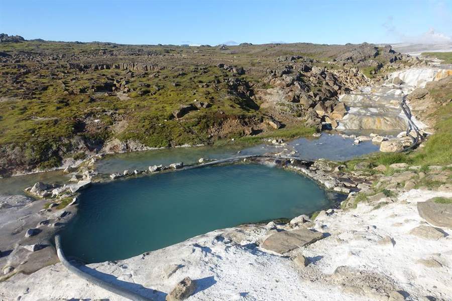
Posted by Igor in Guide, Our Journey, 3 comments
List of all Hot Springs

List of all Hot Springs

Enjoy our unique and detailed list of all Icelandic hot springs! Currently 59 hotpots. If you think some info should be updated, feel free to contact us! Also, please, if you know of any hot springs not listed here, let us know and we will give you all the credit for that one! 🙂

We’ve spent months exploring all the different hot springs in Iceland and have visited almost all of them. Some of them are right next to the ring road, while some are almost impossible to find. Please remember, these are all very delicate and sensitive areas where you should never leave any trace or litter!

Looking for more amazing hidden spots? Check out our Map of 2000+ Best Places in Iceland.

Below we list all the wild hot springs, man-made hot springs, hot pools, and mountain hot tubes. We only list all the hot springs you are allowed to bathe in unless otherwise stated. We exclude hot caves like Stóragjá because it’s forbidden to bathe there. We also exclude classical public pools. The borderline is sometimes pretty thin in Iceland, so it’s impossible to create a perfect classification 🙂 Below is our map of hot pots in Iceland:

Map of all hot springs in Iceland


All the GPS points on this map are under strict copyright and are being tracked for an illegal use. You can’t copy any content without our consent.

Yes, there is Laugafell, there is Laugarfell, and there is also Laugavallalaug! All of these are different hotpots at different locations, each one differently amazing! And that is not all. There are actually two different hot springs with the same name – Krosslaug, located completely elsewhere! And then that’s also Krosnesslaug to make it easier to remember. That being said, hopefully, this list will help you to find your favorite one.

Askja hot spring

swimming in askja crater

Me swimming in 25°C sulphuric water of Víti crater in Askja

Askja definitely isn’t a typical hot spring. It’s a big warm crater lake. It’s often known as Askja caldera. The road leading to Askja is long and challenging but really worth it. We wrote an entire guide about how to visit Askja.

Askja hot spring type

Askja warm lake is a completely natural and wild crater where warm sulfur water created this unique “blue hot spring lake”. There are no changing rooms at all, you are in central highlands here. Bathing is free of charge and requires a hike down the crater, which can be challenging. Water is not especially hot, actually much colder compared to typical hot springs, but still warm, with around 28°C / 82°F.

How to get to Askja hot spring

We wrote a detailed guide on getting to Askja. Roads to Askja are open only during full summer (July and August) and require at least a medium-sized 4wd car. The bigger, the better. “Can we do it in a Suzuki Jimny?”, yes you can try and you may succeed, but you may also not. Jimny is considered to be a small-sized SUV, which, when driven in the right way and in good weather may be enough. It may also not be enough if the opposite is the case.

In short, You can either come from the north via F88 or from the east by F905. You will then connect to F910 and lastly to F894. After parking your car, you will still have to hike/walk for another 30 minutes one way. If you don’t feel like driving to Askja, you can take an epic Askja tour (10% discount code: EPICICELAND)!

Not sure what type of car to choose? Feel free to read how to choose a proper car or how to pick the best Icelandic car rental insurance. We also collaborate with Icelandic car rental companies to give you a discount and us a small commission at no extra cost to you.

Video of Askja hot spring

Tips about Askja hot spring

Pick a day with good weather, or take a guided tour (10% discount code: EPICICELAND). A drive in rain and fog will usually bring you no joy and no views just stress. If you decide to drive to Askja, read carefully both our Askja guide and Askja F-roads descriptions. Last but not least, please choose a proper car, so that you don’t have to call 112 for rescue.

Once you reach Askja, to get down to the warm lake, you need to take a short but steep descent. In bad weather, this may get dangerous. We recommend taking the descent to Askja only in good weather. Better also use hiking poles for stability. Moreover, it’s not allowed to bathe in all parts of the lake. There are signs that you cannot cross, please watch out for them or you may get yourself injured!

To sum up, bathing in Askja is more challenging and more adventurous compared to most of the other hot springs out there. Adjust your expectations and prepare accordingly 🙂

Biskupslaug – Reykir

Blue Lagoon

blue lagoon iceland

The famous Blue lagoon by Epic Iceland archives

Brúarpotturinn

bruarpotturinn hot spring

Brúarpotturinn hot spring. Image courtesy to: www.icelandthebeautiful.com

Djúpavogskörin

Djúpavogskörin hot spring

Djúpavogskörin hot spring, Djúpivogur

Closed as at April 2023. Should be repaired and reopened in the following weeks/months.

Djúpavogskörin hot spring, is virtually a hot bathing tank. It’s located right on the ring road next to Djúpivogur, as the name suggests. Yet, Djúpavogskörin is still nicely hidden away from the main road and you have to keep searching for it for a few minutes.

Djúpavogskörin hot spring type

Djúpavogskörin hot spring is basically a man made stone block with a really hot water flowing into it. When we visited Djúpavogskörin in summer, we were unable to bathe there, because the water was simply too hot, definitely more than 43°C (109°F). In the winter, though, the temperature seemed to be considerably lower and just right for soaking up 🙂 Based on this finding, we better recommend a winter visit.

How to get to Djúpavogskörin

You don’t need any special car to get to Djúpavogskörin, any car can do that. The only tricky part is a bit cumbersome parking. The hot spring is located right next to the ring road, where cars drive around 90km/h, so you need to slow down, find the right detour and don’t block other cars. The car park is just a worn-out grass field that can easily get icy or muddy.

Not sure what type of car to choose? Feel free to read how to choose a proper car or how to pick the best Icelandic car rental insurance. We also collaborate with Icelandic car rental companies to give you a discount and us a small commission at no extra cost to you.

Once you leave your car at this unmaintained parking area, you need to walk for around 5 minutes via an unmarked path to find the Djúpavogskörin hot spring. There’s a little hill right next to the parking area and the hot spring is hidden right below this hill. The easiest way is to follow the prior footsteps of someone, but even without it, you should still be able to find the hot spring, because it’s really close by.

Video of Djúpavogskörin

Tips for Djúpavogskörin hot spring

Hot spring is free of charge, there was no donation box at the time of our last visit. There are also no changing rooms, but there’s a clothes-hanger. The short path leading to the actual hot spring can be really muddy when it’s wet, so get ready for that with your footwear.

Drangsnes hot pots

drangsnes hot pots iceland

Drangsnes hot pots. Image courtesy to: www.love-iceland.at

Forrest Lagoon

New luxurious lagoon already open.

forrest lagoon iceland

Forrest lagoon iceland. Image courtesy to: www.forestlagoon.is

Foss

foss hot spring waterfall akureyri

The Foss. Hot spring waterfall next to Akureyri. Image courtesy to Instagram @libertadoo

Fosslaug

fosslaug hot spring iceland

Fosslaug hot spring

Fosslaug hot spring is a beautiful stop when driving near Varmahlíð, definitely worth a little detour. There’s also a waterfall – Reykjafoss – and the whole place is magical especially during the sunset.

Fosslaug hot spring type

Bathing in Fosslaug is free of charge. We couldn’t find any money box, as is the case with many other Icelandic hot pots. There are no changing rooms, so just don’t be shy 🙂 Hot spring can accommodate up to 10 visitors, however comfortably maybe only up to 5. Fosslaug is a natural hot spring (man maintained) so naturally, the water isn’t entirely clear, but we think it belongs to the better ones when compared to other Icelandic hot springs. Water in Fosslaug is pleasantly hot with a temperature of around 38°C / 100°F.

How to get to Fosslaug

In summer, you can reach Fosslaug with any 2wd car. In winter a 4wd car would be better. Finding Fosslaug is part of the adventure. Although Google maps do show its location, it’s not that straightforward to find it anyway. We firstly turned right a few tens of meters earlier and ended up parking our car at the wrong spot, which we however didn’t realize at that time. After a few minutes of walking around, we eventually reached a dead-end and came back to our car.

Read about how we chose our car. Or just get free discounts for your Icelandic car rental.We realized we should have taken the next turn right. This turn will take you to the small, but pretty well visible car park. There you may leave your car (probably along with several other visitors, because Fosslaug is pretty popular and easily accessible). After parking your car at Fosslaug car park, it takes about 10-15 minutes of walking through the easy trail to reach the actual hot spring. As far as I remember, there are 1 or 2 gates which you have to open and then also close after you pass.

Video of Fosslaug

Tips about Fosslaug

On your way to Fosslaug, you will also pass the beautiful Reykjafoss. One of the smaller Icelandic waterfalls, Reykjafoss, is especially picturesque during sunrise and sunset, which we were lucky enough to experience.

What we liked the most about Fosslaug is that it overlooks a river and if you are lucky, you may observe a beautiful sunset over the river! Despite not being remote and thus possibly a bit touristy, Fosslaug is definitely one of our favorite hot springs.

Galtahryggjarlaug

galtahryggjarlaug hot spring

Galtahryggjarlaug hot spring. Image courtesy to: www.icelandthebeautiful.com

Geosea geothermal sea baths

husavik geosea geothermal baths

Husavik Geosea geothermal baths

Geothermal Goldfish Pond

Gjörvidalslaug

May be open, may be locked. It’s recommended to ask locals for permission.

gjorvidalslaug hot spring

Gjörvidalslaug hot spring. Image courtesy to: Harpa Hreinsdóttir

Grafarlaug

grafarlaug hot spring

Grafarlaug hot spring. Image courtesy to: www.icelandthebeautiful.com

Grettirs pool – Grettislaug

grettislaug hot spring

Grettislaug hot spring. Image courtesy to: www.icelandthebeautiful.com

Guðlaug baths

gudlaug baths

Guðlaug Baths. Image courtesy to: www.facebook.com/Gudlaug.NaturalPool/

Guðrúnarlaug

gudrunarlaug hot spring shelter

Shelter for changing clothes and Gudrunarlaug hot spring

Guðrúnarlaug is one of the most picturesque hot springs in Iceland. It’s very well accessible.

Gudrunarlaug hot spring type

Guðrúnarlaug hot spring is man-made and man-maintained. It also has a cute little “cottage” changing room. Bathing was free of charge, we didn’t notice any donation box, but one may have been added in the meantime. The water was around 38°C / 100°F hot at the time of our visit, i.e. very pleasantly hot.

How to get to Gudrunarlaug

In summer, Guðrúnarlaug is easily accessible by any 2wd car. Read about how we chose our car. Or just get free discounts for your Icelandic car rental.

Video of Guðrúnarlaug

Tips about Guðrúnarlaug

Guðrúnarlaug is definitely a bit more touristy compared to, for example, Lýsuhólslaug. The reason for that is its proximity to ring road and to Westfjords, i.e., it’s quite easily accessible. The same is true when it comes to access to the actual hot tube – it’s a 2-minute walk from the car park, which sits right next to it. Google Maps are also quite precise about the location of Gudrunarlaug, so feel free to orientate according to them.
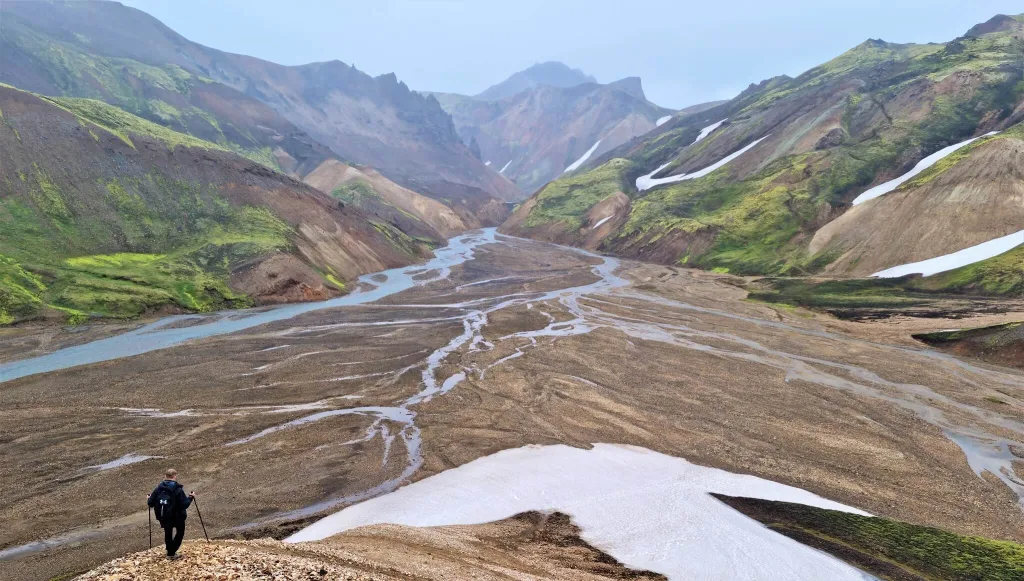
Guðrúnarlaug is located next to the small rural campsite (we didn’t see anyone camping at the time of our visit, during Covid-19 times) and something which looked like a school.

Gvendarlaug

gvendarlaug hot spring

Gvendarlaug hot spring. Image courtesy to: www.laugarholl.is

Hauganes hot pots

hauganes hot springs

Hauganes hot pots

What’s probably best about Hauganes hot springs is their location. They are situated just few meters from the actual fjord. This guarantees you an amazing view over the fjord while enjoying pleasantly hot water.

Hauganes hot spring type

Hauganes hot springs consist of 4 pools. The first pool (and the most legendary one) is shaped like a boat and definitely is pretty cool to bath in. In summer, the “boat-pool”, however, has the coldest water out of all pools (around 30°C), so it’s more a “warm spring” rather than “hot spring”. The other 3 pools (not that cool looking) have higher temperature though (35°C+). To us (and to our local Icelandic co-visitors) it seemed like the hottest pool was the rightmost one, that’s why we spent almost all our time there.
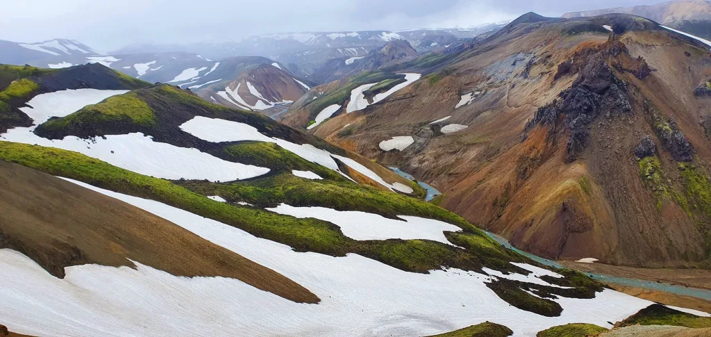
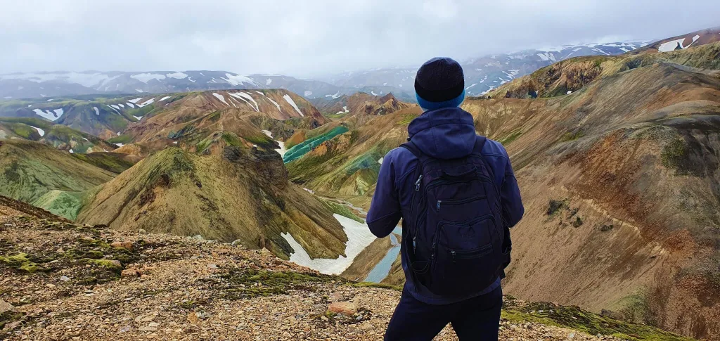
In winter, temperatures of the pools changed, however. The boat-shaped one felt just right with about 35°C, while the other two hot tubes were unbearably hot with more than 40°C.

There’s also a changing room, so you don’t have to do it outside in the cold as is the case with many wild hot springs. Price for Hauganes hot springs is 1000kr/person (ca. 7Eur/8USD). When the owner is present, you can pay it directly to him. If he’s not present, and you have cash, there’s a cash box right next to the pools. And thirdly, if you don’t have cash, you can pay by card at the nearby restaurant Baccalá.

How to get to Hauganes hot pots

Hauganes hot pot is easy to find (e.g. on Google maps, surprisingly in Hauganes). Hauganes hot springs are easily accessible by any 2wd car. Read about how we chose our car. Or just get free discounts for your Icelandic car rental.

Video of Hauganes hot pots

Tips for Hauganes hot pots

Hauganes hot springs are located just next to the little campsite, so there’s a high chance, you won’t be alone in here, given the hot pots are not that remote, nor hard to access. At the time of our visit, there were 2 groups of visitors, plus us and the place didn’t feel crowded at all. A capacity of one pool is around 8 people, therefore it’s not that easy for hot pools to become crowded. For those interested – you may even rotate between hot springs and sea, which lies right next to hot springs. Just don’t forget to shower yourself before each hot spring dive (the sea is dirty and salty).
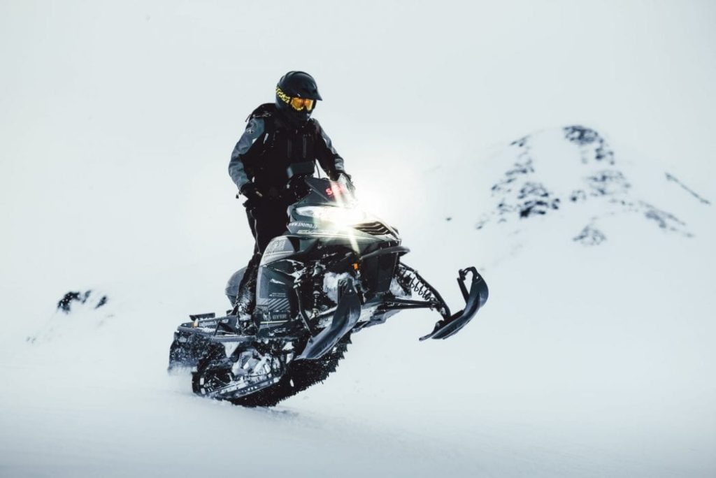
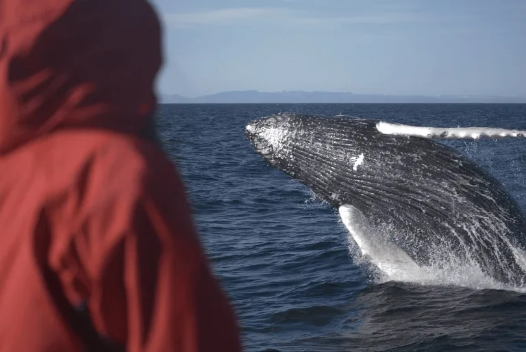
Hellulaug

hellulaug hot spring

Hellulaug hot spring

Hellulaug is a nice hot spring situated in one of the fjords in the southern part of Westfjords.

Hellulaug hot spring type

Hellulaug hot spring is a man-made and (not that much) man-maintained rocky hot spring. Hot spring is free to use, I don’t remember a donation box next to it, but there may have been one. There’s no shelter, nor changing room, you have to change your clothes either in a car or just next to the hot spring. The water is pleasantly hot, with some 37°C / 99°F.
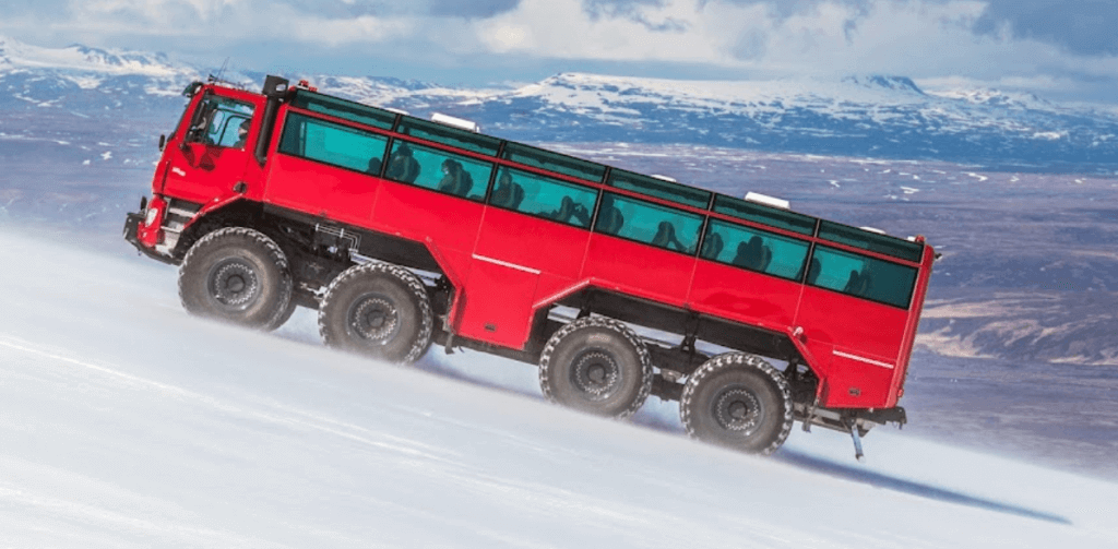
How to get to Hellulaug

In summer, Hellulaug is accessible by any 2wd car. Read about how we chose our car. Or just get free discounts for your Icelandic car rental.

The distance from the nearest car park to the hot spring is around 2 minutes of walking. You can get to Hellulaug from the main road 60. Just be sure to finally turn on Hellulaugavegur and end up here, because there’s one other (wrong) spot on Google maps. You will leave your car at a small, gravel parking lot. From there you have to descent about 2 minutes to reach the pool itself.

Video of Hellulaug

Tips about Hellulaug

Hellulaug is situated right in the heart of the fjord. If you are into “sauna style” bathing, you may even alternate between bathing in the hot spring and bathing in the ice-cold sea. Water in the hot spring is very pleasant though, having some 37°C (according to my professional, read as „guessed“, assessment).

If it rains, since there’s no shelter, some of your things will probably get wet, unless you cover them with something. We didn’t mind, though, because Hellulaug was probably the last stop of our trip.

Heydalur

heydalur hot spring

Heydalur hot spring. Image courtesy to: http://kitiniceland.blogspot.com/

Hjalteyri Hot Tub

Run by Strýtan dive centre, ask for permission / pay for access.

Hoffel hot tubes

hoffel hot pots

Hoffel hot tubes. Image courtesy to: www.icelandthebeautiful.com

Hörgshlíðarlaug

Horgshlidarlaug hot spring

Hörgshliðarlaug hot spring in the heart of fjord

Hörgshliðarlaug is a nice remote hot spring hidden in one of the fjords in the northern part of Westfjords. This is one of our favorite hot springs in Iceland.

Horgshlidarlaug hot spring type

Hörgshliðarlaug hot spring is a man-made and man-maintained seaweed hot spring. Hot spring is free to use, I don’t remember a donation box next to it, but there may have been one. There’s an old shelter next to the hot spring, which serves as a changing room. The water is pleasantly hot, with some 37°C / 99°F.

How to get to Horgshlidarlaug

In summer, Hörgshliðarlaug is accessible by any 2wd car. Read about how we chose our car. Or just get free discounts for your Icelandic car rental.

Not only tough to pronounce, but also tough to find, that’s Horgshlidarlaug. At the time of our visit, road 633 was closed, so we had to use the northern part of road 61 and make a detour south (left) right before crossing the Mjóifjörður fjord. The distance from the nearest car park (next to the road) to the hot spring is around 2 minutes of walking.

Video of Hörgshlíðarlaug

Tips about Hörgshlíðarlaug

Horgshlidarlaug is a dirty, old, full of seaweed hot spring with a true Icelandic atmosphere. It lies right in the heart of the fjord, so you will be able to watch the fjord while soaking in the hot pot. If you are lucky enough, there may even be seals around (we haven’t seen any though).

If you are into “sauna style” bathing, you may even alternate between bathing in the hot spring and bathing in the ice-cold sea. Water in the hot spring is very pleasant though, having some 37°C (according to my professional, read as „guessed“, assessment).

Hrunalaug

hruni hot spring

Tranquil scenery of Hruni hot spring

Hrunalaug is one of the most picturesque Icelandic hot springs. Although it’s nowadays already really touristy, it definitely belongs to the top Icelandic hot springs.

Hrunalaug hot spring type

Hrunalaug hot spring is man-made and man-maintained. There’s an authentic wooden shelter (similar to the one next to Guðrúnarlaug) serving as a changing room, right next to the pool. Hrunalaug hot spring has changed into a paid hot spring with opening hours as of 2024. The water was around 38°C / 100°F hot at the time of our visit, i.e. very pleasantly hot.

How to get to Hrunalaug

Hrunalaug (or Hruni) is easily accessible by any 2wd car. Read about how we chose our car. Or just get free discounts for your Icelandic car rental.

Use Google maps. They were quite precise about the location. There’s actually a car park near the hot spring. From the “car park” it’s about 3 minutes of walk. You shouldn’t get lost, as far as I can remember there’s even a sign pointing towards hot spring.

Video of Hrunalaug

Tips about Hrunalaug

There are actually several pools, some of them smaller, some of them bigger. All pools do contain heated water, but each one has a different temperature. The hottest one is also the smallest and is the one right next to the shelter. It’s ideal for 2 people, and if you are OK with some squeezing even for 4.

I can confidently nominate Hruni hot spring for winning the award of the most authentic Icelandic hot spring. It is, without doubt, one of the best hot springs we’ve ever been to. Thanks to many aspects. Firstly, it’s a place secluded from anything else with no buildings or roads around. Secondly, the landscape surrounding it is truly peaceful and picturesque. Thirdly, the hot pot itself looks like to be from some kind of fairy-tale. And, importantly, the water (in the main one) is pleasantly hot with some 38°C according to my professional (read amateur) assessment.

The main downside of Hrunalaug is that it’s getting really crowded. It’s easily accessible and beautiful at the same time. I recommend either coming here off-season or during some weird times (like really soon in the morning, or during the night). Also Hrunalaug now has opening hours and an entrance fee. More info on Hrunalaug entrances here.

Hvammsvík hot springs

hvammsvik hot springs iceland

Hvammsvík hot springs SPA. Image courtesy to: https://hvammsvik.com/

Hvammsvík hot spring type

Hvammsvík is a man-made and well maintained, unique hot spring located in the picturesque Hvalfjörður fjord. There are currently eight different pools with various temperatures. There’s also a restaurant and a brand new changing room.

Our readers can use a 5% discount code: EPICICELAND5 for Hvammsvík on Classic and Comfort tickets.

Hvammsvík has recently been gaining a lot of popularity, because it’s one of the most beautiful hot springs in Iceland that is still not crowded! It’s surrounded by ocean, mountains and black sand beaches that create a one-of-its-kind scene you’re just tempted to visit again and again.

How to get to Hvammsvík

It’s not a coincidence Hvammsvík is getting so popular. One of the main reasons is, it’s located just a 45-minute drive north of Reykjavik, making it a great day trip from Reykjavik.

The easiest way to reach Hvammsvík is to drive there. Another alternative is to take a day tour from Reykjavik (5% discount code: EPICICELAND), which includes the visit of Hvammsvík.

Tips about Hvammsvík hot spring

Did you know that water levels of some of the pools and their temperatures vary with tide? Well, they do! Hvammsvík lies right next to the Atlantic ocean, that’s why. This actually makes every visit to Hvamssvík unique!

The admission includes access to all hot springs, a steam room, beaches, a jump into the ocean (if you dare), as well as free use of their paddle boards.

Húsafell canyon baths

This is a paid hot spring on a private property. You have to buy the package to visit it.

Húsafell Canyon Baths

Húsafell Canyon Baths. Image courtesy to: www.husafell.com

Hveravellir hot spring

Hveravellir hot spring

The only Hveravellir hot spring for bathing. Image: courtesy of hiticeland.com

Hveravellir is a hot spring area in the middle of F35 road with one nice free hot spring available for bathing. We wrote a detailed guide on visiting Hveravellir hot springs.

Hveravellir hot spring type

Hveravellir hot spring is man-made and man-maintained. It has an uncovered exterior changing space. Bathing is free of charge, we didn’t notice any donation box, but one may have been added in the meantime. The water is pleasantly hot, with some 38°C / 100°F.

How to get to Hveravellir

You need a 4wd car to access the Hveravellir area. Road 35 leading there (former F35), a.k.a. Kjölur or Kjalvegur is open for tourists without super jeeps only from June to September.

In summer, the road F35 (Kjalvegur) is not hard to drive on, though. You may rent basically any 4wd car to drive it. Read about how we chose our car. Or just get free discounts for your Icelandic car rental.

Once you leave F35 towards Hveravellir, it’s just a short, easy drive and you will soon find a parking lot in front of a small restaurant. Almost next to the parking lot lies a nice, public, free hot spring. The distance from the nearest car park to the hot spring is around 5 minutes of walking.

Video of Hveravellir

Tips about Hveravellir

Since it is so close to the car park, there’s a high chance someone will be inside most of the time. Nevertheless, the hot spring is big enough and the water is pleasantly hot, with some 38°C (according to my professional assessment). On the other hand, the air temperature felt really cold, something like 7-8°C even in the middle of August. So again – be prepared for that – you are in the middle of Iceland, in highlands.

I guess my expectations for Hveravellir were too big (read further to find out why). When planning our trip, I had read that there are “several hot springs in the Hveravellir area”. Moreover, seeing pictures like this had instantly made me a Hveravellir enthusiast. Well, the reality was a bit different. We were hiking for 1 hour around the entire area, but we haven’t found any hot springs, other than the main one near the parking lot.

We finally also asked the local at the restaurant who just confirmed our realization by saying: “you can bath only in this hot spring, next to the car park. There may be also some other hot springs further away, but you shouldn’t bathe there”.

Kerlingarfjöll hot spring

kerlingarfjöll hot spring iceland

Bathing alone at Kerlingarfjöll hot spring

There’s only one hot spring in Kerlingarfjoll available for bathing. And it is well hidden from the mainstream trails of the Hveradalir geothermal area!

The entire scenery around the hot spring looks entirely like from another planet. This is one of our favorite hot springs in Iceland.

Kerlingarfjöll hot spring type

The Kerlingarfjoll hot spring is a man-maintained but originally wild hot spring. It has man-made walls and a wooden platform for changing clothes and entering the pool.

There are actually two pools next to each other, one warmer and the other less warm.

How to get to Kerlingarfjöll hot spring

Hike to Kerlingarfjoll hot spring is easy and totally worth the experience. Just be sure to bring a towel and clothes to change, because the hike can easily take you 1.5 hours as a round-trip.

The hike starts only and only at the Highland Base (former Kerlingarfjoll Mountain resort). There’s no other trail. And it’s actually not trivial to find the beginning of the trail. There were no signs at the time of our visit, so we asked the visitors coming from the opposite direction, who pointed us toward the trail.

After about 10 minutes of walking from and through Kerlingarfjoll mountain resorts, we’ve finally reached a little crossroad with a signpost pointing to a trail to the Kerlingarfjoll hot spring. The sign says it’s just 1km to the hot spring, but that’s not true. It’s actually double that – 2km. It’s not long, but it’s also not a 5-minute walk in slippers 😉

Tips for Kerlingarfjöll hot spring

When we first visited Kerlingarfjoll, and the place was called “Kerlingarfjoll hot spring area” or “Hveradalir hot spring area”, we had thought there will be many hot springs to bathe in. We were wrong. Yes, there are many hot springs, but you can’t bathe in any of them! Except one. The vast majority of these hot springs are “just” bubbling mud holes that are either too small, or too hot (or both) to bathe in.

Water in the warmer of the two pools had temperature of around 37°C in July, which was more than just pleasant after a full day of hiking. The water was also quite clear, at least if compared to other wild hot springs. Don’t expect SPA-like clean, though, this is wild and remote Iceland in its fullness.

Krauma Natural Geothermal Baths

krauma hot springs

Krauma hot baths. Image courtesy to: www.krauma.is

Krauma hot spring type

Long story short, Krauma is a nicely-maintained modern hot spring / hot spa with all the facilities you could probably need – showers, restaurant, café, changing rooms – all being new and with a glamorous touch. There are several pools of various (hot) temperatures and also an ice-cold “dip pool”. It is located in the exterior and has a view over nearby lands, which are not special anyhow, but not bad either.

How to get to Krauma baths

A normal road leads to Krauma, you can make it with any car. Read about how we chose our car. Or just get free discounts for your Icelandic car rental.

Video of Krauma baths

Tips for Krauma baths

For me Krauma is too expensive and without a wild touch I prefer, but if you are into more glamorous hot springs with all of the facilities, services and comfort and you don’t mind paying for that, you’re gonna be satisified. As was my wife 🙂

Krosslaug hot pot

krosslaug hot pot

Krosslaug hot pot

Krosslaug hot pot type

Krosslaug is a natural hot spring (man maintained). Bathing in Krosslaug is free of charge. We couldn’t find any money box, as is the case with many other Icelandic hot pots. There are no changing rooms, so just don’t be shy 🙂

Krosslaug is pretty little, suitable comfortably maybe for 2 people, and less comfortably for 4. The temperature is pleasant, though, with around 38°C according to my (non) professional estimate. The water is not entirely clean with some plants floating in it, though much clearer compared to some not well-maintained algae pools like Seljavallalaug.

How to get to Krosslaug hot pot

Krosslaug is located right next to road 52. You can leave your car at the little car park and from there it’s just a 2-minute walk. Read about how we chose our car. Or just get free discounts for your Icelandic car rental.

Video of Krosslaug hot pot

Tips for Krosslaug hot pot

Beware, there’s also another hot spring called Krosslaug 🙂 This one is located in Westfjords, though. See below.

Krosslaug hot spring Westfjords

krosslaug hot spring westfjords

Krosslaug hot spring in Westfjords. Image courtesy to: www.icelandthebeautiful.com

Krossneslaug

krossneslaug

Krossneslaug

Krossneslaug is a really unique, one-of-its-kind hot pool literally at the end of the world (or at least all Icelandic roads).

Krossneslaug hot spring type

Krossneslaug is a man-made and man-maintained hot pool. There’s an access fee of around 8 USD. For that price, you can use the whole infrastructure around – changing rooms, showers, toilets, etc. There is 1 big “infinity” pool with a view over the fjord and 1 small hot tube as a bonus. The bigger, rectangular pool has a water temperature of around 34°C / 93°F and a smaller, more modern hot tub with a temperature of around 38°C / 100°F.

How to get to Krossneslaug

Although officially any 2wd car is allowed in here, I do recommend a 4wd car and some guts to reach Krossneslaug. Road 643 heading towards Krossneslaug could easily be classified as an Icelandic F-road. It doesn’t contain any river crossings but it contains almost everything else an F-road may contain. Potholes, gravel, narrow passages, steep parts, driving on the edge of the cliffs, …

Read about how we chose our car. Or just get free discounts for your Icelandic car rental.

Google Maps mark Krossneslaug quite precisely. They just don’t show that the “car park” (or better said the place next to the road where you may leave your car) is tens of meters above the pool. That means, you have to leave your car up, next to the road and you have to walk down the path to Krossneslaug itself. Only the owner of the pool has an access to reach the pool by car.

Video of Krossneslaug

Tips about Krossneslaug

Bathing in Krossneslaug is again a once-in-a-lifetime experience. It definitely belongs to the Top 5 of Icelandic hot springs. Once in the pool, you will again feel like being in some kind of fairy tale. Just you, a hot pool and a view of the endless sea. The smaller, hotter bathtub even has a windshield (I guess for cases of severe weather?).

Before our departure, I asked the owner whether it does make economic sense to maintain such a pool at the end of the world. He just smiled and replied that from June till 1st half of August usually hundreds of people come per day. So this hot spring may get a bit touristy in the full season.

Kualaug

Kvika Footbath

kvika footbath hot spring iceland

Kvika footbath hot spring. Image courtesy to: www.icelandthebeautiful.com

Landbrotalaug

landbrotalaug hot spring

Source of the Landbrotalaug hot spring resembles a mud hole.

Landbrotalaug hot spring was closed to the public for a longer time. However, it reopened again in 2024.

Landbrotalaug hot spring type

Lanbdrotalaug is a tiny geothermal pool in the middle of nowhere. It’s a man-made hot pot, not much maintained. Water is typically very hot. There are no changing rooms, you’re all alone in the wilderness.

How to get to Lanbdrotalaug

Landbrotalaug is located on the easternmost end of the Snaefellsnes peninsula. The hot pot is well accessible by any car. The final access road may be slippery, icy, or full of snow in winter, so please take care not to get stuck. 

Once you get out of the car, it takes a few minutes of walk to find it.

Video of Landbrotalaug hot spring

Tips about Landbrotalaug hot spring

Firstly, this is a wild hot spring with no cabin, so if you prefer luxury lagoons or if you have a sensitive skin or anything similar, this will mostly likely not be a place for you.

Secondly, the main Landbrotalaug pool fits only two or three people max. If you’re in a hurry and there is a crowd, it may be best to skip it.

Thirdly, if you are going in the rain, there may be mud all around. Be ready for it, or don’t go.

Landmannalaugar hot spring

Landmannalaugar hot spring

Landmannalaugar hot spring. Picture courtesy of https://www.foodiebaker.com/day-4-iceland-travelogue/

Landmannalaugar hot spring (sometimes called Brennisteinsalda) is the only hot spring suitable for bathing in the main Landmannalaugar area. It is located right next to Landmannalaugar campsite.

Landmannalaugar hot spring type

Landmannalaugar hot spring is one of the few 100% real natural hot springs (without any human interference) we’ve seen in Iceland so it’s definitely worth trying. It’s basically a stream of some really hot water (>50°C / 122°F) flowing into the small river and you may bathe in this river. The water temperature gradually goes down the more you go away from the source. The hot spring is free to use. It has an uncovered exterior changing space.

How to get to Landmannalaugar hot spring

You need a proper 4wd car to reach Landmannalaugar and Brennisteinsalda hot spring. However, there’s a huge difference between whether you come from the northern side of F208 or the southern side. The distance from the nearest car park to the hot spring is around 5 minutes of walking.

Read more about these different routes in our F-road guide. Read also about how we chose our car, as this is essential for your Icelandic trip. Or just get free discounts for your Icelandic car rental.

Video of Landmannalaugar hot spring

Tips about Landmannalaugar hot spring

The river you firstly need to jump in actually isn’t so hot, maybe around some 26-30°C / 79-86°F which doesn’t feel so fantastic when it’s really cold outside. But the more you approach the actual hot stream, the warmer it gets. The warmest place is, of course, just near the place where the stream flows into the water. This is the place you want to aim for (but so will all your fellow co-campers). You will probably have to wait some time in a queue to get to that source. There’s also another smaller stream a few meters to the right, so these 2 streams flowing into the river are the hottest spots.

The river is also really shallow, only some 40-70cm deep, so you basically have to lie in it to be covered by water. Nevertheless, it’s definitely worth the experience and it’s a really cool thing to try as Brennisteinsalda hotpot is one of the very few “wild” hot springs not artificially modified by locals.

Laugafell

laugafell hot spring

Laugafell hot spring

Laugafell hot spring is an enjoyable, spacious and pretty remote hot spring located in the central highlands of Iceland. Laugafell lies right next to the road F752 – Skagafjarðarleið and is a part of the Laugafell mountain hut and campsite area.

Laugafell hot spring type

Laugafell hot spring is a man-made and man-maintained hot spring lake. The temperature in summer was pleasantly hot with about 38°C (100°F). There’s a huge changing room with toilets, as a part of the Laugafell campsite area. There’s also a wooden path leading to the hot spring, so Laugafell definitely belongs to one of the really well-maintained hot springs.

How to get to Laugafell

Laugafell hot spring is located in the central Icelandic highlands, so you definitely need at least a small 4×4 car to reach it. Then, it depends on what season and what road you choose, whether small 4×4 is enough or whether you would need a large 4×4.

Option 1 is to arrive from the north, first via F821 – Eyjafjarðarleið and then via F752 – Skagafjarðarleið. This is the easiest way to reach Laugafell. F821 is a beautiful road without any considerable river crossings, only some small streams. Some parts of F821 are pretty steep and bumpy, though, especially the final parts in the direction of highlands. F752 up to Laugafell doesn’t contain any major river crossings, I remember only smaller streams. If you go in summer and the roads are officially open, you should do fine also with smaller 4×4 cars like Jimney or Duster.

Not sure what type of car to choose? Feel free to read how to choose a proper car or how to pick the best Icelandic car rental insurance. We also collaborate with Icelandic car rental companies to give you a discount and us a small commission at no extra cost to you.

laugafell mountain hut iceland

Laugafell campsite and hot spring near the sunset

Option 2 is to arrive from the south, firstly via F26 – Sprengisandur, a.k.a. Sprengisandsleið and then via the aforementioned F752 – Skagafjarðarleið. Both these roads, if you come from the south, contain medium to big-sized rivers to be crossed. We definitely recommend at least a large 4×4 SUV, and ideally a super jeep to drive the roads safely. Under extremely good conditions it’s possible to drive the roads also in medium 4×4 cars, but I would not rely on that!

Option 3 then involves driving also the F881 – Dragaleið. To our knowledge, there’s no river crossing on F881. Then, it depends whether you connect to F881 from the northern F26 or southern F26. Southern F26, as described above, contains one medium to big-sized river called Hagakvislar, next to Nyidalur, that needs to be crossed. You need a large 4×4 for that and at least some river crossing experience.

Video of Laugafell

TBA soon.

Tips for Laugafell

Price for bathing was 500ISK per person at the time of our last visit. You have to pay for bathing to the warden located in one of the huts. The hot spring is huge enough to accommodate for 20+ people so do not worry about it being crowded.

Laugarfell

laugarfell hot spring

Laugarfell hot spring

A nice remote hot spring in the middle of nowhere, yet still easily accessible by any car in full summer, with a hotel next to it.

Laugarfell hot spring type

The hot spring is private and it’s a part of a Laugarfell hotel. If you want to use only the hot spring, price is 1500ISK (10Eur) per person. There are actually two hot pools – one with a water temperature of around 38°C and the other one with around 43°C, which is already VERY hot and not many people are able to stay there 🙂

How to get to Laugarfell

Laugarfell is easily accessible by any car via a fully paved road 910. Read about how we chose our car. Or just get free discounts for your Icelandic car rental.

Video of Laugarfell

Tips for Laugarfell

There are also several beautiful hikes available around the area, so there’s definitely stuff to do for an entire day, if not longer. Some beautiful waterfalls also lie nearby, such as Kirkjufoss, Stuðlafoss and Faxi waterfall.

Laugarvatn Fontana

laugarvatn fontana hot spring

Laugarvatn fontana hot spa. Image courtesy to: www.fontana.is

Laugavallalaug

laugavallalaug hot spring

Laugavallalaug hot waterfall spring

Laugavallalaug hot spring really positively surprised us and it definitely belongs to one of our favorite Icelandic hot springs, probably even to the Top 3 🙂 Maybe you’ve been to hot springs already, but have you ever been to a hot spring waterfall? Well, that’s exactly what Laugavallalaug is!

Laugavallalaug hot spring type

Yes, Laugavallalaug is a hot spring with your private hot waterfall! This can happen only in Iceland, right? Water in Laugavallalaug is pleasantly hot (my professional assessment would say around °37C to °39C). Water is also pretty clean, at least compared to other wild hot springs (several levels cleaner compared to e.g. Seljavallalaug).

How to get to Laugavallalaug

There are several options how to reach Laugavallalaug:

  1. If you want to avoid F-roads as much as possible, you can come from the Hallormsstaður direction – via road 910. Road 910 is very well maintained and fully paved road. It’s probably one of the best 3-digit roads I’ve driven in Iceland. 910 ends at Kárahnjúkar dam and then you have to drive a bumpy F910 for a few kilometers. No river crossing, though.
  2. If you want to see the Stuðlagil canyon along the way (which we highly recommend), then come via road 923 (semi-paved, easy-to-drive road). Google labels 923 as just “Jökuldalsvegur”. The correct names are here https://vegasja.vegagerdin.is/eng/. Afterwards, you will have to drive F910 in the southern direction (Google again has a wrong name – “Karahnjukar”). This part of F910 is very bumpy, but contains no river crossings (maybe some small streams that I don’t even remember).
  3. If you want to see Askja area first (as we did), the longest and the most difficult access road to Laugavallalaug leads also via long part of F910 coming from the crossroads with F88. The road is definitely doable in a medium-sized 4×4 in good weather and road conditions. There are one (or two) medium-sized river crossings.

Access to Laugavallalaug is thus is a bit cumbersome, but manageable. The last part of F910 close to Laugavallalaug is really bumpy, but doesn’t contain any river crossings. Still, it’s advantageous to have a good ground clearance of car for it. Coming from the north-east, you then have to turn right and drive the dirt track to Laugavallalaug for approximately 1.5km to arrive at the small car park.

Several visitors left their car just before the turn. The reason is, after taking this detour, the road turns into a steep, narrow and bumpy track, making it not that pleasant a drive. Nevertheless, we’ve seen even cars much smaller than ours (like Dacia Duster) making it to the car park as well, so it’s definitely doable. Just a lifespan of your car’s bumpers would probably be a bit shortened after this drive 🙂

Read about how we chose our car. Or just get free discounts for your Icelandic car rental.

Video of Laugavallalaug

Tips for Laugavallalaug

Laugavallalaug is also surrounded by picturesque, green hills and a few pretty hungry sheep. The place is quite hard to access, so we expected almost no visitors. We were surprised to arrive at the car park and park our car along 5 other cars. Nevertheless, these car owners were probably only chilling in their cars, because we met only one couple in the hot spring.

What we liked the most about Laugavallalaug was its remoteness, amazing surrounding countryside and, of course the waterfall experience! It was more than just worth the drive!

Lýsuhólslaug

lysuholslaug hot spring

Lýsuhólslaug hot spring

Lysuholslaug or Lýsulaugar is a nice hot pool “spa”, hidden in the southern part of the Snaefellsnes peninsula.

Lýsuhólslaug hot spring type

Lysuholslaug is a man-made and man-maintained hot pool. There’s an access fee of around 8 USD. For that price, you can use the whole infrastructure around – changing rooms, showers, toilets, etc. There are 2 small hot tubes and 1 bigger pool. All of them are the so-called “sea-weed baths”. That means, they look to be dirty, because of the sea-weeds everywhere. The ground and walls of the pool are also slippery, because of sea-weeds.

The big pool has water with a temperature of around 32°C / 90°F. Water in the small hot tubes is much hotter, around 36-38°C / 97-100°F  in the first of them and around 39-41°C / 102-106°F in the hottest one. It’s definitely not recommended to stay in the hottest one for too long.

How to get to Lýsuhólslaug

Lysuholslaug is easily accessible by any 2wd car. Read about how we chose our car. Or just get free discounts for your Icelandic car rental. The distance from the nearest car park to the hot spring is around 1 minute of walking.

Tips about Lýsuhólslaug

Bathing in Lysuholslaug is definitely a very pleasant activity when the weather sucks. We really enjoyed it, despite the place not being anywhere near as picturesque as Hrunalaug or some other “wilder” hot springs. So, it depends on your preference, weather (and who knows what else), whether it’s worth making a detour for you. For us it definitely was.

Marteinslaug

Marteinslaug hot spring

Marteinslaug hot spring. Image courtesy to: http://losangelesswimmin.com/

Mývatn nature baths

myvatn nature baths

Mývatn nature baths. Image courtesy to: www.myvatnnaturebaths.is

Nauteyrarlaug

nauteyrarlaug hot spring

Nauteyrarlaug hot spring. Image courtesy to: www.love-iceland.at

Nauthólsvík beach lagoon

nautholsvik beach iceland

Nauthólsvík beach lagoon

Pollurinn hot pool

pollurinn hot spring

Pollurinn hot pool. Image courtesy to: www.icelandthebeautiful.com

Reykjadalur hot river

reykjadalur hot river

Reykjadalur hot spring river. Image courtesy to: www.icelandthebeautiful.com

Reykjafjarðarlaug

Reykjafjarðarlaug hot pool

Reykjafjarðarlaug hot pool

Reykjafjardarlaug is a nice hot spring in the middle of nowhere, right next to the Road 63 in Westfjords.

Reykjafjardarlaug hot spring type

Reykjafjarðarlaug hot spring is man-made and man-maintained. It also has a changing room. Bathing is free of charge, we didn’t notice any donation box, but one may have been added in the meantime. The water was around 35°C / 95°F at the time of our visit, i.e. not that hot but still pleasant.

How to get to Reykjafjardarlaug

In summer, Reykjafjardarlaug hot spring is accessible by any 2wd car. Although road 63 leading there is zig-zag and secluded, it should be alright to reach with a bit of careful driving. Read about how we chose our car. Or just get free discounts for your Icelandic car rental. The distance from the nearest car park to the hot spring is around 5 minutes of walking.

Video of Reykjafjarðarlaug hot spring

Tips about Reykjafjarðarlaug

There are actually 2 places for bathing in here. The first one is the man-made artificial pool with regulated water temperature. The second one is the actual source of the hot water itself – a wild hot spring with varying temperatures (usually much hotter). This secret Reykjafjardarlaug hot spring lies nearby.

We made just a quick stop at the hot spring because we had already visited several of them at that time and headed elsewhere on that day. Reykjafjardarlaug is nevertheless nice and pleasant, just maybe not that exceptional compared to some other ones in Iceland. As someone had put it: “3 out of 5 Icelandic stars, i.e. 5 out of 5 anywhere else in the world”.

Reykjanes geothermal pool

reykjanes geothermal pool iceland

Reykjanes geothermal pool. Image courtesy to: http://reykjaneswestfjords.is/

Sæberg hot tubs

Saeberg hotpot

Sæberg hot tubes. Image courtesy to: www.icelandthebeautiful.com

Secret Lagoon

secret lagoon iceland

Secret lagoon. Image courtesy to: www.secretlagoon.is/

15% discount code for Secret Lagoon entrance: EPIC

Seljavallalaug

seljavallalaug hot spring

Seljavallalaug hot spring

Just a short hike from the ring road lies a popular, yet not very neat, hot pool, a.k.a. Seljavallalaug. You need to take around 30-minutes long hike to get there.

Seljavallalaug hot spring type

The pool is big, full of algae, slippery, and with water of a temperature of around 30°C+, which is not that much compared to several other 40°C+ Icelandic hot springs. It’s an old pool, not much maintained.

How to get to Seljavallalaug

Seljavallalaug is located on private land and to get there you need to walk. You can park your car also on the private land – there are 2 not very big car parks, which, however, weren’t completely full at the time of our visit. We parked the car at the one closer to the pool (but it really doesn’t make any difference, because they are both next to each other). Luckily for visitors, the landowners have not yet started to get money for the parking and visit of the pool. This may change in the future, though.

Read about how we chose our car. Or just get free discounts for your Icelandic car rental.

After parking your car it’s a 30 minutes (one way), non-demanding walk around a nice area. It’s not marked, but it also isn’t hard to follow because a) there’s no other route, b) you will probably meet several fellow tourists on the way there.

Tips about Seljavallalaug

There’s an old changing room at Seljavallalaug (actually 2 rooms, maybe supposed to be for men and women, but people mixed it anyway). As I said above – the pool is big, full of algae, slippery, and with water of a temperature of around 30°C+, which is not that much compared to several other 40°C+ Icelandic hot springs. Nevertheless, many other visitors seemed to enjoy the pool very much anyway. To sum it up, Seljavallalaug was still a nice experience, although we prefer other Icelandic hot springs and pools much more.

UPDATE from the local: “Seljavallalaug was cold when I visited in August 2022, no hot water coming out of the rock face into the pool anymore. Possibly the added tourism catering by the landowner has redirected the water for all those cabins.” Thank you Hákon Halldórsson for this info from 15.10.2022.

Video of Seljavallalaug

Skátalaug

Skátalaug hot spring iceland

Skátalaug hot spring. Image courtesy to: www.icelandthebeautiful.com

Skátalaug advice from the local

“Skátalaug by Kleifarvatn is empty now, water is flowing another route, away from it. No sign of this being a result of intervention.” Thank you Hákon Halldórsson for this info from 15.10.2022.

Sky Lagoon

sky lagoon iceland

Sky lagoon. Image courtesy to: www.skylagoon.com/

Snorralaug

It’s forbidden to bath in Snorralaug. Photos only.

snorralaug hot spring iceland

Snorralaug hot spring. Image courtesy to: www.icelandthebeautiful.com

Strútslaug

strutslaug hot spring iceland

Strútslaug hot spring

Strútslaug is one of the most remote hot springs in entire Iceland. It’s located deep in the highlands, close to Maelifell volcano and Laugavegur trail. You have to firstly drive there pretty long and then hike for 1,5 hour one way, at best.

Strútslaug hot spring type

Strutslaug is a pretty big, totally wild natural hot spring that could easily welcome tens of visitors. I guess it’s never really full, given its total remoteness. It’s also pleasantly hot, with a water temperature of around 40°C according to my (non) professional estimate. It’s a very surreal and pleasant bathing experience in the middle of the total nowhere. One of my favorite Icelandic hot springs.

How to get to Strútslaug

Getting to Strútslaug is quite a challenge and you better use a super jeep for that or a guided tour. Under a good weather and road conditions, it’s possible to drive to the start of the hiking trail also by a large 4×4 SUV, like Land Cruiser. But as I mentioned, I better recommend a true jeep.

Strútslaug is located a 1,5 hour long hike from the end of Strútur track. Remember, Strútur track is not even an F-road, it’s even rougher, it’s just a dirt track. Now to get to the Strútur track, you have to arrive there by F210 – Fjallabaksleið syðri, which is not easy to drive either, from neither direction (west, nor east). There are several usually medium, sometimes big, river crossings. Please study this route carefully before going or just don’t go. Otherwise you can seriously hurt yourself. We described the drive in our detailed article about Strútslaug and also in our List of F-roads. We, however, take no responsibility for your drive.

This was the drive, and now the hike.

The hiking trail towards Strútslaug is roughly 5 kilometers long, not difficult at all, and it took us around 1.5 hours to finish it at a normal pace. It leads through nice valleys full of moss and along river streams. To hike to Strutslaug is a nice way to experience Icelandic highlands, even for families. The hike is pretty easy, just a bit long, but it doesn’t have any steep or exposed passages. It’s basically a walk through the moss valleys. Up until the last meters we were not sure where the end of the trail actually is. The Strutslaug itself is not well visible from the distance.

Tips about Strútslaug

There’s no changing cabin at Strutslaug. Anyway, we looked very much forward to bathing in Strutslaug, because the weather was very moody, with completely clouded skies and light drizzle throughout our entire hike. We put a bag on the wet ground, changed our clothes, covered them with waterproof clothes, and ran for the hot spring.

Video of Strútslaug

Sturlungalaug

sturlungalaug hot spring iceland

Sturlungalaug hot spring, sometimes called Guðmundarlaug

One of our favorite “hidden gems” hot springs in Iceland is definitely Sturlungalaug hot spring. Sturlungalaug, sometimes called by locals also Guðmundarlaug, is actually the only wild hot spring in Snæfellsnes peninsula. And not many visitors know about it. Don’t expect anything fancy, Sturlungalaug is basically just a big hole in the ground. But man, what a pleasant and remote hole!

Sturlungalaug hot spring type

In July, the water in Sturlungalaug was pleasantly hot, having around 38-39°C (102°F). We took a special care when entering the hotpot, because we saw bubbles in the water, indicating potentially dangerously hot water. We started by slowly trying the temperature at various spots, but the temperature was luckily stable, so we entered and enjoyed the soak. Sturlungalaug seems to be man-created but not often maintained and not much used. Hot spring water has been definitely here for hundreds of years, just someone took it above the ground.

How to get to Sturlungalaug

It’s not that easy to get to Sturlungalaug hot spring. There’s a dirt track leading to Sturlungalaug, which you will not find on majority of maps (including Google Maps). However, the track is displayed on one of the maps we use at Epic Iceland and the map is freely available to everyone else as well. The dirt track leading to Sturlungalaug is a 20-minute long bumpy drive on a not well maintained road.

map of sturlungalaug hot spring road

Map of the dirt track leading to Sturlungalaug hot spring

Technically it may be possible to reach Sturlungalaug by a 2wd car, but we highly recommend driving the Sturlungalaug dirt track with any proper 4wd car, due to bumpiness of the road and a possibility to damage your 2wd car. Sturlungalaug track leads through the old lava field and next to small and remote Icelandic huts, which is probably the only reason why there’s any road at all.

Tips about Sturlungalaug

Once you finish the road, there’s a little parking space about a minute of walk from Sturlungalaug hot spring and you just cannot miss it. We arrived to Sturlungalaug at around 7PM in the peak season in July and had the place all for ourselves. We highly recommend taking some kind of slippers to reach Sturlungalaug, because the grass leading there is pretty wet and you can get your shoes wet easily.

Bathing totally alone in a wild hot spring after a very long day, enjoying the scenery of the nearby remote surroundings, with the sun slowly setting down was a once in a lifetime experience even for myself, after having already visited Iceland numerous times in the past. Sturlungalaug hot spring was one of the highlights of our visit of Snæfellsnes peninsula.

Vök baths

Vök Baths hot spa iceland

Vök Baths hot spa

Posted by Igor in Guide, 17 comments